Wildmere Plantation
Wood, Forest in Huntingdonshire Huntingdonshire
England
Wildmere Plantation
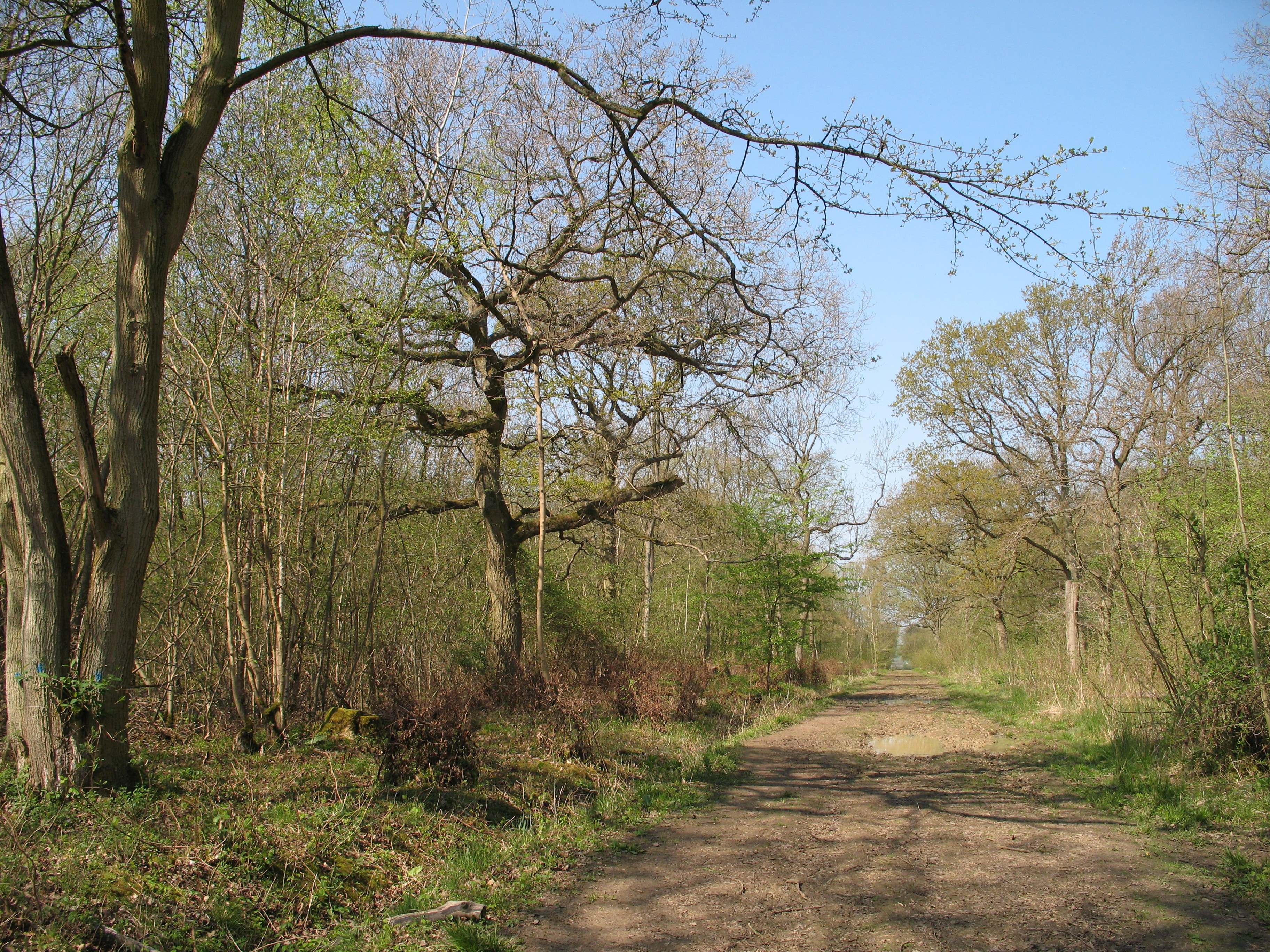
Wildmere Plantation is a pristine woodland located in Huntingdonshire, England. Spread across a vast area, this enchanting forest is a haven for nature enthusiasts and outdoor lovers alike. The plantation is characterized by a diverse range of trees, creating a mesmerizing tapestry of colors throughout the year. Oak, beech, and pine are among the prominent species that flourish in this unique ecosystem.
The forest features numerous well-maintained walking trails, offering visitors the opportunity to explore its natural beauty at their own pace. As they wander through the plantation, visitors are greeted by a tranquil atmosphere, filled with the soothing sounds of birds chirping and leaves rustling in the wind. The lush greenery provides a serene backdrop for picnicking, wildlife watching, and photography.
Wildmere Plantation is not only a recreational spot but also serves as a habitat for a variety of wildlife. Squirrels darting up tree trunks and deer grazing in clearings are common sights, while lucky visitors may even spot a fox or a badger. Birdwatchers are in for a treat, as the plantation is frequented by several avian species, including woodpeckers, owls, and various songbirds.
Managed by local authorities, the plantation ensures the preservation of its natural ecosystem. Regular maintenance activities, such as tree planting and controlled burning, help to sustain the health and vitality of the woodland. With its idyllic setting and rich biodiversity, Wildmere Plantation is a true gem for those seeking a peaceful retreat in the heart of Huntingdonshire.
If you have any feedback on the listing, please let us know in the comments section below.
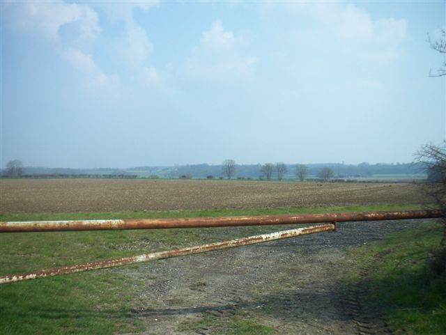
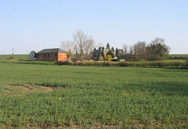
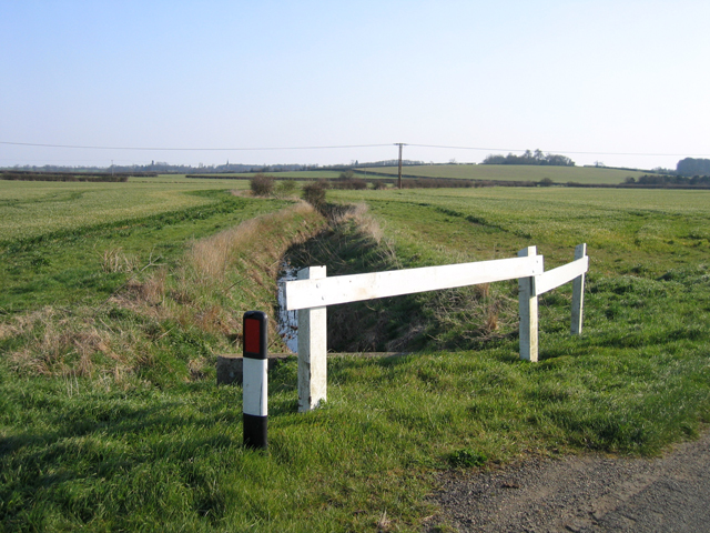
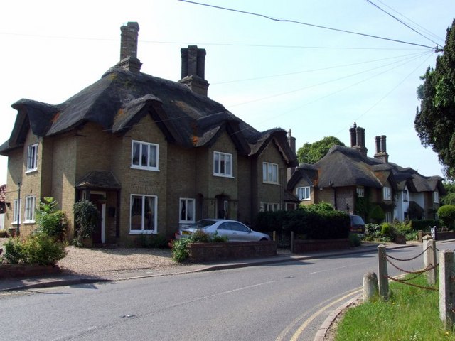
Wildmere Plantation Images
Images are sourced within 2km of 52.183386/-0.1853273 or Grid Reference TL2455. Thanks to Geograph Open Source API. All images are credited.


Wildmere Plantation is located at Grid Ref: TL2455 (Lat: 52.183386, Lng: -0.1853273)
Administrative County: Cambridgeshire
District: Huntingdonshire
Police Authority: Cambridgeshire
What 3 Words
///artist.budgeted.shiny. Near Great Gransden, Cambridgeshire
Nearby Locations
Related Wikis

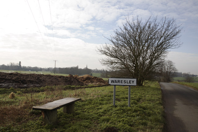
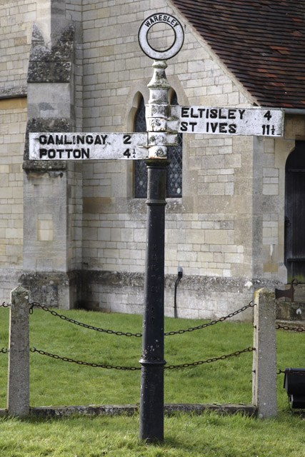
Waresley
Waresley is a village and former civil parish, now in the parish of Waresley-cum-Tetworth, in Cambridgeshire, England. Waresley lies approximately 11 miles...

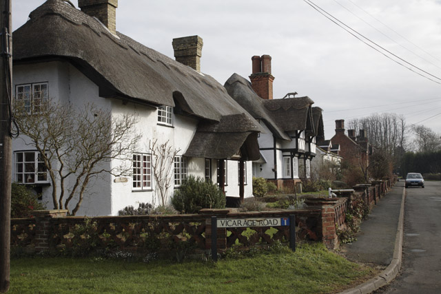
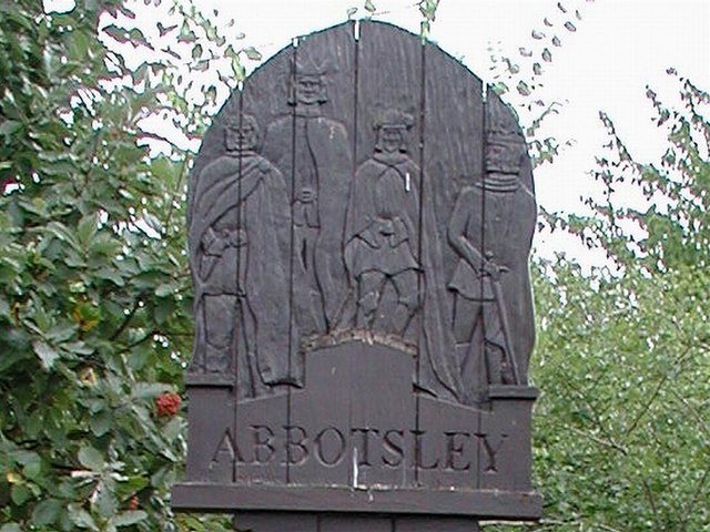
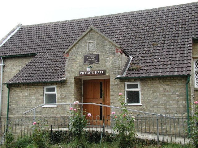
Abbotsley
Abbotsley is a village and civil parish within the Huntingdonshire district of Cambridgeshire, England. It is three miles from St Neots and 14 miles from...

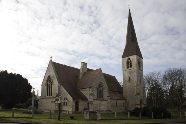
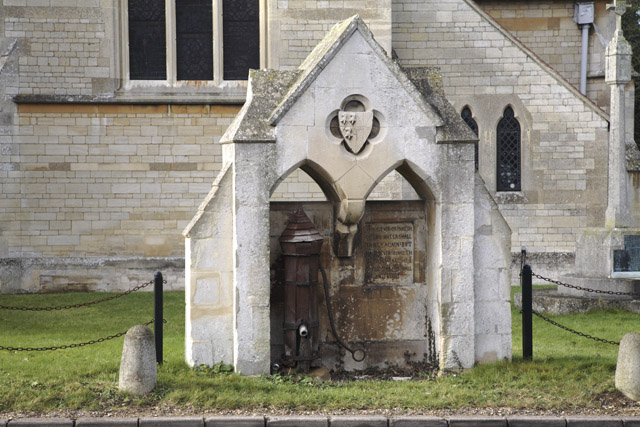
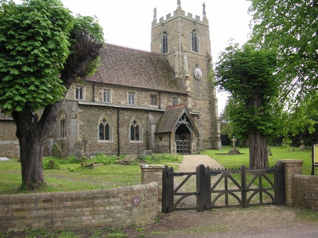
St Margaret's Church, Abbotsley
St Margaret's Church is a historic Anglican church in the village of Abbotsley, Cambridgeshire, England. It is recorded in the National Heritage List...

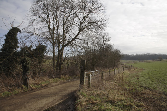
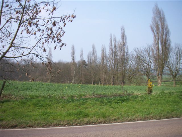
Gamlingay Wood
Gamlingay Wood is a 48.4-hectare (120-acre) biological Site of Special Scientific Interest (SSSI) north of Gamlingay in Cambridgeshire. It is managed by...

Weaveley and Sand Woods
Weaveley and Sand Woods is a 62.0-hectare (153-acre) biological Site of Special Scientific Interest north of Gamlingay in Cambridgeshire.This site has...
Waresley and Gransden Woods
Waresley and Gransden Woods is a 50-hectare (120-acre) nature reserve between Waresley and Great Gransden in Cambridgeshire, England. It is managed by...

Little Gransden Airfield
Little Gransden Airfield (ICAO: EGMJ) is an unlicensed airfield located near the village of Little Gransden, 5 NM (9.3 km; 5.8 mi) southeast of St Neots...

Great Gransden
Great Gransden is a civil parish and village in the Huntingdonshire district of Cambridgeshire, England. In 2001, the parish population was 969, which...
Nearby Amenities
Located within 500m of 52.183386,-0.1853273Have you been to Wildmere Plantation?
Leave your review of Wildmere Plantation below (or comments, questions and feedback).