The Spinney
Wood, Forest in Huntingdonshire Huntingdonshire
England
The Spinney
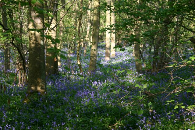
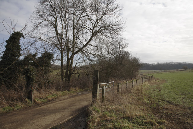
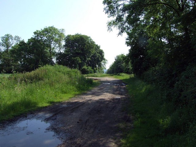
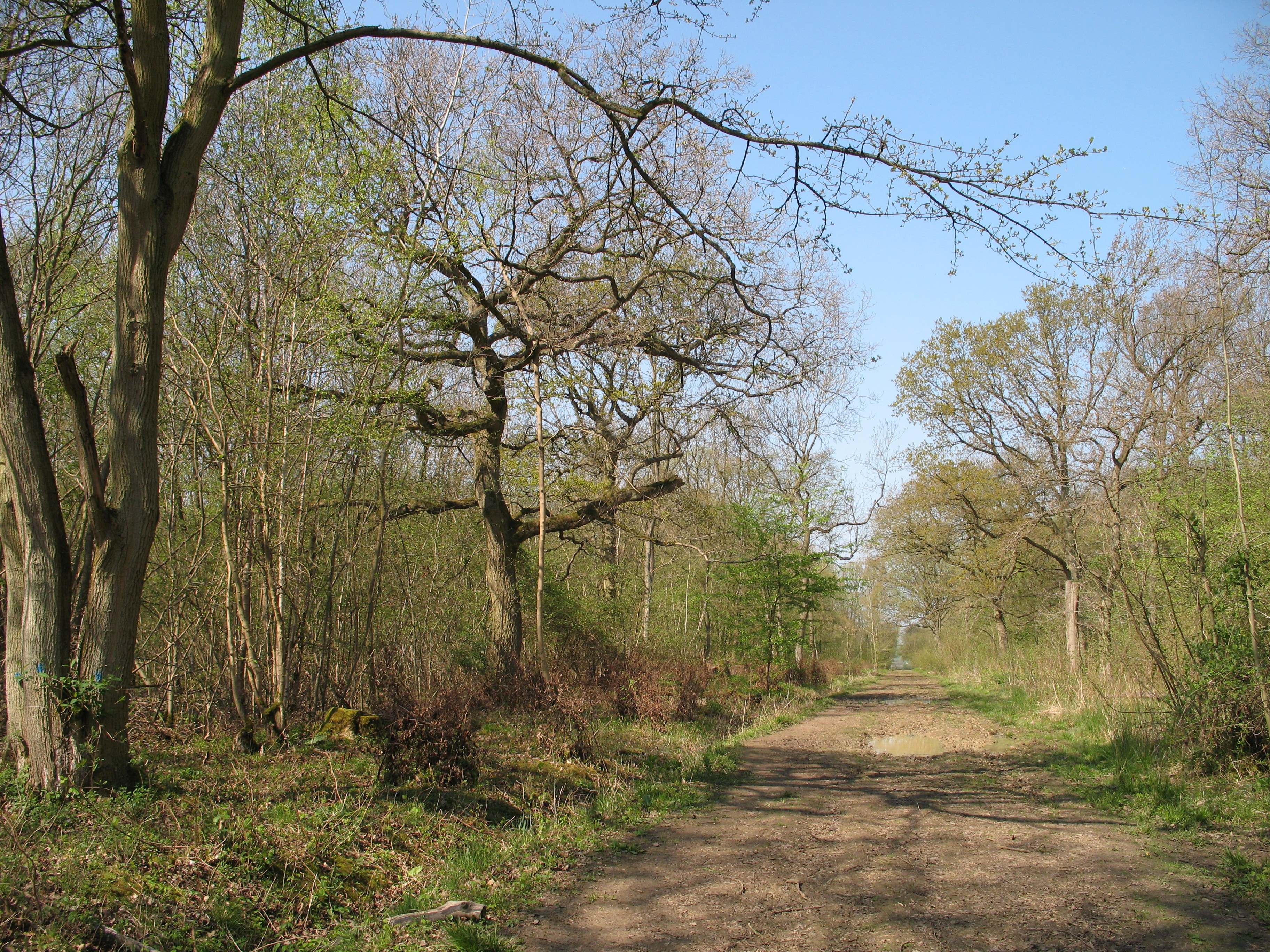
The Spinney, located in Huntingdonshire, is a charming wood forest that offers a serene escape from the bustling city life. Spanning across a vast area, it is a popular destination for nature enthusiasts and those seeking tranquility amidst the natural surroundings.
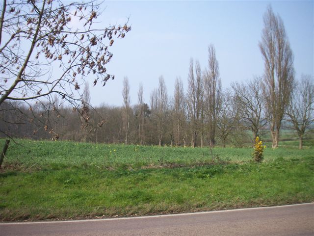
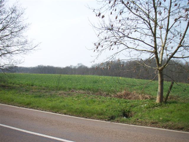
The forest is characterized by a picturesque landscape, featuring a diverse range of trees, including oak, ash, beech, and birch. The dense canopy provides shelter to a variety of wildlife, making it an excellent spot for birdwatching and animal spotting. Visitors can often catch a glimpse of deer, squirrels, and a myriad of bird species during their exploration.
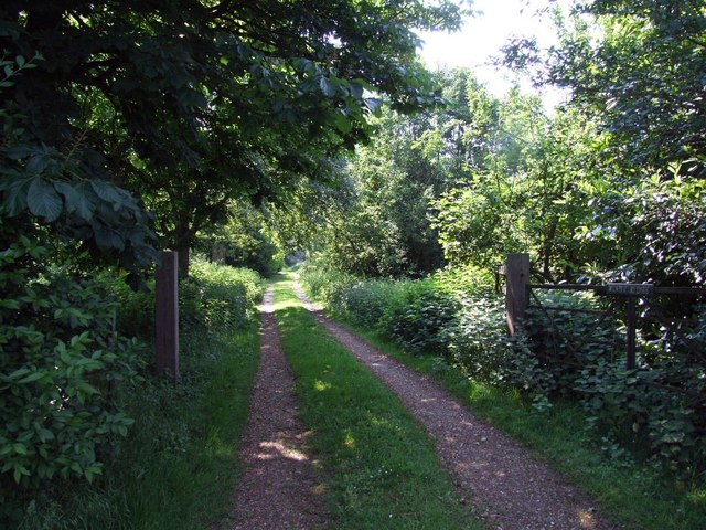
The Spinney boasts a network of well-maintained walking trails that wind through the forest, allowing visitors to immerse themselves in the beauty of nature. These paths are suitable for all levels of fitness and offer opportunities for leisurely strolls or more challenging hikes.
For those interested in the local flora and fauna, guided tours and educational programs are available, providing valuable insights into the ecosystem of the forest. Additionally, there are designated picnic areas, where families and friends can enjoy a delightful outdoor meal surrounded by the peaceful ambiance.
The Spinney is open to the public throughout the year, with changing landscapes and vibrant colors during each season. Whether it's the fresh green leaves of spring, the vibrant hues of autumn, or the frosty beauty of winter, this woodland sanctuary never fails to captivate its visitors with its natural charm.
If you have any feedback on the listing, please let us know in the comments section below.
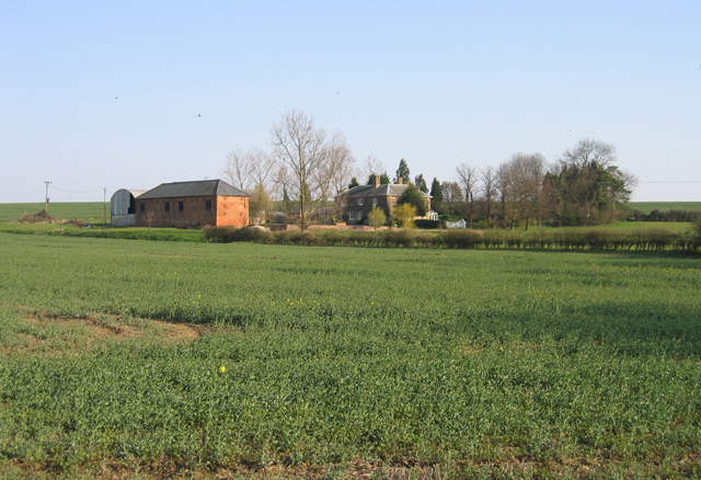
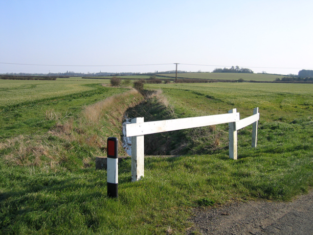
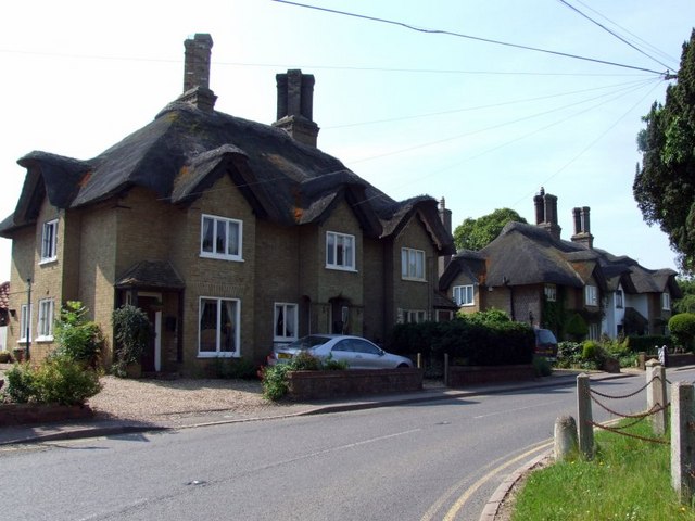
The Spinney Images
Images are sourced within 2km of 52.179923/-0.18055374 or Grid Reference TL2455. Thanks to Geograph Open Source API. All images are credited.

The Spinney is located at Grid Ref: TL2455 (Lat: 52.179923, Lng: -0.18055374)
Administrative County: Cambridgeshire
District: Huntingdonshire
Police Authority: Cambridgeshire
What 3 Words
///districts.copper.sorters. Near Great Gransden, Cambridgeshire
Nearby Locations
Related Wikis

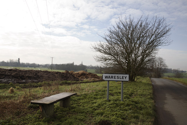
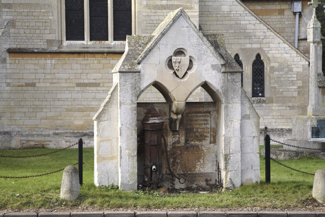
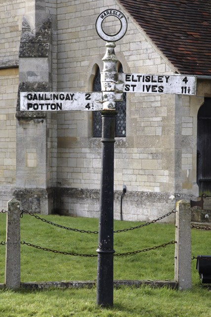
Waresley
Waresley is a village and former civil parish, now in the parish of Waresley-cum-Tetworth, in Cambridgeshire, England. Waresley lies approximately 11 miles...
Waresley and Gransden Woods
Waresley and Gransden Woods is a 50-hectare (120-acre) nature reserve between Waresley and Great Gransden in Cambridgeshire, England. It is managed by...

Gamlingay Wood
Gamlingay Wood is a 48.4-hectare (120-acre) biological Site of Special Scientific Interest (SSSI) north of Gamlingay in Cambridgeshire. It is managed by...

Weaveley and Sand Woods
Weaveley and Sand Woods is a 62.0-hectare (153-acre) biological Site of Special Scientific Interest north of Gamlingay in Cambridgeshire.This site has...

Abbotsley
Abbotsley is a village and civil parish within the Huntingdonshire district of Cambridgeshire, England. It is three miles from St Neots and 14 miles from...

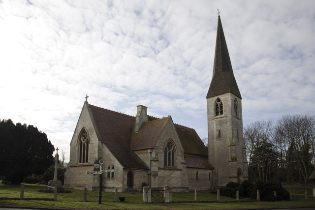
St Margaret's Church, Abbotsley
St Margaret's Church is a historic Anglican church in the village of Abbotsley, Cambridgeshire, England. It is recorded in the National Heritage List...

Little Gransden Airfield
Little Gransden Airfield (ICAO: EGMJ) is an unlicensed airfield located near the village of Little Gransden, 5 NM (9.3 km; 5.8 mi) southeast of St Neots...

Great Gransden
Great Gransden is a civil parish and village in the Huntingdonshire district of Cambridgeshire, England. In 2001, the parish population was 969, which...
Nearby Amenities
Located within 500m of 52.179923,-0.18055374Have you been to The Spinney?
Leave your review of The Spinney below (or comments, questions and feedback).