Firwood

Wood, Forest in Surrey Reigate and Banstead

England

Firwood

Emmanuel  Church, Sidlow Bridge Emmanuel Church designed by Henry Clutton and built in 1861. It was dedicated in 1892 and stands near the bridge over the Mole.
Emmanuel Church, Sidlow Bridge Credit: John Barrett

Firwood, Surrey, also known as Wood or Forest, is a picturesque neighborhood located in the county of Surrey, England. Situated amidst lush green landscapes and natural beauty, Firwood offers a serene and tranquil environment for its residents.

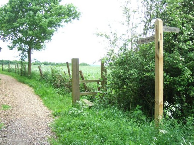
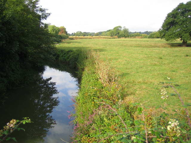
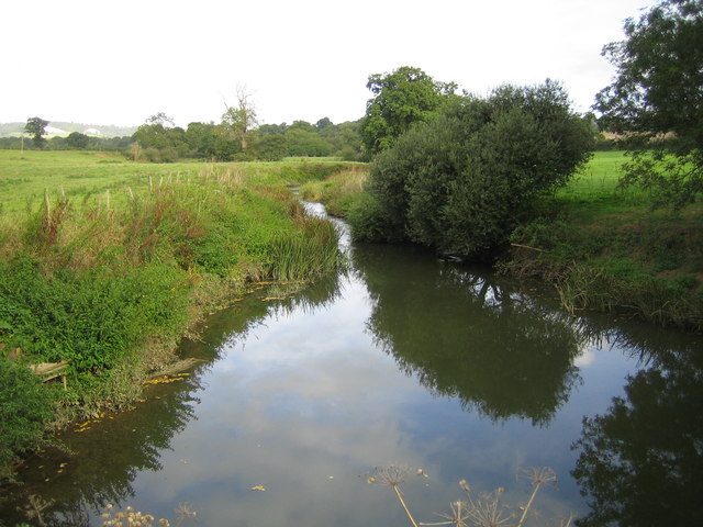
The area is characterized by its abundance of fir trees, which lend their name to the neighborhood. These majestic trees create a dense forest-like atmosphere, providing a sense of peace and seclusion to those who reside here. The woodlands are often frequented by nature enthusiasts, walkers, and joggers, who enjoy the numerous trails and paths that wind through the area.

Firwood boasts a close-knit community feel, with a mix of residential properties ranging from quaint cottages to modern family homes. The residents of Firwood take pride in their neighborhood and actively participate in local events and initiatives. The neighborhood has a number of amenities, including a local school, shops, and community centers, catering to the needs of its residents.

Despite its idyllic and secluded setting, Firwood is conveniently located near major transportation routes, allowing for easy access to nearby towns and cities. The neighborhood is situated in close proximity to the bustling town of Guildford, offering a range of shopping, dining, and entertainment options.

Overall, Firwood, Surrey, provides a slice of peaceful countryside living while still being within reach of urban conveniences. Its natural beauty, strong community spirit, and convenient location make it a desirable place to call home for individuals and families alike.

If you have any feedback on the listing, please let us know in the comments section below.
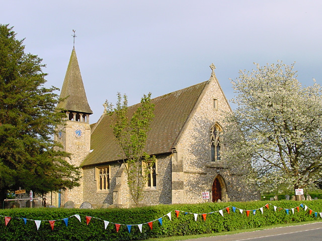
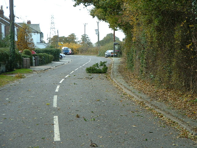
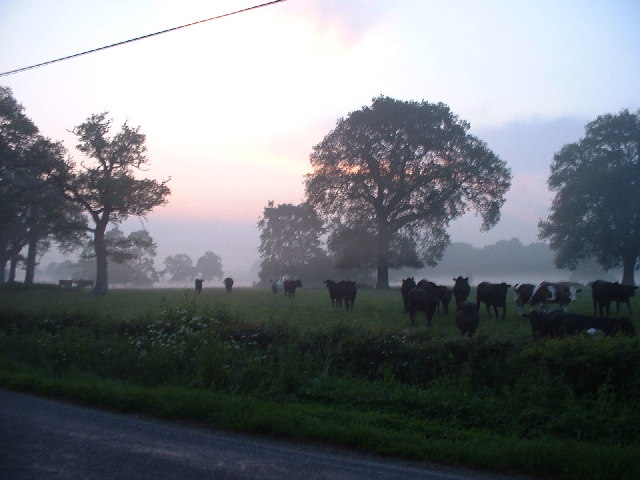
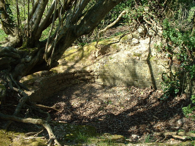
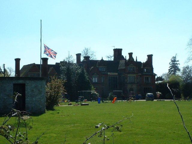
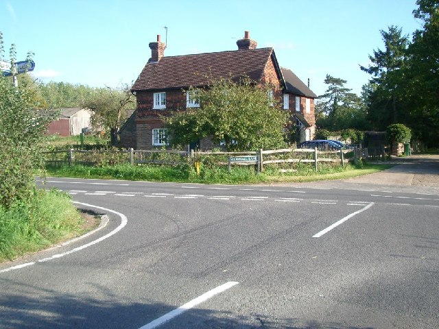
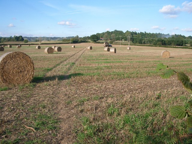
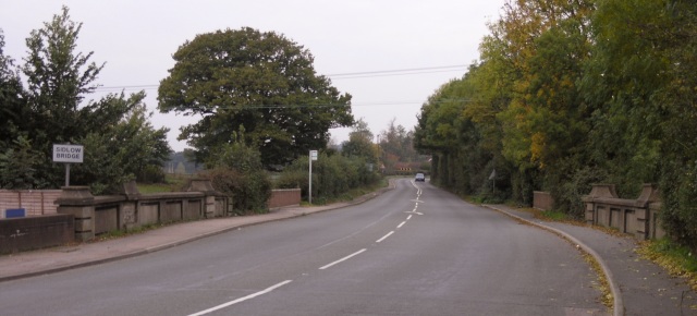
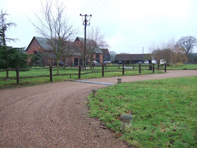
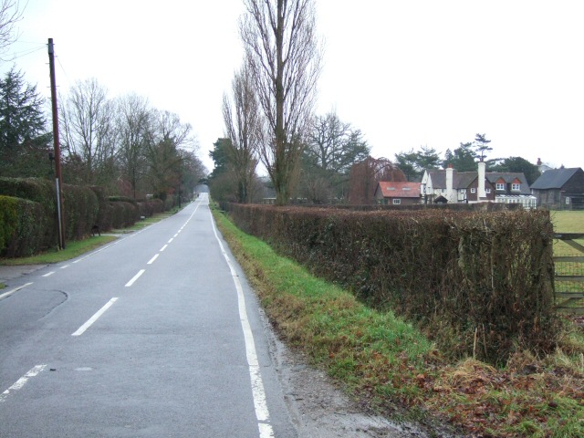
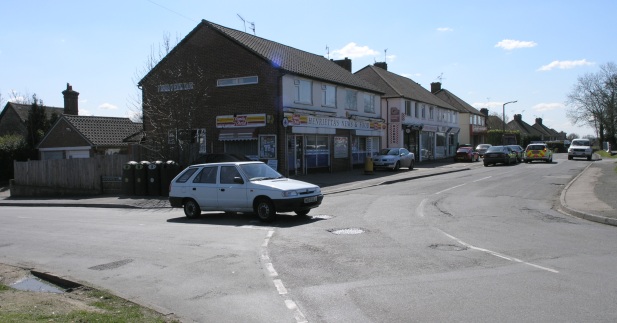
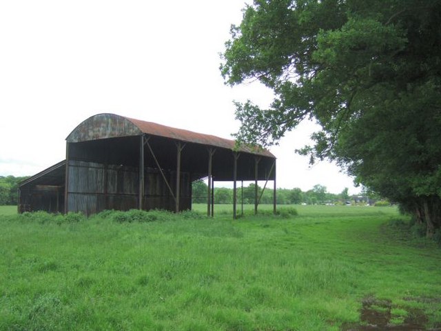
Firwood Images

Images are sourced within 2km of 51.208109/-0.21922963 or Grid Reference TQ2446. Thanks to Geograph Open Source API. All images are credited.

Emmanuel  Church, Sidlow Bridge Emmanuel Church designed by Henry Clutton and built in 1861. It was dedicated in 1892 and stands near the bridge over the Mole.
Emmanuel Church, Sidlow Bridge
Emmanuel Church designed by Henry Clutton and built in 1861. It was dedicated in 1892 and stands near the bridge over the Mole.
Irons Bottom following a storm
Sunrise at Irons Bottom Just before dawn - during a partial solar eclipse
Sunrise at Irons Bottom
Just before dawn - during a partial solar eclipse
Remains of a Lime Kiln near Leigh
Bury's Court School
Bury's Court School
Flanchford Farm At the junction of Flanchford Road with Clayhall Lane (looking south-east)
Flanchford Farm
At the junction of Flanchford Road with Clayhall Lane (looking south-east)
Footpath north of Clayhall Lane looking north - the line of tyre tracks across the field is clearly visible
Footpath north of Clayhall Lane
looking north - the line of tyre tracks across the field is clearly visible
Footpath north of Flanchford Road, at Hill View
Sidlow Bridge Sidlow Bridge in Sidlow, where the A217 crosses the River Mole.
Sidlow Bridge
Sidlow Bridge in Sidlow, where the A217 crosses the River Mole.
Hartswood Manor Now a collection of private houses.
Hartswood Manor
Now a collection of private houses.
Deanoak Lane Property on the right is <a href="https://www.geograph.org.uk/photo/1854443">TQ2345 : Grove Farm House</a>.
Deanoak Lane
Property on the right is TQ2345 : Grove Farm House.
Local Shops in South Park Some local shops in South Park, just south of Reigate.
Local Shops in South Park
Some local shops in South Park, just south of Reigate.
Isolated Barn Magpie Wood is on the right; the building in the distance is Wolvers
Isolated Barn
Magpie Wood is on the right; the building in the distance is Wolvers
Footpath Crossing On the way from the A217 to Magpie Wood and Wolvers.
Footpath Crossing
On the way from the A217 to Magpie Wood and Wolvers.
Sidlow Bridge: Emmanuel Church The east facade with three finial crosses on the roof ridges, this is the opposite view to John's <a href="https://www.geograph.org.uk/photo/6365">TQ2546 : Emmanuel  Church, Sidlow Bridge</a> . The Church's website is here <span class="nowrap"><a title="http://www.emmanuelchurchsidlow.co.uk/" rel="nofollow ugc noopener" href="http://www.emmanuelchurchsidlow.co.uk/">Link</a><img style="margin-left:2px;" alt="External link" title="External link - shift click to open in new window" src="https://s1.geograph.org.uk/img/external.png" width="10" height="10"/></span>
Sidlow Bridge: Emmanuel Church
The east facade with three finial crosses on the roof ridges, this is the opposite view to John's TQ2546 : Emmanuel Church, Sidlow Bridge . The Church's website is here LinkExternal link
River Mole from Sidlow Bridge Looking downstream.
River Mole from Sidlow Bridge
Looking downstream.
Flanchford Watermill Under partial restoration
Flanchford Watermill
Under partial restoration
River Mole from Flanchford Bridge Looking downstream.
River Mole from Flanchford Bridge
Looking downstream.
Show me another place!

Firwood is located at Grid Ref: TQ2446 (Lat: 51.208109, Lng: -0.21922963)

Administrative County: Surrey

District: Reigate and Banstead

Police Authority: Surrey

What 3 Words

///bolt.rabble.dirt. Near Reigate, Surrey

Related Wikis

Moon Hall School

Moon Hall School, since 1952 an independent co-educational preparatory school at Leigh, near Reigate in Surrey, is currently, as of 2021, a special school...

Sidlow

Sidlow is a mainly rural, lightly populated village in the parish of Salfords and Sidlow, in the south of the borough of Reigate and Banstead in Surrey...

South Park F.C.

South Park Reigate Football Club are an English football club based in Reigate, Surrey. The club is affiliated to the Surrey County Football Association...

Reigate Hundred

Reigate was a hundred in what is now Surrey, England. It was geographically consonant with the southern two thirds of Borough of Reigate and Banstead together...

Salfords and Sidlow

Salfords and Sidlow is a civil parish in the Reigate and Banstead borough of Surrey, England. It has a population of 3,069. The parish includes the villages...

Reigate School

Reigate School is an 11–16 mixed secondary school with academy status in Reigate, Surrey, England. It has been a part of the Greensand Multi-Academy Trust...

Woodhatch Place, Reigate

Woodhatch Place is a large office building on Cockshot Hill, Reigate, Surrey, England, which serves as the headquarters of Surrey County Council. The main...
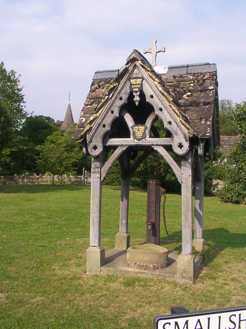
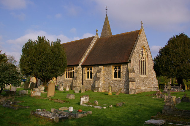
Leigh, Surrey

Leigh is a village and civil parish in Surrey, between Reigate, Dorking and Charlwood in the east of Mole Valley district. The village centre is suburban...

Nearby Amenities

Located within 500m of 51.208109,-0.21922963
Building: bunker
Bunker Type: pillbox
Military: bunker
Source: Yahoo
Lat/Long: 51.2123723/-0.2189949
Barrier: stile
Lat/Long: 51.20604/-0.2241343
Power: pole
Lat/Long: 51.2052349/-0.2137345
Power: pole
Lat/Long: 51.2120185/-0.2212769
Power: pole
Lat/Long: 51.2109431/-0.2209979
Power: pole
Lat/Long: 51.209861/-0.2207351
Power: pole
Lat/Long: 51.2120084/-0.2214003
Power: pole
Lat/Long: 51.2108877/-0.2211481
Power: pole
Lat/Long: 51.2099753/-0.2209041
Power: pole
Lat/Long: 51.2086428/-0.2205688
Power: pole
Lat/Long: 51.206954/-0.2196702
Power: pole
Lat/Long: 51.2062011/-0.2192545
Power: pole
Lat/Long: 51.2086596/-0.2204347
Power: pole
Lat/Long: 51.2070044/-0.2195308
Power: pole
Lat/Long: 51.2060869/-0.2190211
Bures Manor
Place: isolated_dwelling
Lat/Long: 51.2069397/-0.2245591
The data included in this document is from www.openstreetmap.org. The data is made available under ODbL.

Have you been to Firwood?

Leave your review of Firwood below (or comments, questions and feedback).