River Field Plantation

Wood, Forest in Surrey Reigate and Banstead

England

River Field Plantation

Emmanuel  Church, Sidlow Bridge Emmanuel Church designed by Henry Clutton and built in 1861. It was dedicated in 1892 and stands near the bridge over the Mole.
Emmanuel Church, Sidlow Bridge Credit: John Barrett

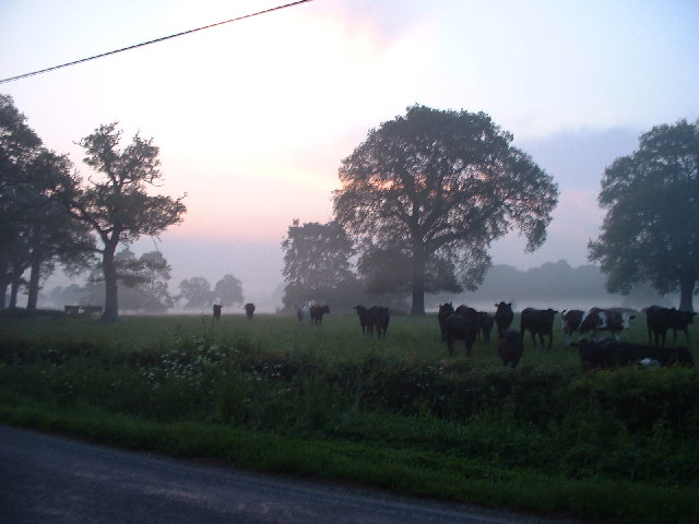
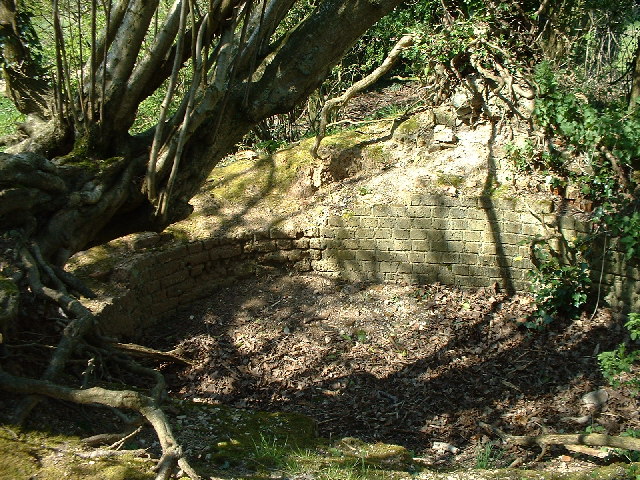
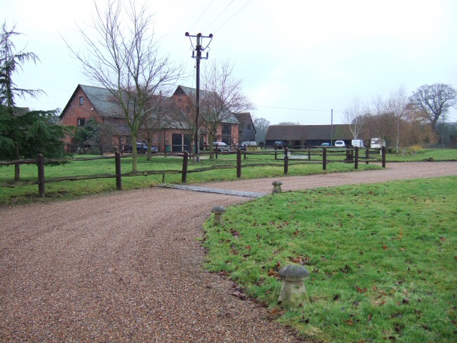
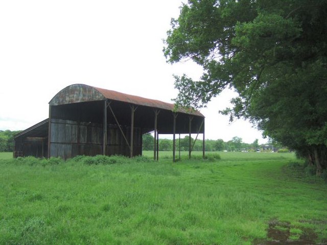
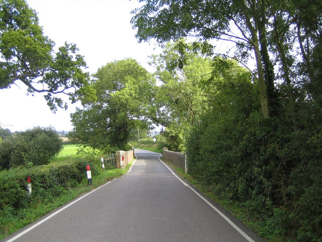
River Field Plantation is a picturesque woodland area located in Surrey, England. Covering an area of approximately 100 acres, this enchanting plantation is known for its dense forests, meandering river, and diverse flora and fauna. It is situated in close proximity to the village of Wood and is often referred to as the Wood Forest.

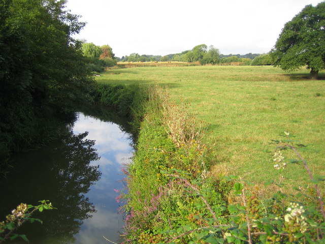
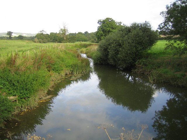
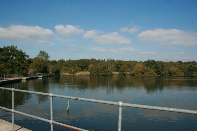
The plantation is characterized by its towering oak, beech, and pine trees that create a dense and lush canopy. The river that runs through the plantation adds to its charm, providing a serene and tranquil atmosphere. The crystal-clear waters of the river are home to various species of fish and other aquatic life.

One of the notable features of River Field Plantation is its rich biodiversity. The forest is home to numerous species of birds, including woodpeckers, owls, and various songbirds, making it a popular destination for birdwatchers. Additionally, the dense undergrowth and wildflowers attract a wide range of insects and small mammals.

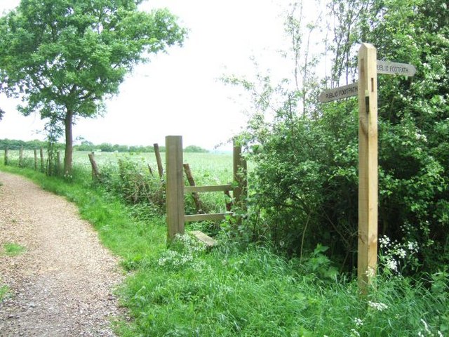
The plantation is also a popular destination for outdoor enthusiasts and nature lovers. It offers several walking trails that allow visitors to explore the beauty of the woodland and enjoy the peaceful surroundings. These trails are well-maintained and provide opportunities for both leisurely strolls and more challenging hikes.

Overall, River Field Plantation, Surrey (Wood, Forest) is a haven for nature lovers seeking to immerse themselves in the beauty of the British countryside. Its enchanting forests, meandering river, and diverse wildlife make it a must-visit destination for anyone looking to escape the hustle and bustle of city life.

If you have any feedback on the listing, please let us know in the comments section below.

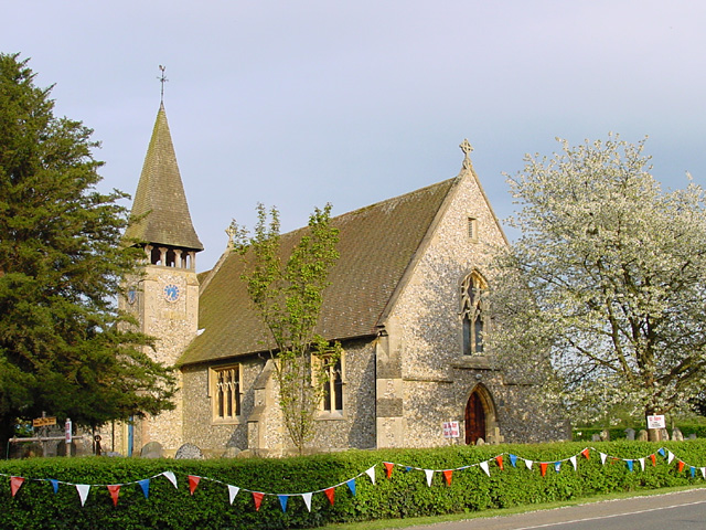
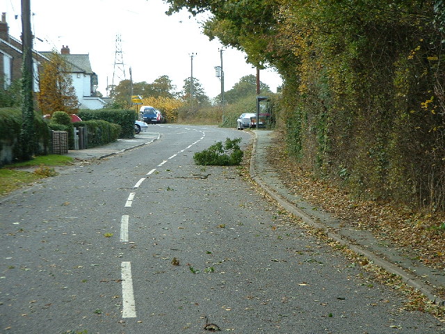
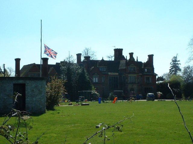
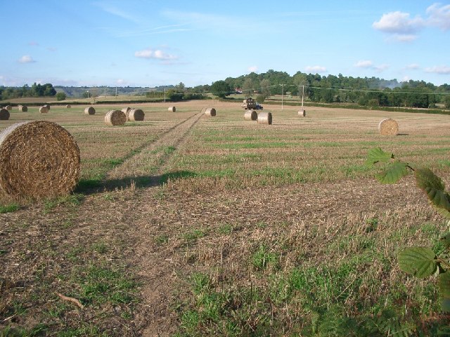
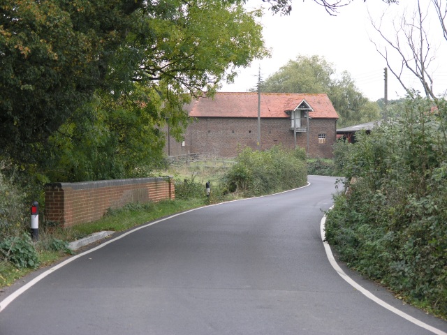
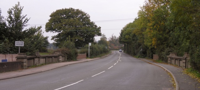
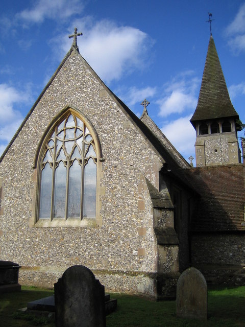
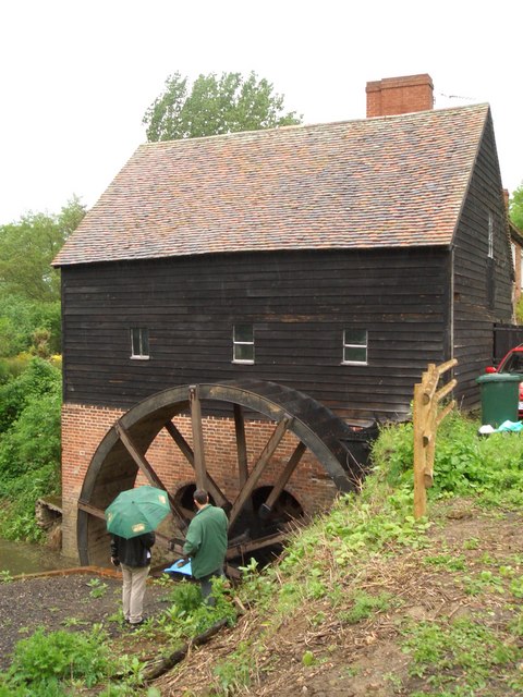
River Field Plantation Images

Images are sourced within 2km of 51.207194/-0.21348122 or Grid Reference TQ2446. Thanks to Geograph Open Source API. All images are credited.

Emmanuel  Church, Sidlow Bridge Emmanuel Church designed by Henry Clutton and built in 1861. It was dedicated in 1892 and stands near the bridge over the Mole.
Emmanuel Church, Sidlow Bridge
Emmanuel Church designed by Henry Clutton and built in 1861. It was dedicated in 1892 and stands near the bridge over the Mole.
Irons Bottom following a storm
Sunrise at Irons Bottom Just before dawn - during a partial solar eclipse
Sunrise at Irons Bottom
Just before dawn - during a partial solar eclipse
Remains of a Lime Kiln near Leigh
Bury's Court School
Bury's Court School
Footpath north of Clayhall Lane looking north - the line of tyre tracks across the field is clearly visible
Footpath north of Clayhall Lane
looking north - the line of tyre tracks across the field is clearly visible
Bridge over Salfords Stream The road bridge over Salfords Stream.  Some buildings belonging to Lonesome Farm can be seen in the background and a small weir was observed through the trees to the right of the picture.
Bridge over Salfords Stream
The road bridge over Salfords Stream. Some buildings belonging to Lonesome Farm can be seen in the background and a small weir was observed through the trees to the right of the picture.
Public Footpath off Lonesome Lane The writing on this sign reads "Public Footpath to Sidlow" and the path runs through open fields beyond the gate towards Sidlow Bridge.
Public Footpath off Lonesome Lane
The writing on this sign reads "Public Footpath to Sidlow" and the path runs through open fields beyond the gate towards Sidlow Bridge.
Sidlow Bridge Sidlow Bridge in Sidlow, where the A217 crosses the River Mole.
Sidlow Bridge
Sidlow Bridge in Sidlow, where the A217 crosses the River Mole.
Hartswood Manor Now a collection of private houses.
Hartswood Manor
Now a collection of private houses.
Local Shops in South Park Some local shops in South Park, just south of Reigate.
Local Shops in South Park
Some local shops in South Park, just south of Reigate.
Isolated Barn Magpie Wood is on the right; the building in the distance is Wolvers
Isolated Barn
Magpie Wood is on the right; the building in the distance is Wolvers
Footpath Crossing On the way from the A217 to Magpie Wood and Wolvers.
Footpath Crossing
On the way from the A217 to Magpie Wood and Wolvers.
Sidlow Bridge: Emmanuel Church The east facade with three finial crosses on the roof ridges, this is the opposite view to John's <a href="https://www.geograph.org.uk/photo/6365">TQ2546 : Emmanuel  Church, Sidlow Bridge</a> . The Church's website is here <span class="nowrap"><a title="http://www.emmanuelchurchsidlow.co.uk/" rel="nofollow ugc noopener" href="http://www.emmanuelchurchsidlow.co.uk/">Link</a><img style="margin-left:2px;" alt="External link" title="External link - shift click to open in new window" src="https://s1.geograph.org.uk/img/external.png" width="10" height="10"/></span>
Sidlow Bridge: Emmanuel Church
The east facade with three finial crosses on the roof ridges, this is the opposite view to John's TQ2546 : Emmanuel Church, Sidlow Bridge . The Church's website is here LinkExternal link
River Mole from Sidlow Bridge Looking downstream.
River Mole from Sidlow Bridge
Looking downstream.
Flanchford Watermill Under partial restoration
Flanchford Watermill
Under partial restoration
River Mole from Flanchford Bridge Looking downstream.
River Mole from Flanchford Bridge
Looking downstream.
Leigh: Flanchford Bridge This narrow bridge takes Flanchford Road over the River Mole. A view of the River Mole from the bridge, but in the adjacent grid square, is here <a href="https://www.geograph.org.uk/photo/244970">TQ2348 : River Mole from Flanchford Bridge</a>
Leigh: Flanchford Bridge
This narrow bridge takes Flanchford Road over the River Mole. A view of the River Mole from the bridge, but in the adjacent grid square, is here TQ2348 : River Mole from Flanchford Bridge
Show me another place!

River Field Plantation is located at Grid Ref: TQ2446 (Lat: 51.207194, Lng: -0.21348122)

Administrative County: Surrey

District: Reigate and Banstead

Police Authority: Surrey

What 3 Words

///void.gross.loans. Near Salfords, Surrey

Related Wikis

Sidlow

Sidlow is a mainly rural, lightly populated village in the parish of Salfords and Sidlow, in the south of the borough of Reigate and Banstead in Surrey...

Moon Hall School

Moon Hall School, since 1952 an independent co-educational preparatory school at Leigh, near Reigate in Surrey, is currently, as of 2021, a special school...

Reigate Hundred

Reigate was a hundred in what is now Surrey, England. It was geographically consonant with the southern two thirds of Borough of Reigate and Banstead together...

South Park F.C.

South Park Reigate Football Club are an English football club based in Reigate, Surrey. The club is affiliated to the Surrey County Football Association...

Salfords and Sidlow

Salfords and Sidlow is a civil parish in the Reigate and Banstead borough of Surrey, England. It has a population of 3,069. The parish includes the villages...

Reigate School

Reigate School is an 11–16 mixed secondary school with academy status in Reigate, Surrey, England. It has been a part of the Greensand Multi-Academy Trust...

Woodhatch Place, Reigate

Woodhatch Place is a large office building on Cockshot Hill, Reigate, Surrey, England, which serves as the headquarters of Surrey County Council. The main...

Earlswood Common

Earlswood Common is an 89.1-hectare (220-acre) Local Nature Reserve in Redhill in Surrey. It is owned and managed by Reigate and Banstead Borough Council...

Nearby Amenities

Located within 500m of 51.207194,-0.21348122
Building: bunker
Bunker Type: pillbox
Military: bunker
Source: Yahoo
Lat/Long: 51.208845/-0.2072018
Bus Stop
Irons Bottom Institute
Bus: yes
Naptan AtcoCode: 40004409022B
Naptan Bearing: SW
Naptan CommonName: Irons Bottom Institute
Naptan Indicator: Just after
Naptan Landmark: Irons Bottom Institute
Naptan NaptanCode: surdgmpt
Naptan Street: Irons Bottom
Naptan Verified: yes
Physically Present: no
Public Transport: platform
Source: naptan_import
Lat/Long: 51.2044151/-0.2088806
Power: pole
Source: survey
Lat/Long: 51.2033695/-0.2162343
Power: pole
Source: survey
Lat/Long: 51.2038602/-0.2154994
Power: pole
Source: survey
Lat/Long: 51.2052231/-0.213646
Power: pole
Source: gps
Lat/Long: 51.2027785/-0.2122401
Power: pole
Source: gps
Lat/Long: 51.2029506/-0.2120635
Power: pole
Source: gps
Lat/Long: 51.203351/-0.211578
Power: pole
Source: gps
Lat/Long: 51.2035207/-0.2112481
Power: pole
Source: gps
Lat/Long: 51.2036871/-0.2108726
Power: pole
Source: gps
Lat/Long: 51.2039005/-0.2102879
Power: pole
Source: gps
Lat/Long: 51.2041341/-0.2097434
Power: pole
Source: gps
Lat/Long: 51.2044055/-0.2092297
Power: pole
Source: gps
Lat/Long: 51.2046139/-0.2087429
Power: pole
Source: gps
Lat/Long: 51.2048517/-0.2081059
Power: pole
Lat/Long: 51.2049357/-0.2078202
Power: pole
Lat/Long: 51.2034065/-0.2163309
Power: pole
Lat/Long: 51.2039005/-0.2155852
Power: pole
Lat/Long: 51.2052349/-0.2137345
Power: pole
Lat/Long: 51.206107/-0.2127421
Power: pole
Lat/Long: 51.2066532/-0.2110872
Power: pole
Lat/Long: 51.2071506/-0.2096093
Power: pole
Lat/Long: 51.2076295/-0.2081877
Power: pole
Lat/Long: 51.2081084/-0.2067152
Power: pole
Lat/Long: 51.2080227/-0.2066803
Power: pole
Lat/Long: 51.2075421/-0.2081314
Power: pole
Lat/Long: 51.2070682/-0.2095744
Power: pole
Lat/Long: 51.2065977/-0.2110228
Power: pole
Lat/Long: 51.2060583/-0.2126563
Power: pole
Lat/Long: 51.206954/-0.2196702
Power: pole
Lat/Long: 51.2062011/-0.2192545
Power: pole
Lat/Long: 51.2070044/-0.2195308
Power: pole
Lat/Long: 51.2060869/-0.2190211
The data included in this document is from www.openstreetmap.org. The data is made available under ODbL.

Have you been to River Field Plantation?

Leave your review of River Field Plantation below (or comments, questions and feedback).