Stumblehole Common

Downs, Moorland in Surrey Mole Valley

England

Stumblehole Common

Emmanuel  Church, Sidlow Bridge Emmanuel Church designed by Henry Clutton and built in 1861. It was dedicated in 1892 and stands near the bridge over the Mole.
Emmanuel Church, Sidlow Bridge Credit: John Barrett

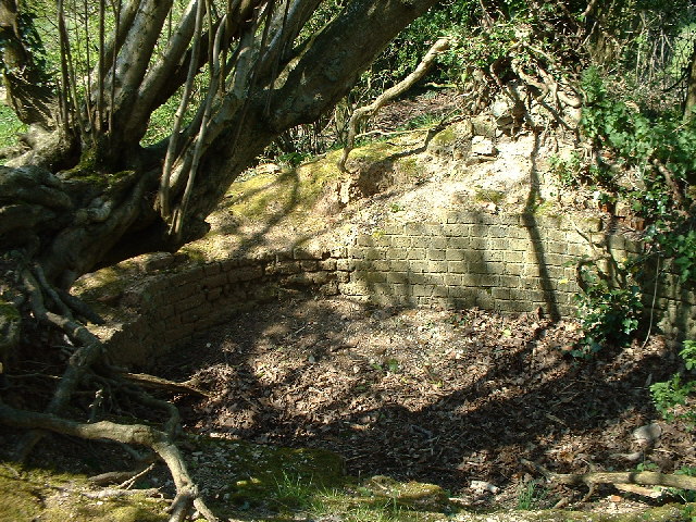
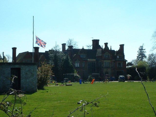
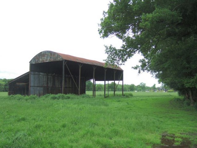
Stumblehole Common is a picturesque and expansive area located in Surrey, England. Covering a vast expanse of downs and moorland, it is a nature lover's paradise. The common is situated within the Surrey Hills Area of Outstanding Natural Beauty, adding to its appeal and attracting visitors from far and wide.

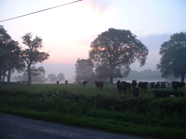
The common is characterized by its rolling hills, heathland, and open grassland. It is home to a diverse range of flora and fauna, making it a haven for wildlife enthusiasts and birdwatchers. Rare species such as the Dartford warbler and the silver-studded blue butterfly can be spotted here, adding to the natural beauty of the area.

Visitors to Stumblehole Common can enjoy a variety of recreational activities. There are several walking trails and footpaths that crisscross the common, providing opportunities for leisurely strolls or more challenging hikes. The expansive open spaces also make it an ideal spot for picnics, kite flying, and nature photography.

The common is managed by a local conservation organization, ensuring the preservation of its natural habitats and the protection of its wildlife. The organization also organizes educational programs and guided walks, promoting awareness and knowledge about the common's ecology and biodiversity.

Stumblehole Common offers a tranquil and serene escape from the hustle and bustle of city life. Its natural beauty, diverse wildlife, and recreational opportunities make it a must-visit destination for nature enthusiasts and those seeking a peaceful retreat in the heart of Surrey.

If you have any feedback on the listing, please let us know in the comments section below.

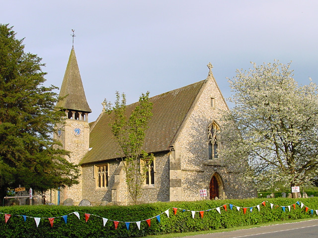
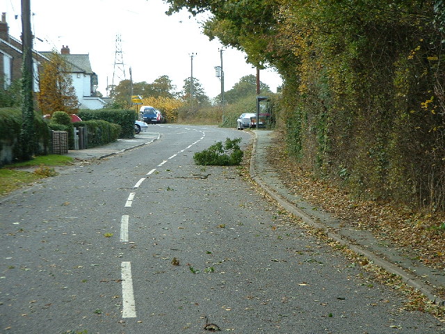
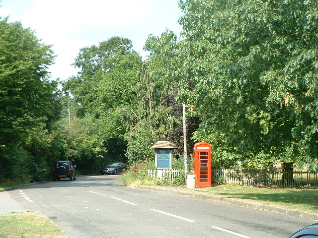
Stumblehole Common Images

Images are sourced within 2km of 51.200343/-0.22538353 or Grid Reference TQ2446. Thanks to Geograph Open Source API. All images are credited.

Emmanuel  Church, Sidlow Bridge Emmanuel Church designed by Henry Clutton and built in 1861. It was dedicated in 1892 and stands near the bridge over the Mole.
Emmanuel Church, Sidlow Bridge
Emmanuel Church designed by Henry Clutton and built in 1861. It was dedicated in 1892 and stands near the bridge over the Mole.
Sunset over woodland to the North-West of Collendean Lane * accepted as a supplemental image for use as an example in the guide.
Sunset over woodland to the North-West of Collendean Lane
* accepted as a supplemental image for use as an example in the guide.
Church at Leigh
Church at Leigh
Irons Bottom following a storm
Sunrise at Irons Bottom Just before dawn - during a partial solar eclipse
Sunrise at Irons Bottom
Just before dawn - during a partial solar eclipse
The Plough pub at Leigh
Telephone box at Leigh
Climbing roses on wall near Little Mynthurst Farm
Cornfield taken from public footpath at Nutley Dean Farm
Remains of a Lime Kiln near Leigh
Bury's Court School
Bury's Court School
The old village pump, Leigh Another Surrey village with an old pump on the green.
The old village pump, Leigh
Another Surrey village with an old pump on the green.
Leigh Water Pump Looking roughly South down the main road in Leigh.  The water pump here is similar to the one in Brockham village <a href="https://www.geograph.org.uk/gridref/TQ1949">TQ1949</a> to the North West.
Leigh Water Pump
Looking roughly South down the main road in Leigh. The water pump here is similar to the one in Brockham village TQ1949 to the North West.
Hartswood Manor Now a collection of private houses.
Hartswood Manor
Now a collection of private houses.
"V" -shaped Tree "V"-shaped at Mynthurst (looking North).
"V" -shaped Tree
"V"-shaped at Mynthurst (looking North).
Deanoak Lane Property on the right is <a href="https://www.geograph.org.uk/photo/1854443">TQ2345 : Grove Farm House</a>.
Deanoak Lane
Property on the right is TQ2345 : Grove Farm House.
Mynthurst Farm
Mynthurst Farm
Isolated Barn Magpie Wood is on the right; the building in the distance is Wolvers
Isolated Barn
Magpie Wood is on the right; the building in the distance is Wolvers
Show me another place!

Stumblehole Common is located at Grid Ref: TQ2446 (Lat: 51.200343, Lng: -0.22538353)

Administrative County: Surrey

District: Mole Valley

Police Authority: Surrey

What 3 Words

///punk.offers.circle. Near Salfords, Surrey

Related Wikis

Moon Hall School

Moon Hall School, since 1952 an independent co-educational preparatory school at Leigh, near Reigate in Surrey, is currently, as of 2021, a special school...

Sidlow

Sidlow is a mainly rural, lightly populated village in the parish of Salfords and Sidlow, in the south of the borough of Reigate and Banstead in Surrey...

Reigate Hundred

Reigate was a hundred in what is now Surrey, England. It was geographically consonant with the southern two thirds of Borough of Reigate and Banstead together...
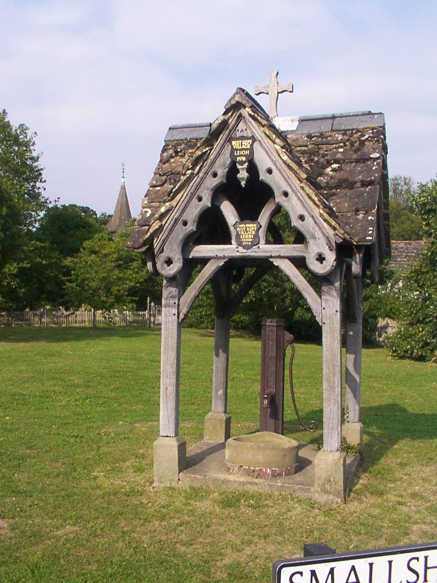
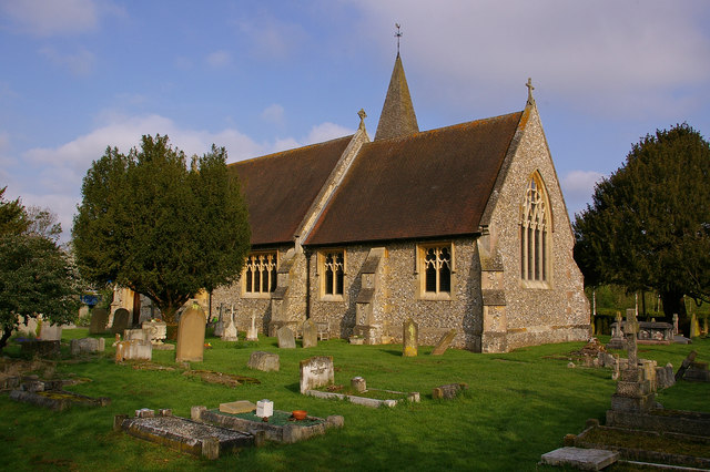
Leigh, Surrey

Leigh is a village and civil parish in Surrey, between Reigate, Dorking and Charlwood in the east of Mole Valley district. The village centre is suburban...

South Park F.C.

South Park Reigate Football Club are an English football club based in Reigate, Surrey. The club is affiliated to the Surrey County Football Association...

Salfords and Sidlow

Salfords and Sidlow is a civil parish in the Reigate and Banstead borough of Surrey, England. It has a population of 3,069. The parish includes the villages...

Reigate School

Reigate School is an 11–16 mixed secondary school with academy status in Reigate, Surrey, England. It has been a part of the Greensand Multi-Academy Trust...

Woodhatch Place, Reigate

Woodhatch Place is a large office building on Cockshot Hill, Reigate, Surrey, England, which serves as the headquarters of Surrey County Council. The main...

Nearby Amenities

Located within 500m of 51.200343,-0.22538353
Barrier: stile
Lat/Long: 51.2030359/-0.22521
Power: pole
Lat/Long: 51.1976438/-0.220232
Power: pole
Lat/Long: 51.1988573/-0.2195775
Power: pole
Lat/Long: 51.1988573/-0.2187407
Power: pole
Lat/Long: 51.2000372/-0.2189016
Barrier: stile
Lat/Long: 51.1963581/-0.2255397
Barrier: stile
Lat/Long: 51.2006075/-0.2298129
Barrier: stile
Lat/Long: 51.1963766/-0.2258712
Barrier: stile
Lat/Long: 51.1999786/-0.228987
Barrier: stile
Lat/Long: 51.2029153/-0.2261212
Barrier: stile
Lat/Long: 51.2034442/-0.2231307
Barrier: stile
Lat/Long: 51.2009844/-0.2300143
Barrier: stile
Lat/Long: 51.1999824/-0.2289018
Barrier: stile
Lat/Long: 51.1985501/-0.2269686
Power: pole
Source: gps;Bing
Lat/Long: 51.1970501/-0.2301067
Power: pole
Source: gps;Bing
Lat/Long: 51.1973779/-0.2289976
Power: pole
Source: gps;Bing
Lat/Long: 51.197772/-0.2279502
Power: pole
Source: gps;Bing
Lat/Long: 51.1985907/-0.2260941
Power: pole
Source: gps;Bing
Lat/Long: 51.1981849/-0.2270396
Barrier: stile
Lat/Long: 51.2034446/-0.2231531
Power: pole
Lat/Long: 51.2014032/-0.2184311
Power: pole
Lat/Long: 51.2001377/-0.2198312
Power: pole
Lat/Long: 51.2007914/-0.2191338
Passing Place
Lat/Long: 51.1986432/-0.2243727
Passing Place
Lat/Long: 51.1983295/-0.2283168
Stumblehole
Place: isolated_dwelling
Lat/Long: 51.1998779/-0.2241877
Stumblehole Common
Place: locality
Lat/Long: 51.1991412/-0.2257478
Nalderswood House
Place: isolated_dwelling
Lat/Long: 51.1964358/-0.2247289
Tamworth Farm
Place: farm
Lat/Long: 51.2033098/-0.2255604
The data included in this document is from www.openstreetmap.org. The data is made available under ODbL.

Have you been to Stumblehole Common?

Leave your review of Stumblehole Common below (or comments, questions and feedback).