Alder Copse

Wood, Forest in Surrey Reigate and Banstead

England

Alder Copse

Emmanuel  Church, Sidlow Bridge Emmanuel Church designed by Henry Clutton and built in 1861. It was dedicated in 1892 and stands near the bridge over the Mole.
Emmanuel Church, Sidlow Bridge Credit: John Barrett

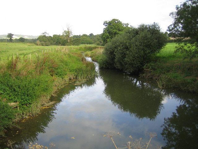
Alder Copse, located in Surrey, England, is a serene and picturesque wood that offers a refreshing escape from the hustle and bustle of urban life. This enchanting forest is home to a diverse range of flora and fauna, making it a haven for nature enthusiasts and wildlife lovers alike.

Covering an area of approximately 100 acres, Alder Copse is predominantly composed of dense alder trees, which lend their name to the woodland. These tall and majestic trees form a dense canopy, creating an otherworldly atmosphere as sunlight filters through the leaves, casting dappled shadows on the forest floor.

The forest floor itself is adorned with a rich carpet of bluebells during springtime, creating a breathtaking display of vibrant hues. In addition to bluebells, the woodland boasts a plethora of wildflowers, including primroses, wood anemones, and violets, adding bursts of color to the verdant landscape.

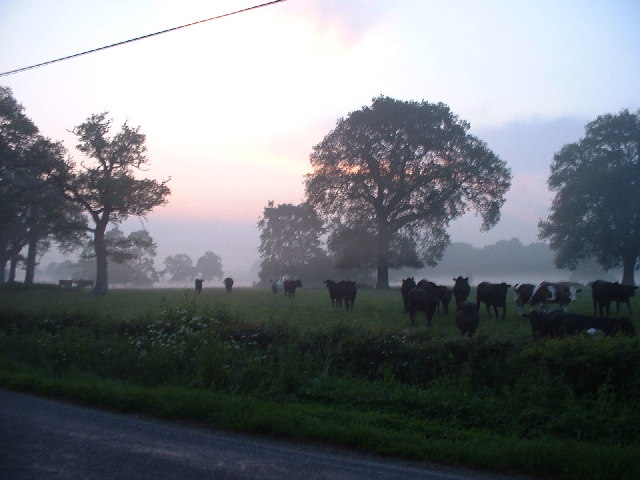
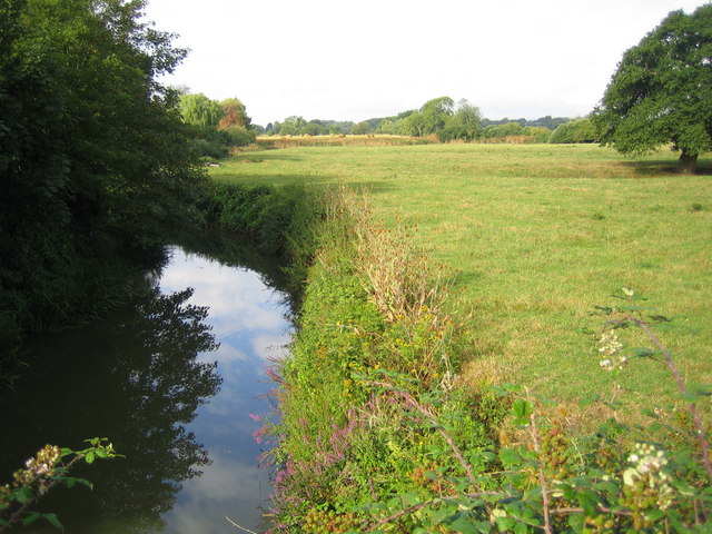
Alder Copse is also a haven for wildlife, providing a habitat for a wide variety of species. Birdwatchers can spot an array of feathered creatures, including woodpeckers, thrushes, and finches. The forest is also home to squirrels, foxes, and deer, which can often be spotted foraging amongst the undergrowth.

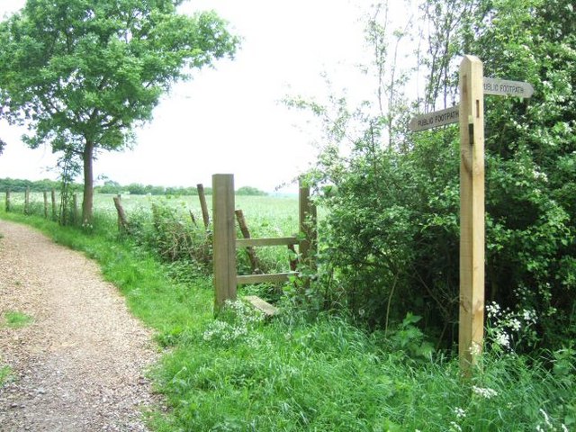
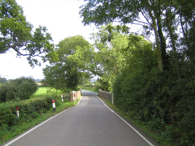
The wood offers numerous walking paths and trails, allowing visitors to explore its beauty at their own pace. The tranquil atmosphere and soothing sounds of nature make Alder Copse an ideal destination for those seeking solitude and relaxation.

Overall, Alder Copse in Surrey is a captivating woodland that captivates visitors with its serene ambiance, diverse flora and fauna, and stunning natural beauty.

If you have any feedback on the listing, please let us know in the comments section below.
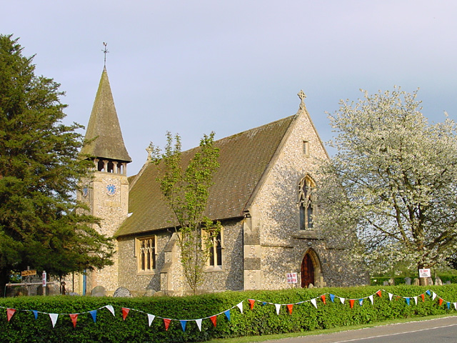
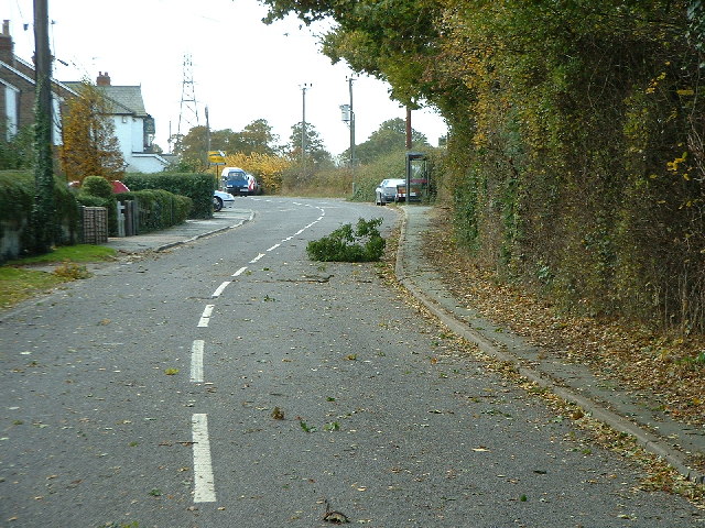
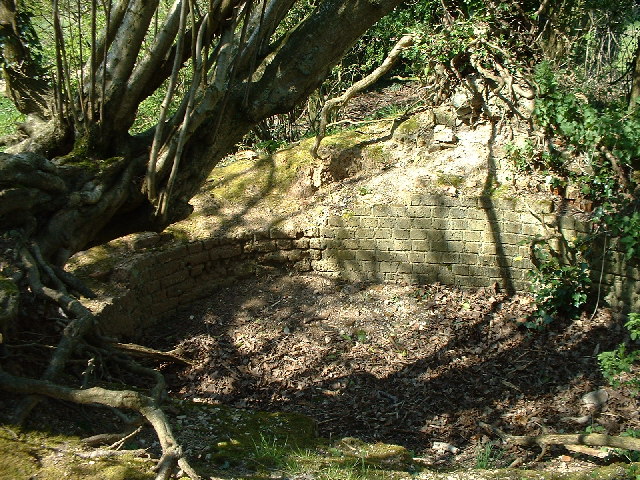
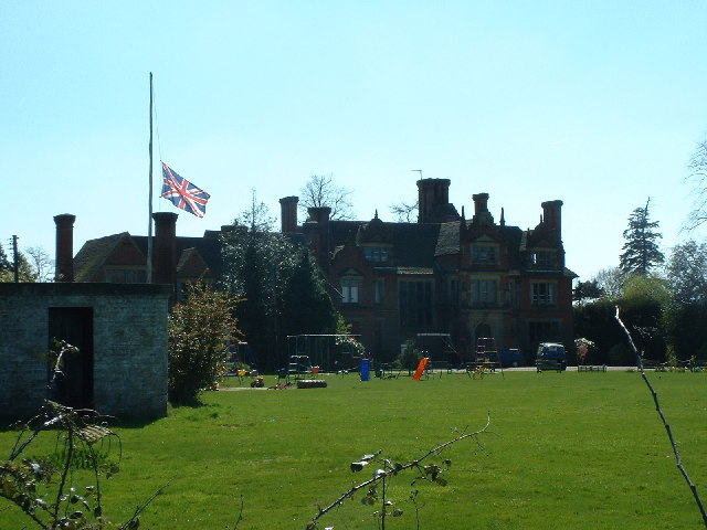
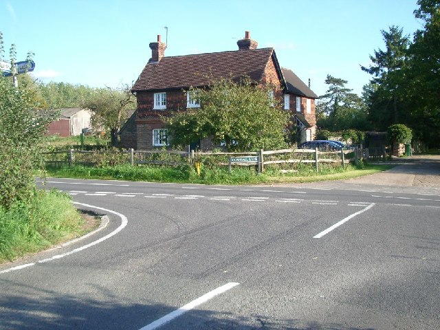
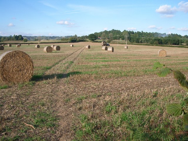
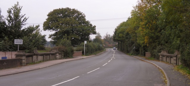
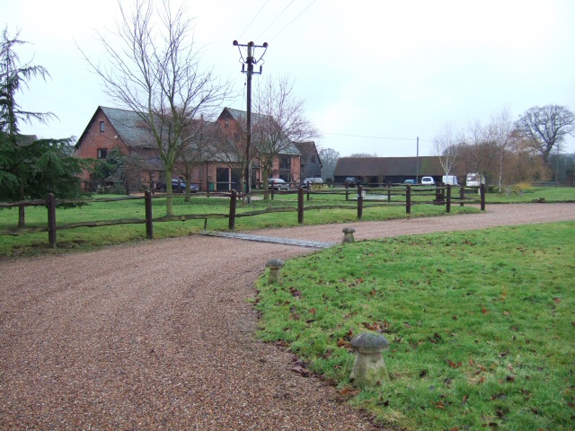
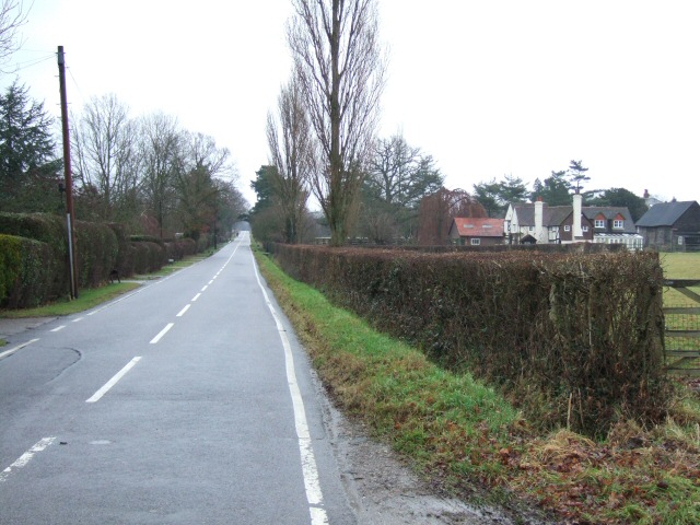
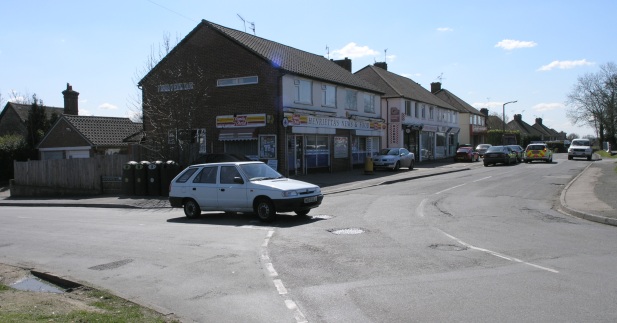
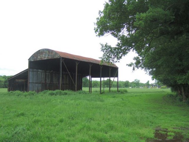
Alder Copse Images

Images are sourced within 2km of 51.206156/-0.21791635 or Grid Reference TQ2446. Thanks to Geograph Open Source API. All images are credited.

Emmanuel  Church, Sidlow Bridge Emmanuel Church designed by Henry Clutton and built in 1861. It was dedicated in 1892 and stands near the bridge over the Mole.
Emmanuel Church, Sidlow Bridge
Emmanuel Church designed by Henry Clutton and built in 1861. It was dedicated in 1892 and stands near the bridge over the Mole.
Irons Bottom following a storm
Sunrise at Irons Bottom Just before dawn - during a partial solar eclipse
Sunrise at Irons Bottom
Just before dawn - during a partial solar eclipse
Remains of a Lime Kiln near Leigh
Bury's Court School
Bury's Court School
Flanchford Farm At the junction of Flanchford Road with Clayhall Lane (looking south-east)
Flanchford Farm
At the junction of Flanchford Road with Clayhall Lane (looking south-east)
Footpath north of Clayhall Lane looking north - the line of tyre tracks across the field is clearly visible
Footpath north of Clayhall Lane
looking north - the line of tyre tracks across the field is clearly visible
Sidlow Bridge Sidlow Bridge in Sidlow, where the A217 crosses the River Mole.
Sidlow Bridge
Sidlow Bridge in Sidlow, where the A217 crosses the River Mole.
Hartswood Manor Now a collection of private houses.
Hartswood Manor
Now a collection of private houses.
Deanoak Lane Property on the right is <a href="https://www.geograph.org.uk/photo/1854443">TQ2345 : Grove Farm House</a>.
Deanoak Lane
Property on the right is TQ2345 : Grove Farm House.
Local Shops in South Park Some local shops in South Park, just south of Reigate.
Local Shops in South Park
Some local shops in South Park, just south of Reigate.
Isolated Barn Magpie Wood is on the right; the building in the distance is Wolvers
Isolated Barn
Magpie Wood is on the right; the building in the distance is Wolvers
Footpath Crossing On the way from the A217 to Magpie Wood and Wolvers.
Footpath Crossing
On the way from the A217 to Magpie Wood and Wolvers.
Sidlow Bridge: Emmanuel Church The east facade with three finial crosses on the roof ridges, this is the opposite view to John's <a href="https://www.geograph.org.uk/photo/6365">TQ2546 : Emmanuel  Church, Sidlow Bridge</a> . The Church's website is here <span class="nowrap"><a title="http://www.emmanuelchurchsidlow.co.uk/" rel="nofollow ugc noopener" href="http://www.emmanuelchurchsidlow.co.uk/">Link</a><img style="margin-left:2px;" alt="External link" title="External link - shift click to open in new window" src="https://s1.geograph.org.uk/img/external.png" width="10" height="10"/></span>
Sidlow Bridge: Emmanuel Church
The east facade with three finial crosses on the roof ridges, this is the opposite view to John's TQ2546 : Emmanuel Church, Sidlow Bridge . The Church's website is here LinkExternal link
River Mole from Sidlow Bridge Looking downstream.
River Mole from Sidlow Bridge
Looking downstream.
Flanchford Watermill Under partial restoration
Flanchford Watermill
Under partial restoration
River Mole from Flanchford Bridge Looking downstream.
River Mole from Flanchford Bridge
Looking downstream.
Leigh: Flanchford Bridge This narrow bridge takes Flanchford Road over the River Mole. A view of the River Mole from the bridge, but in the adjacent grid square, is here <a href="https://www.geograph.org.uk/photo/244970">TQ2348 : River Mole from Flanchford Bridge</a>
Leigh: Flanchford Bridge
This narrow bridge takes Flanchford Road over the River Mole. A view of the River Mole from the bridge, but in the adjacent grid square, is here TQ2348 : River Mole from Flanchford Bridge
Show me another place!

Alder Copse is located at Grid Ref: TQ2446 (Lat: 51.206156, Lng: -0.21791635)

Administrative County: Surrey

District: Reigate and Banstead

Police Authority: Surrey

What 3 Words

///cotton.hoping.flags. Near Reigate, Surrey

Related Wikis

Moon Hall School

Moon Hall School, since 1952 an independent co-educational preparatory school at Leigh, near Reigate in Surrey, is currently, as of 2021, a special school...

Sidlow

Sidlow is a mainly rural, lightly populated village in the parish of Salfords and Sidlow, in the south of the borough of Reigate and Banstead in Surrey...

Reigate Hundred

Reigate was a hundred in what is now Surrey, England. It was geographically consonant with the southern two thirds of Borough of Reigate and Banstead together...

South Park F.C.

South Park Reigate Football Club are an English football club based in Reigate, Surrey. The club is affiliated to the Surrey County Football Association...

Salfords and Sidlow

Salfords and Sidlow is a civil parish in the Reigate and Banstead borough of Surrey, England. It has a population of 3,069. The parish includes the villages...

Reigate School

Reigate School is an 11–16 mixed secondary school with academy status in Reigate, Surrey, England. It has been a part of the Greensand Multi-Academy Trust...

Woodhatch Place, Reigate

Woodhatch Place is a large office building on Cockshot Hill, Reigate, Surrey, England, which serves as the headquarters of Surrey County Council. The main...

Leigh, Surrey

Leigh is a village and civil parish in Surrey, between Reigate, Dorking and Charlwood in the east of Mole Valley district. The village centre is suburban...

Nearby Amenities

Located within 500m of 51.206156,-0.21791635
Power: tower
Lat/Long: 51.2018153/-0.2178609
Barrier: stile
Lat/Long: 51.2035393/-0.2201482
Power: pole
Lat/Long: 51.2018027/-0.217126
Power: pole
Lat/Long: 51.201801/-0.2168497
Barrier: stile
Lat/Long: 51.20604/-0.2241343
Barrier: stile
Lat/Long: 51.2034442/-0.2231307
Barrier: stile
Lat/Long: 51.2034446/-0.2231531
Power: pole
Source: survey
Lat/Long: 51.2033695/-0.2162343
Power: pole
Source: survey
Lat/Long: 51.2038602/-0.2154994
Power: pole
Source: survey
Lat/Long: 51.2052231/-0.213646
Man Made: tower
Tower Type: communication
Lat/Long: 51.202469/-0.2178939
Power: pole
Lat/Long: 51.2034065/-0.2163309
Power: pole
Lat/Long: 51.2039005/-0.2155852
Power: pole
Lat/Long: 51.2052349/-0.2137345
Power: pole
Lat/Long: 51.206107/-0.2127421
Power: pole
Lat/Long: 51.2066532/-0.2110872
Power: pole
Lat/Long: 51.2065977/-0.2110228
Power: pole
Lat/Long: 51.2060583/-0.2126563
Power: pole
Lat/Long: 51.209861/-0.2207351
Power: pole
Lat/Long: 51.2099753/-0.2209041
Power: pole
Lat/Long: 51.2086428/-0.2205688
Power: pole
Lat/Long: 51.206954/-0.2196702
Power: pole
Lat/Long: 51.2062011/-0.2192545
Power: pole
Lat/Long: 51.2086596/-0.2204347
Power: pole
Lat/Long: 51.2070044/-0.2195308
Power: pole
Lat/Long: 51.2060869/-0.2190211
Bures Manor
Place: isolated_dwelling
Lat/Long: 51.2069397/-0.2245591
The data included in this document is from www.openstreetmap.org. The data is made available under ODbL.

Have you been to Alder Copse?

Leave your review of Alder Copse below (or comments, questions and feedback).