The Beeches

Wood, Forest in Hertfordshire North Hertfordshire

England

The Beeches

Edge of Stevenage Taken from TL 237 268 looking towards Lister Hospital in the distance
Edge of Stevenage Credit: Paul Dixon

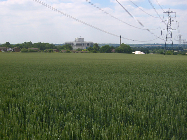
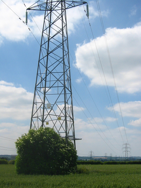
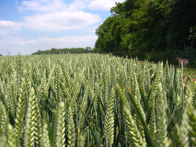
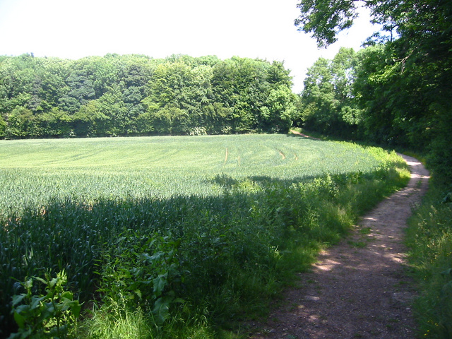
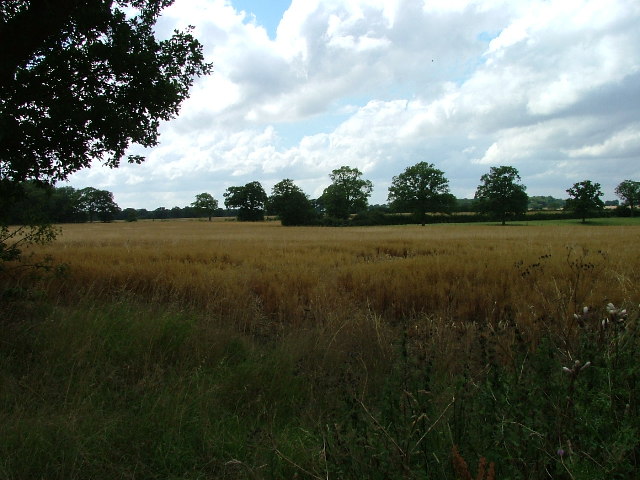
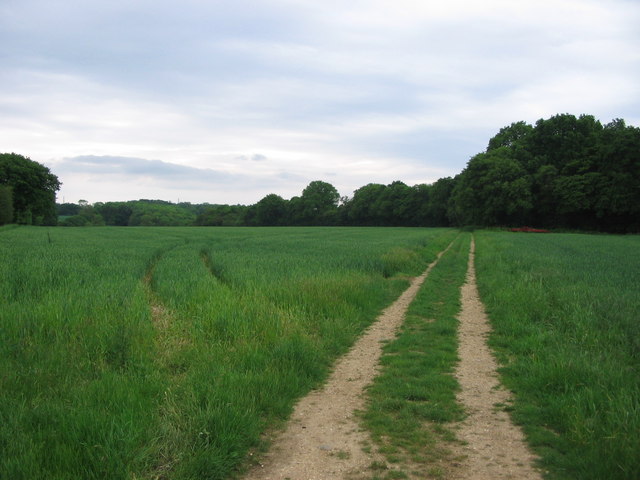
The Beeches is a serene and picturesque woodland located in Hertfordshire, England. It is a part of the larger forest area of Hertfordshire, known for its stunning natural beauty and diverse ecosystem. The Beeches is particularly renowned for its ancient and majestic beech trees that dominate the landscape.

Covering an expansive area, The Beeches offers visitors a tranquil and peaceful retreat from the hustle and bustle of everyday life. The towering beech trees create a dense canopy, casting cool shadows and providing a habitat for a variety of wildlife. The forest floor is adorned with a carpet of fallen leaves, creating a vibrant and colorful display during the autumn months.

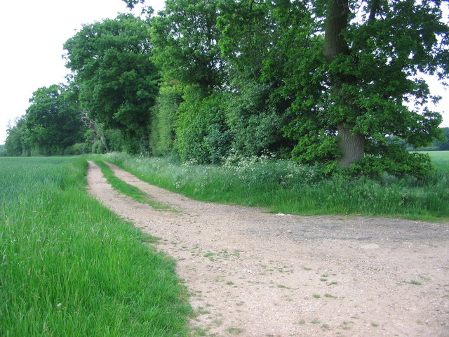
The Beeches is a popular destination for nature enthusiasts and hikers alike. The forest boasts a network of well-maintained trails, allowing visitors to explore its enchanting beauty. These trails offer a range of difficulty levels, catering to all ages and fitness levels. Along the way, visitors may encounter a rich array of flora and fauna, including wildflowers, squirrels, foxes, and a myriad of bird species.

The Beeches is not only a haven for nature lovers, but also a valuable ecological habitat. The forest provides a crucial home for numerous plant and animal species, contributing to the biodiversity of the region. Efforts are made to preserve and protect The Beeches, ensuring its sustainability for future generations to enjoy.

In conclusion, The Beeches in Hertfordshire is a captivating woodland that showcases the beauty of nature. With its towering beech trees, well-maintained trails, and diverse wildlife, it offers visitors an opportunity to immerse themselves in the tranquility of the natural world.

If you have any feedback on the listing, please let us know in the comments section below.
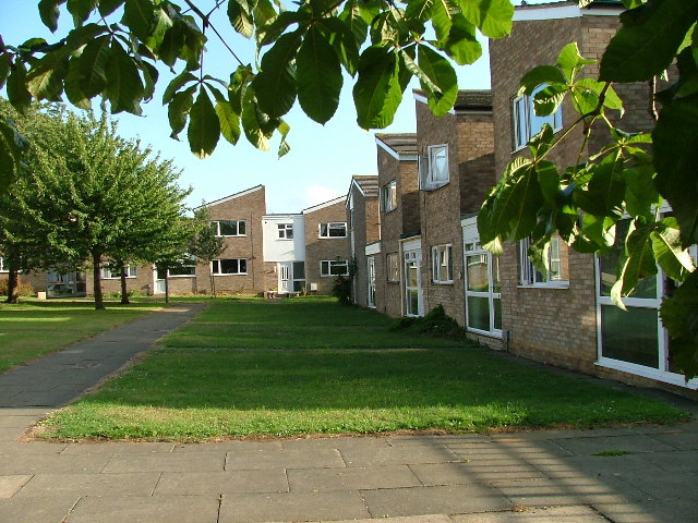
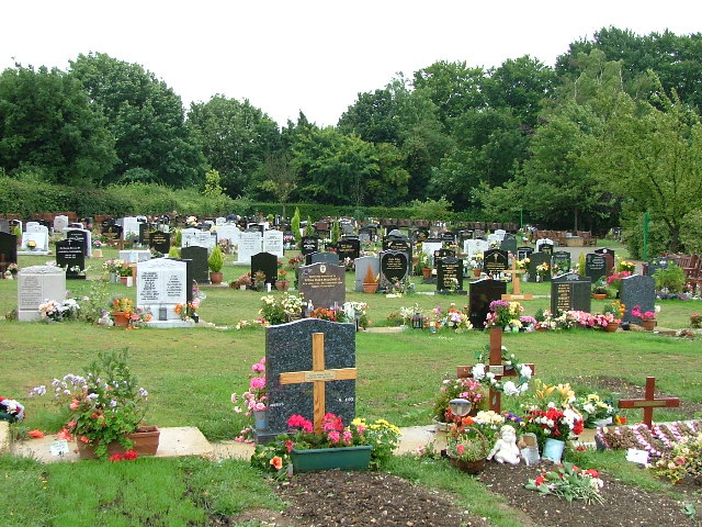
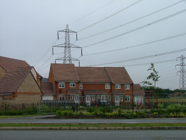
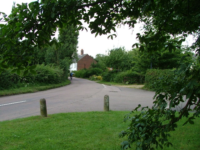
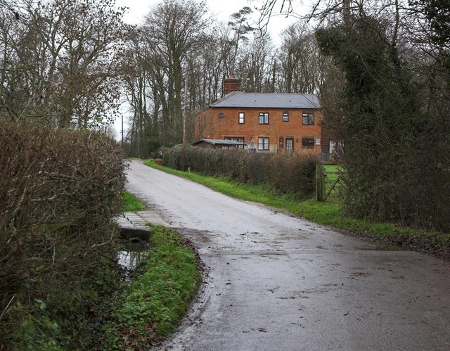
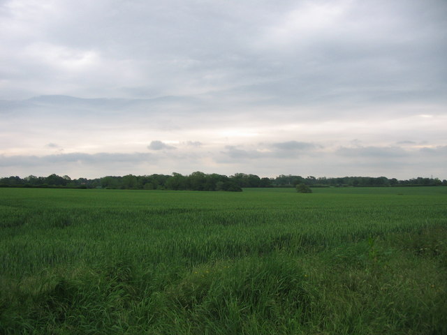
The Beeches Images

Images are sourced within 2km of 51.938924/-0.1890841 or Grid Reference TL2428. Thanks to Geograph Open Source API. All images are credited.

Edge of Stevenage Taken from TL 237 268 looking towards Lister Hospital in the distance
Edge of Stevenage
Taken from TL 237 268 looking towards Lister Hospital in the distance
Graveley Pylons Taken from TL 239 270 between Graveley and Stevenage, this line of pylons is running towards Hitchin, although the one in the foreground seems to morphing into a tree!
Graveley Pylons
Taken from TL 239 270 between Graveley and Stevenage, this line of pylons is running towards Hitchin, although the one in the foreground seems to morphing into a tree!
Ten Acre Plantation, Graveley Taken from  TL 241 275 looking NE, you can sometimes see deer hopping through the wheat!
Ten Acre Plantation, Graveley
Taken from TL 241 275 looking NE, you can sometimes see deer hopping through the wheat!
Stonesley and Harbourclose Woods, near Graveley Stonesley wood is in the distance, with Harbourclose Wood to the right
Stonesley and Harbourclose Woods, near Graveley
Stonesley wood is in the distance, with Harbourclose Wood to the right
Mildmay Road. These houses were built in a variety of styles.  These are not untypical but some of the architectural styles bring their own maintenance problems.
Mildmay Road.
These houses were built in a variety of styles. These are not untypical but some of the architectural styles bring their own maintenance problems.
Weston Rd Cemetery Although Weston Rd Cemetery takes up a relatively small portion of this square, Stevenage has lots and lots of houses but only two cemeteries.
Weston Rd Cemetery
Although Weston Rd Cemetery takes up a relatively small portion of this square, Stevenage has lots and lots of houses but only two cemeteries.
Great Ashby Estate. This development started about three years ago and is still being built.  The empty space to the right will be built on sooner or later.  The pylons are of course part of the National Grid.  Why on earth are we building houses under these lines?
Great Ashby Estate.
This development started about three years ago and is still being built. The empty space to the right will be built on sooner or later. The pylons are of course part of the National Grid. Why on earth are we building houses under these lines?
St Mary's Church, Gravely Behind this church is Stevenage International Airport (actually a grass airstrip in a field used by microlights).
St Mary's Church, Gravely
Behind this church is Stevenage International Airport (actually a grass airstrip in a field used by microlights).
Chessfield downs golf course. Actually this is a nice little par 3 course with well looked after greens.  It runs alongside the larger 18 hole course.  On this particular day the bunkers were filling up with water.  A double hazard so far as I am concerned.
Chessfield downs golf course.
Actually this is a nice little par 3 course with well looked after greens. It runs alongside the larger 18 hole course. On this particular day the bunkers were filling up with water. A double hazard so far as I am concerned.
Damask Green A lovely spot.
Damask Green
A lovely spot.
Fields opposite Tile Kiln Farm Typical farmland in this area.
Fields opposite Tile Kiln Farm
Typical farmland in this area.
Footpath across field. The photo "Edge of Stevenage" for this square would have been taken from just beyond the first pylon.
Footpath across field.
The photo "Edge of Stevenage" for this square would have been taken from just beyond the first pylon.
Footpath crossroads. Just here, helpfully labelled with local destinations.
Footpath crossroads.
Just here, helpfully labelled with local destinations.
Cottages at Warren's Green Warrens Green is made up of 4 or 5 cottages. This is an example.
Cottages at Warren's Green
Warrens Green is made up of 4 or 5 cottages. This is an example.
Great  Ashby, Stevenage Great Ashby is a very new (and still expanding) area of new housing development on the Eastern boundary of Stevenage.

The houses shown are typical of the area
Great Ashby, Stevenage
Great Ashby is a very new (and still expanding) area of new housing development on the Eastern boundary of Stevenage. The houses shown are typical of the area
Bridlepath Junction near How Wood looking NNW Not the centre of the square but it would seem that it would be a favourite spot.
Bridlepath Junction near How Wood looking NNW
Not the centre of the square but it would seem that it would be a favourite spot.
Bridlepath Junction near How Wood looking ENE (outside square) Not in the centre but it would seem to be a favourite place. This shot is looking outside the square instead.
Bridlepath Junction near How Wood looking ENE (outside square)
Not in the centre but it would seem to be a favourite place. This shot is looking outside the square instead.
Bridlepath Junction near How Wood looking SSW Not the centre but thought to be a favourite spot.
Bridlepath Junction near How Wood looking SSW
Not the centre but thought to be a favourite spot.
Show me another place!

The Beeches is located at Grid Ref: TL2428 (Lat: 51.938924, Lng: -0.1890841)

Administrative County: Hertfordshire

District: North Hertfordshire

Police Authority: Hertfordshire

What 3 Words

///scuba.bells.novel. Near Stevenage, Hertfordshire

Related Wikis

The Traveller Movement

The Traveller Movement (TM) is a charity based in the United Kingdom that supports the Gypsy, Roma and Traveller (GRT) community and challenge discrimination...

Graveley, Hertfordshire

Graveley is a village and civil parish about four miles east of Hitchin and two miles north of Stevenage in Hertfordshire, England. The population of the...

Rooks Nest House

Rooks Nest House is a house on Weston Road, Stevenage, Hertfordshire. It was the childhood home of the author E. M. Forster (1879–1970) who described it...

Great Ashby

Great Ashby is a civil parish in Stevenage in the North Hertfordshire district, in the county of Hertfordshire, England. The name Great Ashby was coined...

St Nicholas' Church, Stevenage

St Nicholas' Church is an Anglican parish church in Stevenage, a town in Hertfordshire, England. It occupies a hilltop site above Old Stevenage. It is...

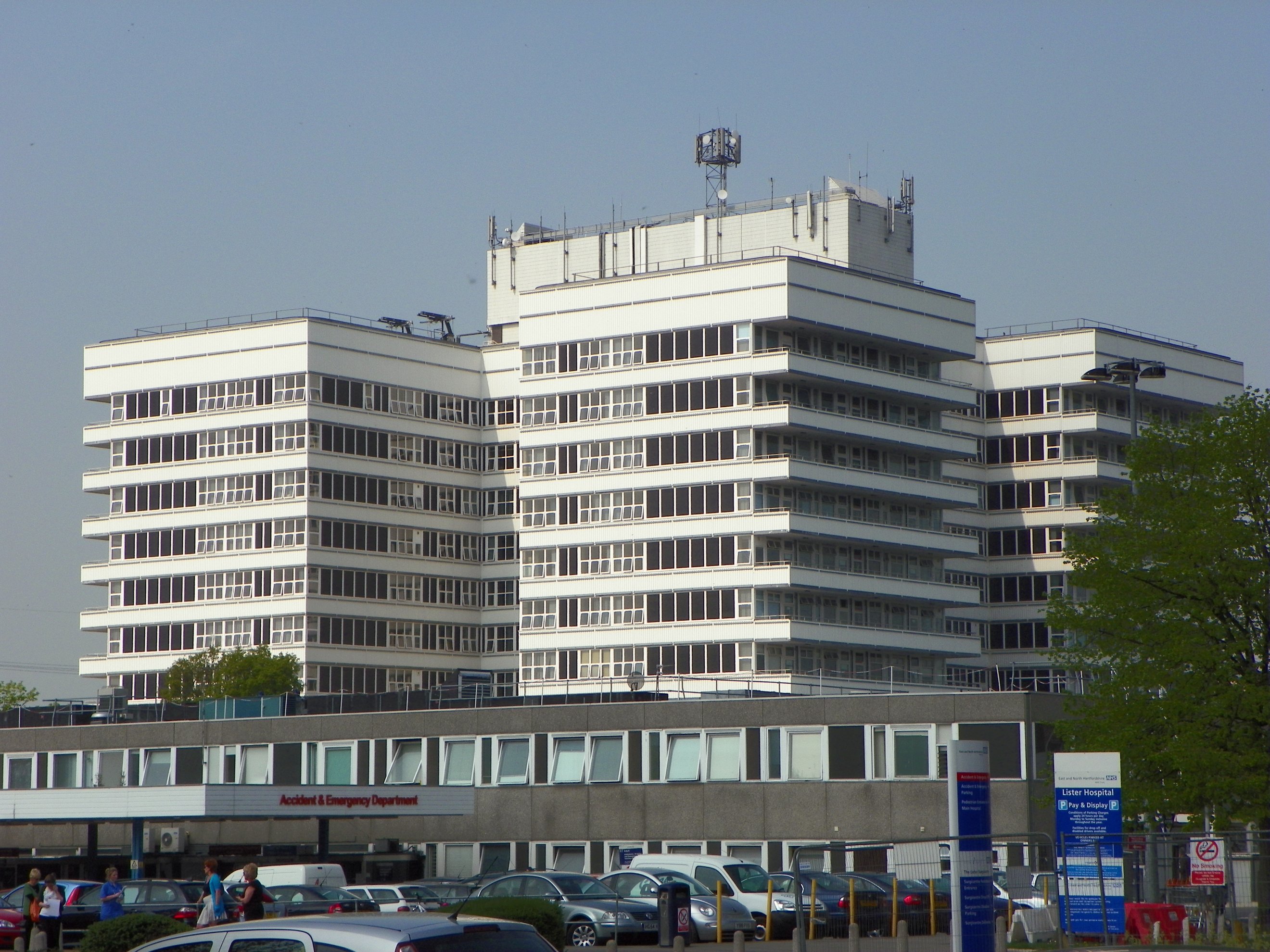
Lister Hospital, Stevenage

The Lister Hospital is an NHS hospital based on the outskirts of Stevenage in Hertfordshire. It is operated by the East and North Hertfordshire NHS Trust...

Weston, Hertfordshire

Weston is a village and civil parish in the North Hertfordshire district of Hertfordshire, England. It is located around 4 miles north of Stevenage, 2...

Lannock Mill, Weston

Lannock Mill is a Grade II listed tower mill at Weston, Hertfordshire, England which is derelict. == History == Lannock Mill was built in 1860. A windmill...

Nearby Amenities

Located within 500m of 51.938924,-0.1890841
Material: wood
Power: pole
Lat/Long: 51.940289/-0.1941211
Material: wood
Power: pole
Lat/Long: 51.9397377/-0.1930708
Material: wood
Power: pole
Lat/Long: 51.9387919/-0.1913434
Material: wood
Power: pole
Lat/Long: 51.9393288/-0.1923241
Barrier: kissing_gate
Foot: yes
Source: GPS, observation
Lat/Long: 51.9357856/-0.1865572
The data included in this document is from www.openstreetmap.org. The data is made available under ODbL.

Have you been to The Beeches?

Leave your review of The Beeches below (or comments, questions and feedback).