Bullby Hill
Hill, Mountain in Huntingdonshire Huntingdonshire
England
Bullby Hill
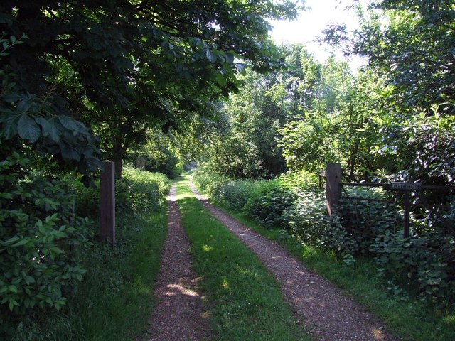
Bullby Hill is a prominent geographical feature located in the county of Huntingdonshire, England. Situated within the Cambridgeshire Fens, this hill stands at an elevation of approximately 100 meters, making it a noteworthy landmark in the otherwise flat landscape of the region. Despite its modest height, Bullby Hill is a popular destination for outdoor enthusiasts and nature lovers.
The hill offers stunning panoramic views of the surrounding countryside, providing visitors with a unique perspective of the gently rolling terrain and vast expanses of farmland that characterize the area. The grassy slopes of Bullby Hill are often adorned with colorful wildflowers, creating a picturesque landscape during the spring and summer months.
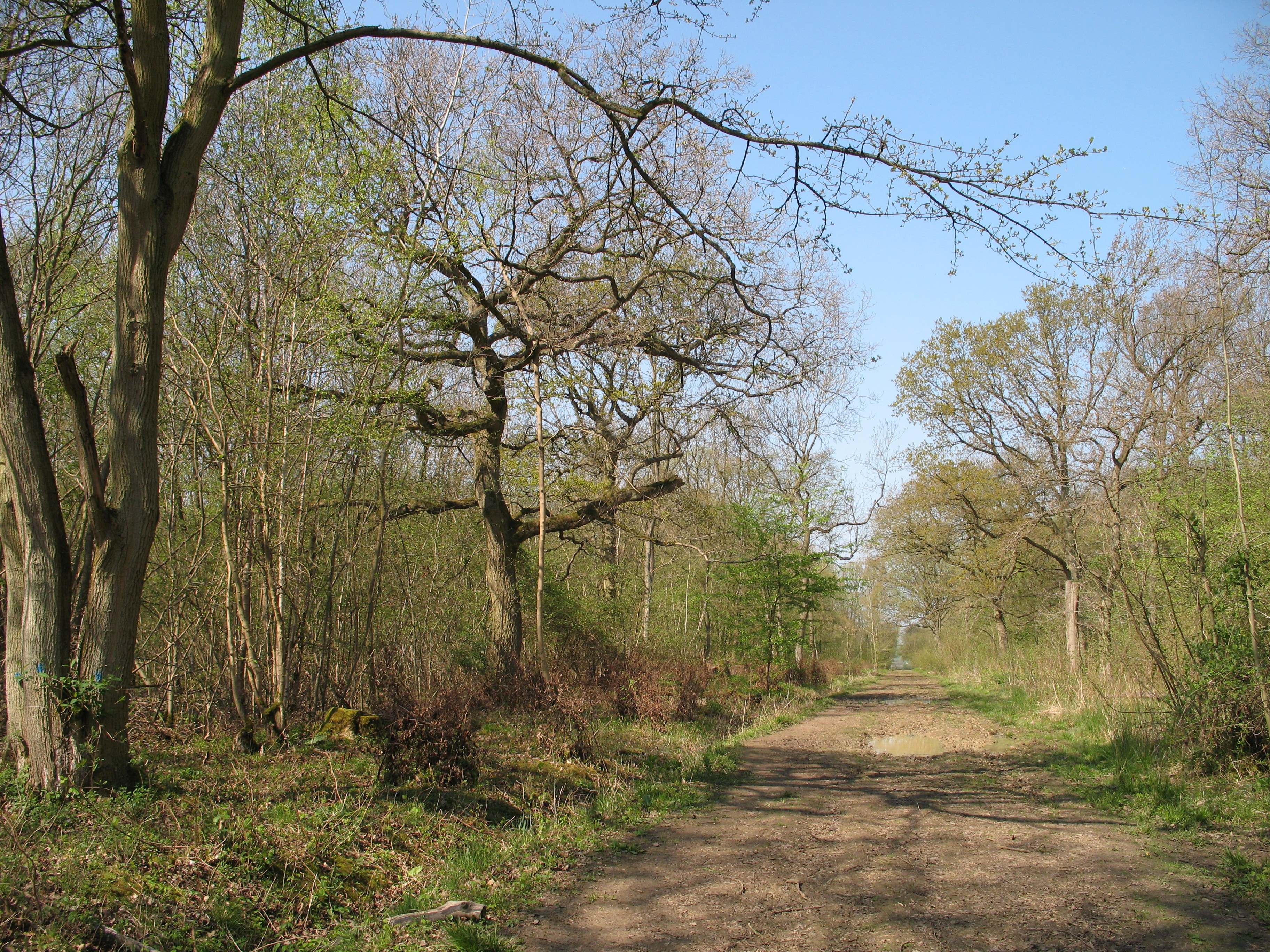
The hill also boasts a diverse range of flora and fauna, making it an important ecological site. It provides a habitat for various bird species, including skylarks and kestrels, which can often be seen soaring above the hill. Additionally, the surrounding woodlands and hedgerows offer shelter to a variety of small mammals and insects.
Bullby Hill is easily accessible, with several footpaths leading to its summit. These well-maintained trails allow visitors to explore the area and take in the breathtaking scenery at their own pace. The hill is a popular spot for walking, hiking, and picnicking, attracting both locals and tourists alike.
In conclusion, Bullby Hill is a notable hill in Huntingdonshire, offering visitors a chance to appreciate the natural beauty of the Cambridgeshire Fens. Its elevated position provides stunning views of the surrounding countryside, while its diverse ecosystem adds to its charm. Whether for leisurely walks or nature observation, Bullby Hill is a must-visit destination for those seeking a tranquil escape in the heart of England.
If you have any feedback on the listing, please let us know in the comments section below.
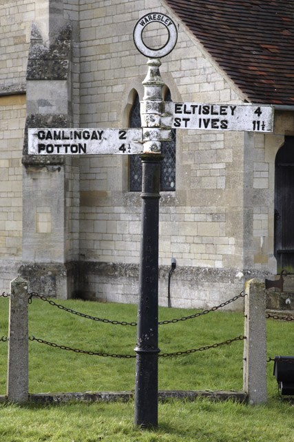
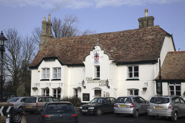
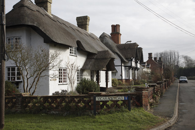
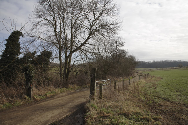
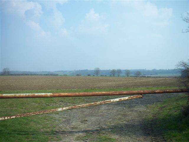
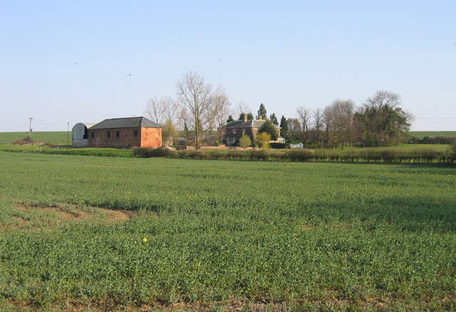
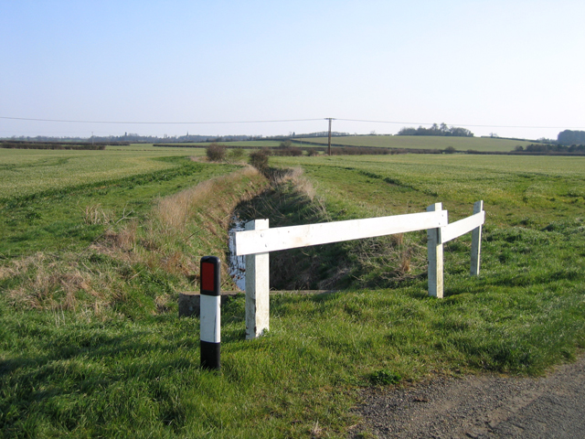
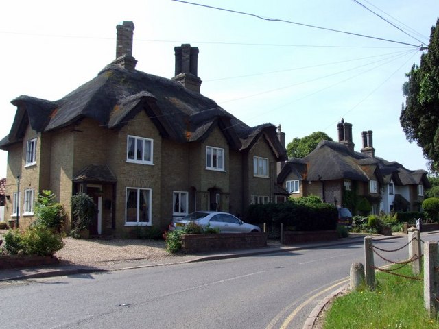
Bullby Hill Images
Images are sourced within 2km of 52.184055/-0.18551952 or Grid Reference TL2455. Thanks to Geograph Open Source API. All images are credited.

Bullby Hill is located at Grid Ref: TL2455 (Lat: 52.184055, Lng: -0.18551952)
Administrative County: Cambridgeshire
District: Huntingdonshire
Police Authority: Cambridgeshire
Also known as: Lily Hill
What 3 Words
///spinning.modes.concluded. Near Great Gransden, Cambridgeshire
Nearby Locations
Related Wikis

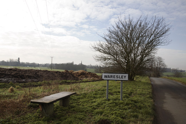
Waresley
Waresley is a village and former civil parish, now in the parish of Waresley-cum-Tetworth, in Cambridgeshire, England. Waresley lies approximately 11 miles...

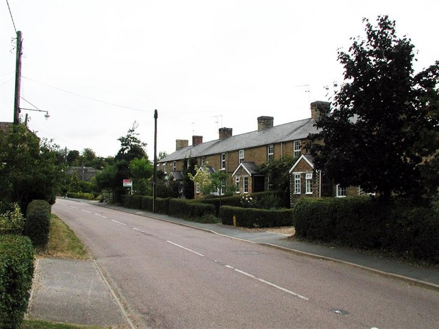
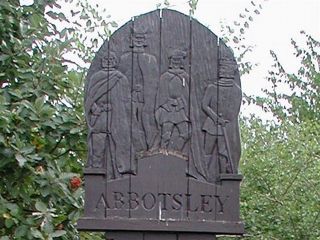
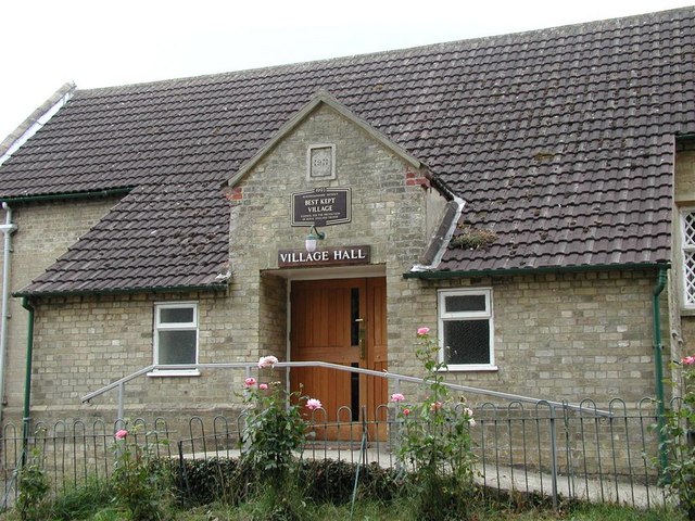
Abbotsley
Abbotsley is a village and civil parish within the Huntingdonshire district of Cambridgeshire, England. It is three miles from St Neots and 14 miles from...

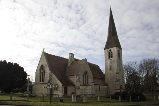
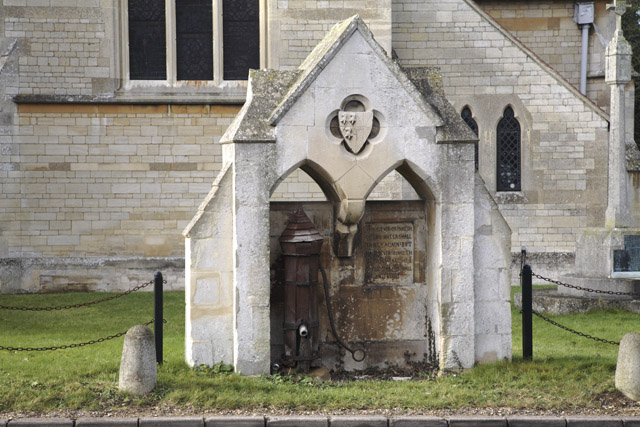
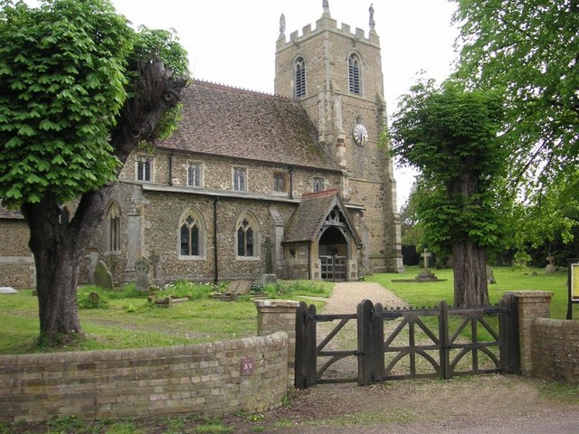
St Margaret's Church, Abbotsley
St Margaret's Church is a historic Anglican church in the village of Abbotsley, Cambridgeshire, England. It is recorded in the National Heritage List...

Gamlingay Wood
Gamlingay Wood is a 48.4-hectare (120-acre) biological Site of Special Scientific Interest (SSSI) north of Gamlingay in Cambridgeshire. It is managed by...
Waresley and Gransden Woods
Waresley and Gransden Woods is a 50-hectare (120-acre) nature reserve between Waresley and Great Gransden in Cambridgeshire, England. It is managed by...

Weaveley and Sand Woods
Weaveley and Sand Woods is a 62.0-hectare (153-acre) biological Site of Special Scientific Interest north of Gamlingay in Cambridgeshire.This site has...

Little Gransden Airfield
Little Gransden Airfield (ICAO: EGMJ) is an unlicensed airfield located near the village of Little Gransden, 5 NM (9.3 km; 5.8 mi) southeast of St Neots...

Great Gransden
Great Gransden is a civil parish and village in the Huntingdonshire district of Cambridgeshire, England. In 2001, the parish population was 969, which...
Nearby Amenities
Located within 500m of 52.184055,-0.18551952Have you been to Bullby Hill?
Leave your review of Bullby Hill below (or comments, questions and feedback).