Bullby Hill Plantation
Wood, Forest in Huntingdonshire Huntingdonshire
England
Bullby Hill Plantation
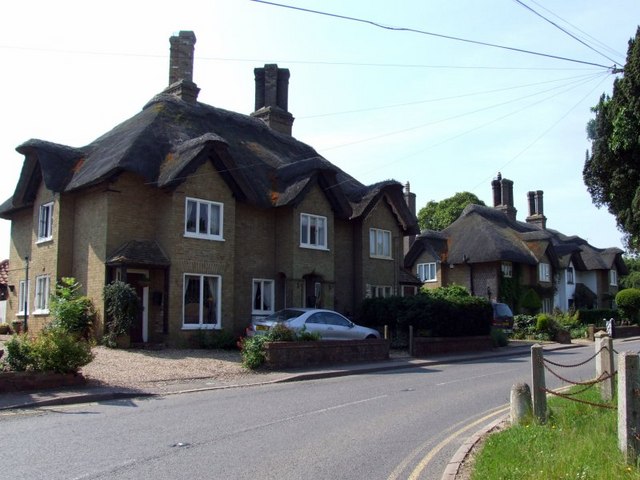
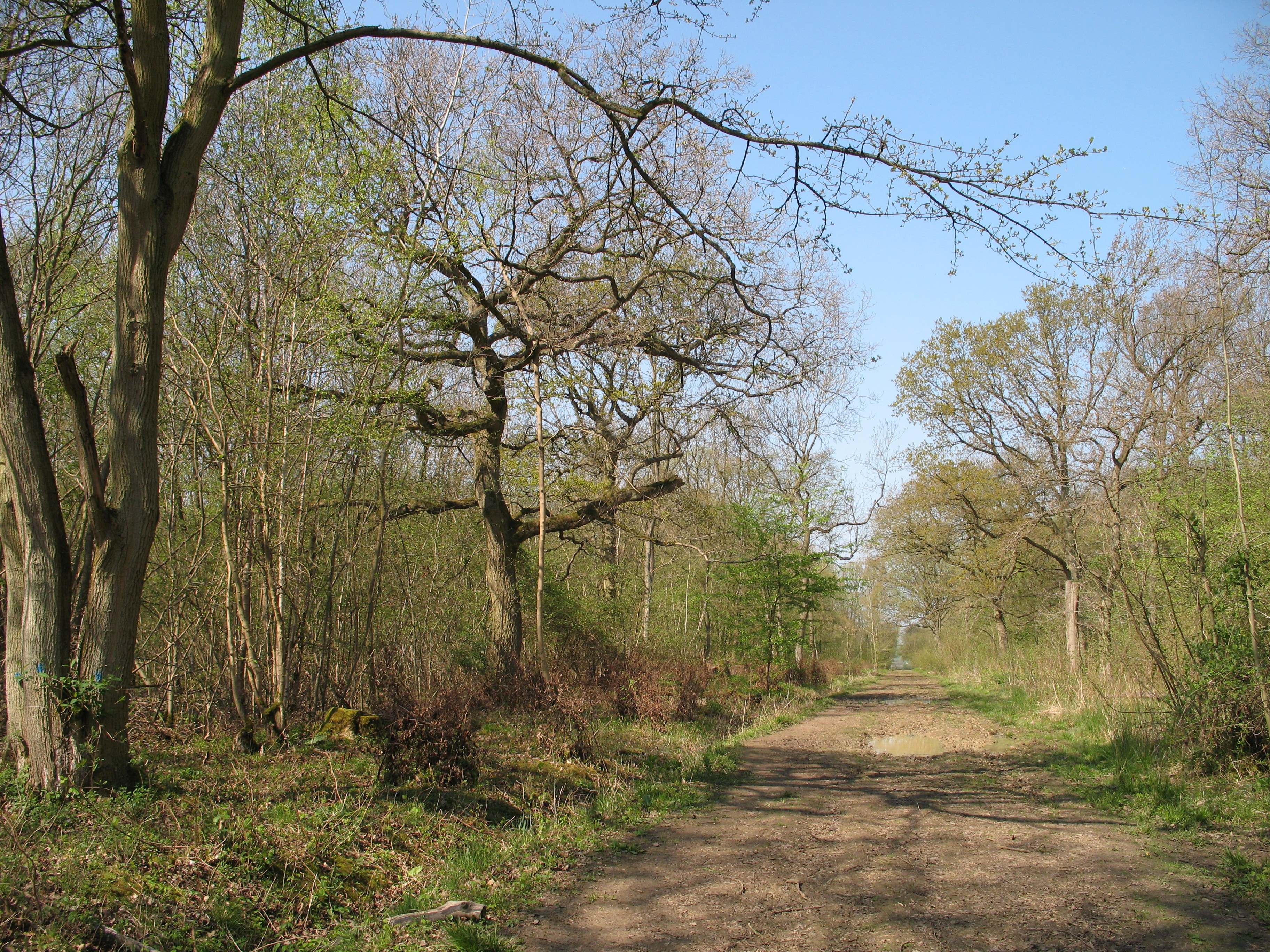
Bullby Hill Plantation is a picturesque woodland area located in the county of Huntingdonshire, England. Spread across an expansive area, it is situated on the outskirts of the charming village of Bullby. The plantation is known for its dense forest cover and diverse range of plant species.
The woodland is primarily composed of deciduous trees, including oak, beech, and birch, which create a stunning canopy above the forest floor. These trees provide a habitat for various wildlife species, such as deer, foxes, and numerous bird species, making it a popular spot for nature enthusiasts and birdwatchers.
Bullby Hill Plantation offers a serene and tranquil environment, making it an ideal location for outdoor activities like hiking, picnicking, and nature walks. There are several well-maintained walking trails that meander through the woods, allowing visitors to explore the natural beauty and immerse themselves in the peaceful ambiance.
The plantation is well-managed, with periodic tree thinning and maintenance work to ensure a healthy and sustainable woodland ecosystem. It is also a designated Site of Special Scientific Interest (SSSI) due to its ecological importance and contribution to the local biodiversity.
Access to Bullby Hill Plantation is free, and there are ample parking facilities available for visitors. The woodland is open to the public throughout the year, offering a chance to escape the hustle and bustle of everyday life and enjoy the tranquility of nature.
If you have any feedback on the listing, please let us know in the comments section below.
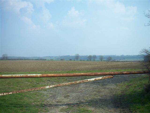
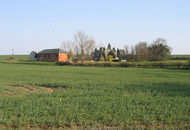
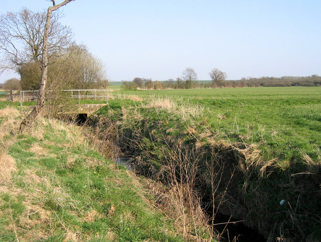
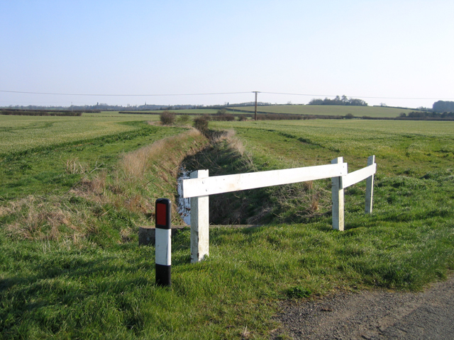
Bullby Hill Plantation Images
Images are sourced within 2km of 52.187963/-0.18476059 or Grid Reference TL2455. Thanks to Geograph Open Source API. All images are credited.

Bullby Hill Plantation is located at Grid Ref: TL2455 (Lat: 52.187963, Lng: -0.18476059)
Administrative County: Cambridgeshire
District: Huntingdonshire
Police Authority: Cambridgeshire
What 3 Words
///sectors.quilt.spins. Near Great Gransden, Cambridgeshire
Nearby Locations
Related Wikis

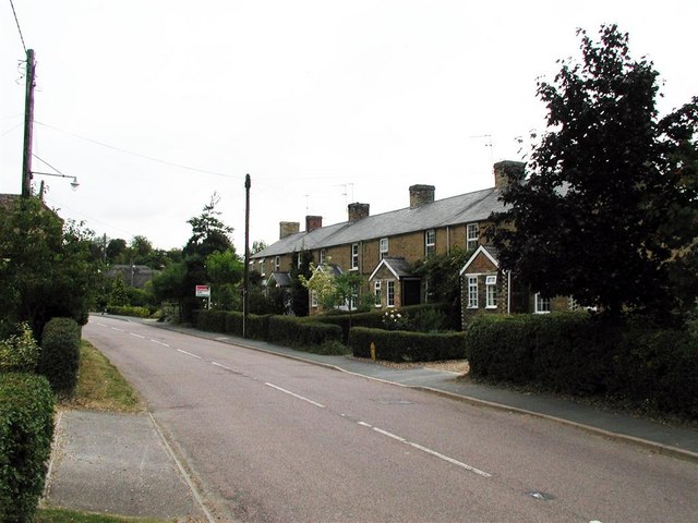
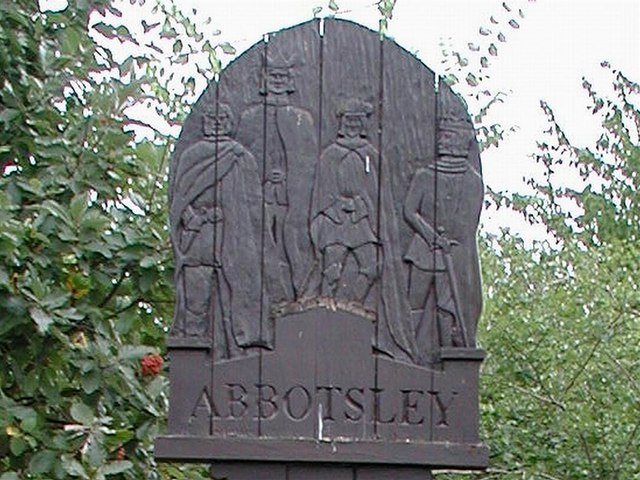
Abbotsley
Abbotsley is a village and civil parish within the Huntingdonshire district of Cambridgeshire, England. It is three miles from St Neots and 14 miles from...

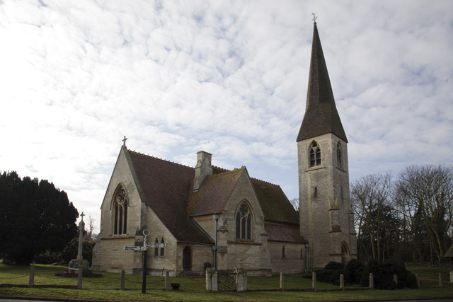
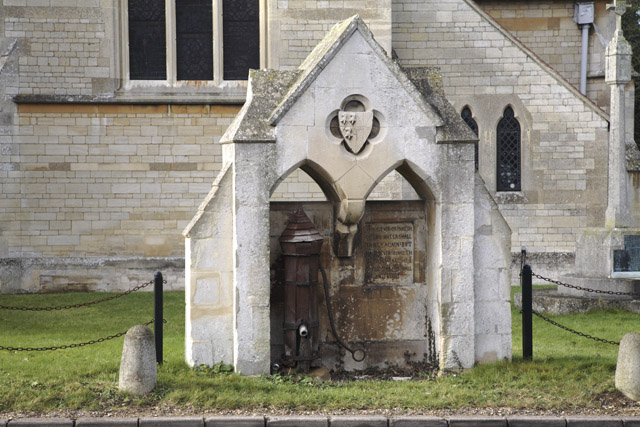
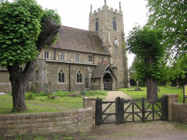
St Margaret's Church, Abbotsley
St Margaret's Church is a historic Anglican church in the village of Abbotsley, Cambridgeshire, England. It is recorded in the National Heritage List...

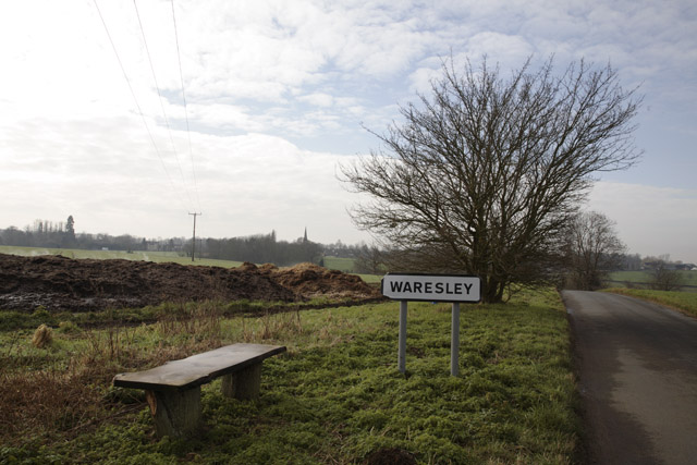
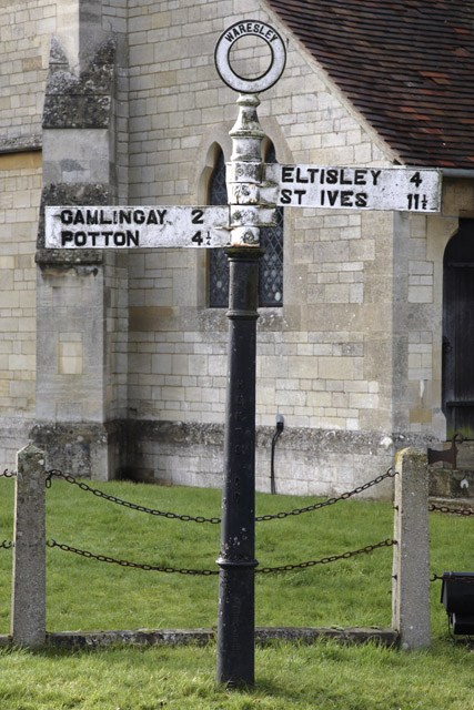
Waresley
Waresley is a village and former civil parish, now in the parish of Waresley-cum-Tetworth, in Cambridgeshire, England. Waresley lies approximately 11 miles...
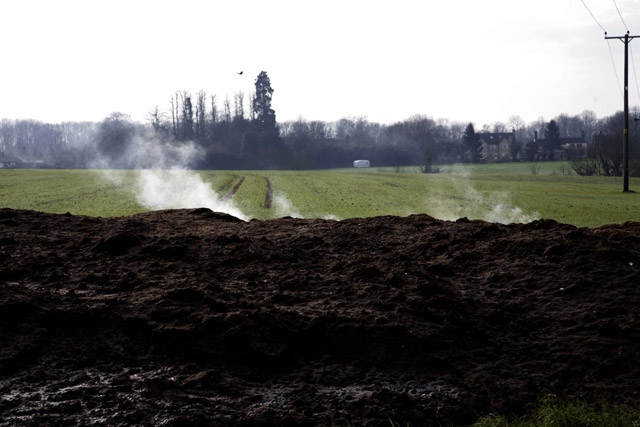
Waresley and Gransden Woods
Waresley and Gransden Woods is a 50-hectare (120-acre) nature reserve between Waresley and Great Gransden in Cambridgeshire, England. It is managed by...

Weaveley and Sand Woods
Weaveley and Sand Woods is a 62.0-hectare (153-acre) biological Site of Special Scientific Interest north of Gamlingay in Cambridgeshire.This site has...

Gamlingay Wood
Gamlingay Wood is a 48.4-hectare (120-acre) biological Site of Special Scientific Interest (SSSI) north of Gamlingay in Cambridgeshire. It is managed by...

Great Gransden
Great Gransden is a civil parish and village in the Huntingdonshire district of Cambridgeshire, England. In 2001, the parish population was 969, which...

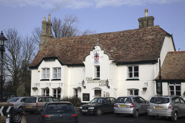
The Chequers, Little Gransden
The Chequers is a pub in Little Gransden, Cambridgeshire. It has served the village since around 1764, and although Little Gransden had four pubs at one...
Nearby Amenities
Located within 500m of 52.187963,-0.18476059Have you been to Bullby Hill Plantation?
Leave your review of Bullby Hill Plantation below (or comments, questions and feedback).