Six Acre Shaw
Wood, Forest in Sussex Mid Sussex
England
Six Acre Shaw

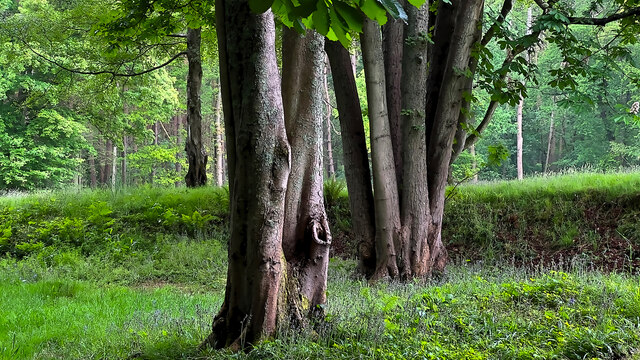
Six Acre Shaw is a small woodland area located in Sussex, England. Covering approximately six acres, it is nestled within the picturesque countryside, offering a tranquil and natural habitat for a variety of flora and fauna. The woodland is predominantly made up of deciduous trees, including oak, ash, and beech, which create a dense canopy, providing shade and shelter for the undergrowth below.
The forest floor is carpeted with a rich assortment of wildflowers, ferns, and mosses, creating a vibrant and diverse ecosystem. The woodland is also home to a wide array of wildlife, including mammals such as foxes, badgers, and deer, as well as numerous bird species, including woodpeckers, thrushes, and owls.
Six Acre Shaw is a popular destination for nature enthusiasts and walkers, offering scenic trails and paths that wind through the trees. Visitors can immerse themselves in the peaceful ambiance of the woodland, enjoying the sights and sounds of nature. The woodland is also a haven for photographers, providing ample opportunities to capture the beauty of the natural surroundings throughout the changing seasons.
Efforts have been made to preserve and maintain the ecological balance of Six Acre Shaw, with ongoing conservation work to protect its biodiversity. The woodland serves as an important green space, providing a valuable habitat for both common and rare species, contributing to the overall health and wellbeing of the local ecosystem.
If you have any feedback on the listing, please let us know in the comments section below.
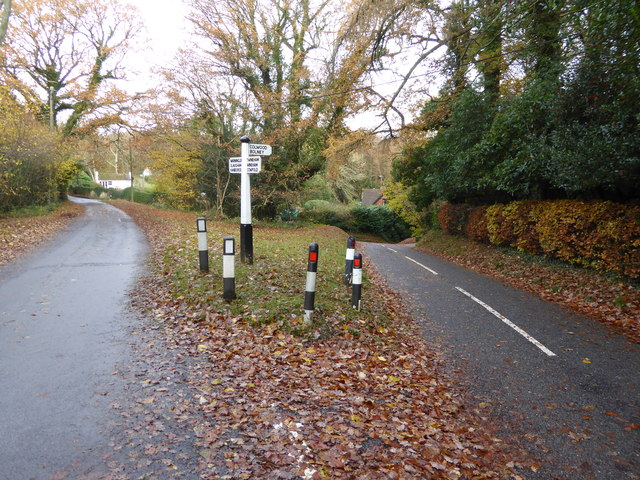
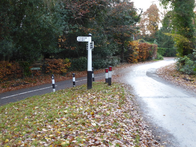
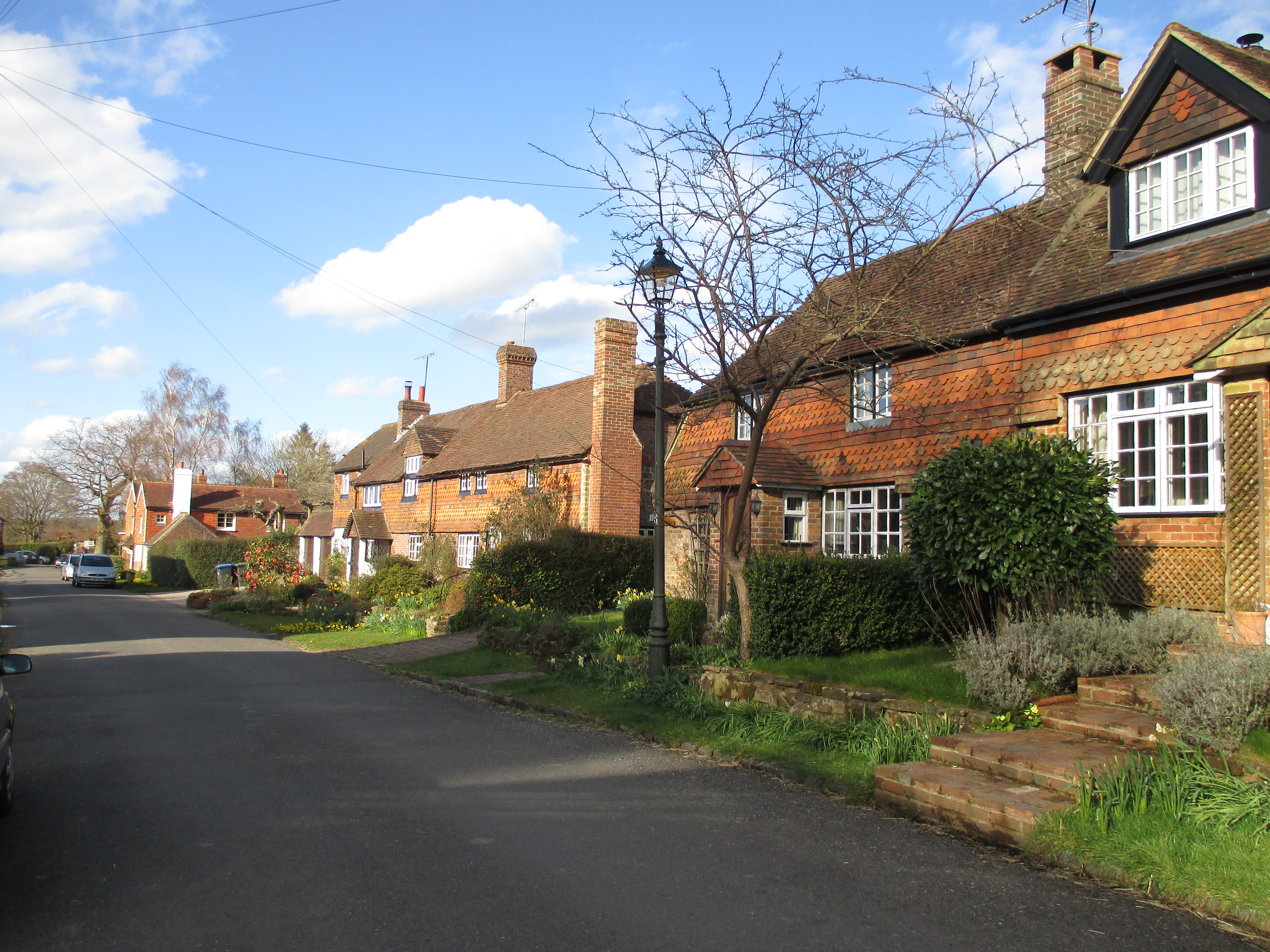
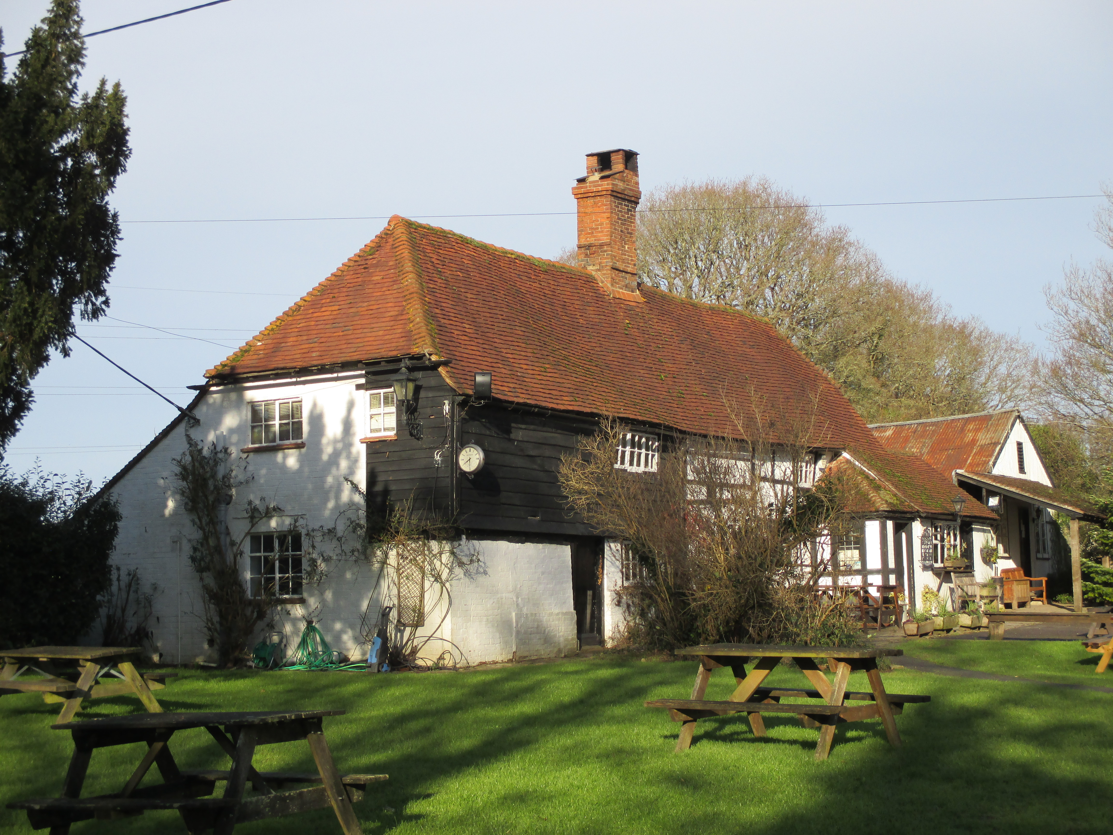
Six Acre Shaw Images
Images are sourced within 2km of 50.992245/-0.22831671 or Grid Reference TQ2422. Thanks to Geograph Open Source API. All images are credited.


Six Acre Shaw is located at Grid Ref: TQ2422 (Lat: 50.992245, Lng: -0.22831671)
Administrative County: West Sussex
District: Mid Sussex
Police Authority: Sussex
What 3 Words
///recitals.rapport.doors. Near Cowfold, West Sussex
Nearby Locations
Related Wikis

Colwood, West Sussex
Colwood is a village near Warninglid in West Sussex, England. It is the site of Colwood Manor. == References == The geographic coordinates are from the...

Bolney
Bolney is a village and civil parish in the Mid Sussex district of West Sussex, England. It lies 36 miles (58 km) south of London, 11 miles (18 km) north...
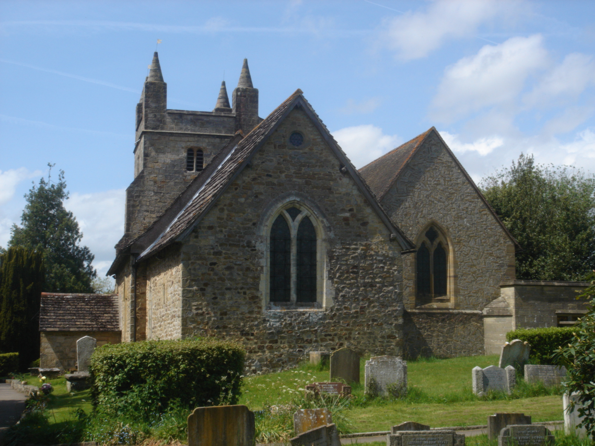
St Mary Magdalene's Church, Bolney
St Mary Magdalene's Church is an Anglican church in the village of Bolney in Mid Sussex, one of seven local government districts in the English county...

Wykehurst Place
Wykehurst Place (or Park) is a Gothic Revival mansion in Bolney, West Sussex, England, resembling more the châteaux of the Loire than an English manor...
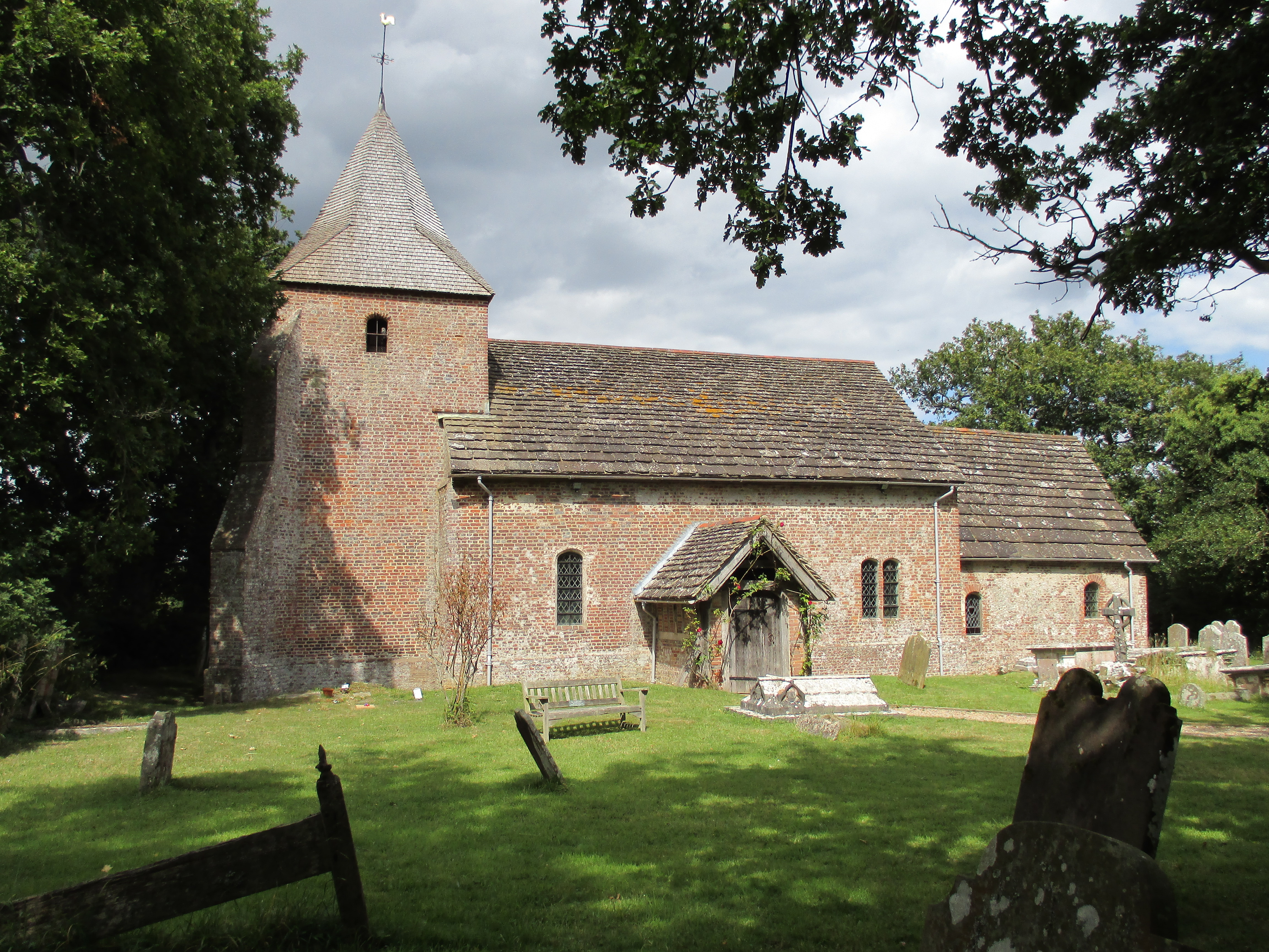
St Peter's Church, Twineham
St Peter's Church is the Church of England parish church of Twineham, a village in the Mid Sussex District of West Sussex, England. The church, with St...

Cowfold
Cowfold is a village and civil parish between Billingshurst and Haywards Heath in the Horsham District of West Sussex, England. The village is at the intersection...
Warninglid
Warninglid (historically known as Warninglyth and Warningeld) is a small village in the Mid Sussex District of West Sussex, England. It lies on the B2115...
Wineham
Wineham is a hamlet mainly in the Shermanbury civil parish (and the same ecclesiastical parish) of the Horsham district of West Sussex, England. It is...
Nearby Amenities
Located within 500m of 50.992245,-0.22831671Have you been to Six Acre Shaw?
Leave your review of Six Acre Shaw below (or comments, questions and feedback).