Bugshole Copse
Wood, Forest in Sussex Horsham
England
Bugshole Copse
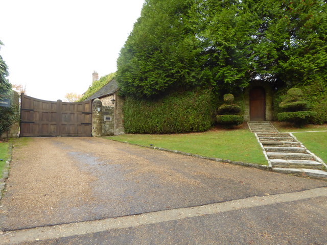
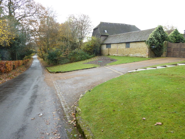
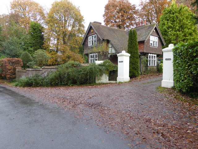
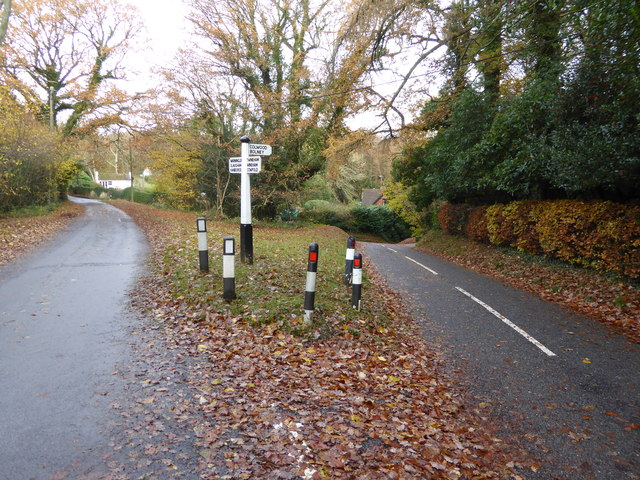
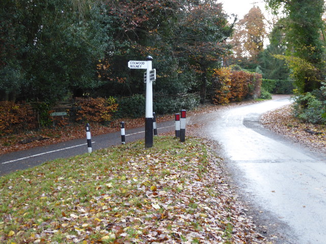
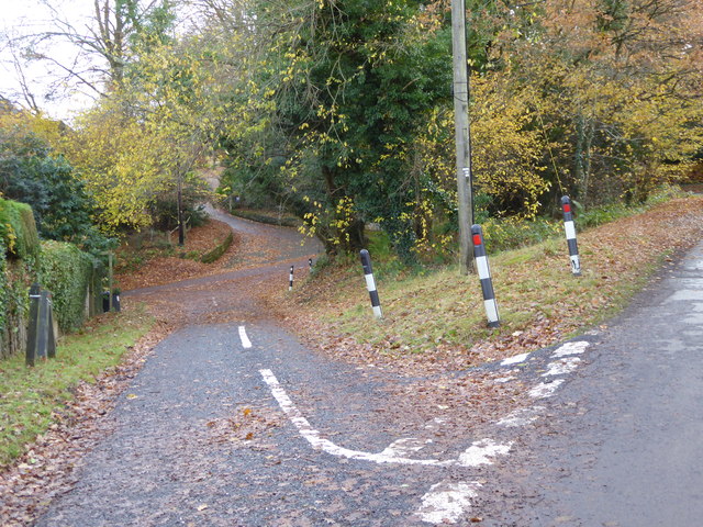
Bugshole Copse is a charming woodland located in Sussex, England. Spanning over a vast area, it is often referred to as a copse due to its small size compared to a full-scale forest. Nestled amidst the rolling hills of the Sussex countryside, this woodland is a popular destination for nature lovers and outdoor enthusiasts alike.
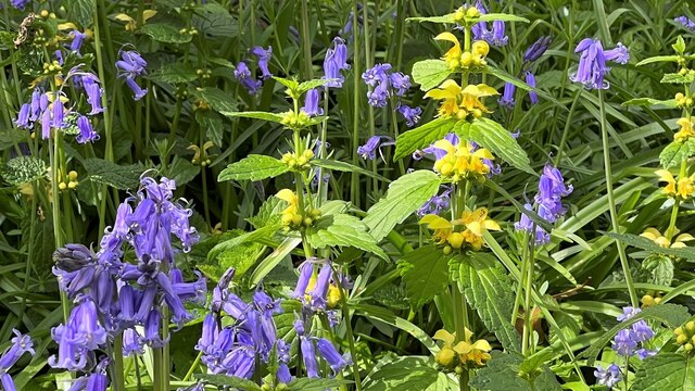
The copse is predominantly composed of a mixture of native deciduous trees, including oak, beech, and ash. These towering trees provide a dense canopy that filters sunlight and creates a tranquil, shaded environment. In spring, the woodland floor is carpeted with vibrant bluebells, creating a picturesque scene that attracts visitors from far and wide.
Bugshole Copse is also home to a diverse range of wildlife. Bird enthusiasts can spot various species, such as woodpeckers, thrushes, and owls, while small mammals like foxes, squirrels, and badgers can be observed foraging among the undergrowth. The copse is particularly known for its population of woodland butterflies, which flutter among the wildflowers in the warmer months.
For those seeking outdoor activities, Bugshole Copse offers several walking trails that wind through the woodland. These trails provide an opportunity to immerse oneself in nature, taking in the sights, sounds, and scents of the woodland. The copse also has designated picnic spots, where visitors can relax and enjoy a peaceful meal surrounded by nature's beauty.
Bugshole Copse is a true gem of Sussex, offering a serene and enchanting escape from the hustle and bustle of everyday life. Its rich biodiversity, stunning flora, and tranquil atmosphere make it a must-visit destination for nature enthusiasts and those seeking a peaceful retreat.
If you have any feedback on the listing, please let us know in the comments section below.
Bugshole Copse Images
Images are sourced within 2km of 50.987945/-0.2312446 or Grid Reference TQ2422. Thanks to Geograph Open Source API. All images are credited.


Bugshole Copse is located at Grid Ref: TQ2422 (Lat: 50.987945, Lng: -0.2312446)
Administrative County: West Sussex
District: Horsham
Police Authority: Sussex
What 3 Words
///sanded.typically.flasks. Near Cowfold, West Sussex
Nearby Locations
Related Wikis

Colwood, West Sussex
Colwood is a village near Warninglid in West Sussex, England. It is the site of Colwood Manor. == References == The geographic coordinates are from the...

Bolney
Bolney is a village and civil parish in the Mid Sussex district of West Sussex, England. It lies 36 miles (58 km) south of London, 11 miles (18 km) north...
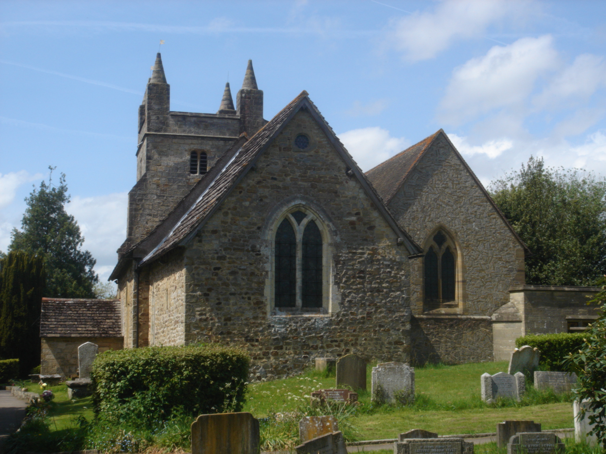
St Mary Magdalene's Church, Bolney
St Mary Magdalene's Church is an Anglican church in the village of Bolney in Mid Sussex, one of seven local government districts in the English county...
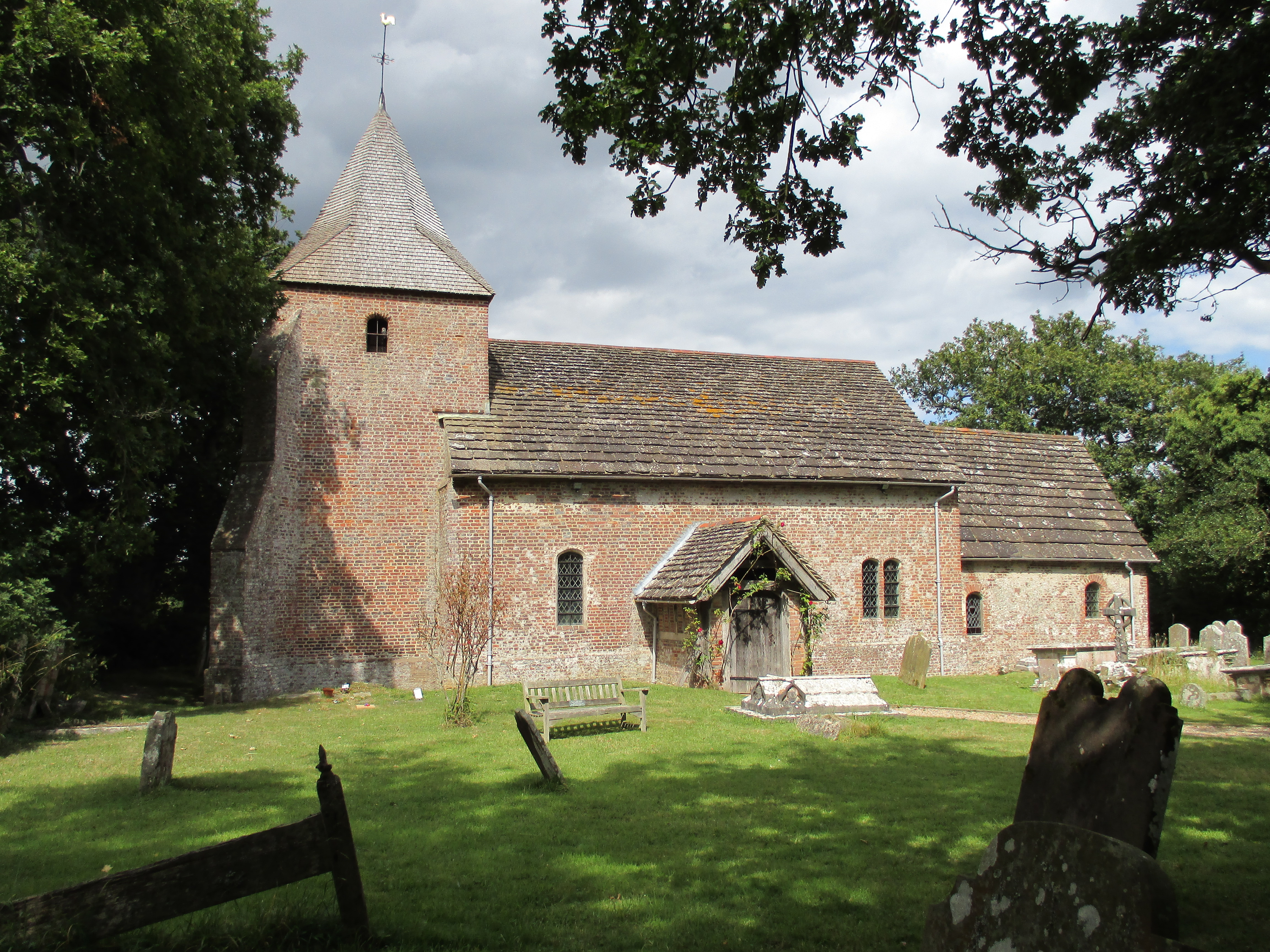
St Peter's Church, Twineham
St Peter's Church is the Church of England parish church of Twineham, a village in the Mid Sussex District of West Sussex, England. The church, with St...

Wykehurst Place
Wykehurst Place (or Park) is a Gothic Revival mansion in Bolney, West Sussex, England, resembling more the châteaux of the Loire than an English manor...
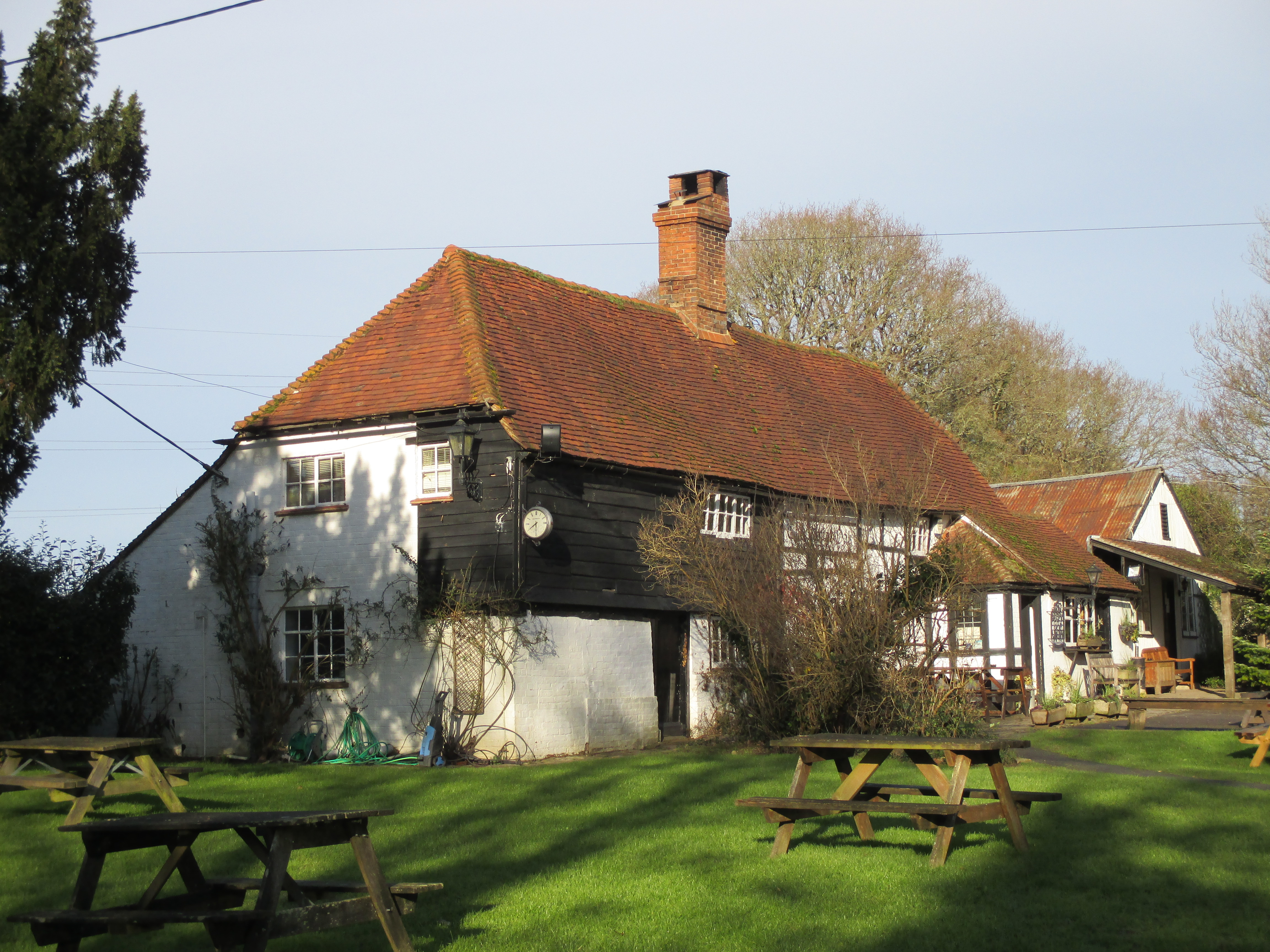
Wineham
Wineham is a hamlet mainly in the Shermanbury civil parish (and the same ecclesiastical parish) of the Horsham district of West Sussex, England. It is...

Cowfold
Cowfold is a village and civil parish between Billingshurst and Haywards Heath in the Horsham District of West Sussex, England. The village is at the intersection...
Twineham
Twineham is a village and civil parish in the Mid Sussex District of West Sussex, England. It is located eight kilometres (5 miles) to the west of Burgess...
Nearby Amenities
Located within 500m of 50.987945,-0.2312446Have you been to Bugshole Copse?
Leave your review of Bugshole Copse below (or comments, questions and feedback).