Cricket Bat Willows

Wood, Forest in Lincolnshire South Holland

England

Cricket Bat Willows

Church of St. Laurence, Surfleet The top of the tower is 6 feet off perpendicular; a result of subsidence common on the soft ground of the Fenlands.
Church of St. Laurence, Surfleet Credit: Tim Heaton

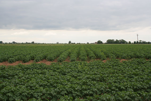
Cricket Bat Willows, Lincolnshire, is a region known for its abundant supply of willow trees used in the production of cricket bats. Located in the eastern part of England, this area boasts a rich history of cricket bat manufacturing and has become renowned for the high-quality wood it produces.

The willow trees found in this region are predominantly of the Salix alba variety, known for their straight and sturdy trunks. These trees thrive in the fertile soil and temperate climate of Lincolnshire, creating an ideal environment for their growth. The wood from these willows is highly prized in cricket bat production due to its unique characteristics, such as its lightness, flexibility, and ability to absorb shock.

The process of harvesting the willow trees begins during the winter months when the sap is low, ensuring the wood is at its strongest. Skilled craftsmen carefully select and cut down the mature trees, which are then processed and seasoned to enhance their durability and performance. The timber is then expertly crafted into cricket bat blades by skilled bat makers who shape and refine the wood to meet specific specifications.

Cricket Bat Willows, Lincolnshire, has become a hub for cricket bat manufacturing, attracting both local and international buyers seeking the finest quality wood. The region's reputation has been built upon its long-standing tradition of producing premium cricket bats, with numerous renowned bat makers and manufacturers operating in the area.

Overall, Cricket Bat Willows, Lincolnshire, stands as a testament to the region's commitment to excellence in cricket bat production, ensuring that players around the world can enjoy the highest quality equipment for their sport.

If you have any feedback on the listing, please let us know in the comments section below.

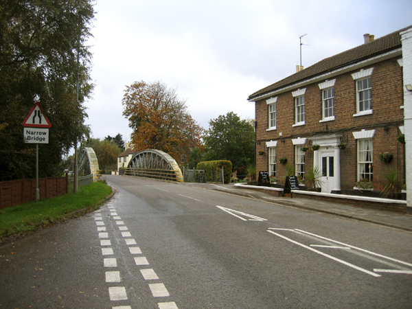
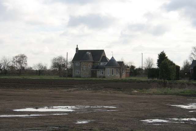
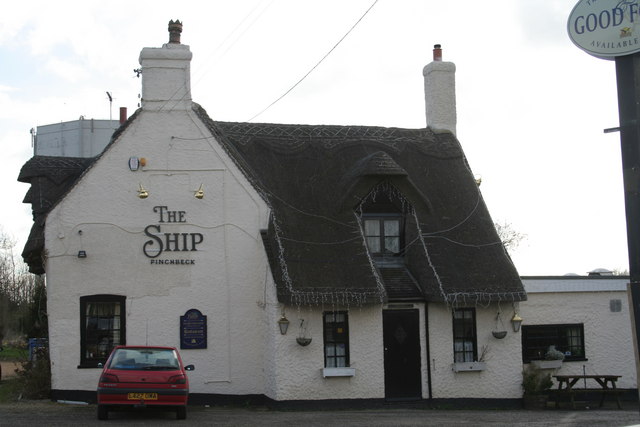
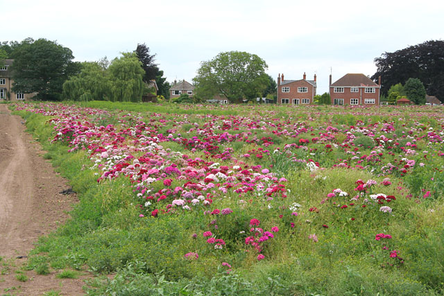
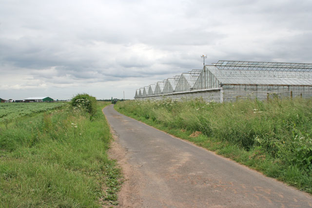
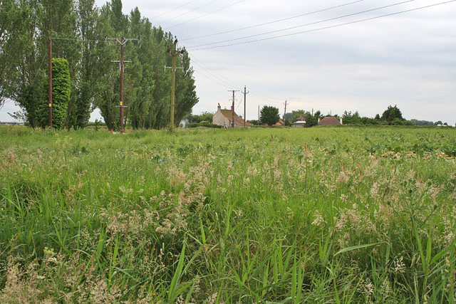
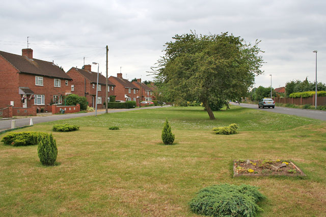
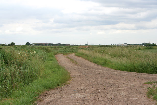
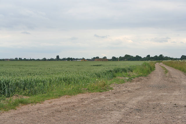
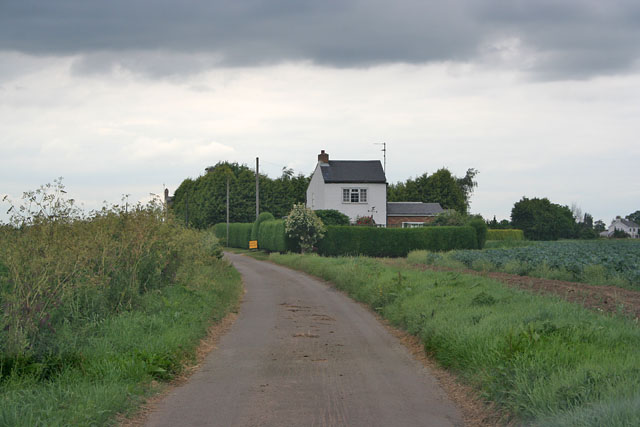
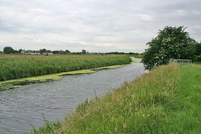
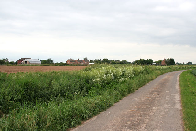
Cricket Bat Willows Images

Images are sourced within 2km of 52.831751/-0.15729334 or Grid Reference TF2427. Thanks to Geograph Open Source API. All images are credited.

Church of St. Laurence, Surfleet The top of the tower is 6 feet off perpendicular; a result of subsidence common on the soft ground of the Fenlands.
Church of St. Laurence, Surfleet
The top of the tower is 6 feet off perpendicular; a result of subsidence common on the soft ground of the Fenlands.
St.Laurence's church, Surfleet, Lincs.
Bridge over the River Glen, Surfleet, Lincs An iron girder bridge, built in 1884, with the riverside Mermaid Inn on the right. <span class="nowrap"><a title="http://www.sholland.gov.uk/council/democratic/parishes/surfleet/History+of+Surfleet.htm" rel="nofollow ugc noopener" href="http://www.sholland.gov.uk/council/democratic/parishes/surfleet/History+of+Surfleet.htm">Link</a><img style="margin-left:2px;" alt="External link" title="External link - shift click to open in new window" src="https://s1.geograph.org.uk/img/external.png" width="10" height="10"/></span>
Bridge over the River Glen, Surfleet, Lincs
An iron girder bridge, built in 1884, with the riverside Mermaid Inn on the right. LinkExternal link
New house on Herring Lane Nice round tower additions to this early 20th Century house
New house on Herring Lane
Nice round tower additions to this early 20th Century house
The Ship Inn, Pinchbeck This thatched inn is right next to the drainage dyke at Pinchbeck
The Ship Inn, Pinchbeck
This thatched inn is right next to the drainage dyke at Pinchbeck
Sweet Williams off Park Lane, Surfleet Grown for the cut flower trade.
Sweet Williams off Park Lane, Surfleet
Grown for the cut flower trade.
Glasshouses on Ten Acre Lane, Crossgate
Farmland on White Cross Lane, Surfleet
Crossgate near Spalding Oldham Drive to the left and Surfleet Road to the right.
Crossgate near Spalding
Oldham Drive to the left and Surfleet Road to the right.
Ten Acre Lane near Crossgate Looking towards the A16
Ten Acre Lane near Crossgate
Looking towards the A16
Farmland off Ten Acre Lane
Cuckoo Lane, Crossgate
River Glen at Surfleet This river flows into the Welland at Surfleet Seas End. See <span class="nowrap"><a title="http://www.environment-agency.gov.uk/subjects/navigation/747415/788356/186625/?lang=_e" rel="nofollow ugc noopener" href="http://www.environment-agency.gov.uk/subjects/navigation/747415/788356/186625/?lang=_e">Link</a><img style="margin-left:2px;" alt="External link" title="External link - shift click to open in new window" src="https://s1.geograph.org.uk/img/external.png" width="10" height="10"/></span>
River Glen at Surfleet
This river flows into the Welland at Surfleet Seas End. See LinkExternal link
Low Gate, Surfleet Looking across the farmland to Stockhouse Lane
Low Gate, Surfleet
Looking across the farmland to Stockhouse Lane
Potato field off Low Gate, Surfleet
Saltfleet Lane near Surfleet Barn at Cheal House Farm
Saltfleet Lane near Surfleet
Barn at Cheal House Farm
Farmland off Little Lane, Gosberton Cheal
Water Drove Level Crossing Manned level crossing on the Peterborough to Sleaford line. This road is called Gubbole's Drove.
Water Drove Level Crossing
Manned level crossing on the Peterborough to Sleaford line. This road is called Gubbole's Drove.
Show me another place!

Cricket Bat Willows is located at Grid Ref: TF2427 (Lat: 52.831751, Lng: -0.15729334)

Administrative County: Lincolnshire

District: South Holland

Police Authority: Lincolnshire

What 3 Words

///smoking.variation.shall. Near Pinchbeck, Lincolnshire

Nearby Locations

Cricket Bat Willows

Related Wikis

Surfleet

Surfleet is a small village and civil parish in the South Holland district of Lincolnshire, England. It is situated on the B1356 road, 3 miles (4.8 km...

Pinchbeck railway station

Pinchbeck railway station was a station in Pinchbeck, Lincolnshire, England on the line between Spalding and Sleaford. The station opened in 1882, closed...

Pinchbeck, Lincolnshire

Pinchbeck is a village and civil parish in the South Holland district of Lincolnshire, England. The civil parish population was 5,153 at the 2001 census...

Gosberton

Gosberton is a village and civil parish in the South Holland district of Lincolnshire, England. It is situated 9 miles (14.5 km) south-west of Boston,...

Belnie

Belnie is a hamlet in the civil parish of Gosberton, Lincolnshire, England. == References ==

Pinchbeck Engine

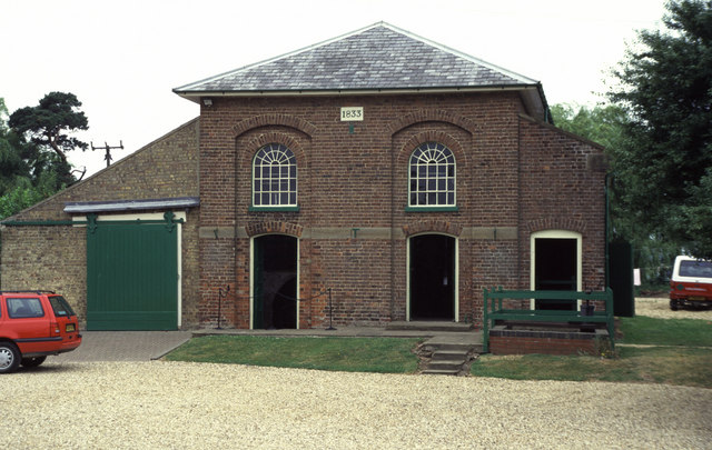
The Pinchbeck Engine is a drainage engine, a rotative beam engine built in 1833 to drain Pinchbeck Marsh, to the north of Spalding, Lincolnshire, in England...

Surfleet railway station

Surfleet railway station was a station in Surfleet, Lincolnshire, England. It closed to passenger traffic on 11 September 1961. The rail line is now the...

Spalding Power Station

Spalding Power Station is a 860 MW gas-fired power station one mile north of Spalding on West Marsh Road close to the River Welland. The current site provides...

Nearby Amenities

Located within 500m of 52.831751,-0.15729334
Cuckoo Lane Farm
Place: farm
Source: Bing
Lat/Long: 52.8319647/-0.1503709
Cheal Lodge
Place: isolated_dwelling
Source: Bing
Lat/Long: 52.8359922/-0.1577348
Stimpson's Cottage
Place: isolated_dwelling
Source: Bing
Lat/Long: 52.8285549/-0.1532256
The data included in this document is from www.openstreetmap.org. The data is made available under ODbL.

Have you been to Cricket Bat Willows?

Leave your review of Cricket Bat Willows below (or comments, questions and feedback).