Margery Wood
Wood, Forest in Surrey Reigate and Banstead
England
Margery Wood

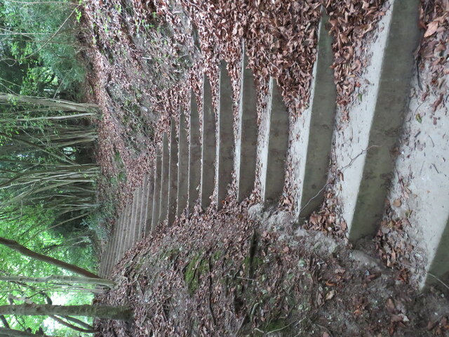
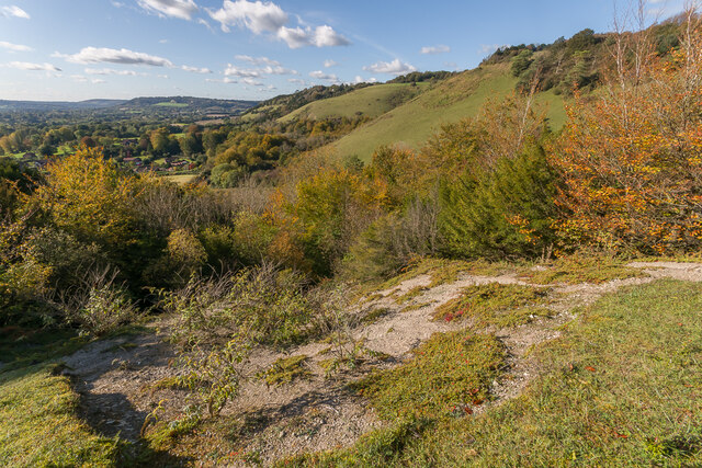
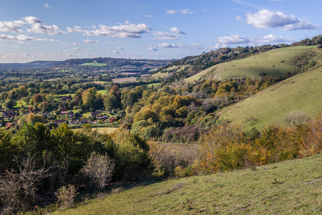
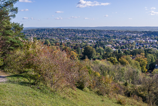
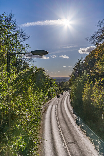
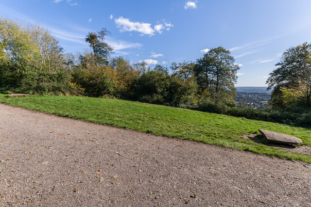
Margery Wood is a picturesque area located within the county of Surrey in England. Situated in the southern part of the county, it forms part of the larger Surrey Hills Area of Outstanding Natural Beauty. This charming woodland covers an area of approximately 80 hectares and is a popular destination for nature lovers, hikers, and wildlife enthusiasts.
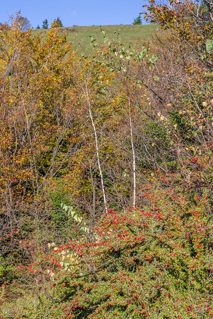
The wood is predominantly composed of broadleaf trees, including oak, beech, and birch, creating a diverse and vibrant ecosystem. The dense canopy provides a sheltered habitat for a variety of flora and fauna, making it an ideal spot for birdwatching and spotting other woodland creatures such as deer, foxes, and squirrels.
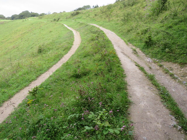
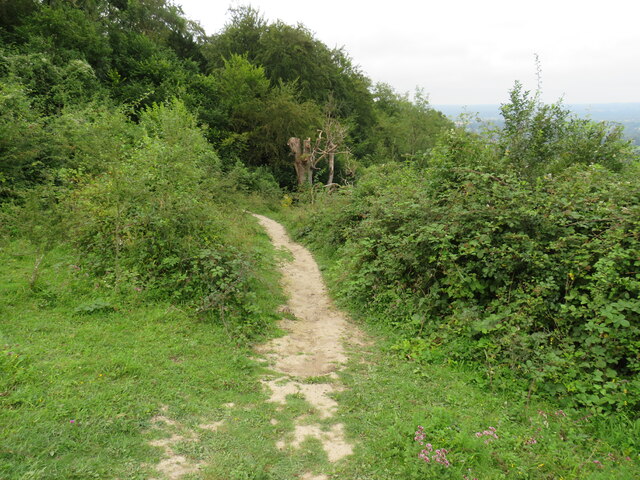
Margery Wood offers several walking trails that meander through its enchanting landscape, allowing visitors to immerse themselves in the tranquility of nature. These trails cater to a range of abilities, from leisurely strolls to more challenging hikes, offering something for everyone.
Located within close proximity to the town of Caterham, Margery Wood provides a peaceful retreat from the hustle and bustle of urban life. It offers a respite for locals and tourists alike, seeking solace in the natural beauty of the Surrey countryside.
Managed by the Forestry Commission, Margery Wood also plays a crucial role in sustainable timber production, contributing to the local economy and supporting the forestry industry.
Overall, Margery Wood is a hidden gem in Surrey, offering a serene and idyllic escape for those seeking to reconnect with nature and enjoy the beauty of this enchanting woodland.
If you have any feedback on the listing, please let us know in the comments section below.
Margery Wood Images
Images are sourced within 2km of 51.258438/-0.21840343 or Grid Reference TQ2452. Thanks to Geograph Open Source API. All images are credited.


Margery Wood is located at Grid Ref: TQ2452 (Lat: 51.258438, Lng: -0.21840343)
Administrative County: Surrey
District: Reigate and Banstead
Police Authority: Surrey
What 3 Words
///abode.baking.gallons. Near Lower Kingswood, Surrey
Nearby Locations
Related Wikis

Colley Hill
Colley Hill is part of the North Downs escarpment in the North Downs, Surrey, England. It is about 1 km east of Buckland Hills and 1 km west of Reigate...

Mogador, Surrey
Mogador is a hamlet in the Reigate and Banstead district, in the English county of Surrey. It is at the edge of Banstead Heath, which provides it a green...

Margery
Margery is a heavily buffered, lightly populated hamlet in the Reigate and Banstead district in the English county of Surrey. It sits on the North Downs...

London Defence Positions
The London Defence Positions were a late 19th-century scheme of earthwork fortifications in the southeast of England, designed to protect London from foreign...

Reigate transmitting station
Reigate transmitting station is a television and radio transmitting tower in southeastern England. It is located on the North Downs at Reigate Hill about...
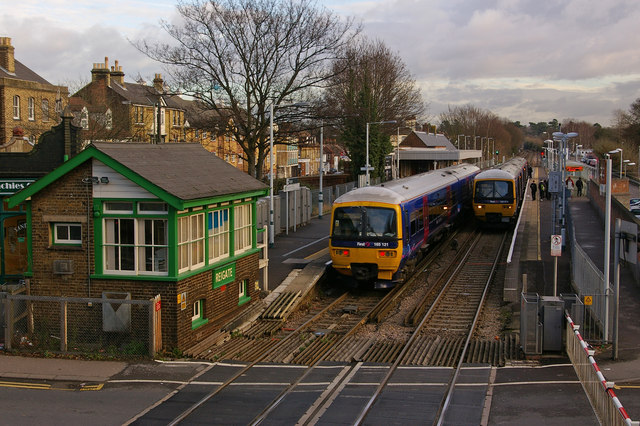
Reigate railway station
Reigate railway station serves the town of Reigate, Surrey, England, on the North Downs Line. It is 24 miles 27 chains (24.34 miles, 39.17 km) measured...
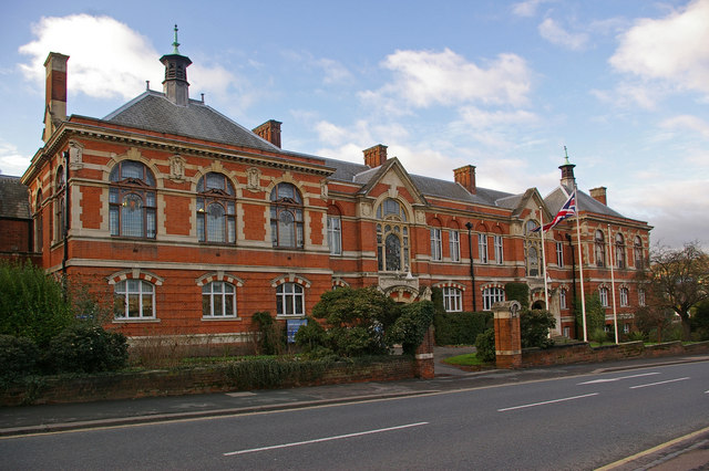
Reigate Town Hall
Reigate Town Hall is a municipal building in Castlefield Road, Reigate, Surrey, England. The town hall, which is the meeting place of Reigate and Banstead...
Reigate Priory F.C.
Reigate Priory Football Club is a football club based in Reigate, Surrey, England. They are currently members of the Mid-Sussex League Premiership and...
Nearby Amenities
Located within 500m of 51.258438,-0.21840343Have you been to Margery Wood?
Leave your review of Margery Wood below (or comments, questions and feedback).