Great Bookham Common
Wood, Forest in Surrey Mole Valley
England
Great Bookham Common
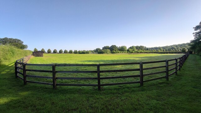
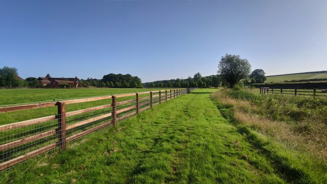
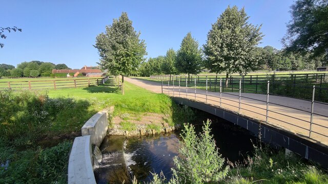
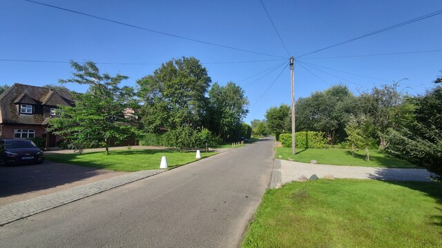
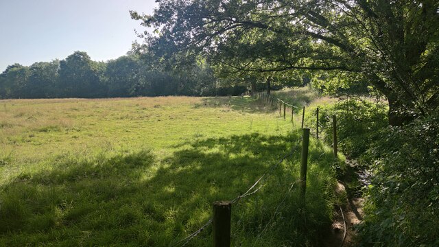
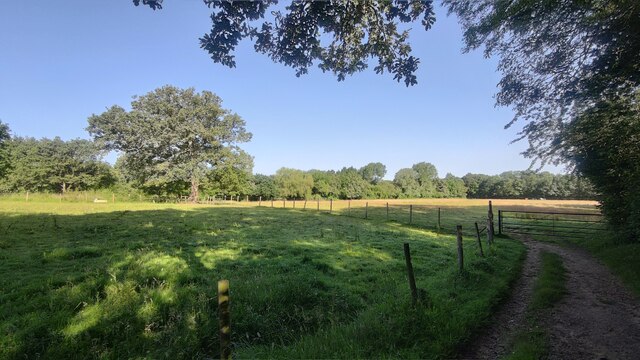
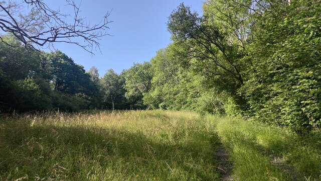
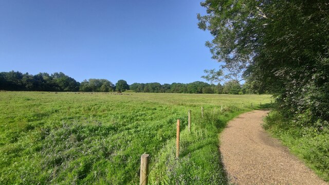
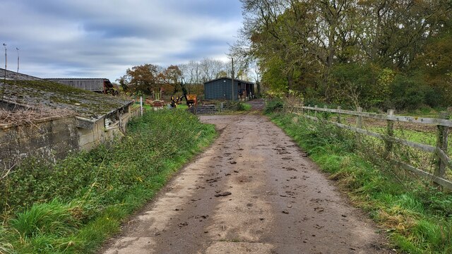
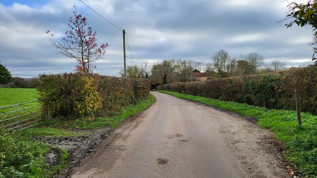
Great Bookham Common is a picturesque area located in Surrey, England. It is a designated Site of Special Scientific Interest (SSSI) and covers an area of approximately 250 hectares. The common is situated between the villages of Great Bookham and Fetcham, and is a popular destination for nature enthusiasts and walkers.
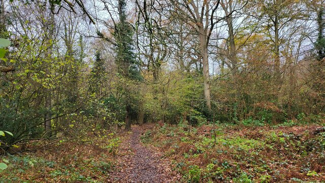
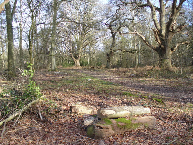
The common is predominantly covered by woodland, consisting of a mix of broadleaf trees such as oak, beech, and birch. It is also home to a variety of flora and fauna, including bluebells, wild garlic, and rare species of orchids. The diverse range of habitats found within the common, including ponds and wetland areas, provide ideal conditions for a wide range of wildlife.
Visitors to Great Bookham Common can enjoy several well-maintained walking trails, which offer stunning views of the surrounding countryside. The common is also intersected by the Mole River, adding to its natural beauty. The tranquil atmosphere and peaceful surroundings make it a perfect place for relaxation and recreation.
The common is managed by the Surrey Wildlife Trust, who ensure the preservation and conservation of the area's natural resources. They carry out regular maintenance work, including tree planting and the removal of invasive species, to protect the delicate ecosystem of the common.
Overall, Great Bookham Common is a treasured natural site in Surrey, offering both locals and tourists a chance to immerse themselves in the beauty of the English countryside.
If you have any feedback on the listing, please let us know in the comments section below.
Great Bookham Common Images
Images are sourced within 2km of 51.295075/-0.38389856 or Grid Reference TQ1256. Thanks to Geograph Open Source API. All images are credited.


Great Bookham Common is located at Grid Ref: TQ1256 (Lat: 51.295075, Lng: -0.38389856)
Administrative County: Surrey
District: Mole Valley
Police Authority: Surrey
What 3 Words
///wounds.public.pill. Near Great Bookham, Surrey
Related Wikis
Bookham Commons
Bookham Commons are two commons, situated just to the north of the villages of Great Bookham and Little Bookham, in Surrey, England, 154.7 hectares (382...

Bookham railway station
Bookham railway station is in the village of Great Bookham in Surrey, England. It also serves the adjacent village of Little Bookham. It is 20 miles...

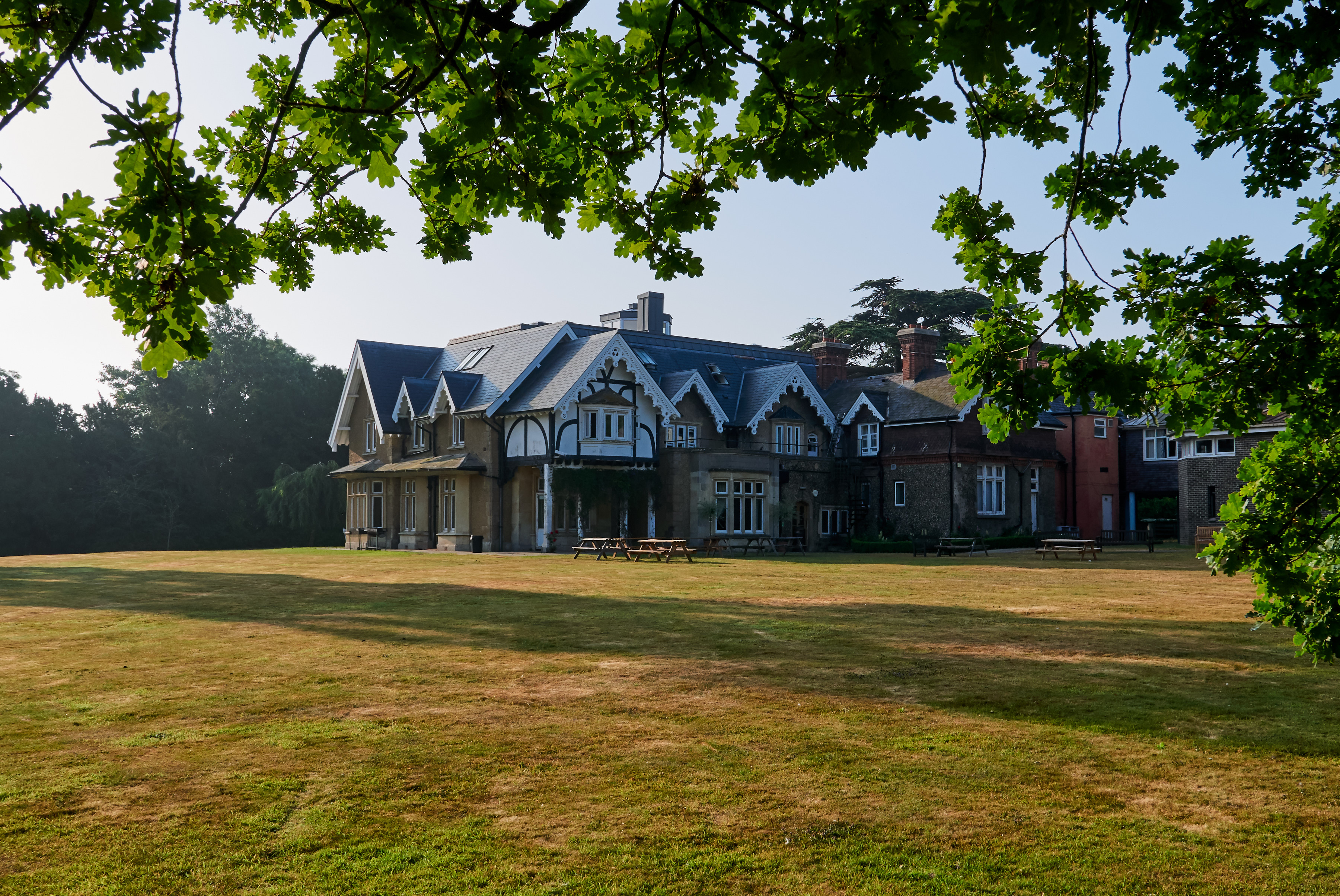
Bookham Lodge
The Grange is a gothic regency manor house in Stoke d'Abernon, Surrey that dates back to the 15th Century. It was part of the Eastwick Manor estate and...
Yehudi Menuhin School
The Yehudi Menuhin School is a specialist music school in Stoke d'Abernon, Surrey, England, founded in 1963 by violinist and conductor Yehudi Menuhin....

Eastwick Park
Eastwick Park, also Eastwich Park, at Great Bookham in Surrey, England (for the period 1726–1958) was the family seat of the Howards of Effingham for about...

Little Bookham
Little Bookham is a small, historic village in Surrey, England between Great Bookham and Effingham. It is home to several listed historical buildings,...

Great Bookham
Great Bookham is a village in Surrey, England, one of six semi-urban spring line settlements between the towns of Leatherhead and Guildford. With the narrow...
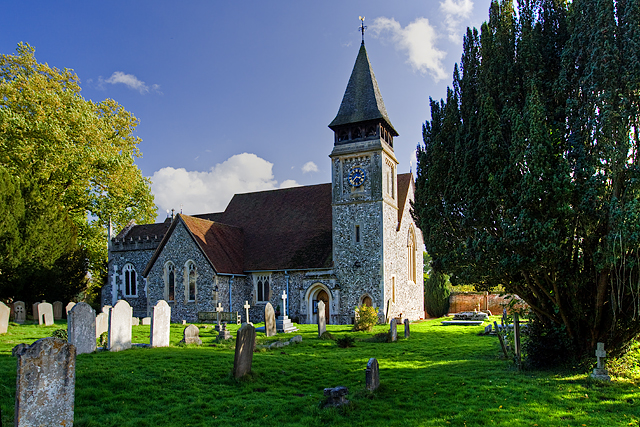
St Mary's Church, Stoke d'Abernon
The Church of St Mary is an Anglican church in the village of Stoke d'Abernon, Surrey, in the Diocese of Guildford. The church, the oldest parts of which...
Nearby Amenities
Located within 500m of 51.295075,-0.38389856Have you been to Great Bookham Common?
Leave your review of Great Bookham Common below (or comments, questions and feedback).