Hundred Pound Bridge Wood

Wood, Forest in Surrey Elmbridge

England

Hundred Pound Bridge Wood

Horsley Road Entrance to Highway Farm.
Horsley Road Credit: James Emmans

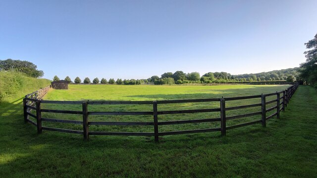
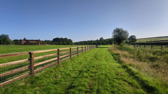
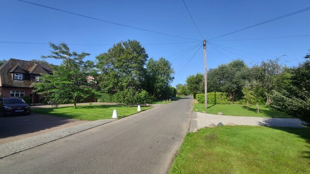
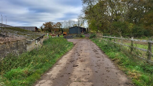
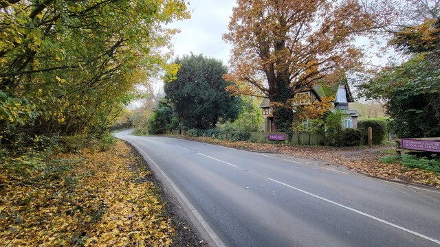
Hundred Pound Bridge Wood is a stunning forest located in the county of Surrey, England. Stretching across an area of approximately 100 acres, this wood is a popular destination for nature enthusiasts, hikers, and those seeking a peaceful escape from the bustling city life.

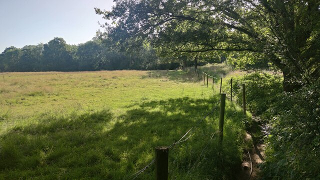
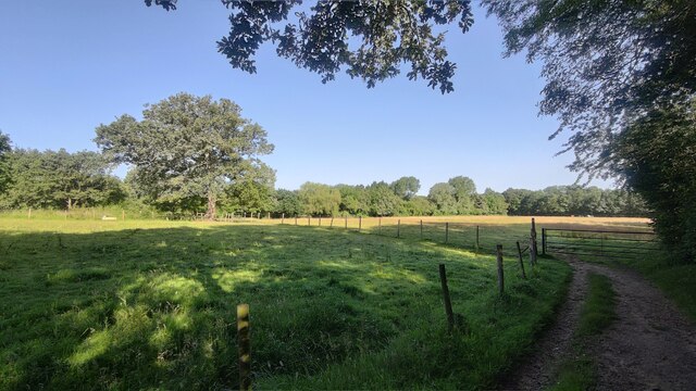
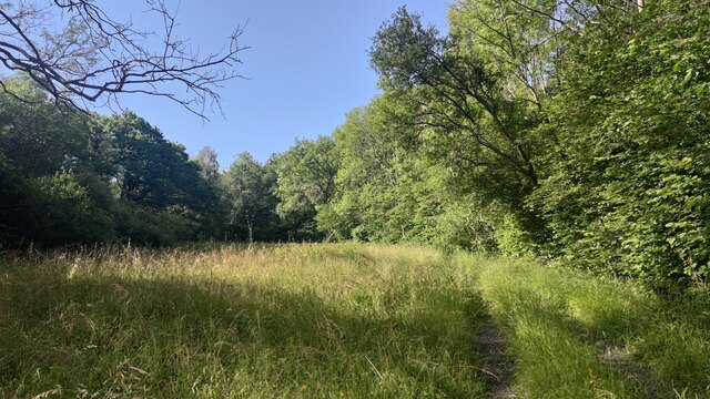
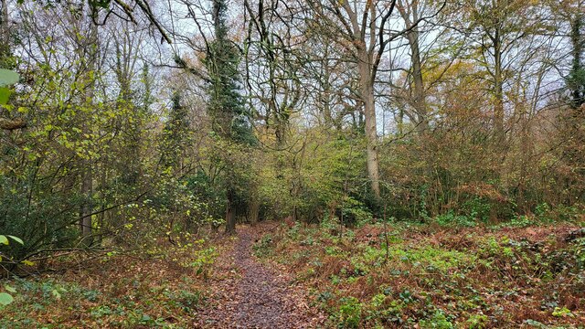
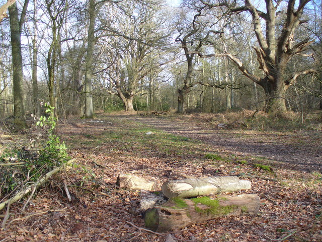
The wood is characterized by its dense canopy of towering oak, beech, and chestnut trees, which create a cool and shaded environment even on the hottest summer days. The forest floor is adorned with a rich variety of flora, including bluebells, wild garlic, and ferns, adding to the wood's natural beauty.

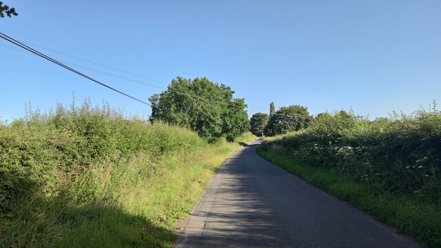
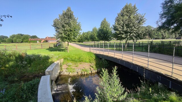
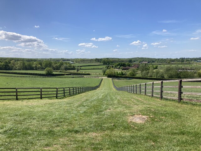
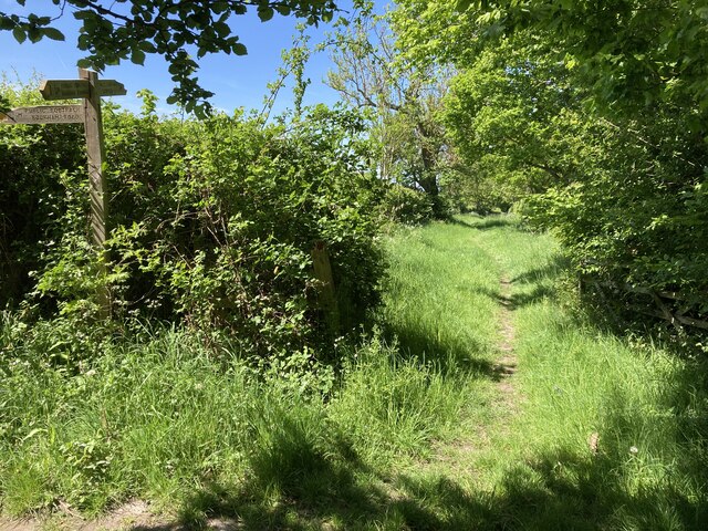
A network of well-maintained footpaths and trails winds its way through Hundred Pound Bridge Wood, allowing visitors to explore its depths and discover hidden treasures along the way. These paths lead to picturesque spots such as Hundred Pound Bridge, a charming stone bridge that crosses a babbling brook, creating a tranquil atmosphere.

The wood is also home to a diverse range of wildlife, including deer, badgers, owls, and various species of birds. Birdwatchers flock to the area to catch a glimpse of rare species such as the nightjar and wood warbler.

Hundred Pound Bridge Wood offers a peaceful retreat for those seeking solitude and a chance to reconnect with nature. Whether it's a leisurely stroll, a family picnic, or an adventurous hike, this enchanting forest in Surrey provides an idyllic setting for all nature lovers.

If you have any feedback on the listing, please let us know in the comments section below.

Hundred Pound Bridge Wood Images

Images are sourced within 2km of 51.299471/-0.39428741 or Grid Reference TQ1256. Thanks to Geograph Open Source API. All images are credited.

Horsley Road Entrance to Highway Farm.
Horsley Road
Entrance to Highway Farm.
St Michael's Chapel View from the Downside footpath that leads to Cobham.
St Michael's Chapel
View from the Downside footpath that leads to Cobham.
Bookham Road Rural road that leads to Little Bookham Common. It goes under the M25 and the New Guildford Railway (1885).
Bookham Road
Rural road that leads to Little Bookham Common. It goes under the M25 and the New Guildford Railway (1885).
Paddock near Chasemore Farm
Paddock next to Chasemore Farm Chasemore Farm building is on the left.
Paddock next to Chasemore Farm
Chasemore Farm building is on the left.
Casemore Farm access road Bridge over a stream that has a check dam to prevent excess erosion during wet weather.
Casemore Farm access road
Bridge over a stream that has a check dam to prevent excess erosion during wet weather.
Lower Farm Road
Lower Farm Road
Footpath near Oaken Wood
Oaken Wood A track through the wood.
Oaken Wood
A track through the wood.
Cobham Road A busy semi-rural 'A' road with sloping narrow verge poorly designed for walkers.
Cobham Road
A busy semi-rural 'A' road with sloping narrow verge poorly designed for walkers.
Farm Track Access road for Slyfield Farm and a public footpath.
Farm Track
Access road for Slyfield Farm and a public footpath.
Historic South Lodge The old southern entrance to the Manor that is now a private school.
Historic South Lodge
The old southern entrance to the Manor that is now a private school.
The River Mole snakes pass Slyfield House
Great Bookham Common Path near the National Trust carpark.
Great Bookham Common
Path near the National Trust carpark.
Footpath near Chasemore Farm Footpath Esher 81/Leatherhead 600 near Chasemore Farm. The true line of the right of way passes through the paddock to the left (which, given the footpath was diverted out of the farm some while ago, suggests a lack of foresight). The stream, on the right, is the borough boundary between Elmbridge and Mole Valley — save that the boundary actually follows the old, meandering course of the stream which would twice have crossed this lower part of the field (this is why the footpath has two numbers).
Footpath near Chasemore Farm
Footpath Esher 81/Leatherhead 600 near Chasemore Farm. The true line of the right of way passes through the paddock to the left (which, given the footpath was diverted out of the farm some while ago, suggests a lack of foresight). The stream, on the right, is the borough boundary between Elmbridge and Mole Valley — save that the boundary actually follows the old, meandering course of the stream which would twice have crossed this lower part of the field (this is why the footpath has two numbers).
Chasemore Farm from footpath 1 Footpath Leatherhead 1 descends between horse paddocks towards a bridge over a stream marking the boundary between Mole Valley district and Elmbridge borough. Beyond is Chasemore Farm.
Chasemore Farm from footpath 1
Footpath Leatherhead 1 descends between horse paddocks towards a bridge over a stream marking the boundary between Mole Valley district and Elmbridge borough. Beyond is Chasemore Farm.
Stents Lane near Bookham Lodge Stents Lane at the junction between footpaths Leatherhead 1 and 6.  Footpath 6 here follows Stents Lane.
Stents Lane near Bookham Lodge
Stents Lane at the junction between footpaths Leatherhead 1 and 6. Footpath 6 here follows Stents Lane.
Show me another place!

Hundred Pound Bridge Wood is located at Grid Ref: TQ1256 (Lat: 51.299471, Lng: -0.39428741)

Administrative County: Surrey

District: Elmbridge

Police Authority: Surrey

What 3 Words

///venues.rank.fines. Near Great Bookham, Surrey

Related Wikis

Bookham Commons

Bookham Commons are two commons, situated just to the north of the villages of Great Bookham and Little Bookham, in Surrey, England, 154.7 hectares (382...
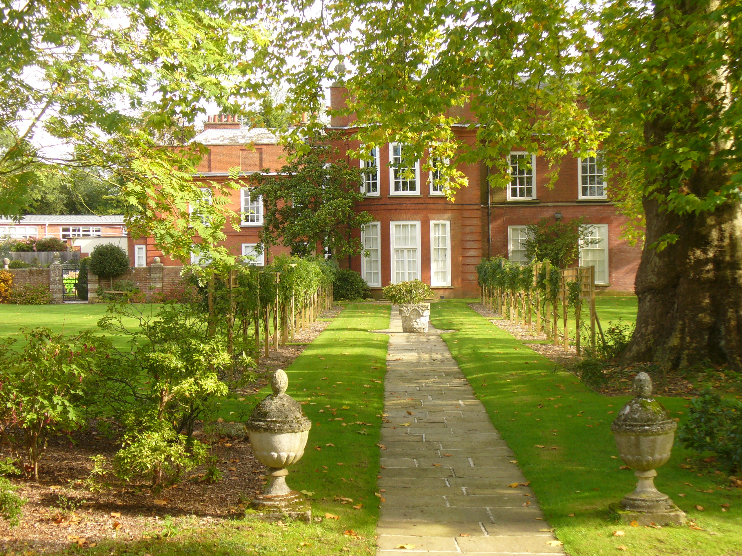
Bookham Lodge

The Grange is a gothic regency manor house in Stoke d'Abernon, Surrey that dates back to the 15th Century. It was part of the Eastwick Manor estate and...

Cobham MSA

Cobham services is a motorway service area on the M25 motorway in Surrey between junctions 9 and 10. It is operated by Extra MSA and was opened for business...

Bookham railway station

Bookham railway station is in the village of Great Bookham in Surrey, England. It also serves the adjacent village of Little Bookham. It is 20 miles...

Yehudi Menuhin School

The Yehudi Menuhin School is a specialist music school in Stoke d'Abernon, Surrey, England, founded in 1963 by violinist and conductor Yehudi Menuhin....

Downside, Surrey

Downside is a small village in the English county of Surrey, in the local government district of Elmbridge, centred on Downside Common which is 18 miles...

Parkside School, Cobham

Parkside School is a private preparatory school located in Cobham. Founded in 1879, the school caters for boys aged 2 to 13 and for girls in the nursery...

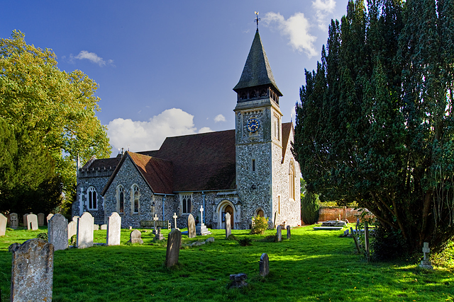
St Mary's Church, Stoke d'Abernon

The Church of St Mary is an Anglican church in the village of Stoke d'Abernon, Surrey, in the Diocese of Guildford. The church, the oldest parts of which...

Related Videos

ALPACA WALKING

For more information please visit our website: http://www.tapfarm.net/alpaca.htm.

Wetland Walk Bookham Common

Let go and explore the Wetlands at Bookham Common in Surrey, the sounds of the birds, amazing trees, ponds, and a bird hive, ...

M25 at night! 🛣🌒 #M25 #MOTORWAY

Travelling along the M25 in Surrey one evening, traffic is pretty light too. vermigram: http://www.instagram.com/vermigram Be sure ...

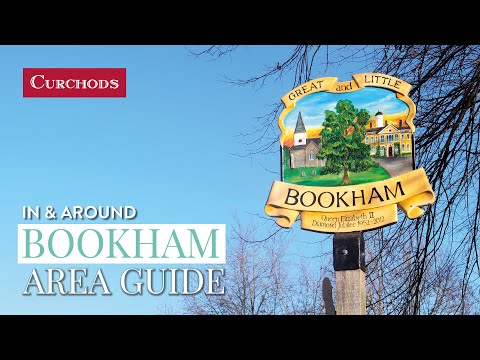
Bookham - Area Guide

For more information about the Bookham Area visit our local area guide: https://curchods.com/area-guide/bookham/ timestamps: ...

Nearby Amenities

Located within 500m of 51.299471,-0.39428741
Banks Farm
Place: farm
Lat/Long: 51.2956476/-0.3972691
Barrier: cattle_grid
Bicycle: yes
Foot: yes
Lat/Long: 51.2952685/-0.3939877
Barrier: kissing_gate
Lat/Long: 51.3019021/-0.3891871
Barrier: stile
Lat/Long: 51.300362/-0.394449
Barrier: stile
Lat/Long: 51.2996431/-0.3953512
Parking
Hundred Pound Bridge Car Park
Access: yes
Fee: yes
Operator: National Trust
Operator Type: charitable
Operator Wikidata: Q333515
Lat/Long: 51.2986477/-0.3935796
Turning Circle
Lat/Long: 51.3016901/-0.3950903
Bench
Guy & Jean's Bench
Lat/Long: 51.2974929/-0.3919861
The data included in this document is from www.openstreetmap.org. The data is made available under ODbL.

Have you been to Hundred Pound Bridge Wood?

Leave your review of Hundred Pound Bridge Wood below (or comments, questions and feedback).