The Birches
Wood, Forest in Surrey Mole Valley
England
The Birches

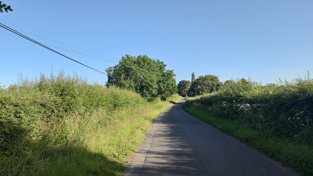
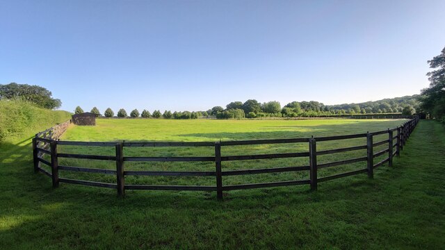
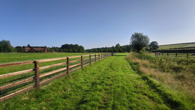
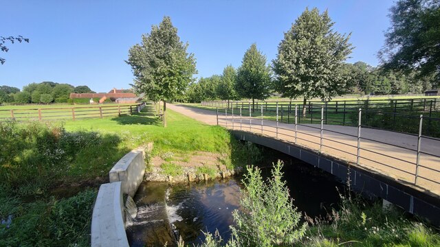
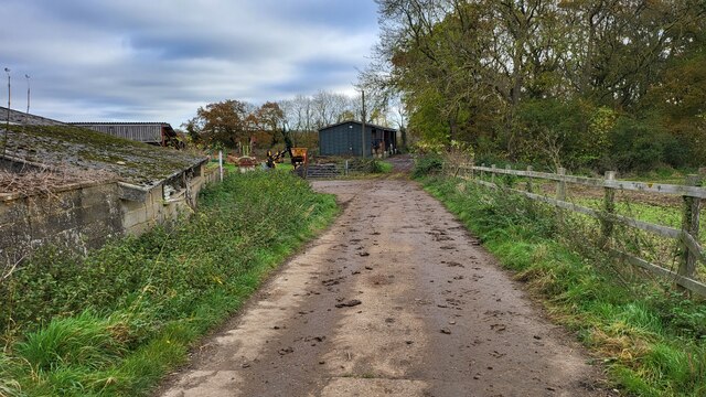
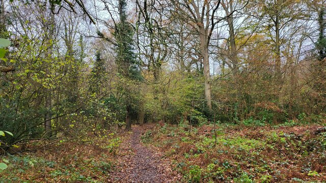
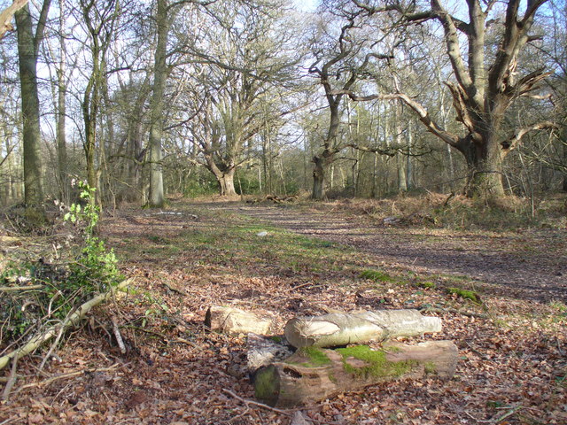
The Birches is a picturesque woodland located in Surrey, England. Situated in the heart of the county, this enchanting forest is known for its dense population of birch trees, which lend the area its name and unique character. Covering an expansive area of approximately 100 acres, The Birches is a haven for nature enthusiasts and outdoor lovers.
The woodland is home to a diverse range of flora and fauna, with the birch trees dominating the landscape. These slender, silver-barked trees create a stunning visual spectacle, especially during the autumn months when their leaves turn vibrant shades of yellow and gold. The forest floor is carpeted with a rich variety of wildflowers and ferns, adding to the area's natural beauty.
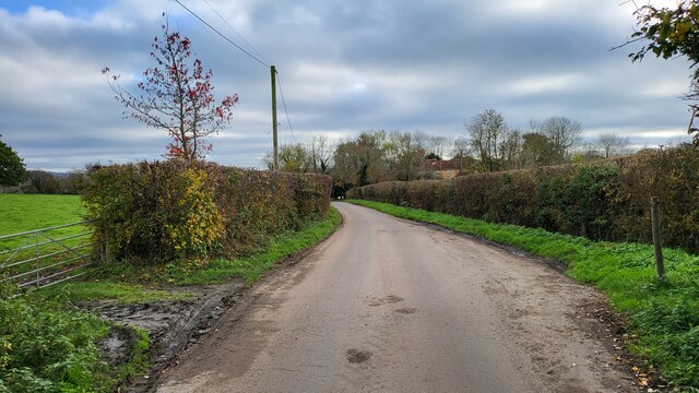
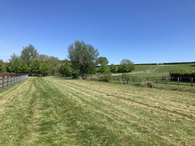
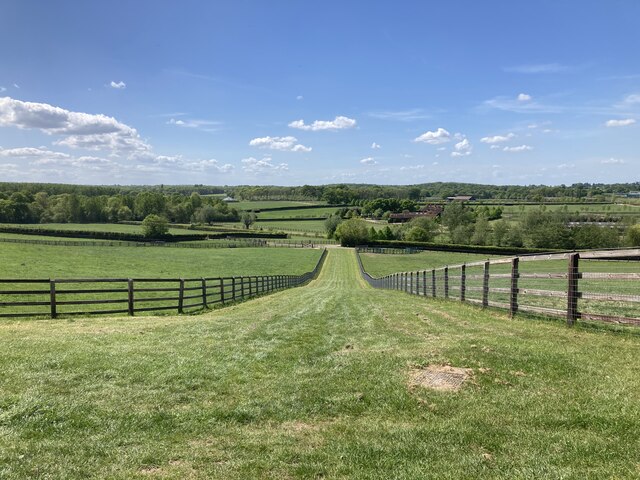
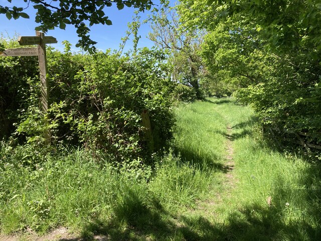
The Birches boasts a network of well-maintained footpaths and trails, allowing visitors to explore the woodland at their own pace. These pathways meander through the forest, offering breathtaking views of the surrounding countryside. The peaceful ambiance of The Birches makes it an ideal location for leisurely walks, birdwatching, and photography.
In addition to its natural allure, The Birches also provides a habitat for numerous wildlife species. Bird enthusiasts can spot a wide range of avian species, including woodpeckers, owls, and songbirds. The forest is also home to small mammals like squirrels and hedgehogs, as well as various insects and amphibians.
Overall, The Birches in Surrey is a captivating woodland that offers visitors a serene escape from the hustle and bustle of everyday life. Its splendor lies in the abundance of birch trees, diverse flora and fauna, and a tranquil atmosphere that invites visitors to reconnect with nature.
If you have any feedback on the listing, please let us know in the comments section below.
The Birches Images
Images are sourced within 2km of 51.300663/-0.38414702 or Grid Reference TQ1256. Thanks to Geograph Open Source API. All images are credited.


The Birches is located at Grid Ref: TQ1256 (Lat: 51.300663, Lng: -0.38414702)
Administrative County: Surrey
District: Mole Valley
Police Authority: Surrey
What 3 Words
///added.icons.natively. Near Great Bookham, Surrey
Related Wikis
Bookham Commons
Bookham Commons are two commons, situated just to the north of the villages of Great Bookham and Little Bookham, in Surrey, England, 154.7 hectares (382...

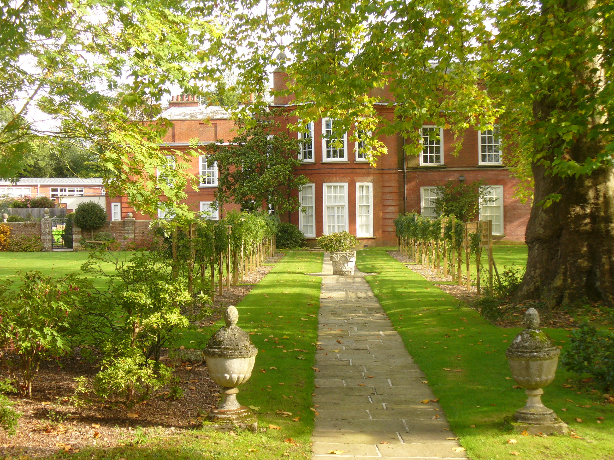
Bookham Lodge
The Grange is a gothic regency manor house in Stoke d'Abernon, Surrey that dates back to the 15th Century. It was part of the Eastwick Manor estate and...
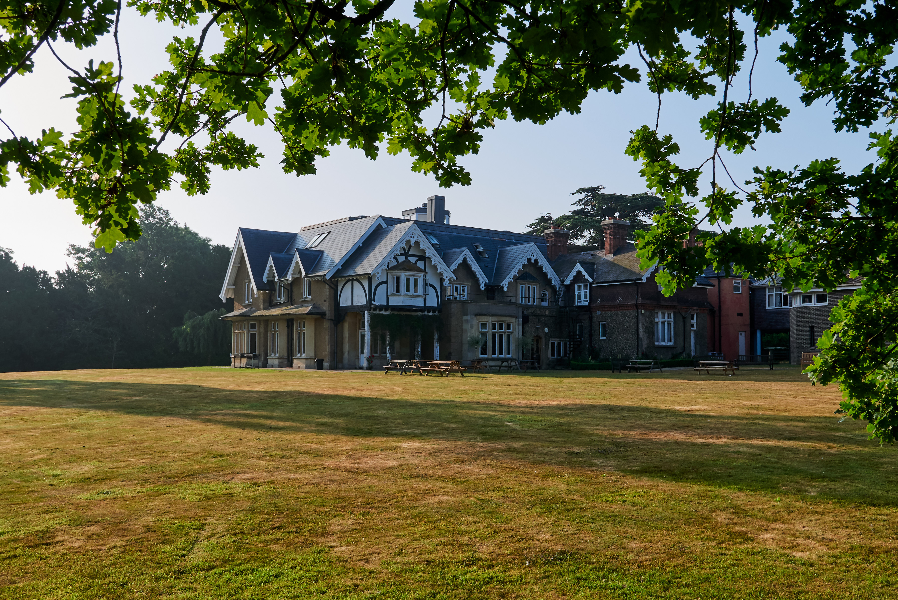
Yehudi Menuhin School
The Yehudi Menuhin School is a specialist music school in Stoke d'Abernon, Surrey, England, founded in 1963 by violinist and conductor Yehudi Menuhin....

Bookham railway station
Bookham railway station is in the village of Great Bookham in Surrey, England. It also serves the adjacent village of Little Bookham. It is 20 miles...
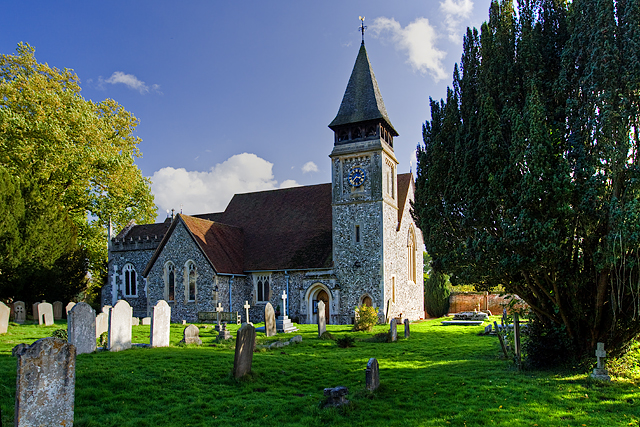
St Mary's Church, Stoke d'Abernon
The Church of St Mary is an Anglican church in the village of Stoke d'Abernon, Surrey, in the Diocese of Guildford. The church, the oldest parts of which...
Parkside School, Cobham
Parkside School is a private preparatory school located in Cobham. Founded in 1879, the school caters for boys aged 2 to 13 and for girls in the nursery...

Cobham Training Centre
The Cobham Training Centre, is the training ground of Chelsea Football Club located in the village of Stoke d'Abernon near the village of Cobham, Surrey...

Cobham MSA
Cobham services is a motorway service area on the M25 motorway in Surrey between junctions 9 and 10. It is operated by Extra MSA and was opened for business...
Nearby Amenities
Located within 500m of 51.300663,-0.38414702Have you been to The Birches?
Leave your review of The Birches below (or comments, questions and feedback).