Isle of Wight
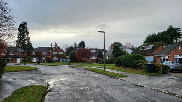
Settlement in Surrey Mole Valley
England
Isle of Wight
The Isle of Wight, located off the south coast of England, is a picturesque island with a rich history and stunning natural beauty. Separated from the mainland by the Solent, it covers an area of approximately 380 square kilometers and has a population of around 140,000 people.
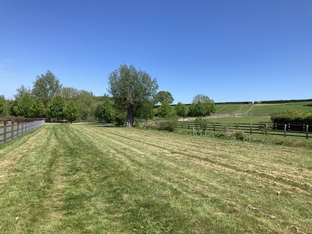
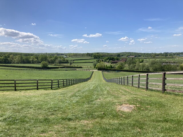
The island's landscape is diverse, featuring a mix of rolling hills, verdant countryside, and beautiful coastline. It is renowned for its stunning beaches, including popular spots such as Sandown, Shanklin, and Ventnor. The island also boasts several Areas of Outstanding Natural Beauty, such as the Tennyson Down and the Needles, which attract visitors and nature enthusiasts alike.
Historically, the Isle of Wight has been an important strategic location, with its proximity to the mainland making it a target for invaders throughout the centuries. It is home to several historic landmarks, including Carisbrooke Castle, Osborne House (Queen Victoria's former residence), and the Roman Villa at Brading.
The island is well-known for hosting events such as the Isle of Wight Festival, one of the UK's largest music festivals, attracting renowned artists and thousands of visitors each year. Additionally, it offers a wide range of activities for outdoor enthusiasts, including sailing, cycling, and hiking.
Transportation to the Isle of Wight is facilitated by regular ferry and hovercraft services from the mainland, making it easily accessible for tourists and day-trippers. Once on the island, transportation options include buses, trains, and cycling routes, allowing visitors to explore all that the Isle of Wight has to offer.
If you have any feedback on the listing, please let us know in the comments section below.
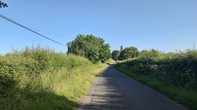
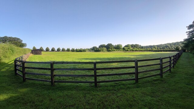
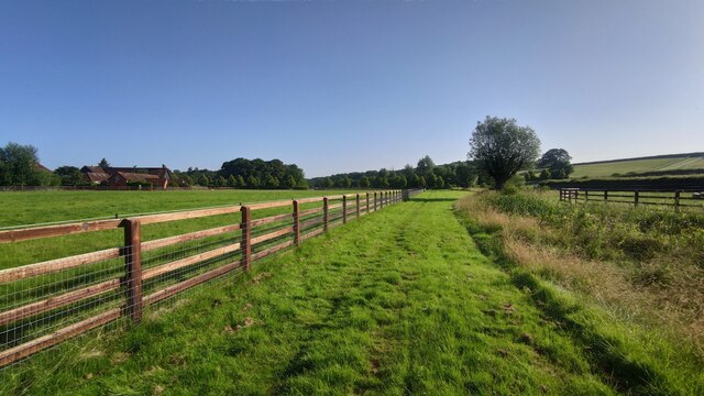
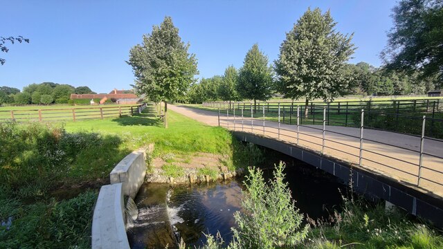
Isle of Wight Images
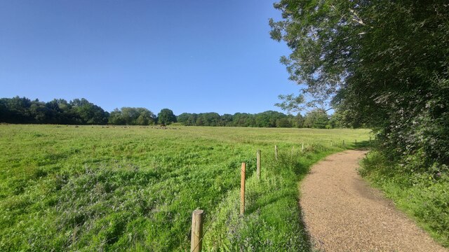
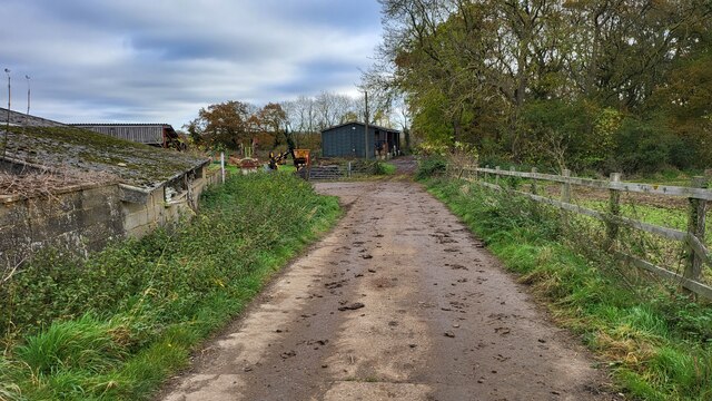
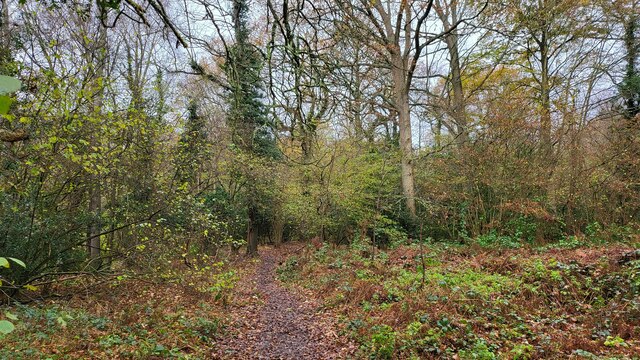
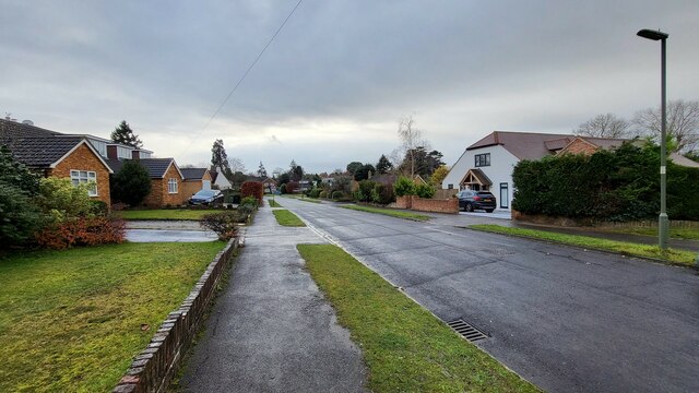
Images are sourced within 2km of 51.294903/-0.38836532 or Grid Reference TQ1256. Thanks to Geograph Open Source API. All images are credited.

Isle of Wight is located at Grid Ref: TQ1256 (Lat: 51.294903, Lng: -0.38836532)
Administrative County: Surrey
District: Mole Valley
Police Authority: Surrey
What 3 Words
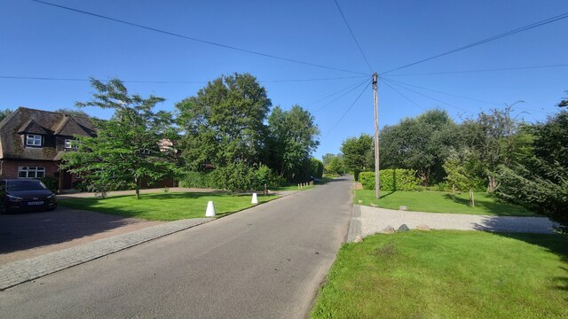
///silks.worm.pushed. Near Great Bookham, Surrey
Related Wikis
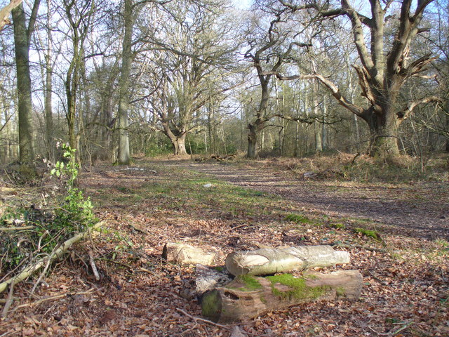
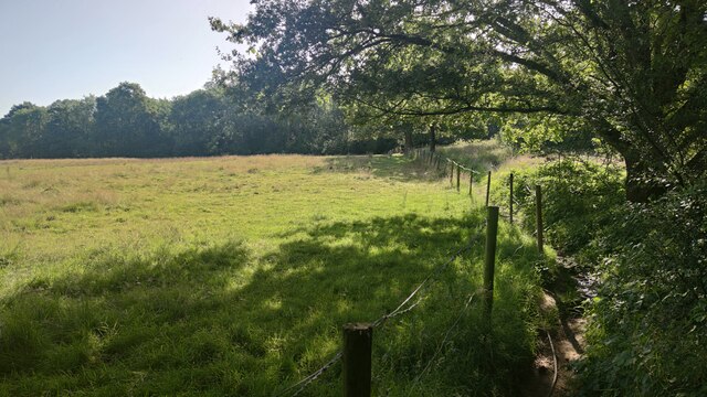
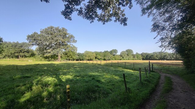
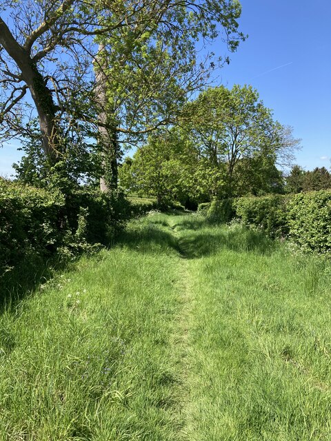
Bookham Commons
Bookham Commons are two commons, situated just to the north of the villages of Great Bookham and Little Bookham, in Surrey, England, 154.7 hectares (382...

Bookham railway station
Bookham railway station is in the village of Great Bookham in Surrey, England. It also serves the adjacent village of Little Bookham. It is 20 miles...

Bookham Lodge
The Grange is a gothic regency manor house in Stoke d'Abernon, Surrey that dates back to the 15th Century. It was part of the Eastwick Manor estate and...
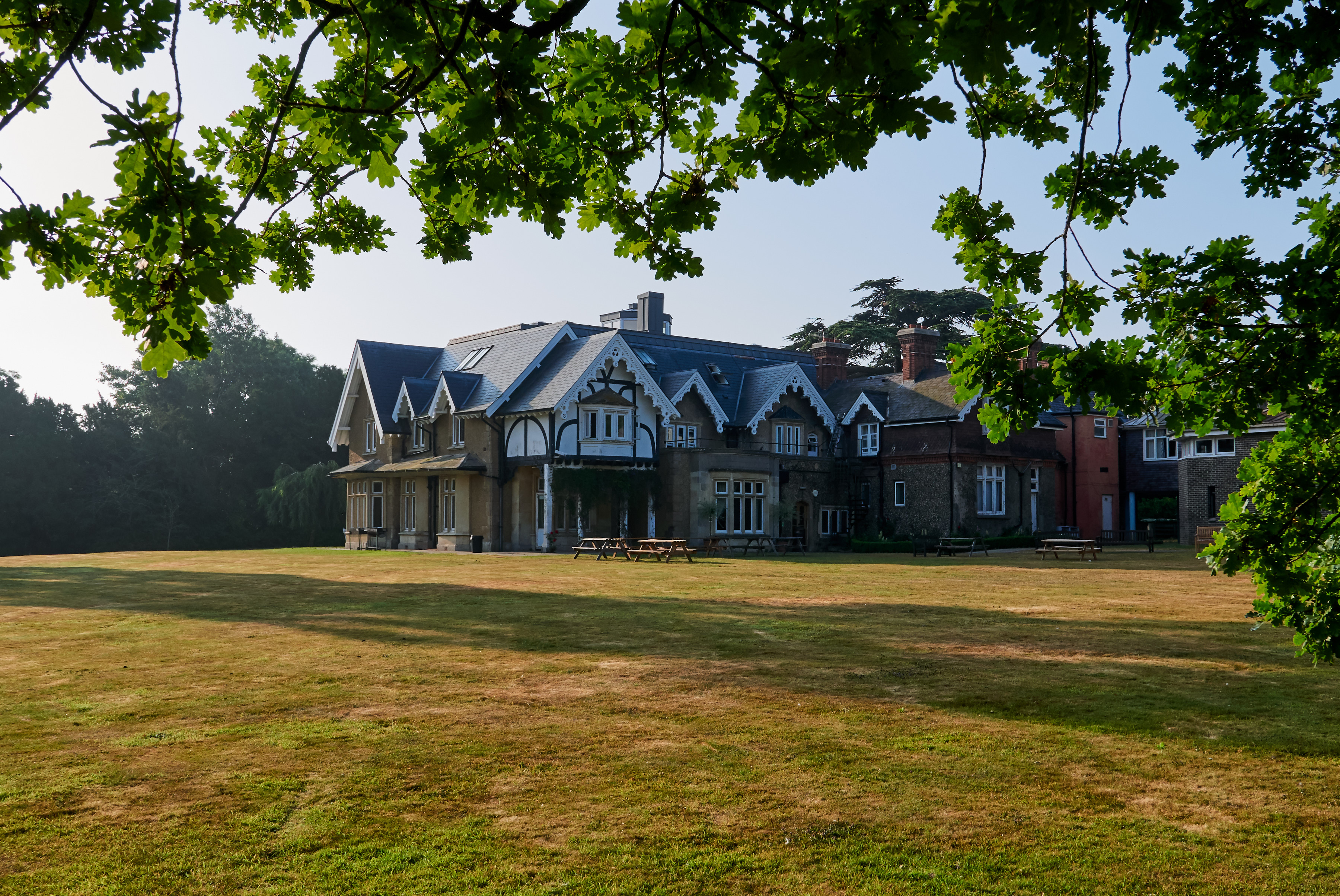
Yehudi Menuhin School
The Yehudi Menuhin School is a specialist music school in Stoke d'Abernon, Surrey, England, founded in 1963 by violinist and conductor Yehudi Menuhin....

Little Bookham
Little Bookham is a small, historic village in Surrey, England between Great Bookham and Effingham. It is home to several listed historical buildings,...

Eastwick Park
Eastwick Park, also Eastwich Park, at Great Bookham in Surrey, England (for the period 1726–1958) was the family seat of the Howards of Effingham for about...

Cobham MSA
Cobham services is a motorway service area on the M25 motorway in Surrey between junctions 9 and 10. It is operated by Extra MSA and was opened for business...

Great Bookham
Great Bookham is a village in Surrey, England, one of six semi-urban spring line settlements between the towns of Leatherhead and Guildford. With the narrow...
Nearby Amenities
Located within 500m of 51.294903,-0.38836532Have you been to Isle of Wight?
Leave your review of Isle of Wight below (or comments, questions and feedback).