Little Bookham Common
Wood, Forest in Surrey Mole Valley
England
Little Bookham Common
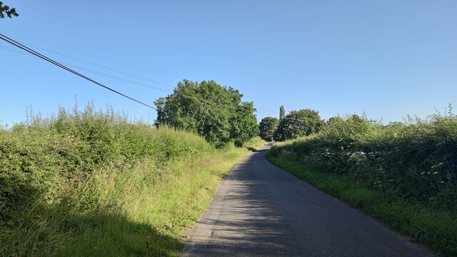
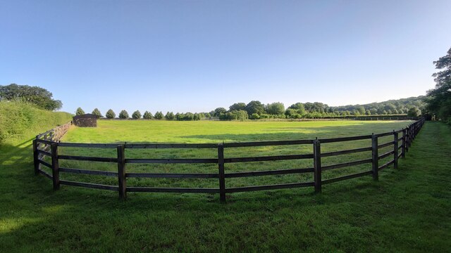
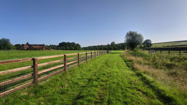
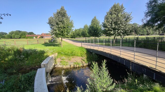
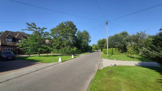
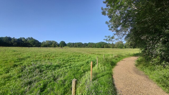
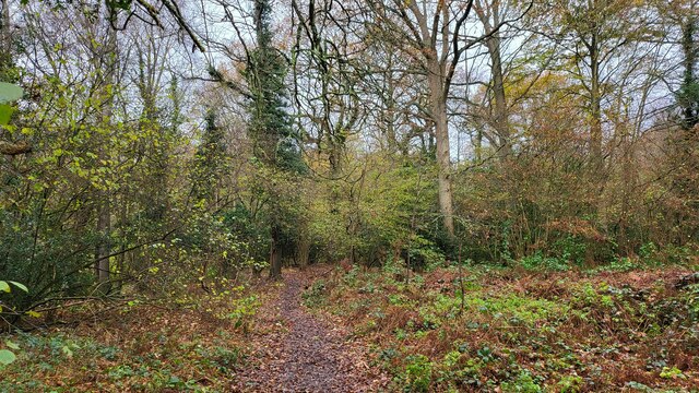
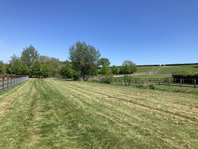
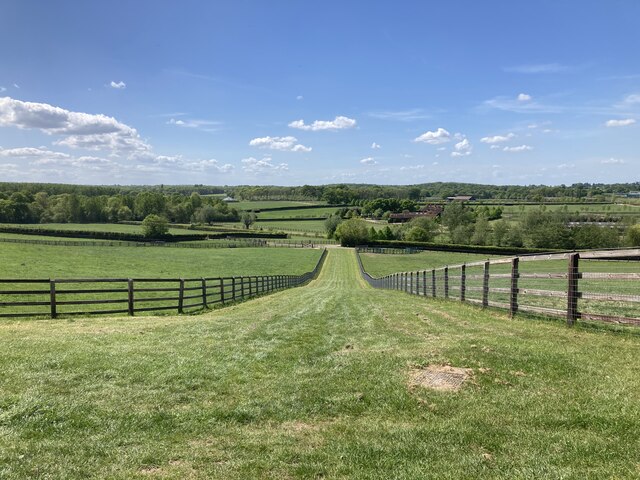
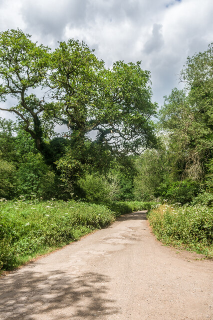
Little Bookham Common is a charming woodland area located in the county of Surrey, England. Covering an area of approximately 50 acres, it is a popular destination for nature lovers and outdoor enthusiasts alike. The common is situated in the village of Little Bookham, just a short distance from the town of Leatherhead.
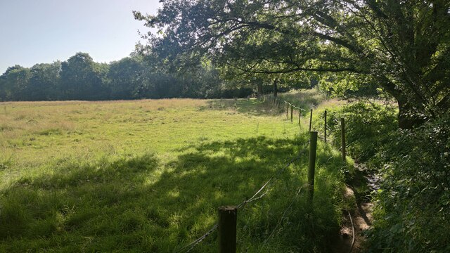
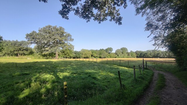
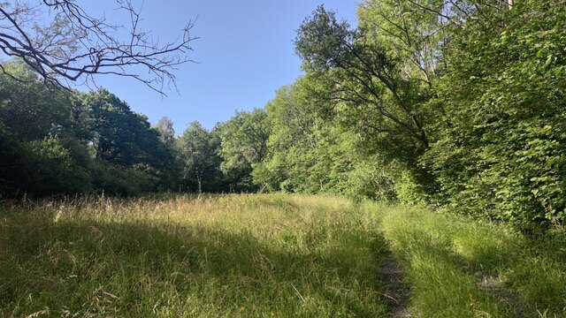
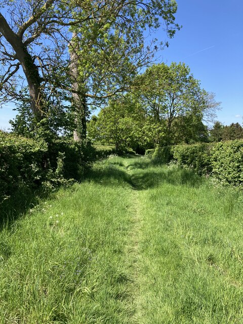
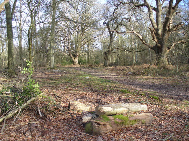
The common is primarily characterized by its dense woodland, which is dominated by a variety of deciduous trees such as oak, beech, and birch. These trees provide a lush canopy, creating a serene and picturesque atmosphere. The forest floor is covered in a carpet of ferns, mosses, and wildflowers, adding to the natural beauty of the area.
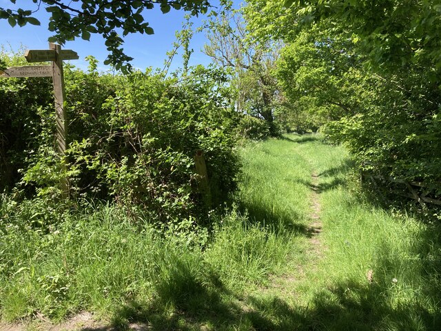
There are several well-marked footpaths that crisscross the common, allowing visitors to explore its various nooks and crannies. These paths offer a chance to discover hidden ponds, meadows, and clearings, providing ample opportunities for wildlife spotting. Common species that can be observed include squirrels, rabbits, and an array of bird species, including woodpeckers and songbirds.
Little Bookham Common is also home to a diverse range of plant life. Bluebells, primroses, and wild garlic are just a few of the many wildflowers that bloom throughout the seasons, creating a vibrant and colorful display.
In addition to its natural beauty, the common also has historical significance. It is believed to have been used as a hunting ground by the Tudor monarchs, and remnants of ancient boundary markers can still be found within the forest.
Overall, Little Bookham Common offers a tranquil and idyllic setting, making it a perfect destination for those seeking a peaceful retreat in nature.
If you have any feedback on the listing, please let us know in the comments section below.
Little Bookham Common Images
Images are sourced within 2km of 51.293153/-0.39063532 or Grid Reference TQ1256. Thanks to Geograph Open Source API. All images are credited.

Little Bookham Common is located at Grid Ref: TQ1256 (Lat: 51.293153, Lng: -0.39063532)
Administrative County: Surrey
District: Mole Valley
Police Authority: Surrey
What 3 Words
///itself.putty.nuns. Near Great Bookham, Surrey
Related Wikis
Bookham Commons
Bookham Commons are two commons, situated just to the north of the villages of Great Bookham and Little Bookham, in Surrey, England, 154.7 hectares (382...

Bookham railway station
Bookham railway station is in the village of Great Bookham in Surrey, England. It also serves the adjacent village of Little Bookham. It is 20 miles...

Little Bookham
Little Bookham is a small, historic village in Surrey, England between Great Bookham and Effingham. It is home to several listed historical buildings,...

Bookham Lodge
The Grange is a gothic regency manor house in Stoke d'Abernon, Surrey that dates back to the 15th Century. It was part of the Eastwick Manor estate and...
Yehudi Menuhin School
The Yehudi Menuhin School is a specialist music school in Stoke d'Abernon, Surrey, England, founded in 1963 by violinist and conductor Yehudi Menuhin....

Eastwick Park
Eastwick Park, also Eastwich Park, at Great Bookham in Surrey, England (for the period 1726–1958) was the family seat of the Howards of Effingham for about...

Cobham MSA
Cobham services is a motorway service area on the M25 motorway in Surrey between junctions 9 and 10. It is operated by Extra MSA and was opened for business...

Effingham Junction Traincare depot
Effingham Junction Traincare depot stables Class 455 electric multiple units operated by South Western Railway. It is mainly a train shed, but it is classed...
Related Videos

ALPACA WALKING
For more information please visit our website: http://www.tapfarm.net/alpaca.htm.
Great Bookham, Surrey.
A walk around Great Bookham, Surrey, UK. #walking #surrey #uk #dog.

A place called bookham where is this place in the U.K. ? ||travel Vlog #exoticvampyJ
Where is this place ? A place called bookham a village within Surrey UK it's in the Southeast of England it's neighbouring town is ...
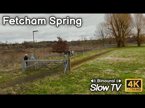
Walking Cobham Road in Fetcham - 4K 60fps HDR
Back in February I went exploring Fetcham Splash near Leatherhead, Surrey, UK: https://youtu.be/Gn4TXHLSZiY This video is the ...
Nearby Amenities
Located within 500m of 51.293153,-0.39063532Have you been to Little Bookham Common?
Leave your review of Little Bookham Common below (or comments, questions and feedback).