Five Acres
Wood, Forest in Hertfordshire St. Albans
England
Five Acres
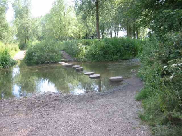
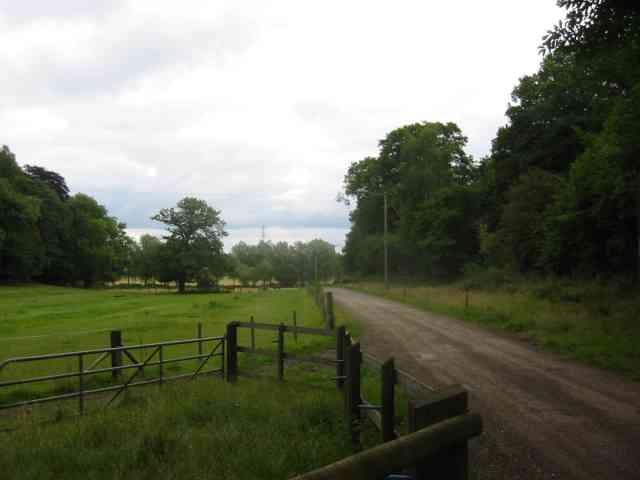
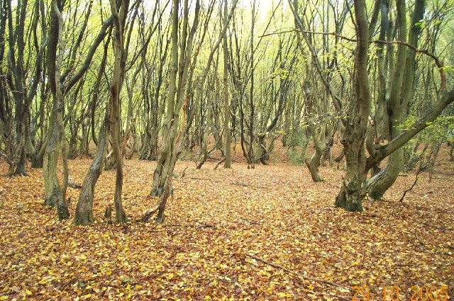
Five Acres is a woodland area located in Hertfordshire, England. Situated within the county's beautiful countryside, this forested expanse spans approximately five acres, hence its name. It is a popular destination for nature enthusiasts, hikers, and those seeking a tranquil retreat.
The woodland is characterized by a diverse range of tree species, including oak, beech, birch, and pine, creating a rich and vibrant ecosystem. The trees provide a canopy that offers shade during the warmer months and transforms into a breathtaking display of colors during autumn. The forest floor is adorned with a tapestry of native wildflowers, ferns, and mosses, enhancing the natural beauty of the area.
Five Acres boasts several well-maintained walking trails that allow visitors to explore the forest's enchanting surroundings. These pathways wind through the trees, offering glimpses of wildlife such as squirrels, rabbits, and various bird species. The forest's peaceful ambiance also makes it an ideal spot for birdwatching.
The woodland is easily accessible, with a small parking area available for visitors. Additionally, there are picnic tables scattered throughout the area, encouraging visitors to relax and enjoy the serene atmosphere. Five Acres is a designated nature reserve, ensuring its protection and preservation for future generations to enjoy.
Overall, Five Acres in Hertfordshire is a picturesque and serene woodland, providing a welcome escape from the hustle and bustle of everyday life. Its natural beauty, diverse flora and fauna, and well-maintained trails make it a must-visit destination for nature lovers and outdoor enthusiasts alike.
If you have any feedback on the listing, please let us know in the comments section below.
Five Acres Images
Images are sourced within 2km of 51.710953/-0.36919189 or Grid Reference TL1202. Thanks to Geograph Open Source API. All images are credited.
Five Acres is located at Grid Ref: TL1202 (Lat: 51.710953, Lng: -0.36919189)
Administrative County: Hertfordshire
District: St. Albans
Police Authority: Hertfordshire
What 3 Words
///wanted.noon.shock. Near Abbots Langley, Hertfordshire
Nearby Locations
Related Wikis
Bricket Wood coven
The Bricket Wood coven, or Hertfordshire coven is a coven of Gardnerian witches founded in the 1940s by Gerald Gardner. It is notable for being the first...
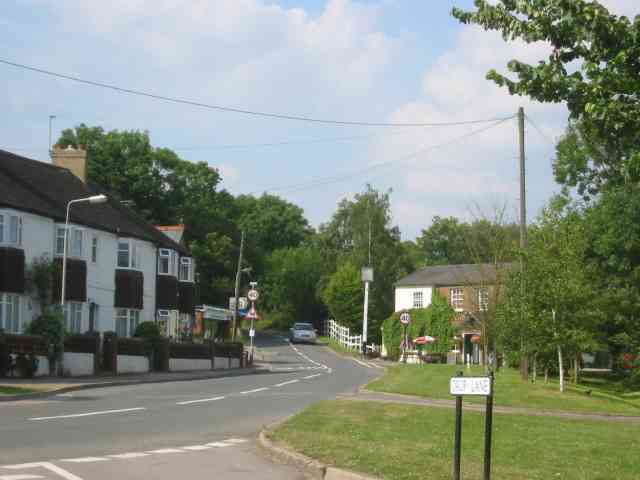
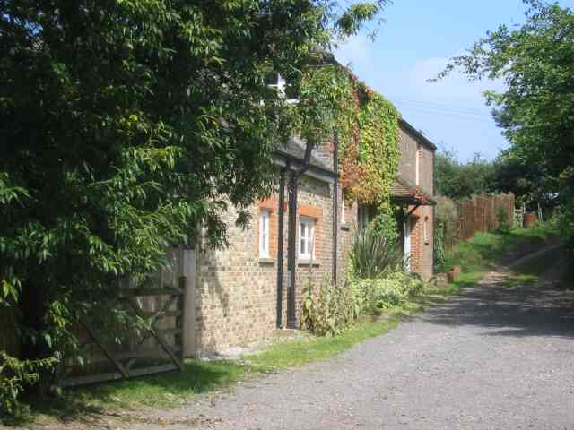
Bricket Wood
Bricket Wood is a village in the county of Hertfordshire, England, 4.2 miles (6.8 km) south of St Albans city centre (though in said city's contiguous...
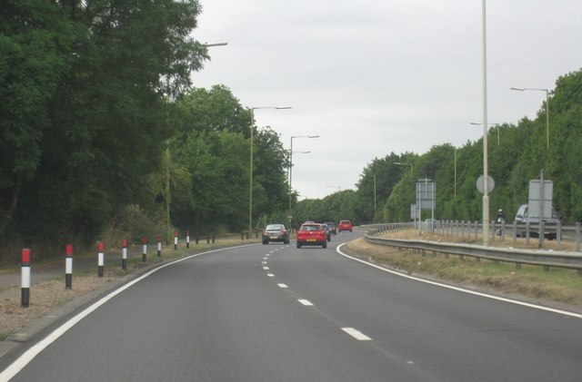
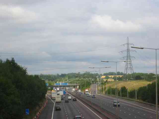
A405 road
The A405 is a 4.8 miles (7.7 km) dual carriageway road in Hertfordshire, England, from the A41 at Leavesden Green, near Watford, to the A414 at Park Street...
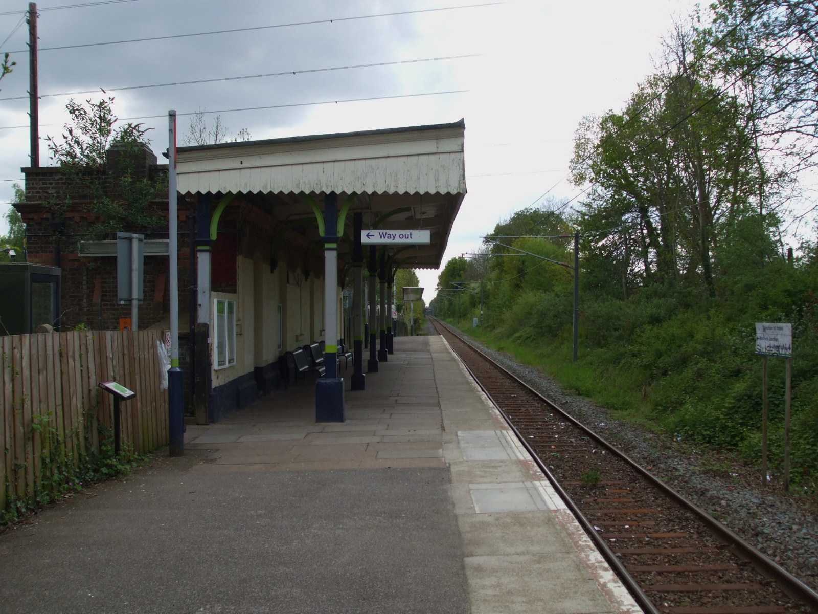
Bricket Wood railway station
Bricket Wood railway station is in the village of Bricket Wood, Hertfordshire, England, on the Abbey Line 31⁄4 miles (5 km) east of Watford Junction. The...

Abbey Line
The Abbey Line, also called the St Albans Abbey branch line, is a railway line from Watford Junction to St Albans Abbey. The 6.5-mile (10.5 km) route passes...

Spielplatz
Spielplatz (German for playground) is the longest-operating naturist resort in United Kingdom, and consists of 12 acres (4.9 ha) located in the village...
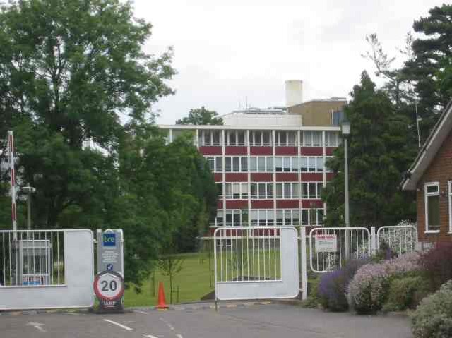
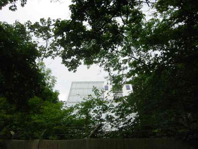
Building Research Establishment
The Building Research Establishment (BRE) is a centre of building science in the United Kingdom, owned by charitable organisation the BRE Trust. It is...

Moor Mill Quarry, West
Moor Mill Quarry, West is a 0.16-hectare (0.40-acre) geological Site of Special Scientific Interest in How Wood in Hertfordshire. The local planning authority...
Nearby Amenities
Located within 500m of 51.710953,-0.36919189Have you been to Five Acres?
Leave your review of Five Acres below (or comments, questions and feedback).