Bricket Wood
Wood, Forest in Hertfordshire St. Albans
England
Bricket Wood
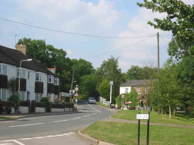
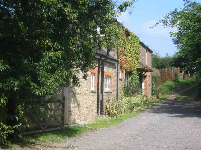
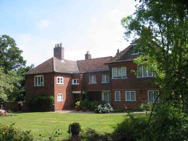
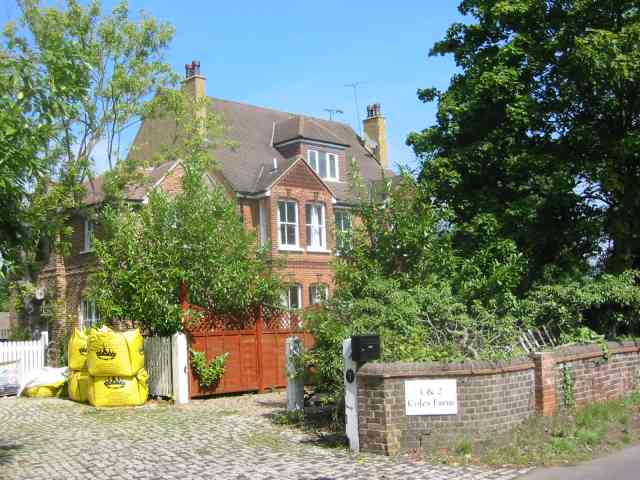
Bricket Wood is a small village located in the county of Hertfordshire, England. Situated approximately 21 miles northwest of London, it is a part of the St Albans district. The village is nestled within a picturesque woodland area, which gives it its name and adds to its tranquil and scenic appeal.
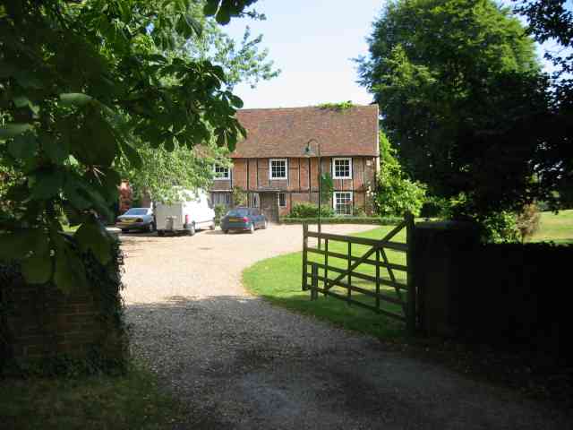
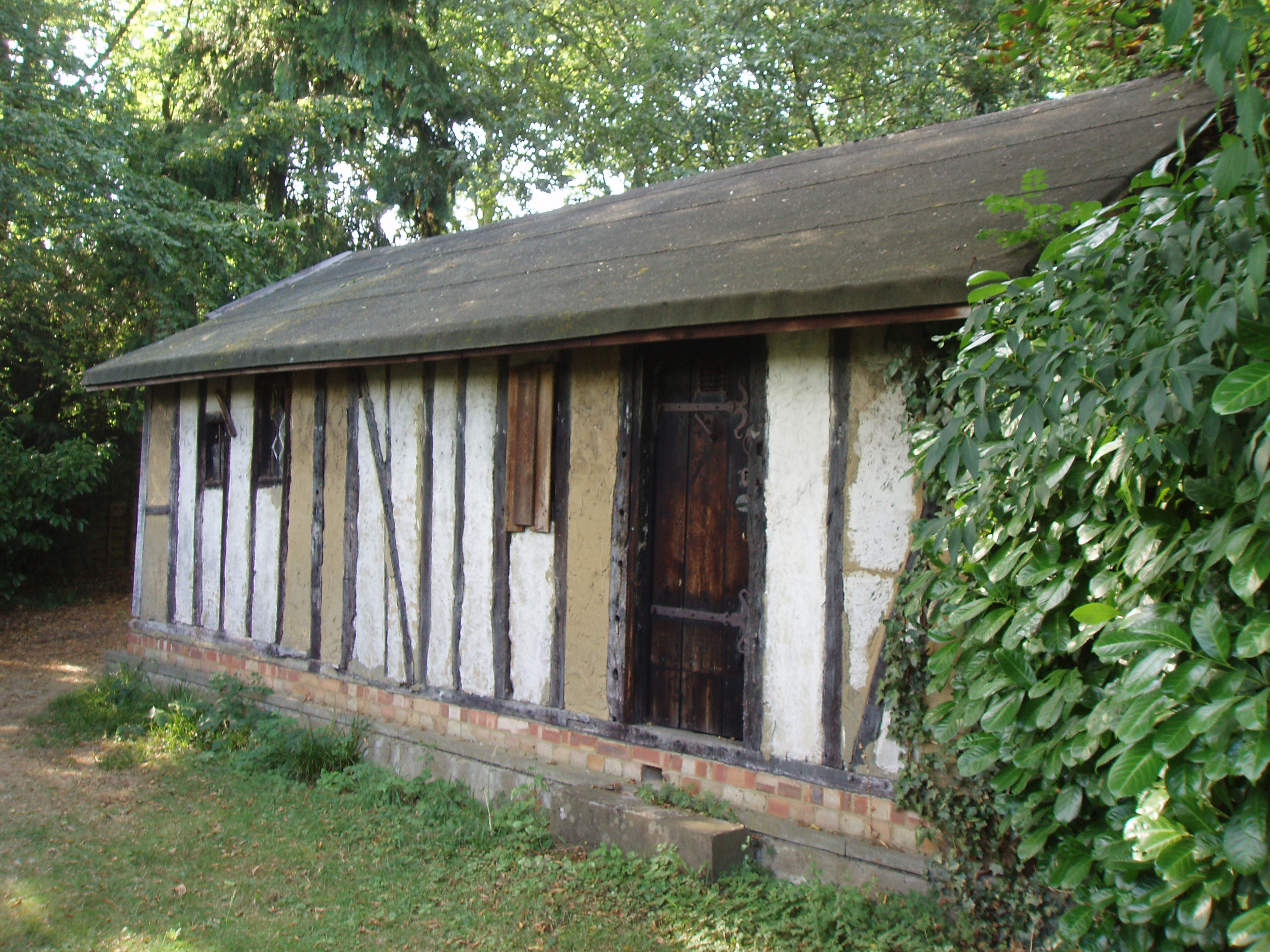
Despite its relatively small size, Bricket Wood boasts a rich history that dates back centuries. The village is believed to have been inhabited since the Roman era, with evidence of Roman pottery and coins found in the surrounding area. Throughout the years, it has undergone various changes, evolving from a predominantly agricultural community to a residential area.
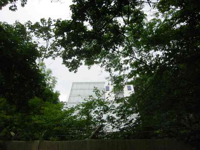
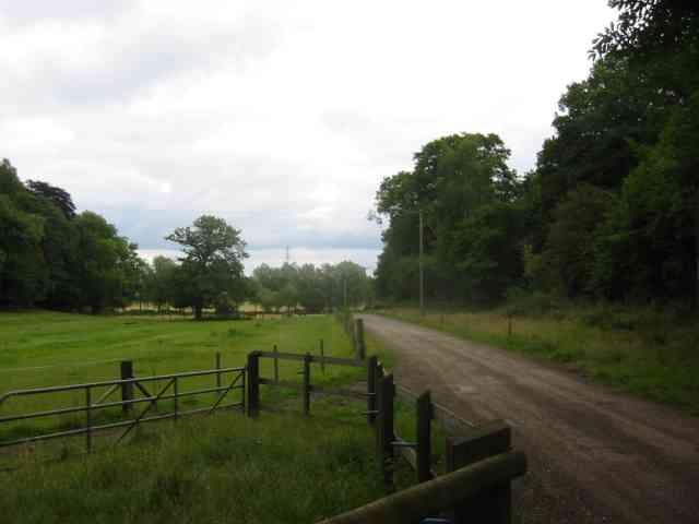
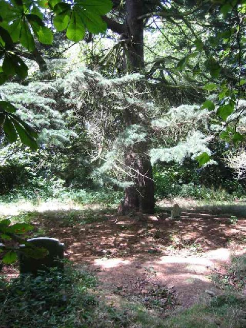
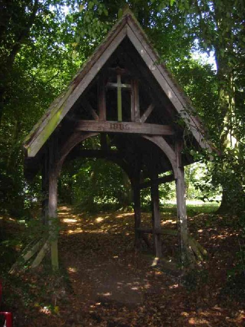
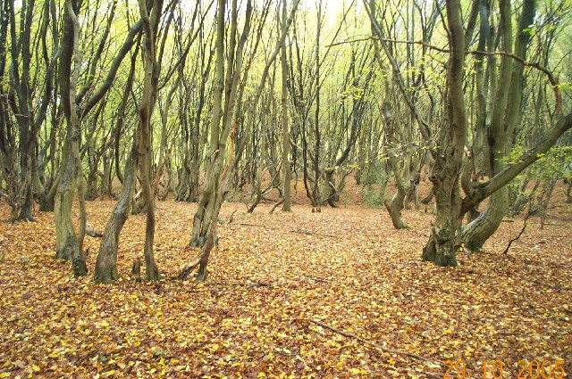
Today, Bricket Wood is a vibrant village that offers a peaceful retreat from the hustle and bustle of nearby urban areas. It is known for its lush greenery, with an abundance of trees and woodland areas that make it a haven for nature enthusiasts. The village is home to several nature reserves, including the Bricket Wood Common and the Butterfly World Project, which attract visitors from near and far.
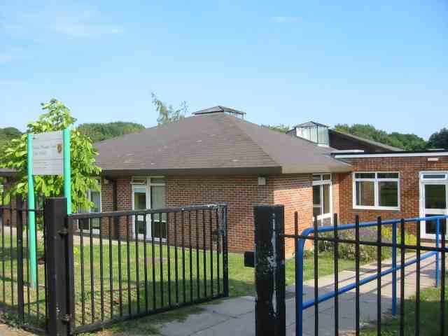
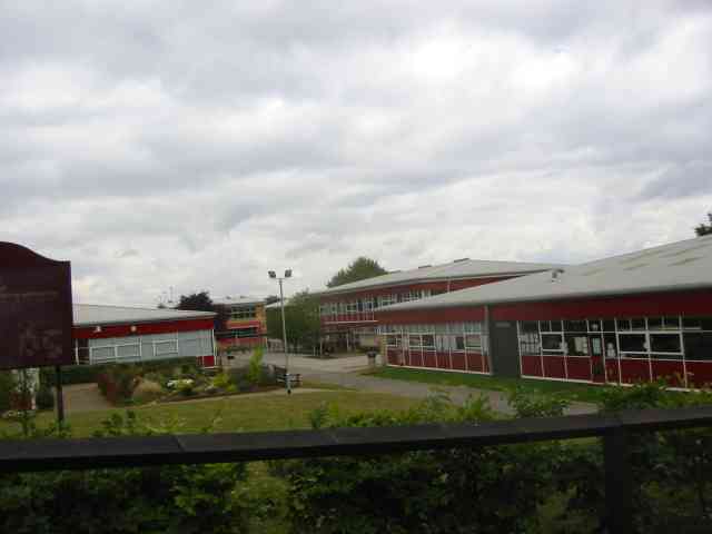
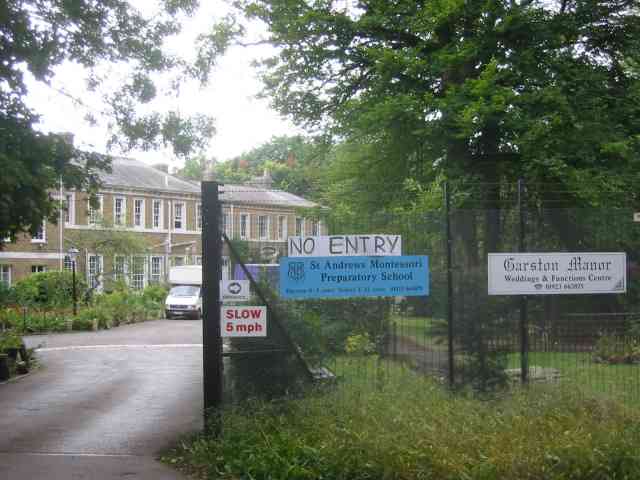
In terms of amenities, Bricket Wood offers a range of facilities to cater to its residents. These include a primary school, a community center, local shops, and a pub. The village is also well-connected, with good transport links to nearby towns and cities, including St Albans and Watford.
Overall, Bricket Wood is a charming village that combines natural beauty with a sense of community. Its idyllic woodland surroundings and historical significance make it an appealing place to live or visit.
If you have any feedback on the listing, please let us know in the comments section below.
Bricket Wood Images
Images are sourced within 2km of 51.709276/-0.37669176 or Grid Reference TL1202. Thanks to Geograph Open Source API. All images are credited.
Bricket Wood is located at Grid Ref: TL1202 (Lat: 51.709276, Lng: -0.37669176)
Administrative County: Hertfordshire
District: St. Albans
Police Authority: Hertfordshire
What 3 Words
///votes.frozen.obey. Near Abbots Langley, Hertfordshire
Nearby Locations
Related Wikis
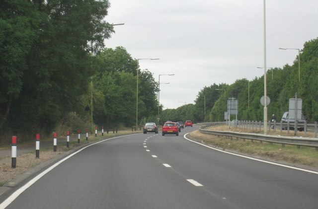
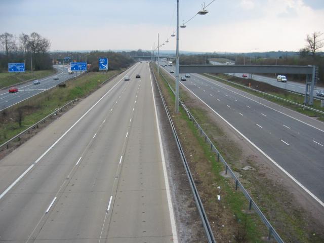
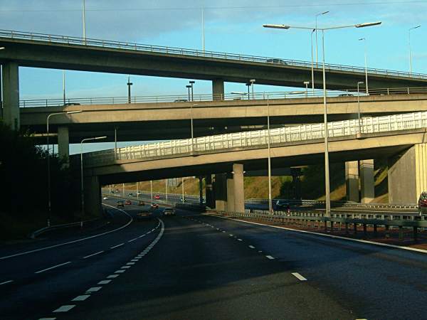
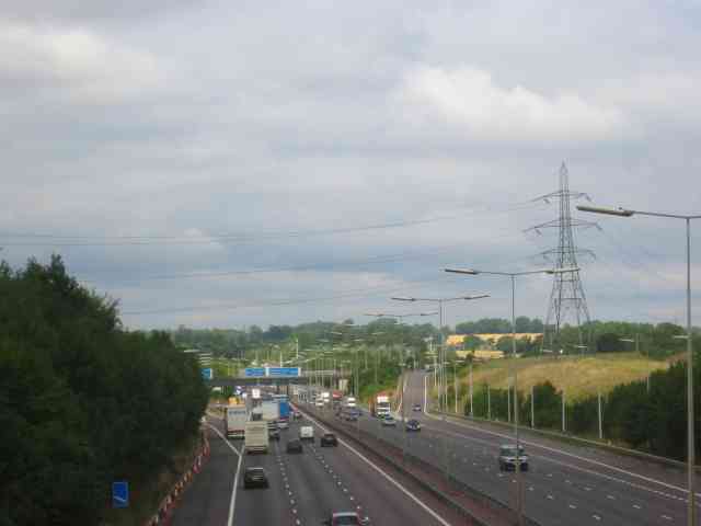
A405 road
The A405 is a 4.8 miles (7.7 km) dual carriageway road in Hertfordshire, England, from the A41 at Leavesden Green, near Watford, to the A414 at Park Street...
Bricket Wood coven
The Bricket Wood coven, or Hertfordshire coven is a coven of Gardnerian witches founded in the 1940s by Gerald Gardner. It is notable for being the first...
Bricket Wood
Bricket Wood is a village in the county of Hertfordshire, England, 4.2 miles (6.8 km) south of St Albans city centre (though in said city's contiguous...
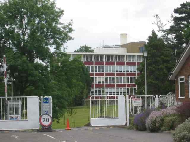
Building Research Establishment
The Building Research Establishment (BRE) is a centre of building science in the United Kingdom, owned by charitable organisation the BRE Trust. It is...

Parmiter's School
Parmiter's School is a co-educational state comprehensive school with academy status in Garston, Hertfordshire, close to the outskirts of North West London...
St Michael's Catholic High School
Saint Michael's Catholic High School is a co-educational secondary school and sixth form located in the town of Watford, Hertfordshire. In September 2010...

Abbey Line
The Abbey Line, also called the St Albans Abbey branch line, is a railway line from Watford Junction to St Albans Abbey. The 6.5-mile (10.5 km) route passes...
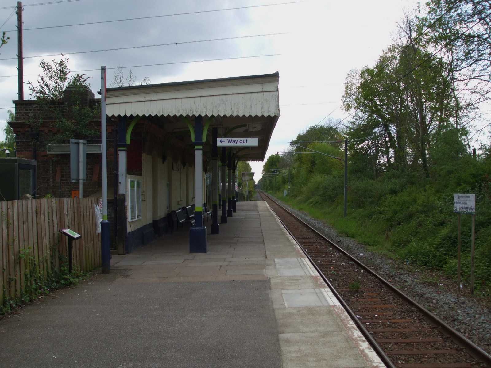
Bricket Wood railway station
Bricket Wood railway station is in the village of Bricket Wood, Hertfordshire, England, on the Abbey Line 31⁄4 miles (5 km) east of Watford Junction. The...
Nearby Amenities
Located within 500m of 51.709276,-0.37669176Have you been to Bricket Wood?
Leave your review of Bricket Wood below (or comments, questions and feedback).