West Belt Wood

Wood, Forest in Yorkshire Ryedale

England

West Belt Wood

Farmland near Pasture Farm
Farmland near Pasture Farm Credit: JThomas

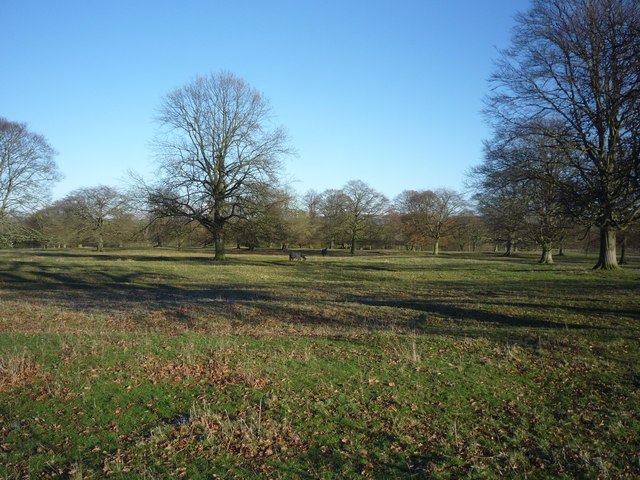
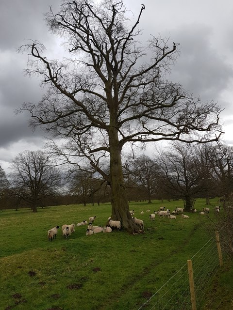
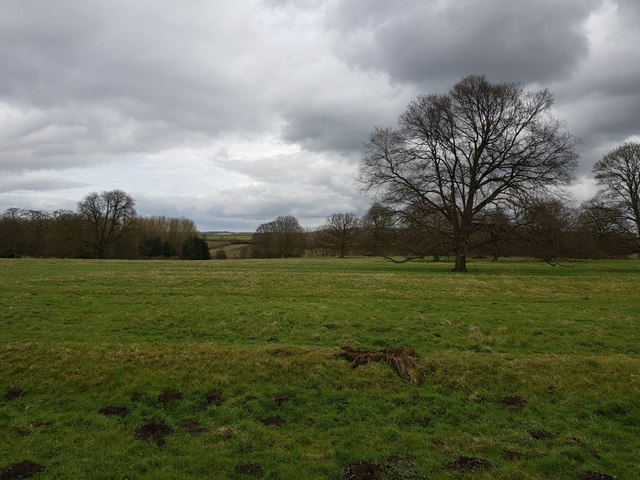
West Belt Wood is a picturesque forest located in the county of Yorkshire, England. With a sprawling area of approximately 250 acres, it is a significant natural resource within the region. The wood is situated on the western edge of the county, providing a stunning backdrop of lush greenery and woodland scenery.

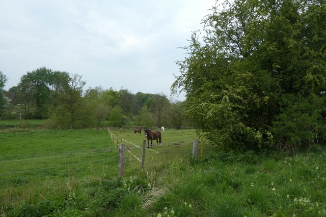
The forest is predominantly composed of various species of broadleaf trees, including oak, beech, ash, and birch, creating a diverse and vibrant ecosystem. The dense foliage provides a habitat for a wide array of wildlife, such as deer, squirrels, foxes, and a rich assortment of bird species.

West Belt Wood offers visitors a tranquil and serene environment, making it a popular destination for nature enthusiasts, hikers, and wildlife photographers. The forest features well-maintained footpaths and trails that wind through the trees, allowing visitors to explore and immerse themselves in the natural beauty of the wood. The peaceful atmosphere and the soothing sounds of rustling leaves and chirping birds make it an ideal escape from the hustle and bustle of city life.

In addition to its natural beauty, West Belt Wood also serves as an important educational resource. It offers various educational programs and guided tours for schools and community groups, aiming to raise awareness about the importance of forests and their role in sustaining the environment.

Overall, West Belt Wood in Yorkshire is a captivating forest that showcases the beauty of nature, providing a sanctuary for wildlife and a peaceful retreat for visitors.

If you have any feedback on the listing, please let us know in the comments section below.

West Belt Wood Images

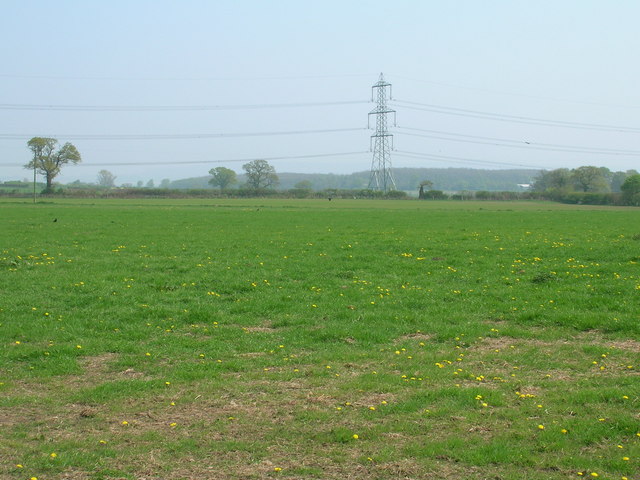
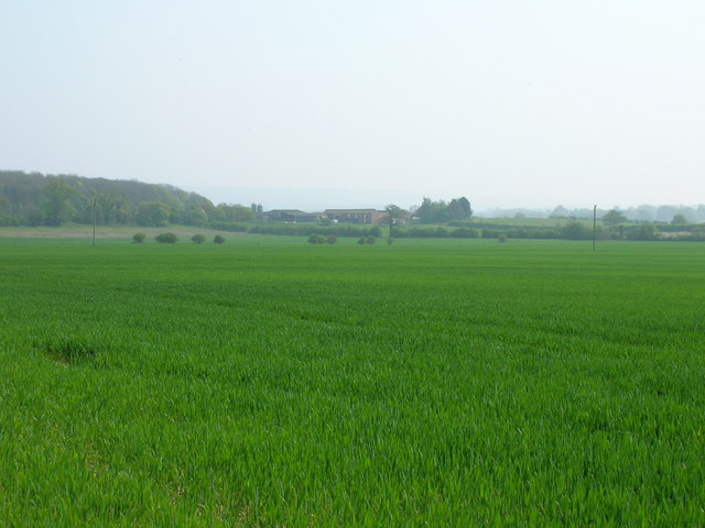
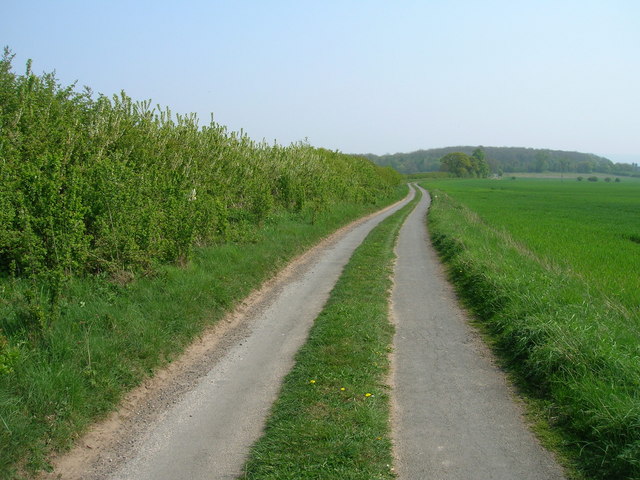
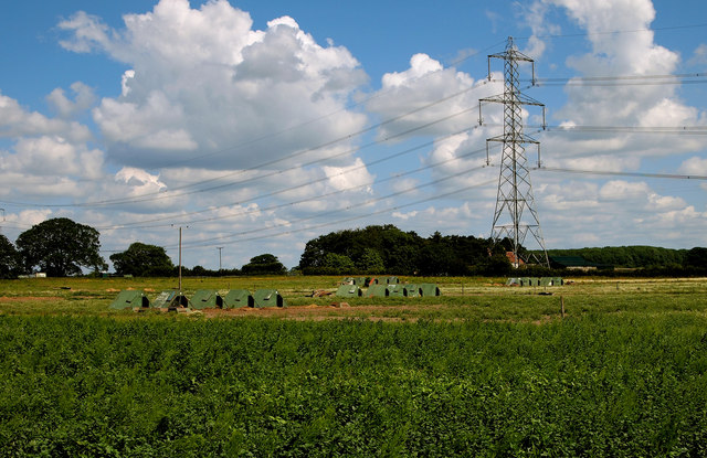
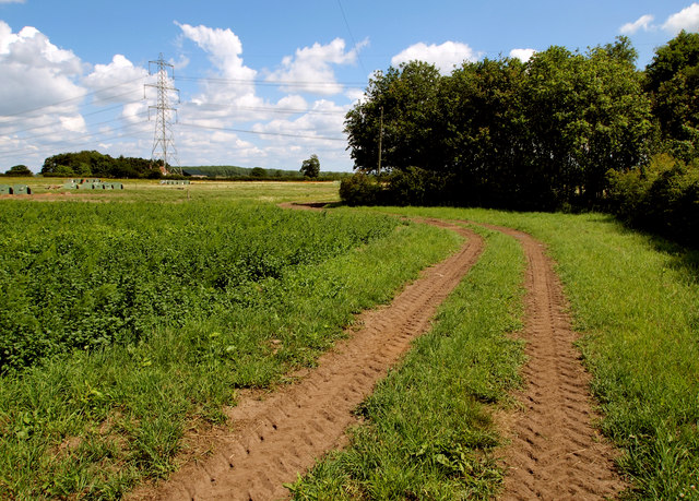
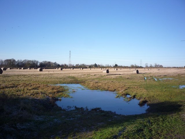
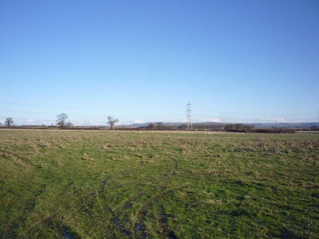
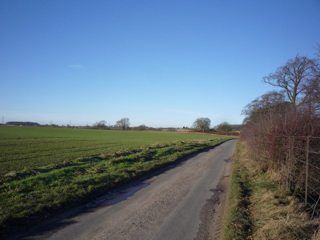
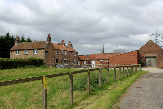
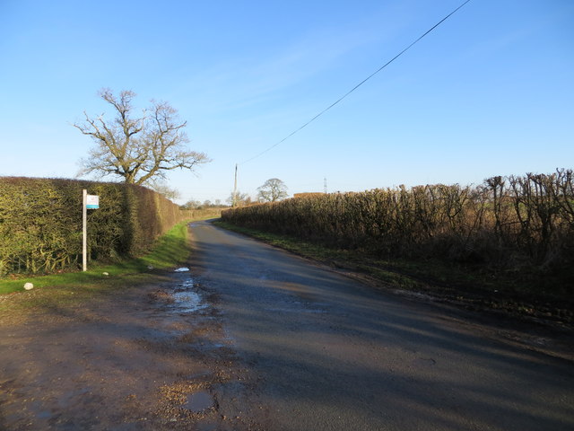
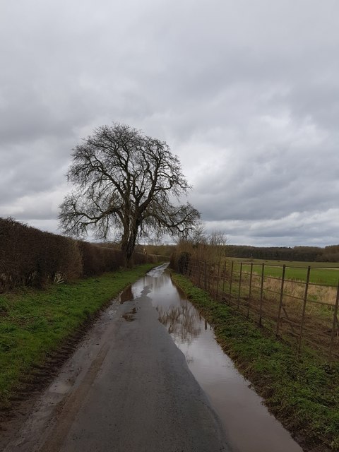
Images are sourced within 2km of 54.031732/-0.90363494 or Grid Reference SE7160. Thanks to Geograph Open Source API. All images are credited.

Farmland near Pasture Farm
Farmland looking towards Woodhouse Farm
Minor road towards Woodhouse Farm
Farmland near Buttercrambe Moor This is typical scenery for this part of the Vale of York.  The free-range pigs seemed happy with their lot.

I managed to access this private land by buying some fresh asparagus and strawberries from the Low Moor Farm shop (the produce was second to none and worth the detour!).  I asked the farmer for permission to take this photograph on land just east of the farm after explaining the purpose behind 'Geograph' and he duly obliged.  Thanks!
Farmland near Buttercrambe Moor
This is typical scenery for this part of the Vale of York. The free-range pigs seemed happy with their lot. I managed to access this private land by buying some fresh asparagus and strawberries from the Low Moor Farm shop (the produce was second to none and worth the detour!). I asked the farmer for permission to take this photograph on land just east of the farm after explaining the purpose behind 'Geograph' and he duly obliged. Thanks!
Farm Track East of Low Moor Farm This is typical scenery for this part of the Vale of York.

I managed to access this private land by buying some fresh asparagus and strawberries from the Low Moor Farm shop (the produce was second to none and worth the detour!).  I asked the farmer for permission to take this photograph on land just east of the farm after explaining the purpose behind 'Geograph' and he duly obliged.  Thanks!
Farm Track East of Low Moor Farm
This is typical scenery for this part of the Vale of York. I managed to access this private land by buying some fresh asparagus and strawberries from the Low Moor Farm shop (the produce was second to none and worth the detour!). I asked the farmer for permission to take this photograph on land just east of the farm after explaining the purpose behind 'Geograph' and he duly obliged. Thanks!
Flooded field Looking into a flooded field from the Sand Hutton to Bossall road.
Flooded field
Looking into a flooded field from the Sand Hutton to Bossall road.
Fields near Aldby Field House Looking across to the Wolds in the distance.
Fields near Aldby Field House
Looking across to the Wolds in the distance.
Aldby Park Looking towards two horses in Aldby Park.
Aldby Park
Looking towards two horses in Aldby Park.
Road along Aldby Park Looking along the road heading to Bossall from Buttercrambe.
Road along Aldby Park
Looking along the road heading to Bossall from Buttercrambe.
The lane towards Toft Flats
Kissthorn Farm
Kissthorn Farm
Fields leading down to the Derwent
Minor road at the entrance to Pasture Farm Looking north-eastward.
Minor road at the entrance to Pasture Farm
Looking north-eastward.
Minor road approaching Wood House Farm Looking eastward.
Minor road approaching Wood House Farm
Looking eastward.
Flooded road Looking along a waterlogged road between Buttercrambe and Bossall.
Flooded road
Looking along a waterlogged road between Buttercrambe and Bossall.
Sheep under a tree Looking towards sheep sheltering under a tree at Aldby Park.
Sheep under a tree
Looking towards sheep sheltering under a tree at Aldby Park.
Parkland at Aldby Park Looking across some of the parkland.
Parkland at Aldby Park
Looking across some of the parkland.
Horses above the Derwent Looking across a field down towards the River Derwent.
Horses above the Derwent
Looking across a field down towards the River Derwent.
Show me another place!

West Belt Wood is located at Grid Ref: SE7160 (Lat: 54.031732, Lng: -0.90363494)

Division: North Riding

Administrative County: North Yorkshire

District: Ryedale

Police Authority: North Yorkshire

What 3 Words

///trials.arise.starring. Near Stamford Bridge, East Yorkshire

Related Wikis

Bossall

Bossall is a hamlet in North Yorkshire, England with fewer than 100 residents. The village was part of the Ryedale district between 1974 and 2023. It is...

Scrayingham

Scrayingham is a village and civil parish in North Yorkshire, England. It was historically part of the East Riding of Yorkshire until 1974. The population...

Aldby Park

Aldby Park is a country estate in the village of Buttercrambe near the village of Stamford Bridge in the East Riding of Yorkshire, England. The house,...

Harton, North Yorkshire

Harton is a village and civil parish in the Ryedale district of the county of North Yorkshire, England. The population of the civil parish was less than...

Nearby Amenities

Located within 500m of 54.031732,-0.90363494
The data included in this document is from www.openstreetmap.org. The data is made available under ODbL.

Have you been to West Belt Wood?

Leave your review of West Belt Wood below (or comments, questions and feedback).