Muscombe Copse
Wood, Forest in Hampshire East Hampshire
England
Muscombe Copse

Muscombe Copse is a picturesque woodland located in Hampshire, England. Covering an area of approximately 100 acres, it is known for its tranquil and natural beauty. The copse is situated near the village of Muscombe, and it serves as an important habitat for various flora and fauna species.
The woodland is predominantly made up of broadleaf trees, including oak, beech, and ash. These majestic trees create a dense canopy, providing shade and shelter for the diverse range of wildlife that call Muscombe Copse their home. It is not uncommon to spot woodland birds such as woodpeckers, owls, and thrushes, as well as small mammals like squirrels and badgers.
Walking through the copse, visitors can enjoy the peaceful ambiance and immerse themselves in the serenity of nature. The forest floor is covered in a thick carpet of moss, ferns, and wildflowers, adding to the enchanting atmosphere. The copse is crisscrossed by a network of footpaths, allowing visitors to explore different parts of the woodland and discover its hidden gems.
Muscombe Copse is a popular destination for nature enthusiasts and those seeking a quiet retreat. It offers opportunities for various outdoor activities, such as hiking, birdwatching, and photography. The copse is well-maintained and managed by local authorities to preserve its natural integrity and ensure its sustainability for future generations to enjoy.
If you have any feedback on the listing, please let us know in the comments section below.
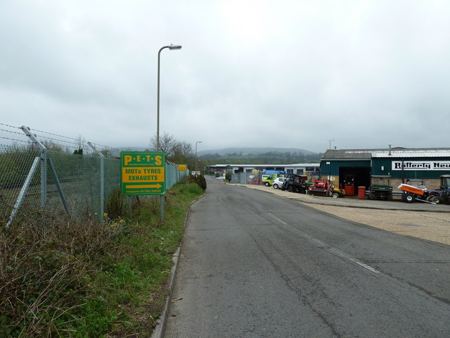
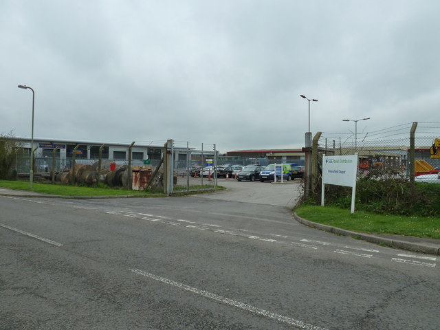
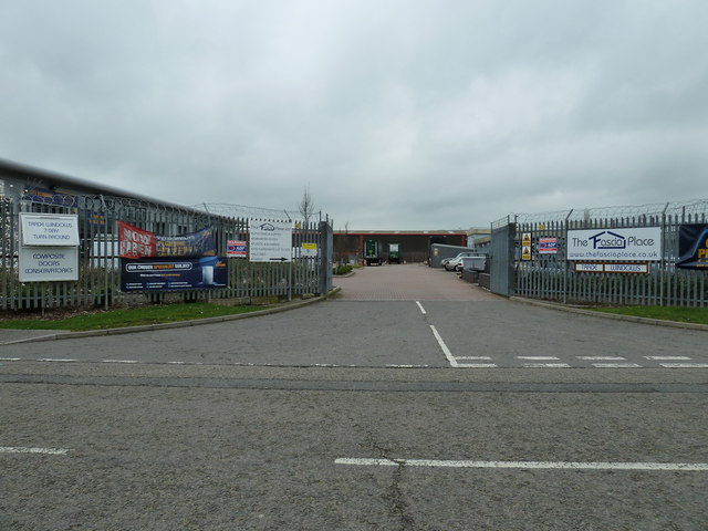
Muscombe Copse Images
Images are sourced within 2km of 50.995774/-0.97669733 or Grid Reference SU7122. Thanks to Geograph Open Source API. All images are credited.


Muscombe Copse is located at Grid Ref: SU7122 (Lat: 50.995774, Lng: -0.97669733)
Administrative County: Hampshire
District: East Hampshire
Police Authority: Hampshire
What 3 Words
///nutty.communal.gazes. Near Petersfield, Hampshire
Nearby Locations
Related Wikis

Weston, East Hampshire
Weston is a hamlet in the East Hampshire district of Hampshire, England. It is in the civil parish of Buriton. It is 1.4 miles (2.3 km) southwest of Petersfield...
Ramsdean
Ramsdean is a village in the East Hampshire district of Hampshire, England. It is 2.7 miles (4.3 km) west of Petersfield. The nearest railway station is...

Stroud, Hampshire
Stroud () is a village and civil parish in the East Hampshire district of Hampshire, England. It is 1.4 miles (2.3 km) west of Petersfield, on the A272...
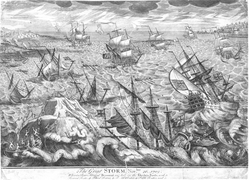
Great storm of 1703
The Great storm of 1703 was a destructive extratropical cyclone that struck central and southern England on 26 November 1703. High winds caused 2,000 chimney...

East Hampshire (UK Parliament constituency)
East Hampshire is a constituency represented in the House of Commons of the UK Parliament since 2010 by Damian Hinds of the Conservative Party.Further...
Langrish
Langrish is a village and civil parish in the East Hampshire district of Hampshire, England. It is next to the civil parish of Stroud and is 2.7 miles...

Butser Hill
Butser Hill is a hill and nature reserve in Hampshire, England. South-west of Petersfield, it is a 239.7-hectare (592-acre) biological and geological Site...
Pidham Hill
Pidham Hill is a hill in the county of Hampshire, England. The summit elevation is 699 feet (213 m) AMSL. Pidham Hill is about 2 kilometres east-northeast...
Nearby Amenities
Located within 500m of 50.995774,-0.97669733Have you been to Muscombe Copse?
Leave your review of Muscombe Copse below (or comments, questions and feedback).