Little Fields
Downs, Moorland in Yorkshire Ryedale
England
Little Fields

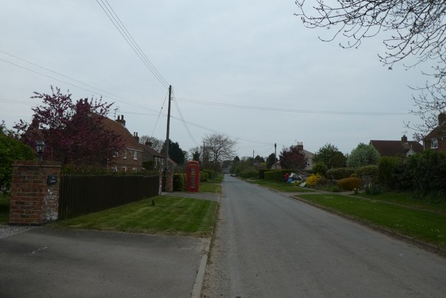
Little Fields is a picturesque village located in the heart of Yorkshire, England. It is nestled amidst the stunning landscapes of the Yorkshire Downs and Moorland, offering residents and visitors a tranquil and idyllic setting to retreat from the hustle and bustle of city life.
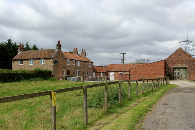
The village is characterized by its charming stone cottages, which exude a traditional and timeless appeal. The streets are lined with vibrant floral displays during the summer months, adding a splash of color to the already stunning surroundings. The local community takes great pride in maintaining the village's aesthetic appeal, resulting in a well-kept and visually pleasing environment.
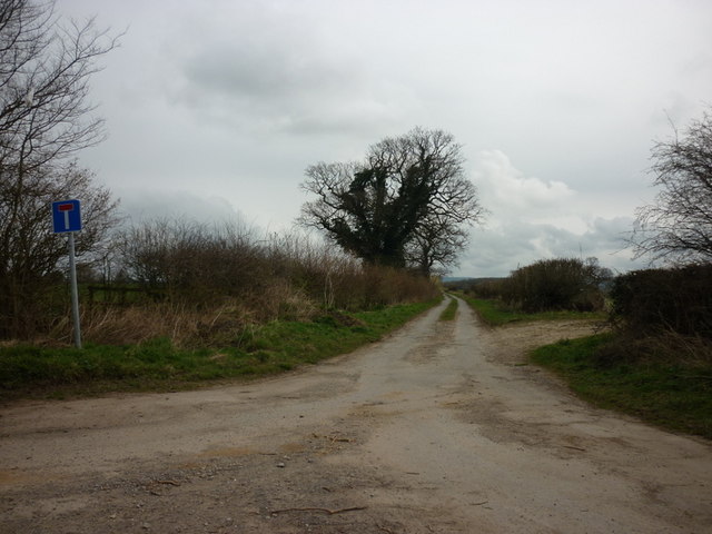
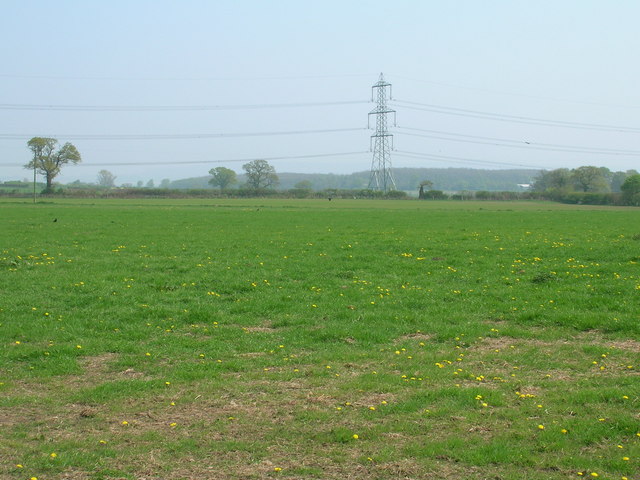
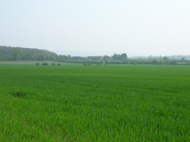
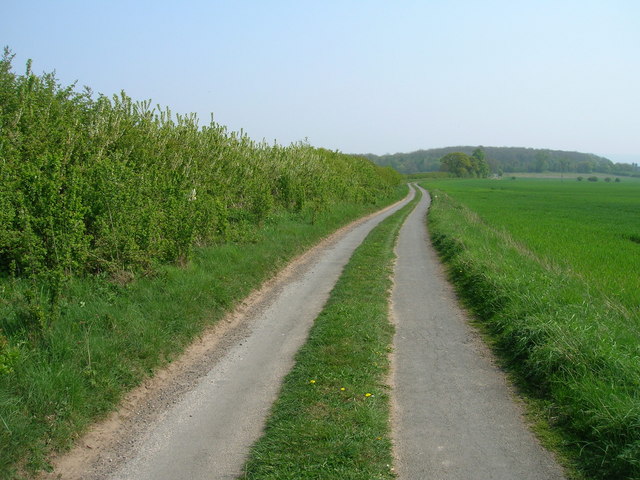
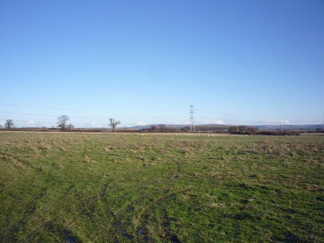
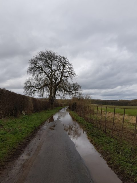
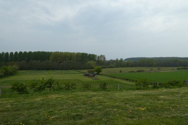
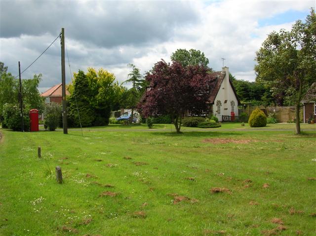
Surrounded by the vast expanse of the Yorkshire Downs and Moorland, Little Fields offers ample opportunities for outdoor enthusiasts and nature lovers. The rolling hills and expansive moors provide countless walking and hiking trails, allowing visitors to immerse themselves in the breathtaking beauty of the countryside. The area is also home to a rich variety of wildlife, from rare bird species to grazing sheep, making it an ideal spot for wildlife enthusiasts and photographers.
Despite its rural charm, Little Fields is well-connected to nearby towns and cities. The village benefits from regular bus services, ensuring easy access to amenities and attractions in the surrounding area. Additionally, a small range of local shops and amenities cater to the needs of residents and visitors alike.
In summary, Little Fields, Yorkshire (Downs, Moorland) is a captivating village that offers a blend of natural beauty, rural charm, and convenient connections. Its stunning landscapes, well-preserved cottages, and friendly community make it an appealing destination for those seeking a peaceful retreat in the heart of Yorkshire.
If you have any feedback on the listing, please let us know in the comments section below.
Little Fields Images
Images are sourced within 2km of 54.035994/-0.90578267 or Grid Reference SE7160. Thanks to Geograph Open Source API. All images are credited.


Little Fields is located at Grid Ref: SE7160 (Lat: 54.035994, Lng: -0.90578267)
Division: North Riding
Administrative County: North Yorkshire
District: Ryedale
Police Authority: North Yorkshire
What 3 Words
///unable.caused.thing. Near Stamford Bridge, East Yorkshire
Nearby Locations
Related Wikis

Bossall
Bossall is a hamlet in North Yorkshire, England with fewer than 100 residents. The village was part of the Ryedale district between 1974 and 2023. It is...

Scrayingham
Scrayingham is a village and civil parish in North Yorkshire, England. It was historically part of the East Riding of Yorkshire until 1974. The population...

Harton, North Yorkshire
Harton is a village and civil parish in the Ryedale district of the county of North Yorkshire, England. The population of the civil parish was less than...
Claxton, North Yorkshire
Claxton is a village and part of the Claxton & Sand Hutton civil parish in North Yorkshire, England. It is near the A64 road and 8 miles (13 km) north...

Aldby Park
Aldby Park is a country estate in the village of Buttercrambe near the village of Stamford Bridge in the East Riding of Yorkshire, England. The house,...

Howsham Mill
Howsham Mill is a Grade II listed 18th century watermill located on the River Derwent in North Yorkshire, England. == History == Howsham Mill dates back...
Buttercrambe Castle
Buttercrambe Castle was in the village of Buttercrambe in North Yorkshire, England. This was possibly a medieval motte-and-bailey castle. The bailey has...

Barton-le-Willows
Barton-le-Willows is a village and civil parish in North Yorkshire, England, situated near the River Derwent, about eight miles south-west of Malton....
Nearby Amenities
Located within 500m of 54.035994,-0.90578267Have you been to Little Fields?
Leave your review of Little Fields below (or comments, questions and feedback).