North Fields
Downs, Moorland in Yorkshire Ryedale
England
North Fields

North Fields is a picturesque region located in the county of Yorkshire, encompassing both the Downs and Moorland landscapes. Situated amidst the stunning countryside of Northern England, this area is renowned for its natural beauty and diverse topography.
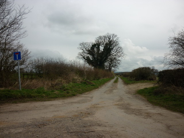
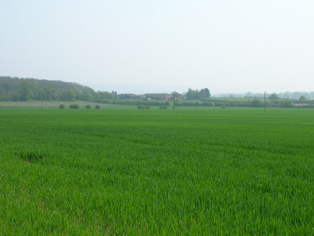
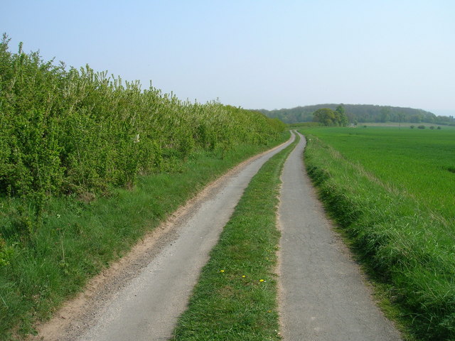
The Downs, characterized by rolling hills and expansive grasslands, offer breathtaking panoramic views of the surrounding countryside. These open spaces provide a haven for wildlife, including various bird species and grazing animals such as sheep and cows. The Downs are also home to a network of walking and hiking trails, making it a popular destination for outdoor enthusiasts and nature lovers.
In contrast, the Moorland in North Fields showcases a rugged and wild terrain. This landscape is defined by vast stretches of open heather moors, interspersed with rocky outcrops and peat bogs. The Moorland provides a unique habitat for a range of flora and fauna, including heather, bilberry bushes, and numerous bird species such as grouse and curlews.
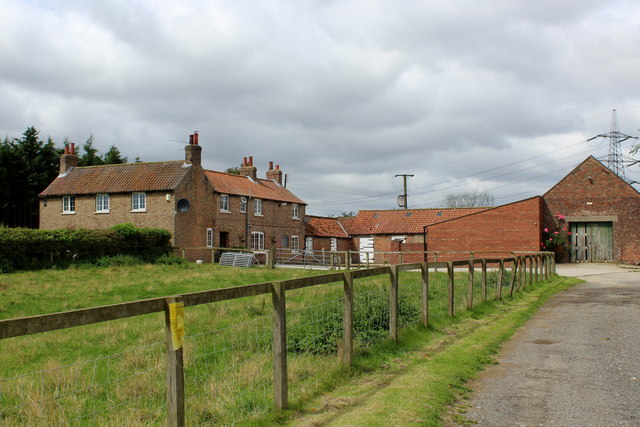
The region of North Fields offers a tranquil escape from the hustle and bustle of urban life. Visitors can immerse themselves in the natural splendor of the countryside, enjoy long walks across the Downs, or explore the untamed beauty of the Moorland. Additionally, the area is dotted with charming villages and historic landmarks, adding cultural richness to the experience.
Overall, North Fields in Yorkshire is a captivating destination that showcases the diverse landscapes of the Downs and Moorland, offering a perfect blend of natural beauty, outdoor activities, and cultural exploration.
If you have any feedback on the listing, please let us know in the comments section below.
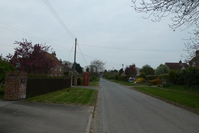
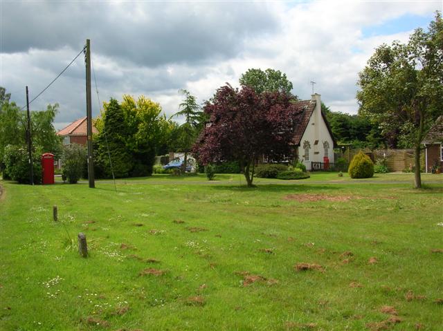
North Fields Images
Images are sourced within 2km of 54.039582/-0.90591752 or Grid Reference SE7160. Thanks to Geograph Open Source API. All images are credited.


North Fields is located at Grid Ref: SE7160 (Lat: 54.039582, Lng: -0.90591752)
Division: North Riding
Administrative County: North Yorkshire
District: Ryedale
Police Authority: North Yorkshire
What 3 Words
///wasps.final.voter. Near Stamford Bridge, East Yorkshire
Nearby Locations
Related Wikis

Bossall
Bossall is a hamlet in North Yorkshire, England with fewer than 100 residents. The village was part of the Ryedale district between 1974 and 2023. It is...

Harton, North Yorkshire
Harton is a village and civil parish in the Ryedale district of the county of North Yorkshire, England. The population of the civil parish was less than...

Scrayingham
Scrayingham is a village and civil parish in North Yorkshire, England. It was historically part of the East Riding of Yorkshire until 1974. The population...

Howsham Mill
Howsham Mill is a Grade II listed 18th century watermill located on the River Derwent in North Yorkshire, England. == History == Howsham Mill dates back...

Barton-le-Willows
Barton-le-Willows is a village and civil parish in North Yorkshire, England, situated near the River Derwent, about eight miles south-west of Malton....
Claxton, North Yorkshire
Claxton is a village and part of the Claxton & Sand Hutton civil parish in North Yorkshire, England. It is near the A64 road and 8 miles (13 km) north...

Aldby Park
Aldby Park is a country estate in the village of Buttercrambe near the village of Stamford Bridge in the East Riding of Yorkshire, England. The house,...
Howsham, North Yorkshire
Howsham is a village and civil parish in North Yorkshire, England. It is home to a small parish church and Howsham Hall. Howsham appeared as Husun in...
Nearby Amenities
Located within 500m of 54.039582,-0.90591752Have you been to North Fields?
Leave your review of North Fields below (or comments, questions and feedback).