Dallicarrs Belt
Wood, Forest in Yorkshire Ryedale
England
Dallicarrs Belt
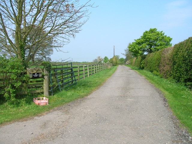
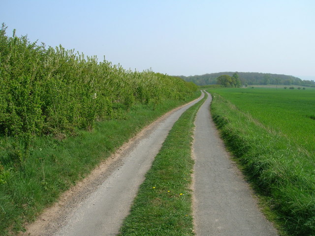
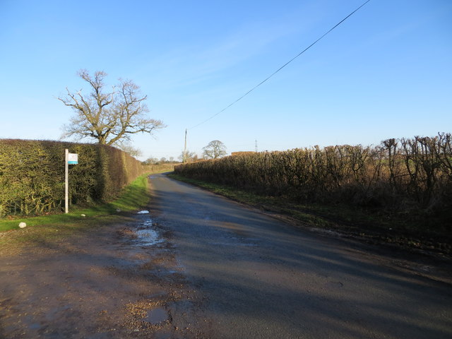
Dallicarrs Belt is a woodland area located in the county of Yorkshire, England. Situated near the village of Wood, it forms part of the larger Dallicarrs Forest, which spans several square kilometers. The woodland is known for its rich biodiversity and is a popular destination for nature enthusiasts and hikers.
This ancient woodland is characterized by its dense canopy, which mainly consists of oak, beech, and birch trees. The forest floor is covered in a carpet of wildflowers, adding to the area's natural beauty. The diverse range of plant species creates a habitat that supports a variety of wildlife, including deer, foxes, and numerous bird species.
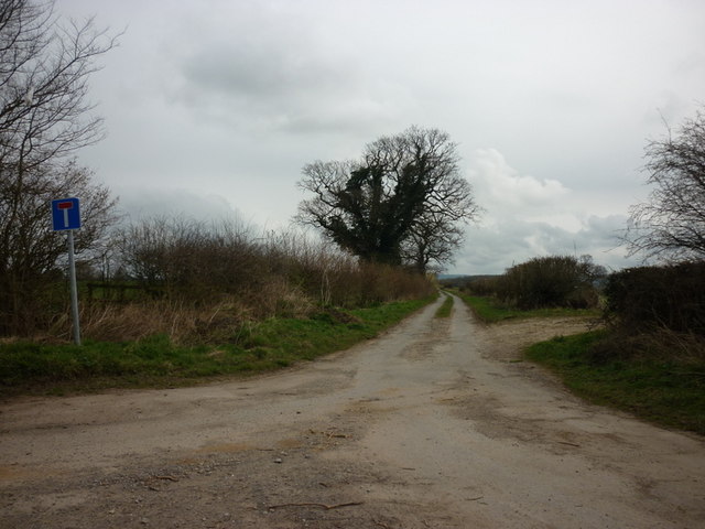
The woodland is intersected by several footpaths and trails, making it accessible for both casual walkers and more experienced hikers. These paths offer opportunities to explore the woodland's different sections and enjoy the tranquil surroundings. Along the way, visitors may come across hidden streams and small ponds, adding to the charm of the area.
Dallicarrs Belt also has historical significance, with remnants of old settlements and archaeological sites scattered throughout the forest. These sites provide insight into the area's past and add an element of intrigue for history enthusiasts.
Overall, Dallicarrs Belt in Yorkshire is a picturesque woodland that offers a peaceful retreat for those seeking a connection with nature. With its diverse flora and fauna, scenic trails, and historical features, it is a place that appeals to a wide range of visitors.
If you have any feedback on the listing, please let us know in the comments section below.
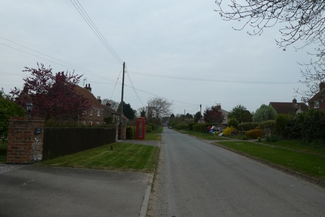
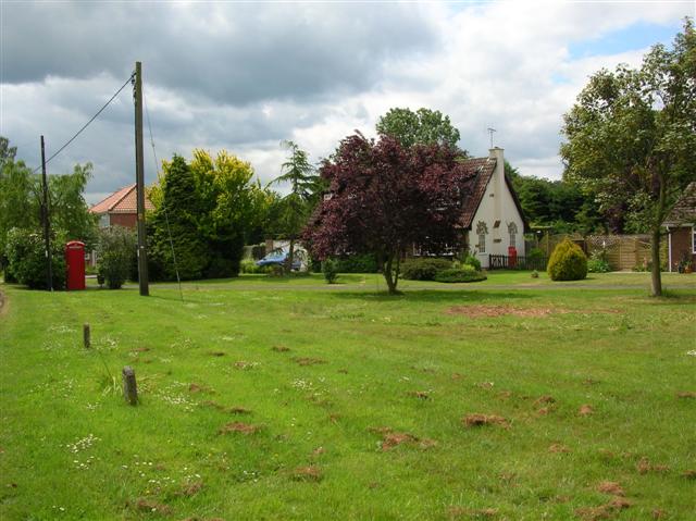
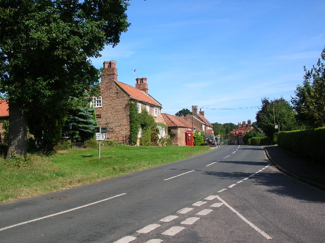
Dallicarrs Belt Images
Images are sourced within 2km of 54.038121/-0.91035363 or Grid Reference SE7160. Thanks to Geograph Open Source API. All images are credited.


Dallicarrs Belt is located at Grid Ref: SE7160 (Lat: 54.038121, Lng: -0.91035363)
Division: North Riding
Administrative County: North Yorkshire
District: Ryedale
Police Authority: North Yorkshire
What 3 Words
///wake.admires.listen. Near Stamford Bridge, East Yorkshire
Nearby Locations
Related Wikis

Bossall
Bossall is a hamlet in North Yorkshire, England with fewer than 100 residents. The village was part of the Ryedale district between 1974 and 2023. It is...

Harton, North Yorkshire
Harton is a village and civil parish in the Ryedale district of the county of North Yorkshire, England. The population of the civil parish was less than...

Scrayingham
Scrayingham is a village and civil parish in North Yorkshire, England. It was historically part of the East Riding of Yorkshire until 1974. The population...
Claxton, North Yorkshire
Claxton is a village and part of the Claxton & Sand Hutton civil parish in North Yorkshire, England. It is near the A64 road and 8 miles (13 km) north...

Howsham Mill
Howsham Mill is a Grade II listed 18th century watermill located on the River Derwent in North Yorkshire, England. == History == Howsham Mill dates back...

Barton-le-Willows
Barton-le-Willows is a village and civil parish in North Yorkshire, England, situated near the River Derwent, about eight miles south-west of Malton....

Aldby Park
Aldby Park is a country estate in the village of Buttercrambe near the village of Stamford Bridge in the East Riding of Yorkshire, England. The house,...
Sand Hutton
Sand Hutton is a village and civil parish which forms the larger part of the Claxton and Sand Hutton grouped parish council, in North Yorkshire, England...
Nearby Amenities
Located within 500m of 54.038121,-0.91035363Have you been to Dallicarrs Belt?
Leave your review of Dallicarrs Belt below (or comments, questions and feedback).