Craw Wood
Wood, Forest in Yorkshire Ryedale
England
Craw Wood
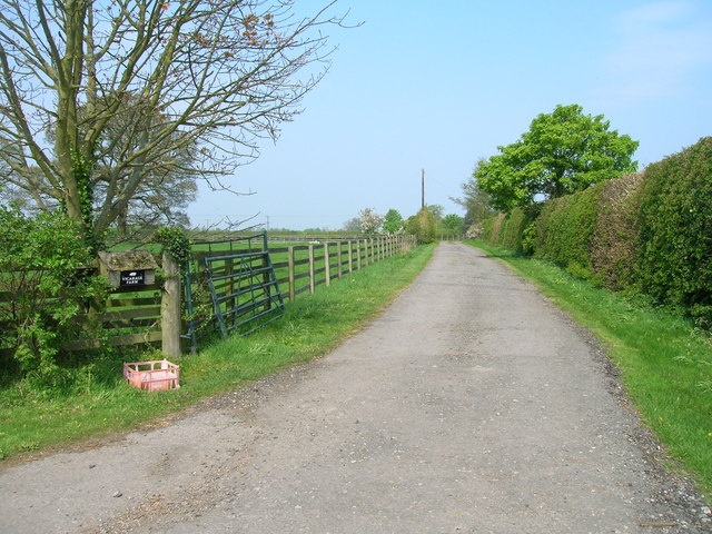
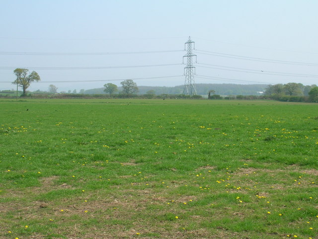
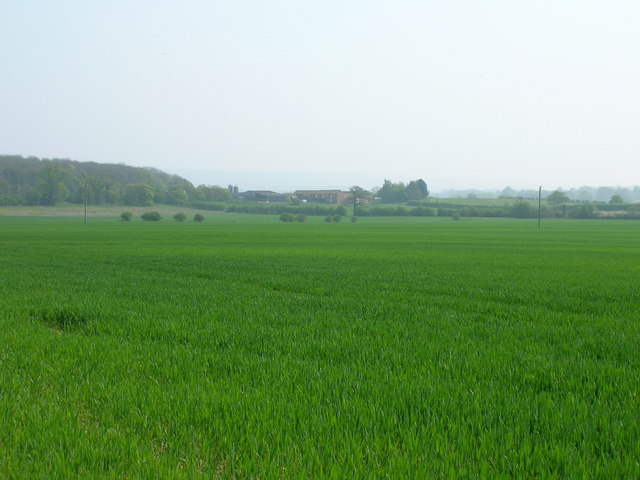
Craw Wood, located in Yorkshire, England, is a captivating woodland area that spans across a vast expanse of approximately 400 acres. Situated in the southern part of the county, Craw Wood is renowned for its natural beauty, rich biodiversity, and historical significance.
This ancient woodland is predominantly composed of deciduous trees, including varieties such as oak, beech, and birch. The dense canopy created by these majestic trees provides a serene environment and offers a welcome respite from the hustle and bustle of urban life.
Craw Wood is home to a diverse range of wildlife, making it a haven for nature enthusiasts and birdwatchers. The woodland's varied ecosystem supports a plethora of species, including deer, rabbits, foxes, and a multitude of bird species, such as woodpeckers, owls, and songbirds.
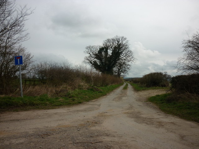
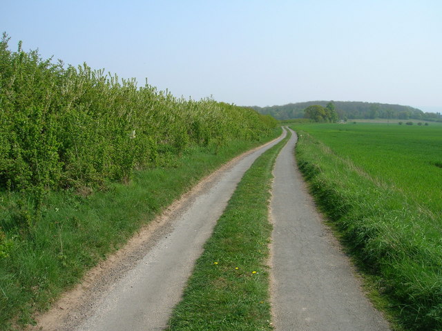
The forest is crisscrossed by a network of well-maintained trails and footpaths, allowing visitors to explore its enchanting beauty. These paths wind through the wood, unveiling hidden glades, babbling brooks, and picturesque viewpoints along the way.
In addition to its natural allure, Craw Wood also possesses a historical significance. It is believed that the woodland has been present for over a thousand years, and remnants of ancient settlements and burial mounds have been discovered within its boundaries. This historical context adds an extra layer of fascination for history enthusiasts and archeology buffs.
Overall, Craw Wood in Yorkshire is a captivating destination that seamlessly merges natural splendor with historical intrigue, making it a must-visit location for anyone seeking to immerse themselves in the beauty and heritage of the region.
If you have any feedback on the listing, please let us know in the comments section below.
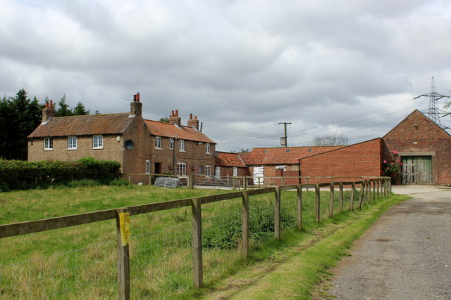
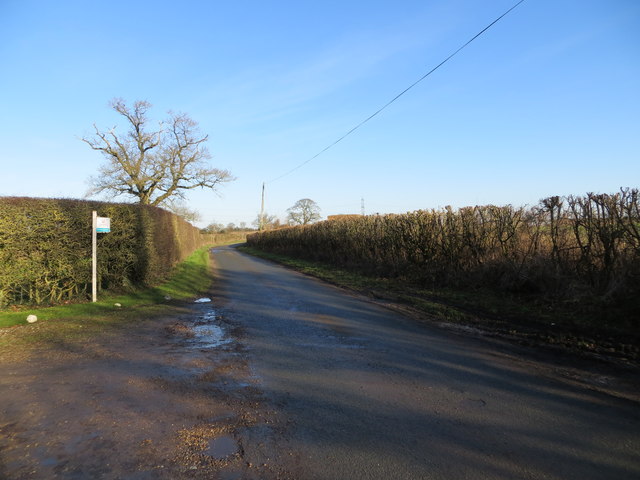
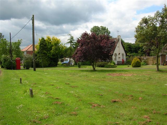
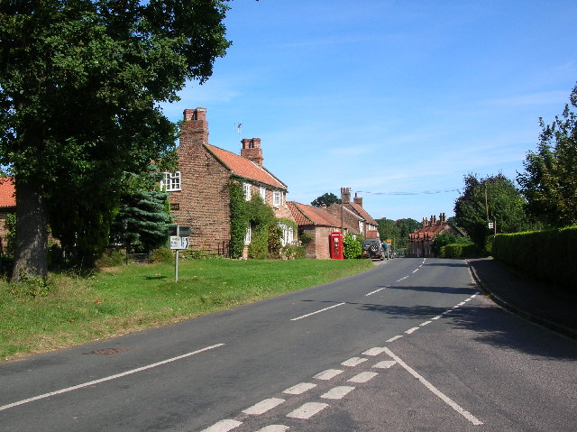
Craw Wood Images
Images are sourced within 2km of 54.035491/-0.91071252 or Grid Reference SE7160. Thanks to Geograph Open Source API. All images are credited.


Craw Wood is located at Grid Ref: SE7160 (Lat: 54.035491, Lng: -0.91071252)
Division: North Riding
Administrative County: North Yorkshire
District: Ryedale
Police Authority: North Yorkshire
What 3 Words
///chef.safely.repaying. Near Stamford Bridge, East Yorkshire
Nearby Locations
Related Wikis

Bossall
Bossall is a hamlet in North Yorkshire, England with fewer than 100 residents. The village was part of the Ryedale district between 1974 and 2023. It is...

Harton, North Yorkshire
Harton is a village and civil parish in the Ryedale district of the county of North Yorkshire, England. The population of the civil parish was less than...

Scrayingham
Scrayingham is a village and civil parish in North Yorkshire, England. It was historically part of the East Riding of Yorkshire until 1974. The population...
Claxton, North Yorkshire
Claxton is a village and part of the Claxton & Sand Hutton civil parish in North Yorkshire, England. It is near the A64 road and 8 miles (13 km) north...

Aldby Park
Aldby Park is a country estate in the village of Buttercrambe near the village of Stamford Bridge in the East Riding of Yorkshire, England. The house,...
Sand Hutton
Sand Hutton is a village and civil parish which forms the larger part of the Claxton and Sand Hutton grouped parish council, in North Yorkshire, England...

Howsham Mill
Howsham Mill is a Grade II listed 18th century watermill located on the River Derwent in North Yorkshire, England. == History == Howsham Mill dates back...
Buttercrambe Castle
Buttercrambe Castle was in the village of Buttercrambe in North Yorkshire, England. This was possibly a medieval motte-and-bailey castle. The bailey has...
Nearby Amenities
Located within 500m of 54.035491,-0.91071252Have you been to Craw Wood?
Leave your review of Craw Wood below (or comments, questions and feedback).