Dallicarrs Plantation
Wood, Forest in Yorkshire Ryedale
England
Dallicarrs Plantation
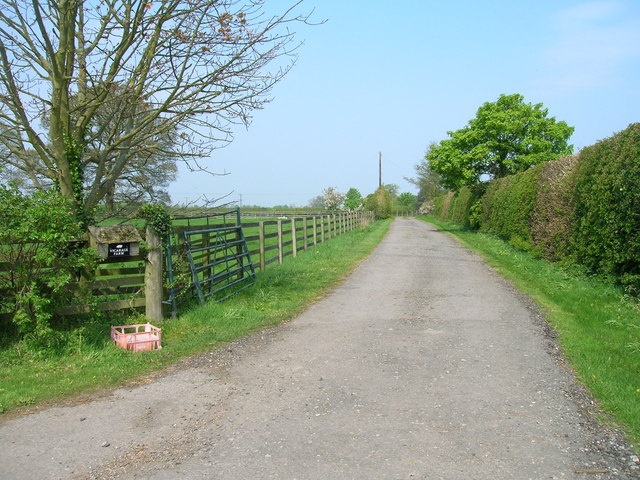
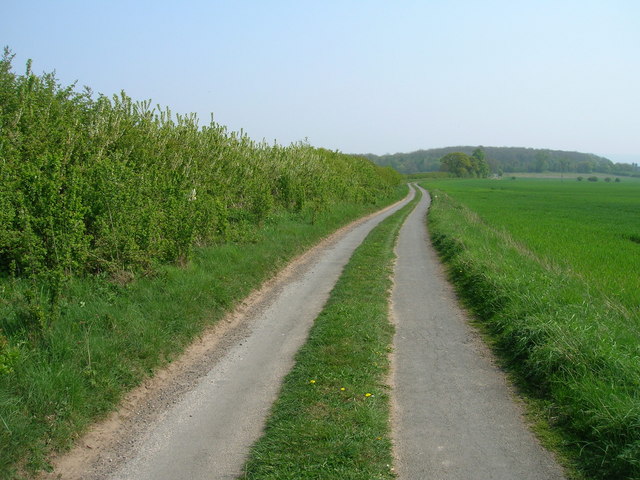
Dallicarrs Plantation is a picturesque woodland situated in the county of Yorkshire, England. Located in the heart of the Yorkshire Forest, it covers an expanse of land that stretches across several hectares. The plantation is known for its diverse range of trees, creating a captivating natural environment for visitors to explore.
The woodland is home to a variety of tree species, including oak, beech, ash, and birch, which form a dense canopy overhead. These majestic trees provide shelter for a wide array of wildlife, making Dallicarrs Plantation a haven for nature enthusiasts and birdwatchers. Common sightings include deer, squirrels, and a plethora of bird species, including woodpeckers and owls.
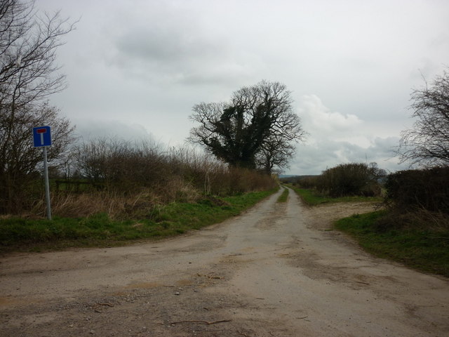
The woodland features well-maintained trails that meander through its enchanting landscape, offering visitors the opportunity to immerse themselves in the beauty of nature. These paths are suitable for walkers of all abilities, making the plantation a popular destination for families, hikers, and dog owners alike.
Dallicarrs Plantation also boasts a small picnic area, complete with benches and tables, where visitors can relax and enjoy a picnic amidst the tranquil surroundings. Additionally, there are designated areas for camping and barbecues, providing the perfect spot for outdoor enthusiasts to spend a night under the stars.
Overall, Dallicarrs Plantation is a stunning woodland retreat, offering an escape from the hustle and bustle of everyday life. With its diverse flora and fauna, well-maintained trails, and recreational facilities, it is a must-visit destination for anyone seeking solace in nature.
If you have any feedback on the listing, please let us know in the comments section below.
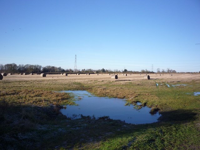
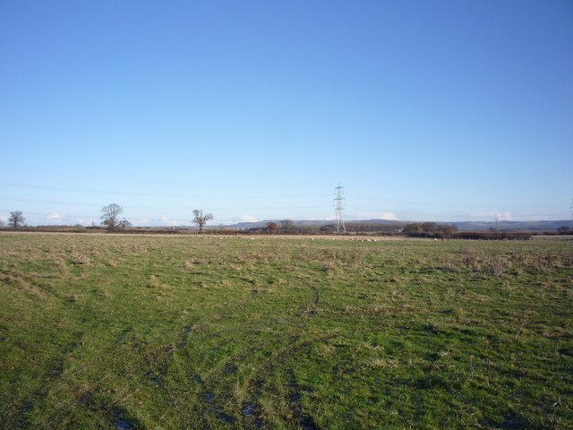
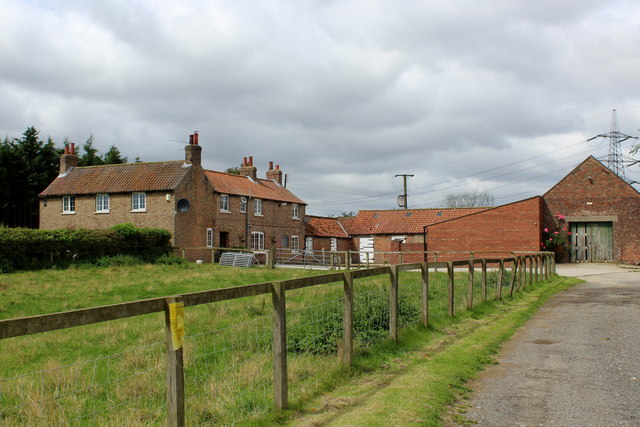
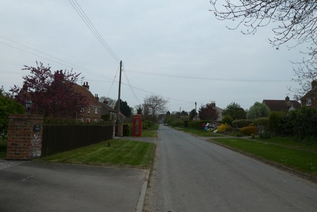
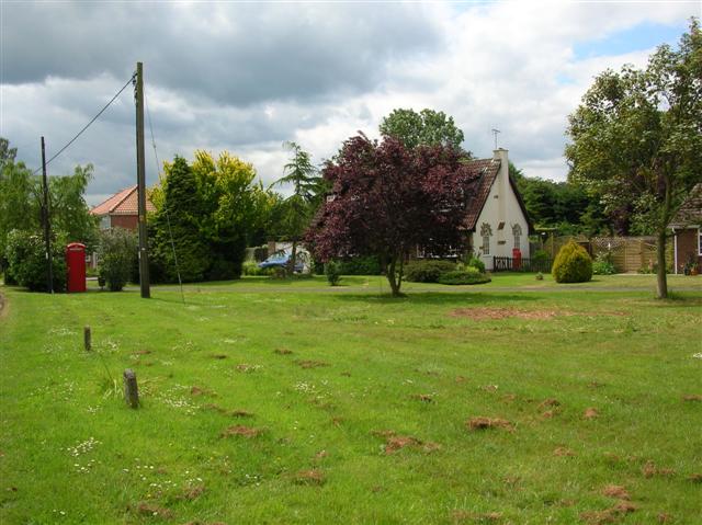
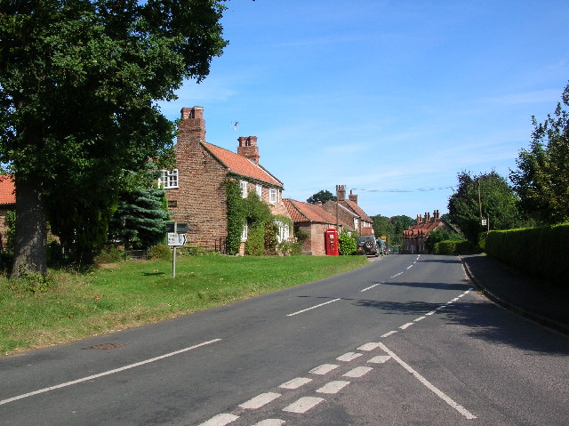
Dallicarrs Plantation Images
Images are sourced within 2km of 54.038328/-0.90940147 or Grid Reference SE7160. Thanks to Geograph Open Source API. All images are credited.


Dallicarrs Plantation is located at Grid Ref: SE7160 (Lat: 54.038328, Lng: -0.90940147)
Division: North Riding
Administrative County: North Yorkshire
District: Ryedale
Police Authority: North Yorkshire
What 3 Words
///remainder.defrost.clots. Near Stamford Bridge, East Yorkshire
Nearby Locations
Related Wikis

Bossall
Bossall is a hamlet in North Yorkshire, England with fewer than 100 residents. The village was part of the Ryedale district between 1974 and 2023. It is...

Harton, North Yorkshire
Harton is a village and civil parish in the Ryedale district of the county of North Yorkshire, England. The population of the civil parish was less than...

Scrayingham
Scrayingham is a village and civil parish in North Yorkshire, England. It was historically part of the East Riding of Yorkshire until 1974. The population...
Claxton, North Yorkshire
Claxton is a village and part of the Claxton & Sand Hutton civil parish in North Yorkshire, England. It is near the A64 road and 8 miles (13 km) north...

Howsham Mill
Howsham Mill is a Grade II listed 18th century watermill located on the River Derwent in North Yorkshire, England. == History == Howsham Mill dates back...

Barton-le-Willows
Barton-le-Willows is a village and civil parish in North Yorkshire, England, situated near the River Derwent, about eight miles south-west of Malton....

Aldby Park
Aldby Park is a country estate in the village of Buttercrambe near the village of Stamford Bridge in the East Riding of Yorkshire, England. The house,...
Sand Hutton
Sand Hutton is a village and civil parish which forms the larger part of the Claxton and Sand Hutton grouped parish council, in North Yorkshire, England...
Nearby Amenities
Located within 500m of 54.038328,-0.90940147Have you been to Dallicarrs Plantation?
Leave your review of Dallicarrs Plantation below (or comments, questions and feedback).