Grove Copse

Wood, Forest in Hampshire East Hampshire

England

Grove Copse

Farmland, East Tisted A field of recently cut grass is crossed by a footpath climbing east from the A32.
Farmland, East Tisted Credit: Andrew Smith

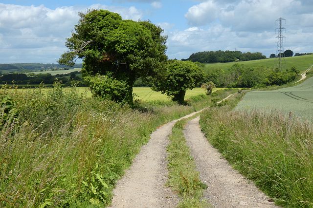
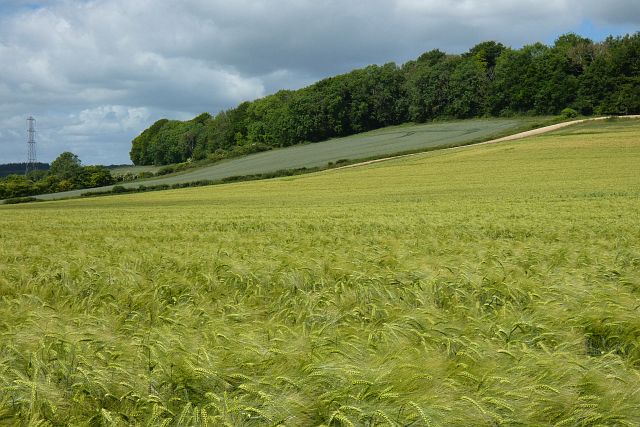
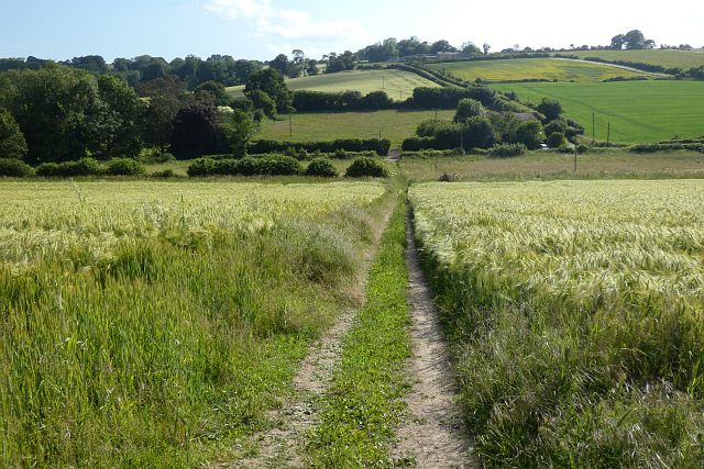
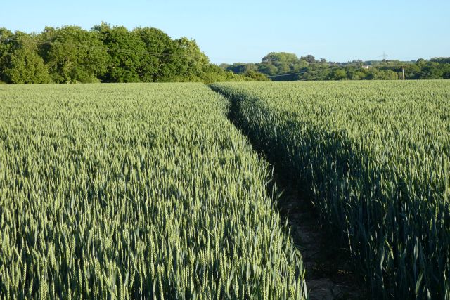
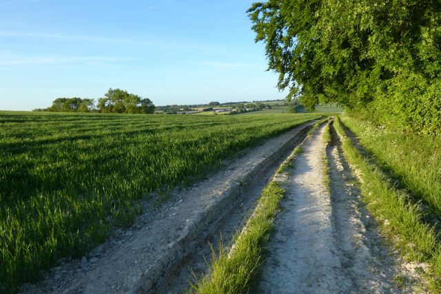
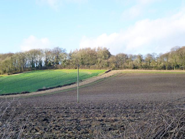
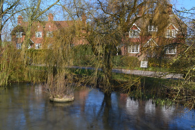
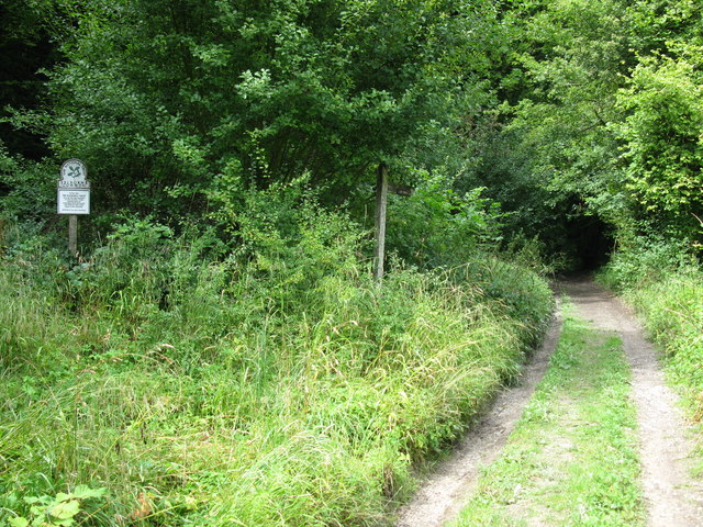
Grove Copse is a picturesque woodland located in Hampshire, England. Spanning approximately 40 hectares, it is nestled within the South Downs National Park, adding to its immense natural beauty and charm. The copse is predominantly composed of deciduous trees, with a diverse range of species including beech, oak, ash, and birch.

One of the key features that sets Grove Copse apart is its ancient woodland status. This means that the area has been continuously wooded since at least 1600 AD, giving it a rich historical and ecological significance. The woodland is home to a variety of flora and fauna, with a carpet of bluebells decorating the forest floor in springtime and a chorus of birdsong filling the air throughout the year.

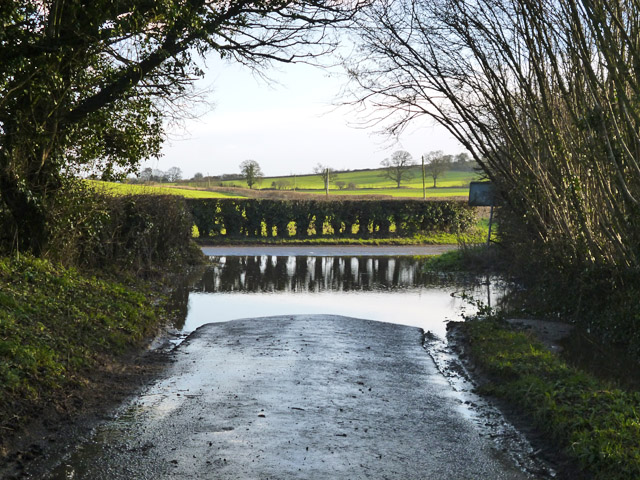
Grove Copse offers a peaceful and tranquil environment for visitors, providing an escape from the hustle and bustle of everyday life. It is a popular destination for nature enthusiasts, photographers, and walkers, with several well-marked trails winding through the woods. These trails offer glimpses of the copse's diverse wildlife, including deer, foxes, and a myriad of bird species.

Managed by the Hampshire County Council, Grove Copse is kept in excellent condition to preserve its natural beauty and protect its unique ecosystem. Visitors are encouraged to respect the woodland and adhere to the designated paths to ensure minimal disruption to the delicate environment.

Overall, Grove Copse is a true gem of Hampshire, offering a tranquil haven for nature lovers and a valuable habitat for a wide range of plant and animal species.

If you have any feedback on the listing, please let us know in the comments section below.

Grove Copse Images

Images are sourced within 2km of 51.088593/-0.9744795 or Grid Reference SU7132. Thanks to Geograph Open Source API. All images are credited.

Farmland, East Tisted A field of recently cut grass is crossed by a footpath climbing east from the A32.
Farmland, East Tisted
A field of recently cut grass is crossed by a footpath climbing east from the A32.
Track and farmland, Newton Valence The footpath heading towards Farringdon.
Track and farmland, Newton Valence
The footpath heading towards Farringdon.
Farmland, Newton Valence Fields of barley and wheat below Goldridge Plantation are viewed from a footpath that crosses the low ridge on its way to Upper Farringdon.
Farmland, Newton Valence
Fields of barley and wheat below Goldridge Plantation are viewed from a footpath that crosses the low ridge on its way to Upper Farringdon.
Farmland, Newton Valence Descending through barley, the restricted byway below King's Farm.
Farmland, Newton Valence
Descending through barley, the restricted byway below King's Farm.
Farmland, Priors Dean A crop of oats on the hillside to the west of Goleigh Farm.
Farmland, Priors Dean
A crop of oats on the hillside to the west of Goleigh Farm.
Pasture, East Tisted Dairy cattle to the north of Monk's Lodge.
Pasture, East Tisted
Dairy cattle to the north of Monk's Lodge.
Farmland, East Tisted The footpath approaches Colemore. A narrow strip of wheat is growing between 
areas of conservation land.
Farmland, East Tisted
The footpath approaches Colemore. A narrow strip of wheat is growing between areas of conservation land.
Farmland, Farringdon
Track and farmland, Selborne
East Tisted, St James
Snowdrops in East Tisted Churchyard
Village Store and Post Office, East Tisted
Entrance to Gaze Burvill Gaze Burvill are designers and makers of outdoor furniture. <span class="nowrap"><a title="www.gazeburvill.com/oakcollections/index.htm" rel="nofollow ugc noopener" href="http://www.gazeburvill.com/oakcollections/index.htm">Link</a><img style="margin-left:2px;" alt="External link" title="External link - shift click to open in new window" src="https://s1.geograph.org.uk/img/external.png" width="10" height="10"/></span>
Entrance to Gaze Burvill
Gaze Burvill are designers and makers of outdoor furniture. LinkExternal link
Mary Lane
Mary Lane
Path to Noar Plantation atop Northfield Hill
Fields below Northfield Hill Three or four figures are just visible, they were engaged in shooting.
Fields below Northfield Hill
Three or four figures are just visible, they were engaged in shooting.
Newton Valence war memorial A few crocuses are up at the end of January.
Newton Valence war memorial
A few crocuses are up at the end of January.
A big puddle At the bottom of Hullam Lane.
A big puddle
At the bottom of Hullam Lane.
Show me another place!

Grove Copse is located at Grid Ref: SU7132 (Lat: 51.088593, Lng: -0.9744795)

Administrative County: Hampshire

District: East Hampshire

Police Authority: Hampshire

What 3 Words

///warm.soaks.toasters. Near Four Marks, Hampshire

Nearby Locations

Grove Copse

Related Wikis

Newton Valence

Newton Valence is a village and civil parish in the East Hampshire district of Hampshire, England. It is 4.4 miles (7.1 km) south of Alton, just off the...

Tisted railway station

Tisted was a railway station on the Meon Valley line which served the village of East Tisted. It opened in 1903 and closed in 1955. The main station building...

Selborne Hill

Selborne Hill is one of the highest points in the county of Hampshire, England. It is one of the East Hampshire Hangers, a line of prominent hills on the...

East Tisted

East Tisted () is a village and civil parish in the East Hampshire district of Hampshire, England. It is 4.8 miles (7.7 km) south of Alton on the A32 road...

Goleigh Hill

Goleigh Hill is one of the highest points in the county of Hampshire, England. It is part of the Hampshire Downs and reaches a height of 220 metres (720...

Selborne Common

Selborne Common is a 99.6-hectare (246-acre) biological Site of Special Scientific Interest west of Selborne in Hampshire. It is a Nature Conservation...

Church of St Peter ad Vincula, Colemore

The Church of St Peter ad Vincula is a redundant Anglican church in the village of Colemore, Hampshire, England. It is recorded in the National Heritage...

Colemore

Colemore is a village and former civil parish, now in the parish of Colemore and Priors Dean, in the East Hampshire district, in the county of Hampshire...

Nearby Amenities

Located within 500m of 51.088593,-0.9744795
Newton Valence
Place: village
Source: npe
Lat/Long: 51.0892735/-0.9682879
Bus Stop
Shotters Lane
Naptan AtcoCode: 1900HA020295
Naptan Bearing: SE
Naptan CommonName: Shotters Lane
Naptan Crossing: Newton Lane
Naptan NaptanCode: hamgmjwp
Naptan Street: Shotters Lane
Naptan Verified: no
Source: naptan_import
Lat/Long: 51.0924803/-0.9752578
Bus Stop
Shotters Lane
Naptan AtcoCode: 1900HA020296
Naptan Bearing: NW
Naptan CommonName: Shotters Lane
Naptan Crossing: Newton Lane
Naptan NaptanCode: hamgmjwj
Naptan Street: Shotters Lane
Naptan Verified: no
Source: naptan_import
Lat/Long: 51.0924267/-0.9753018
Bus Stop
Newton Valence War Memorial
Bus: yes
Naptan AtcoCode: 1900HA020297
Naptan Bearing: SE
Naptan CommonName: Newton Valence War Memorial
Naptan NaptanCode: hamgmwgm
Naptan Street: Newton Lane
Naptan Verified: no
Public Transport: platform
Source: naptan_import
Lat/Long: 51.0891443/-0.9681349
Barrier: stile
Lat/Long: 51.0894721/-0.9711136
Barrier: stile
Lat/Long: 51.0866031/-0.9702911
Post Box
Collection Plate: CPR
Collection Times: Mo-Fr 16:00; Sa 10:00
Operator: Royal Mail
Post Box Type: wall
Ref: GU34 8
Royal Cypher: VR
Royal Cypher Wikidata: Q33102356
Source: survey
Lat/Long: 51.0898482/-0.9709183
Barrier: stile
Lat/Long: 51.088195/-0.9716183
Newton Valence War Memorial
Historic: memorial
Wikidata: Q26670809
Lat/Long: 51.0891726/-0.9682381
Barrier: stile
Source: survey
Lat/Long: 51.0863173/-0.9806252
Power: pole
Lat/Long: 51.08434/-0.9730491
Power: pole
Lat/Long: 51.0859153/-0.9746665
Power: pole
Lat/Long: 51.0867207/-0.9755248
Power: pole
Lat/Long: 51.0884459/-0.9766218
Power: pole
Lat/Long: 51.0890457/-0.9755999
Power: pole
Lat/Long: 51.0896741/-0.9752324
Power: pole
Lat/Long: 51.090294/-0.9748435
Power: pole
Lat/Long: 51.0909308/-0.974468
Power: pole
Lat/Long: 51.0915761/-0.9740281
Power: pole
Lat/Long: 51.0917748/-0.9738672
Power: pole
Lat/Long: 51.0925194/-0.9734193
The data included in this document is from www.openstreetmap.org. The data is made available under ODbL.

Have you been to Grove Copse?

Leave your review of Grove Copse below (or comments, questions and feedback).