Little North Spring Wood
Wood, Forest in Yorkshire
England
Little North Spring Wood

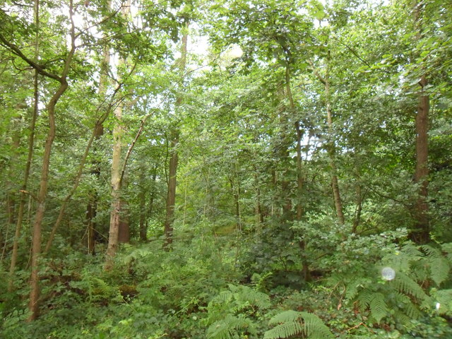
Little North Spring Wood is a picturesque woodland located in the region of Yorkshire, England. Covering an area of approximately 100 acres, it is nestled within the stunning North Yorkshire Moors National Park. The wood is situated near the village of North Spring, offering easy access to visitors from nearby towns and cities.
This ancient woodland is characterized by its rich biodiversity and natural beauty. It is predominantly composed of a variety of deciduous trees, including oak, ash, birch, and beech. The dense canopy formed by these trees creates a cool and shady environment, perfect for leisurely walks and nature exploration.
Little North Spring Wood is home to a diverse range of flora and fauna. The forest floor is carpeted with a vibrant array of wildflowers, including bluebells, primroses, and wood anemones, creating a stunning floral display during the spring months. The wood provides a habitat for numerous bird species, such as robins, blackbirds, and woodpeckers, which can be spotted and heard throughout the year.
Visitors to the wood can enjoy a network of well-maintained footpaths that wind their way through the tranquil woodland. These paths offer breathtaking views of the surrounding countryside and provide opportunities for birdwatching and wildlife spotting. The wood also features picnic areas, allowing visitors to relax and immerse themselves in the peaceful ambiance.
Little North Spring Wood offers a serene and enchanting escape from the hustle and bustle of everyday life. Its natural beauty and abundant wildlife make it a popular destination for nature lovers, hikers, and those seeking a peaceful retreat in the heart of Yorkshire.
If you have any feedback on the listing, please let us know in the comments section below.
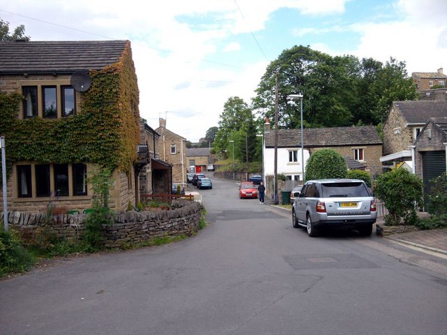
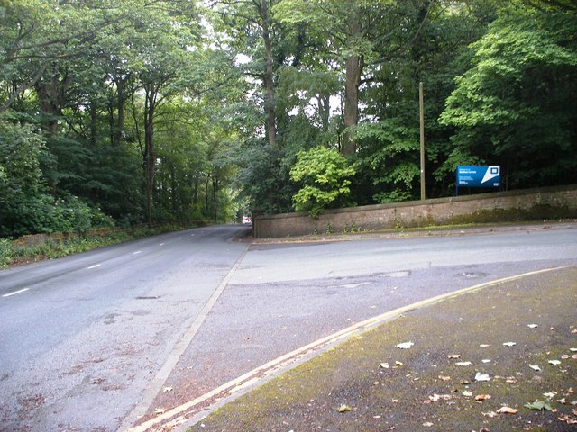
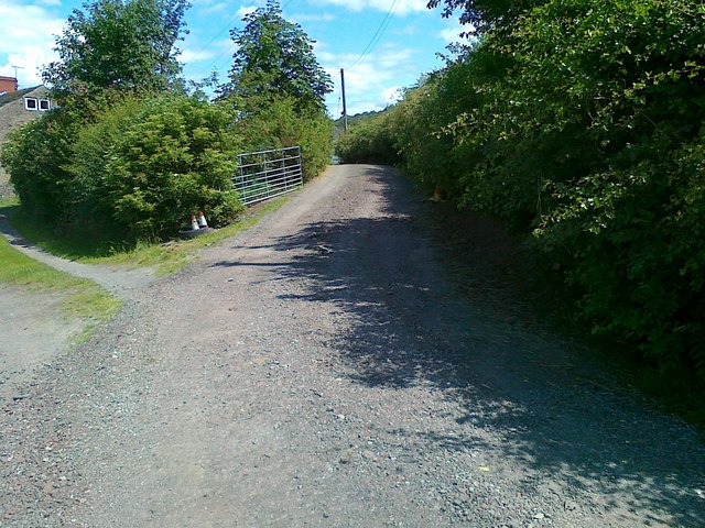
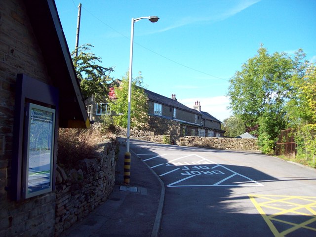
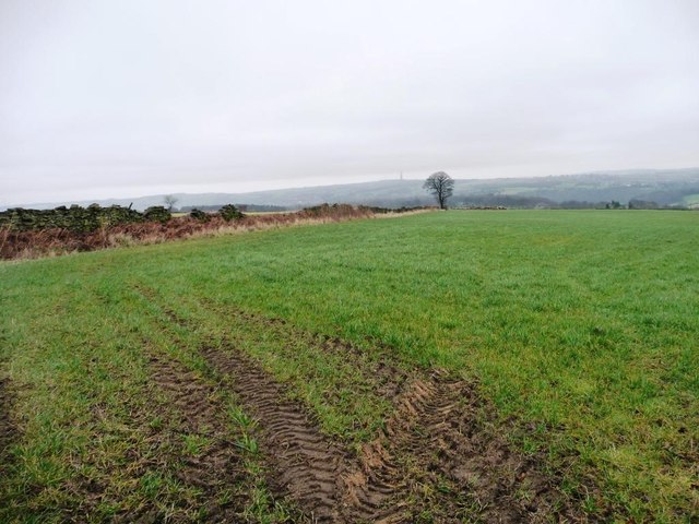
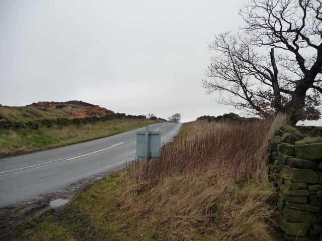
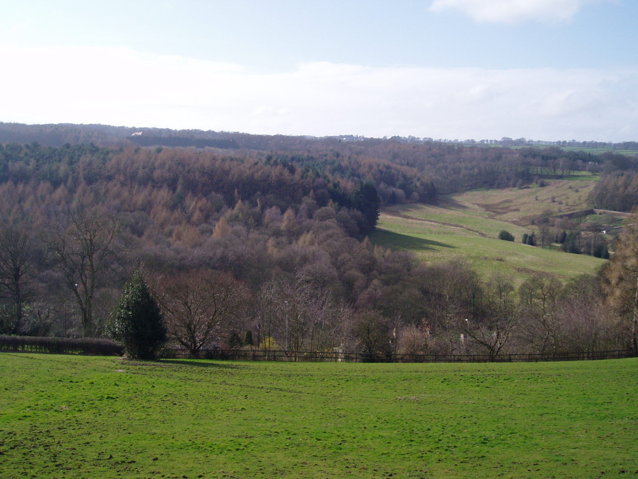
Little North Spring Wood Images
Images are sourced within 2km of 53.610211/-1.7313799 or Grid Reference SE1712. Thanks to Geograph Open Source API. All images are credited.


![Roadside bench with a view, Farnley Moor End Dedicated to Brian Webster [1925 - 2007], a local parish councillor.](https://s3.geograph.org.uk/geophotos/02/81/81/2818147_7fa68fa7.jpg)
Little North Spring Wood is located at Grid Ref: SE1712 (Lat: 53.610211, Lng: -1.7313799)
Division: West Riding
Unitary Authority: Kirklees
Police Authority: West Yorkshire
What 3 Words
///slightly.hairspray.napped. Near Kirkburton, West Yorkshire
Nearby Locations
Related Wikis

Storthes Hall
Storthes Hall is part of the civil parish of Kirkburton in West Yorkshire, England. A heavily wooded area, it comprises a single road, Storthes Hall Lane...
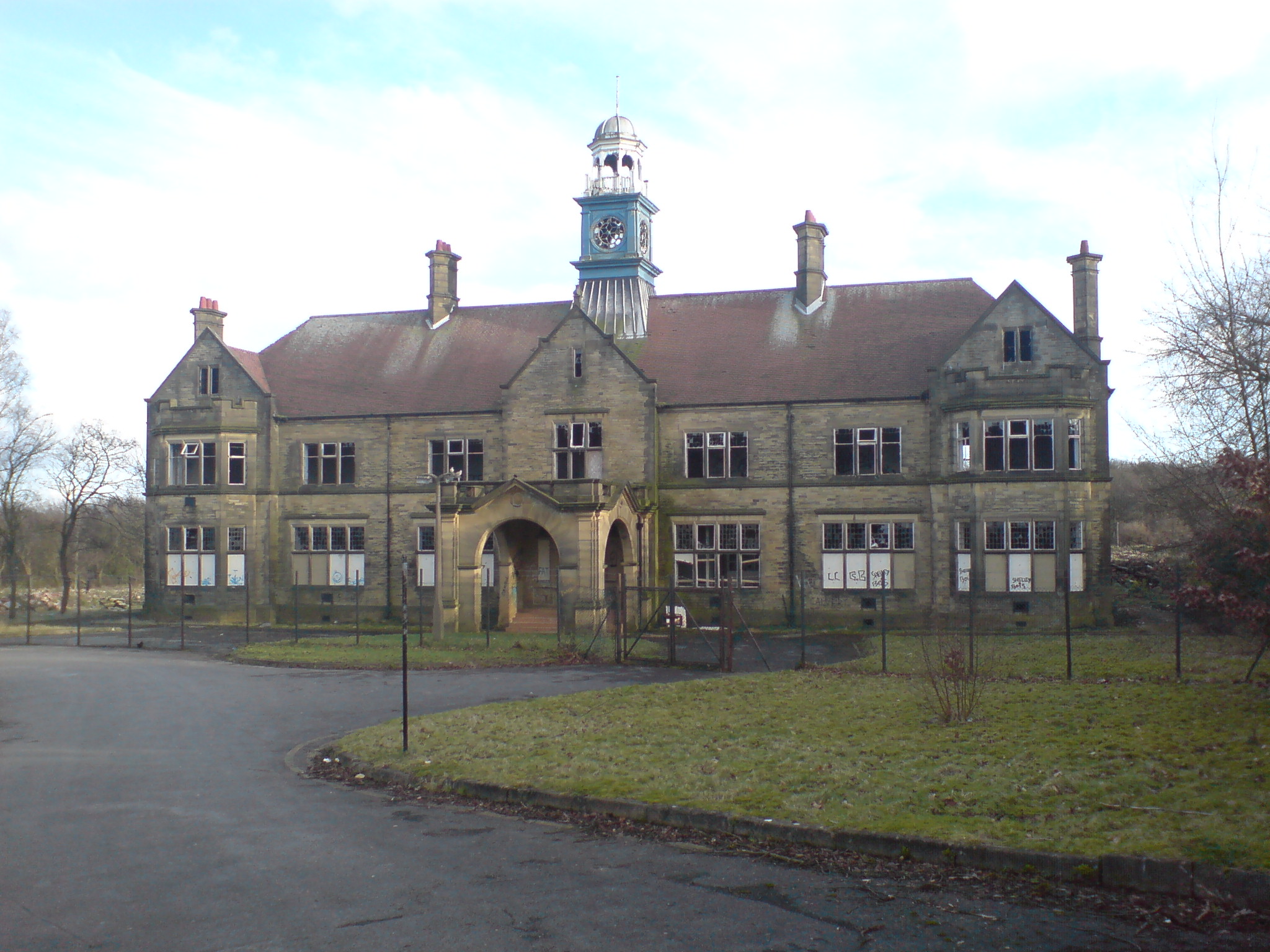
Storthes Hall Hospital
Storthes Hall Hospital was a mental health facility at Storthes Hall, Huddersfield, West Yorkshire, England. Founded in 1904, it expanded to over 3,000...

Huddersfield Town F.C. Women
Huddersfield Town Women Football Club is an English women's football club based in Huddersfield, West Yorkshire. The team play their homes matches at the...
Shelley C.F.C.
Shelley Community Football Club is a football club based in Shelley, West Yorkshire, England. They are currently members of the North West Counties League...
Myers Wood
Myers Wood is a wooded area in the village of Kirkburton, West Yorkshire, England. It forms part of a heavily forested area to the west of the village...

Farnley Tyas
Farnley Tyas is a village in the parish of Kirkburton, in the Kirklees district, in the county of West Yorkshire, England 3 miles (4.8 km) south east of...
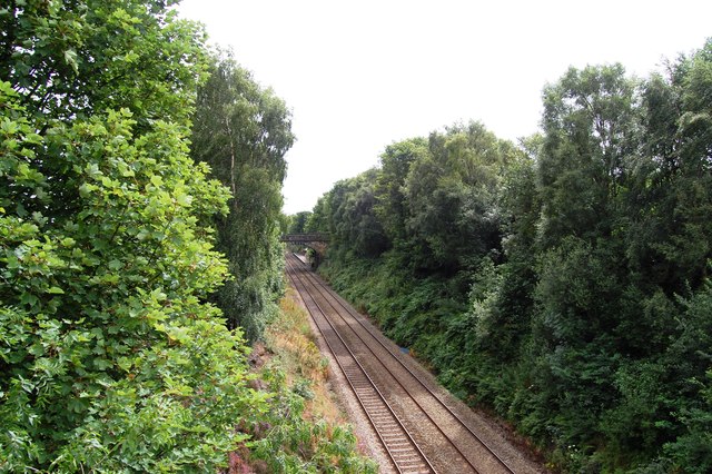
Kirkburton railway station
Kirkburton railway station served the village of Kirkburton, West Yorkshire, England until closure in 1930. == History == The Huddersfield-Kirkburton Branch...

South Pennines
The South Pennines is a region of moorland and hill country in northern England lying towards the southern end of the Pennines. In the west it includes...
Nearby Amenities
Located within 500m of 53.610211,-1.7313799Have you been to Little North Spring Wood?
Leave your review of Little North Spring Wood below (or comments, questions and feedback).