Storthes Hall Moor
Downs, Moorland in Yorkshire
England
Storthes Hall Moor
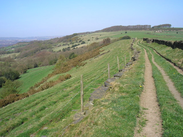
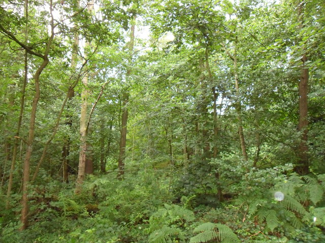
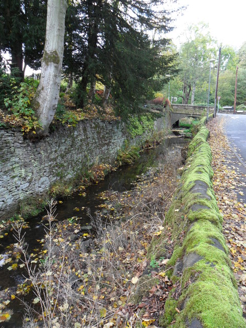
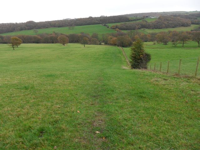
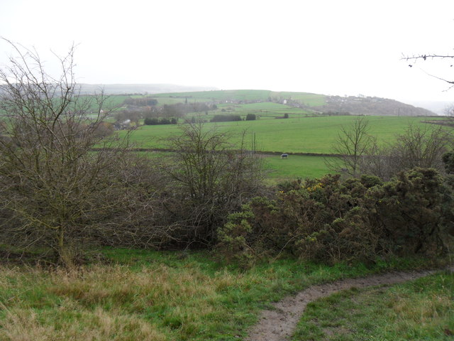
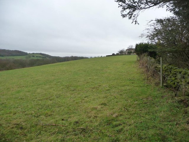
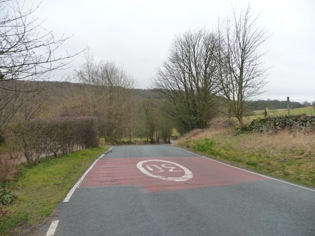
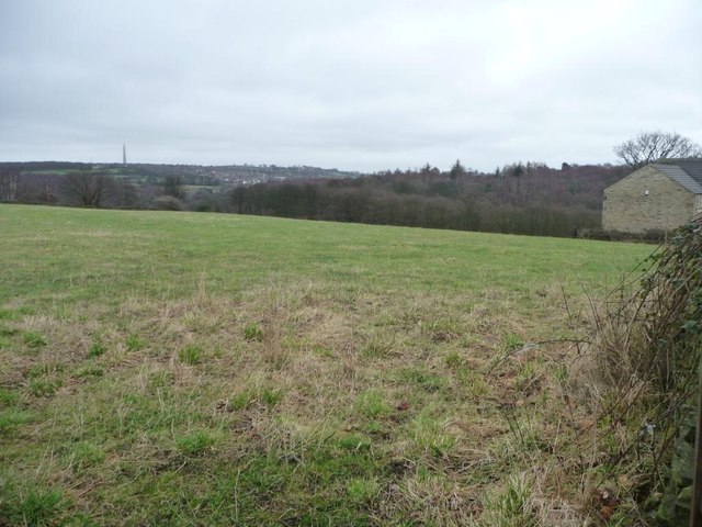
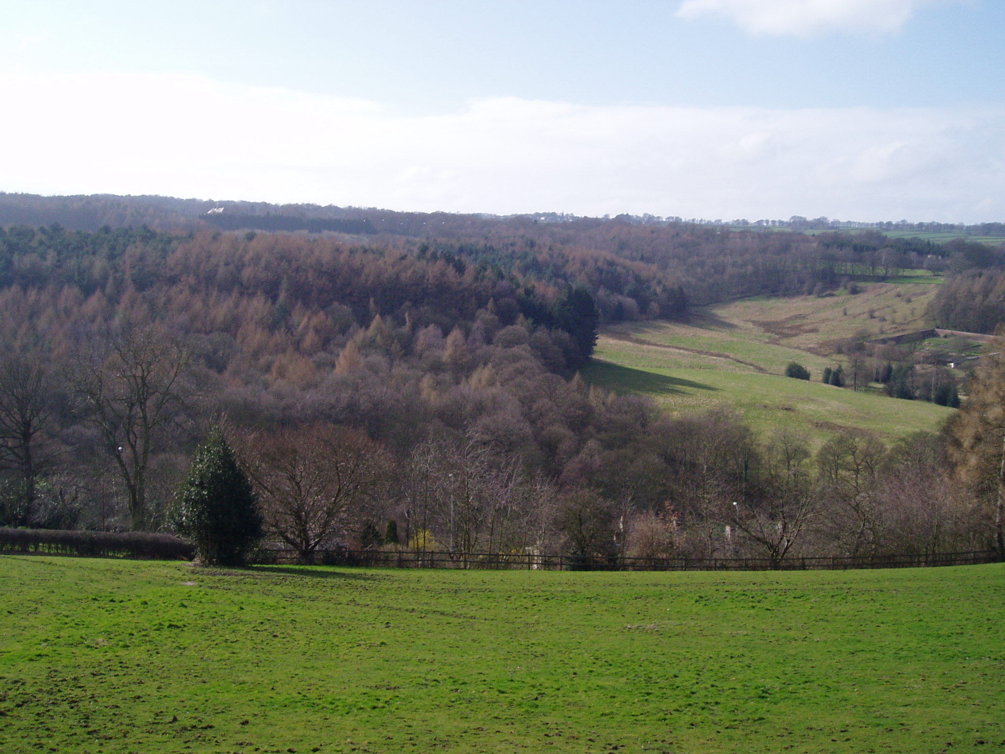
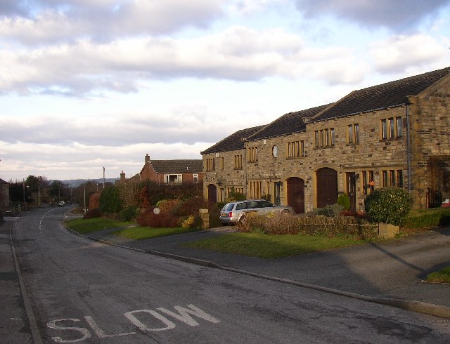
Storthes Hall Moor is a picturesque area located in Yorkshire, England. Situated on the outskirts of Huddersfield, it encompasses a vast expanse of diverse landscapes, including downs and moorland. The moorland, in particular, is a prominent feature of the area, characterized by rolling hills, heather-covered plains, and scattered rocky outcrops.
Covering an area of approximately 2,000 acres, Storthes Hall Moor is home to an array of wildlife, offering a haven for nature enthusiasts. The moorland provides a habitat for various bird species, including skylarks, curlews, and golden plovers. The heather-covered slopes attract bees and butterflies, adding to the vibrant tapestry of colors during the summer months.
The area is also steeped in history, with evidence of human activity dating back to the Bronze Age. Archaeological finds, such as burial mounds and stone circles, testify to the ancient roots of the moorland. Visitors can explore these remnants of the past and immerse themselves in the rich cultural heritage of the area.
Storthes Hall Moor is a popular destination for outdoor activities, offering ample opportunities for walking, hiking, and birdwatching. Several well-marked trails traverse the moorland, providing breathtaking vistas and a chance to connect with nature. The vast open spaces and tranquil atmosphere make it an ideal spot for picnics and relaxation.
Overall, Storthes Hall Moor is a captivating natural landscape that showcases the beauty of Yorkshire's downs and moorland. Its rich biodiversity, historical significance, and recreational opportunities make it a must-visit destination for nature lovers and history enthusiasts alike.
If you have any feedback on the listing, please let us know in the comments section below.
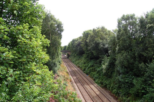
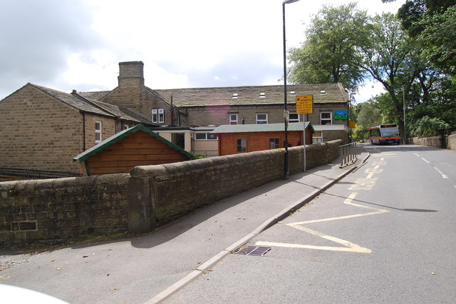
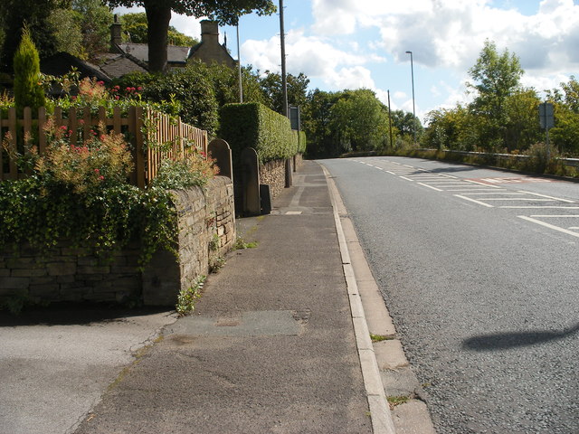
Storthes Hall Moor Images
Images are sourced within 2km of 53.606899/-1.7374915 or Grid Reference SE1712. Thanks to Geograph Open Source API. All images are credited.


Storthes Hall Moor is located at Grid Ref: SE1712 (Lat: 53.606899, Lng: -1.7374915)
Division: West Riding
Unitary Authority: Kirklees
Police Authority: West Yorkshire
What 3 Words
///riverside.contained.imply. Near Kirkburton, West Yorkshire
Related Wikis

Storthes Hall
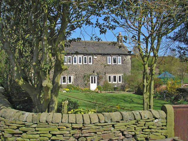
Storthes Hall is part of the civil parish of Kirkburton in West Yorkshire, England. A heavily wooded area, it comprises a single road, Storthes Hall Lane...
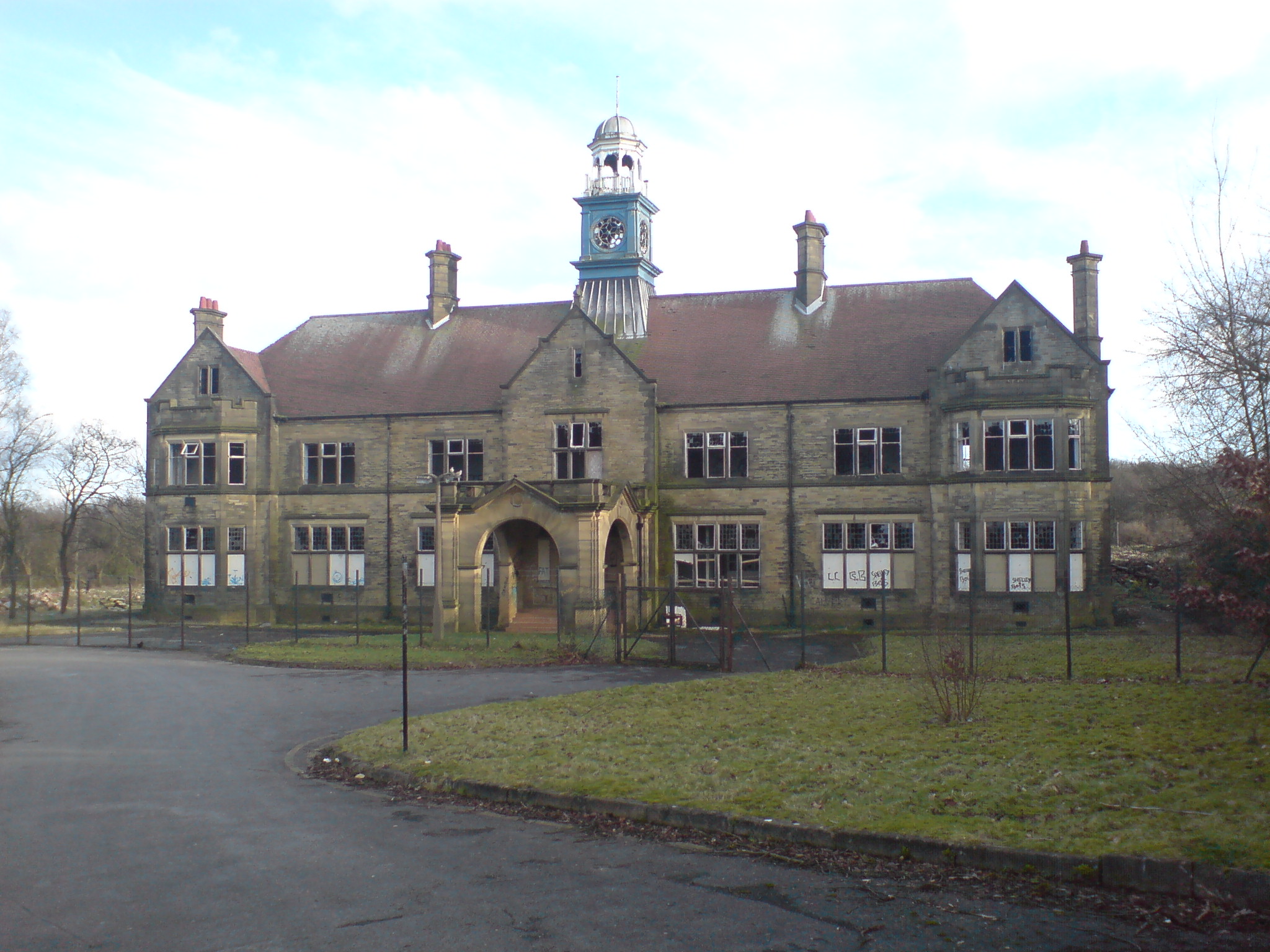
Storthes Hall Hospital
Storthes Hall Hospital was a mental health facility at Storthes Hall, Huddersfield, West Yorkshire, England. Founded in 1904, it expanded to over 3,000...

Huddersfield Town F.C. Women
Huddersfield Town Women Football Club is an English women's football club based in Huddersfield, West Yorkshire. The team play their homes matches at the...
Shelley C.F.C.
Shelley Community Football Club is a football club based in Shelley, West Yorkshire, England. They are currently members of the North West Counties League...

Farnley Tyas
Farnley Tyas is a village in the parish of Kirkburton, in the Kirklees district, in the county of West Yorkshire, England 3 miles (4.8 km) south east of...
Thurstonland and Farnley Tyas Urban District
Thurstonland and Farnley Tyas was an urban district in the West Riding of Yorkshire from 1925 to 1938. It was created in 1925 by the merger of the Thurstonland...
Myers Wood
Myers Wood is a wooded area in the village of Kirkburton, West Yorkshire, England. It forms part of a heavily forested area to the west of the village...
Stocksmoor
Stocksmoor is a hamlet, near Huddersfield, West Yorkshire, England. It is situated between the villages of Shepley and Brockholes. The total population...
Nearby Amenities
Located within 500m of 53.606899,-1.7374915Have you been to Storthes Hall Moor?
Leave your review of Storthes Hall Moor below (or comments, questions and feedback).