Ford Down
Downs, Moorland in Wiltshire
England
Ford Down

Ford Down is a picturesque area located in Wiltshire, England. It is part of the Downs, Moorland region, known for its sprawling landscapes and natural beauty. Covering an area of approximately 500 acres, Ford Down offers stunning views of rolling hills, verdant meadows, and vast expanses of open countryside.
The area is home to a diverse range of flora and fauna, making it a popular destination for nature enthusiasts. Visitors can expect to encounter various species of wildflowers, including bluebells and primroses, especially during the spring season. The rich biodiversity of Ford Down also attracts a wide array of birdlife, such as skylarks, meadow pipits, and kestrels.
Ford Down is crisscrossed by numerous footpaths and trails, allowing visitors to explore the area on foot or by bicycle. These pathways provide access to some of the most scenic spots on the down, including panoramic viewpoints and hidden valleys. The tranquil atmosphere and unspoiled nature of Ford Down make it an ideal location for walking, picnicking, or simply enjoying the peaceful surroundings.
Historically, Ford Down has been used for grazing livestock, particularly sheep. The presence of traditional dry stone walls and ancient earthworks adds to the charm and heritage of the area. It is not uncommon to come across remnants of Iron Age settlements and burial mounds, providing glimpses into the rich history of the region.
Overall, Ford Down, Wiltshire offers a serene and captivating experience for nature lovers and history enthusiasts alike. Its natural beauty, combined with its cultural significance, makes it a true gem within the Downs, Moorland region.
If you have any feedback on the listing, please let us know in the comments section below.
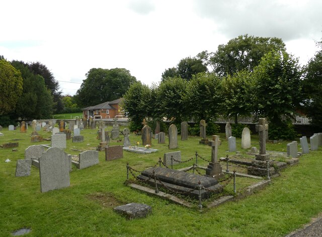
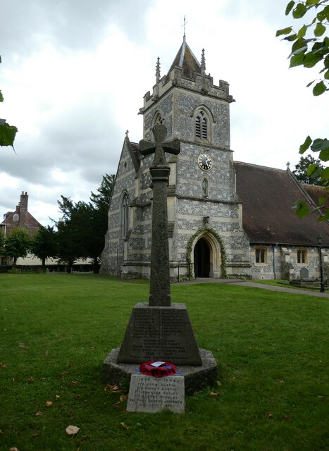
Ford Down Images
Images are sourced within 2km of 51.092682/-1.7520333 or Grid Reference SU1732. Thanks to Geograph Open Source API. All images are credited.


Ford Down is located at Grid Ref: SU1732 (Lat: 51.092682, Lng: -1.7520333)
Unitary Authority: Wiltshire
Police Authority: Wiltshire
What 3 Words
///adopt.logbook.toward. Near Salisbury, Wiltshire
Nearby Locations
Related Wikis

Bracknell Croft
Bracknell Croft (grid reference SU180330) is a 4.8 hectare biological Site of Special Scientific Interest in Wiltshire, notified in 1971. == Sources... ==
Cockey Down
Cockey Down (grid reference SU170317) is a 15.2 hectare biological Site of Special Scientific Interest in Wiltshire, notified in 1971. The site is managed...
Hurdcott House
Hurdcott House is a 19th-century country house in Winterbourne Earls, Wiltshire, England, in the Bourne valley about 3 miles (5 km) north-east of Salisbury...
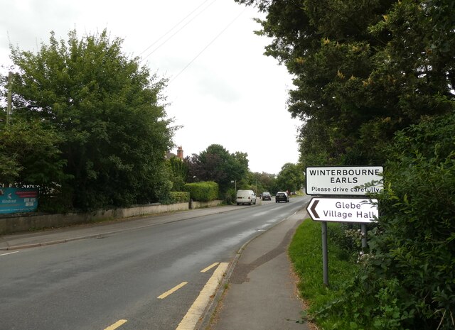
Winterbourne Earls
Winterbourne Earls is a village in Wiltshire, England. The village is in the Bourne valley on the A338 road, about 3.4 miles (5 km) northeast of Salisbury...
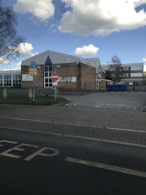
St Joseph's Catholic School, Laverstock
St Joseph's Catholic School is a coeducational Roman Catholic secondary school in Laverstock, near Salisbury in Wiltshire, England.It is a voluntary aided...

Figsbury Ring
Figsbury Ring (grid reference SU188338) is an 11.2 hectare biological Site of Special Scientific Interest in Wiltshire, England, notified in 1975. It...

St Edmund's Girls' School
St Edmund's Girls' School was an all-girls secondary school located in Laverstock, near Salisbury, south Wiltshire, England. In 2022 the school formally...

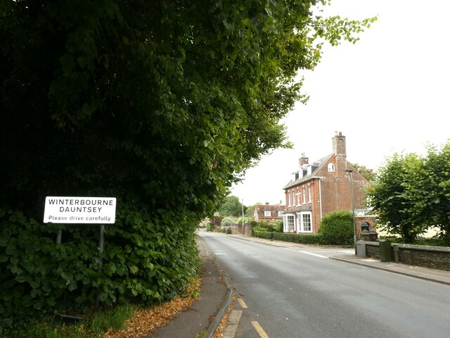
Winterbourne, Wiltshire
Winterbourne is a civil parish in south east Wiltshire, England, about 3.5 miles (6 km) northeast of Salisbury. The parish encompasses the contiguous...
Nearby Amenities
Located within 500m of 51.092682,-1.7520333Have you been to Ford Down?
Leave your review of Ford Down below (or comments, questions and feedback).