Alderbury Meadows
Downs, Moorland in Wiltshire
England
Alderbury Meadows

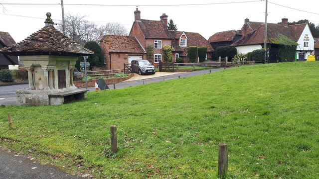
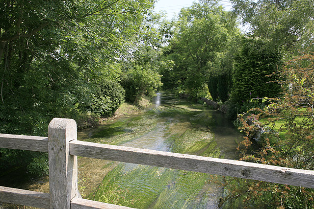
Alderbury Meadows is a picturesque location situated in the county of Wiltshire, England. This area is renowned for its diverse natural landscapes, encompassing downs and moorland. The meadows are spread across an expansive area, offering visitors a tranquil escape from the bustling city life.
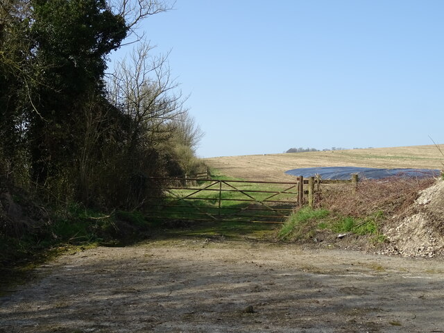
The downs of Alderbury Meadows are characterized by their gently rolling hills and open grasslands. These areas are known for their rich biodiversity, with various species of wildflowers, grasses, and insects thriving in this habitat. The downs also provide breathtaking panoramic views of the surrounding countryside, making it a popular spot for hikers and nature enthusiasts.
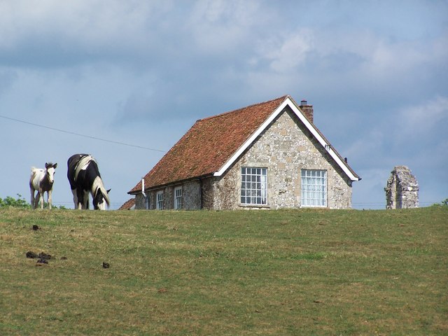
In contrast, the moorland within Alderbury Meadows presents a different landscape altogether. It is characterized by its rugged terrain, heather-covered hills, and scattered patches of woodland. This unique environment is home to a variety of bird species, including the elusive Dartford warbler and the kestrel. The moorland also supports a diverse range of plant life, including gorse and bracken.
Alderbury Meadows offers a multitude of activities for visitors to engage in. Walking trails crisscross the meadows, allowing visitors to explore the diverse landscapes and soak in the natural beauty. Birdwatching is a popular pastime, with numerous bird hides strategically placed throughout the area. Additionally, the meadows provide ample opportunities for picnicking, photography, and simply enjoying the tranquility of the surroundings.
Overall, Alderbury Meadows is a haven for nature lovers, offering a unique combination of downs and moorland landscapes. With its diverse flora and fauna, breathtaking views, and recreational activities, it is a destination that captivates visitors and provides a truly immersive natural experience.
If you have any feedback on the listing, please let us know in the comments section below.
Alderbury Meadows Images
Images are sourced within 2km of 51.032606/-1.7522538 or Grid Reference SU1725. Thanks to Geograph Open Source API. All images are credited.


Alderbury Meadows is located at Grid Ref: SU1725 (Lat: 51.032606, Lng: -1.7522538)
Unitary Authority: Wiltshire
Police Authority: Wiltshire
What 3 Words
///bibs.describe.uncle. Near Alderbury, Wiltshire
Nearby Locations
Related Wikis


Have you been to Alderbury Meadows?
Leave your review of Alderbury Meadows below (or comments, questions and feedback).