Leigh Fields
Downs, Moorland in Yorkshire
England
Leigh Fields

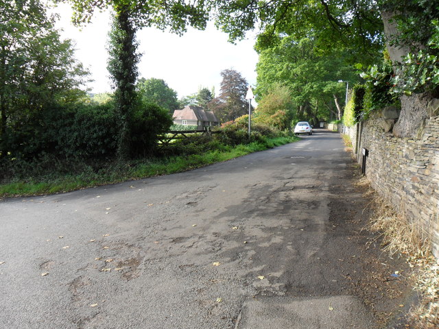
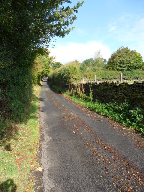
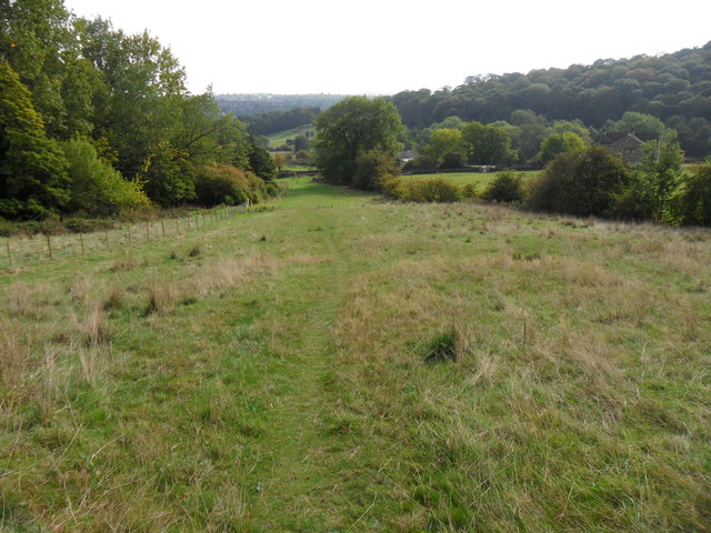
Leigh Fields is a picturesque region located in Yorkshire, England. Situated in the northern part of the county, it encompasses a diverse landscape that includes downs and moorland. Spanning over a vast area, Leigh Fields is renowned for its natural beauty and tranquility, attracting both locals and tourists alike.
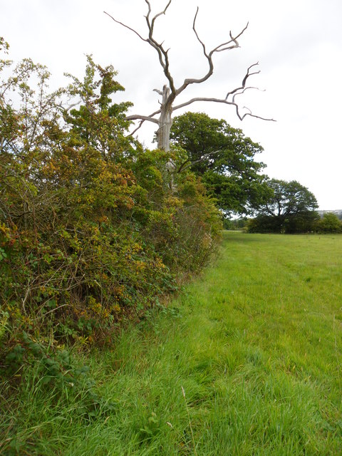
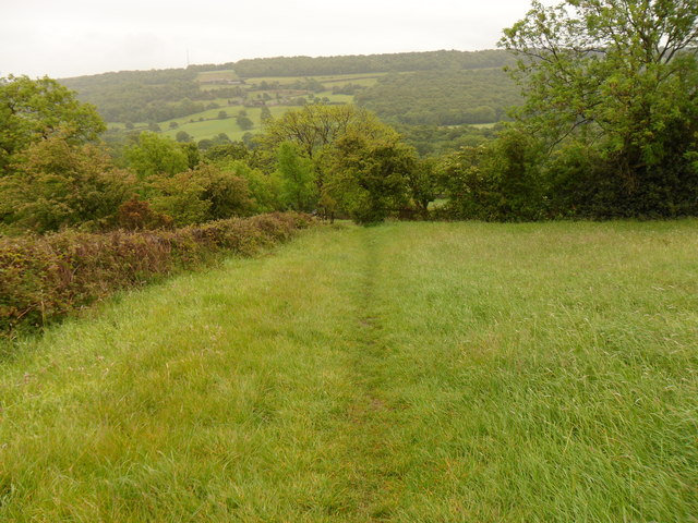
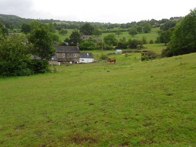
The downs of Leigh Fields offer stunning panoramic views and rolling hills, creating a scenic backdrop for outdoor enthusiasts. The green pastures are often dotted with grazing sheep, adding to the idyllic charm of the area. Hiking and walking trails crisscross the downs, providing ample opportunities for exploration and adventure.
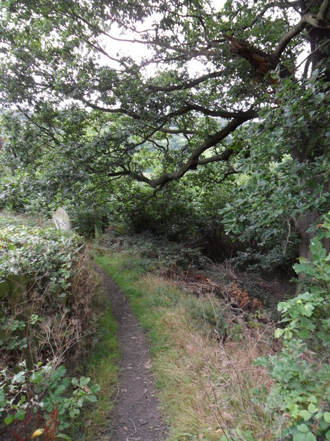
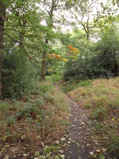
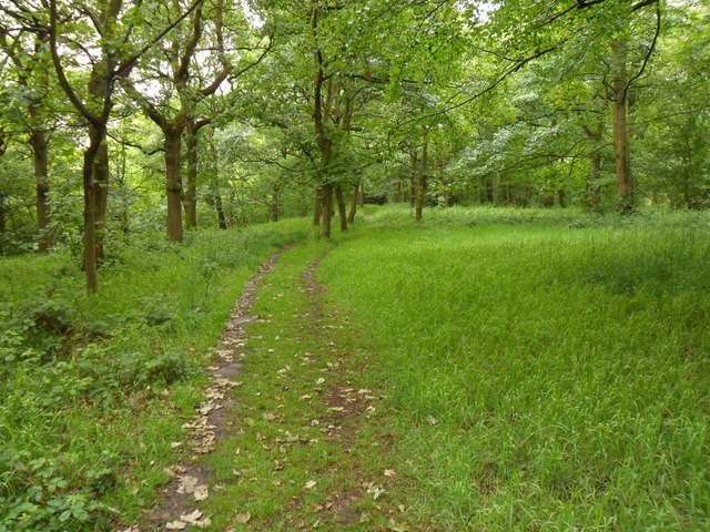
In contrast, the moorland of Leigh Fields reveals a rugged and wild terrain. This untamed landscape is characterized by vast expanses of heather, rocky outcrops, and meandering streams. The moorland is home to a variety of wildlife, including birds of prey, hares, and the occasional deer. It is a paradise for birdwatchers and nature lovers, offering a chance to spot rare species in their natural habitat.
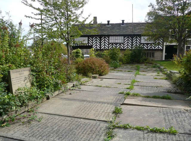
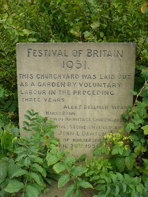
Leigh Fields boasts a rich history, with ancient ruins and archaeological sites scattered throughout the region. These remnants from the past provide a glimpse into the area's heritage and offer opportunities for historical exploration. Additionally, the quaint villages and charming market towns in the vicinity of Leigh Fields provide a taste of traditional Yorkshire life, with their historic buildings, local shops, and friendly communities.
Overall, Leigh Fields in Yorkshire is a haven for those seeking a tranquil escape in nature. Its stunning downs and captivating moorland make it a must-visit destination for anyone looking to immerse themselves in the beauty of the English countryside.
If you have any feedback on the listing, please let us know in the comments section below.
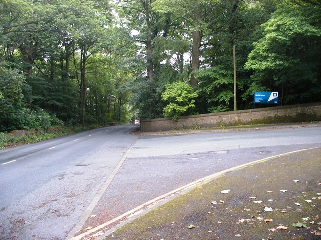
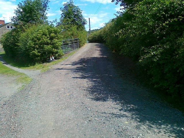
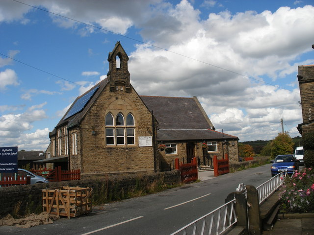
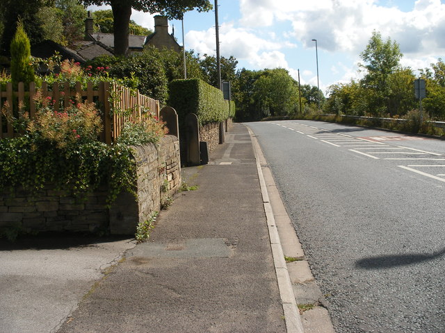
Leigh Fields Images
Images are sourced within 2km of 53.617181/-1.7372766 or Grid Reference SE1713. Thanks to Geograph Open Source API. All images are credited.


Leigh Fields is located at Grid Ref: SE1713 (Lat: 53.617181, Lng: -1.7372766)
Division: West Riding
Unitary Authority: Kirklees
Police Authority: West Yorkshire
What 3 Words
///lakes.campus.packets. Near Kirkburton, West Yorkshire
Nearby Locations
Related Wikis

South Pennines
The South Pennines is a region of moorland and hill country in northern England lying towards the southern end of the Pennines. In the west it includes...

Storthes Hall
Storthes Hall is part of the civil parish of Kirkburton in West Yorkshire, England. A heavily wooded area, it comprises a single road, Storthes Hall Lane...
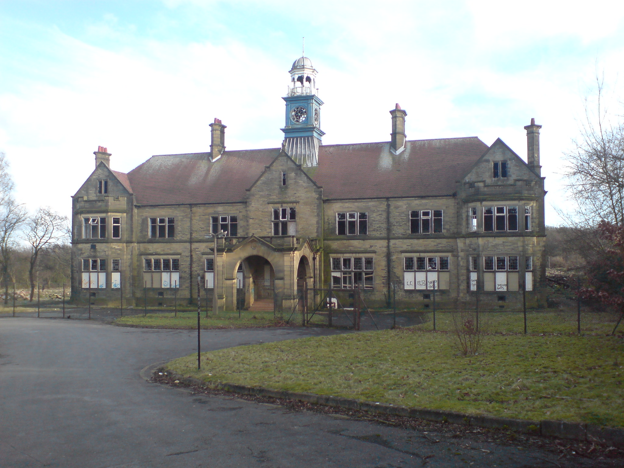
Storthes Hall Hospital
Storthes Hall Hospital was a mental health facility at Storthes Hall, Huddersfield, West Yorkshire, England. Founded in 1904, it expanded to over 3,000...
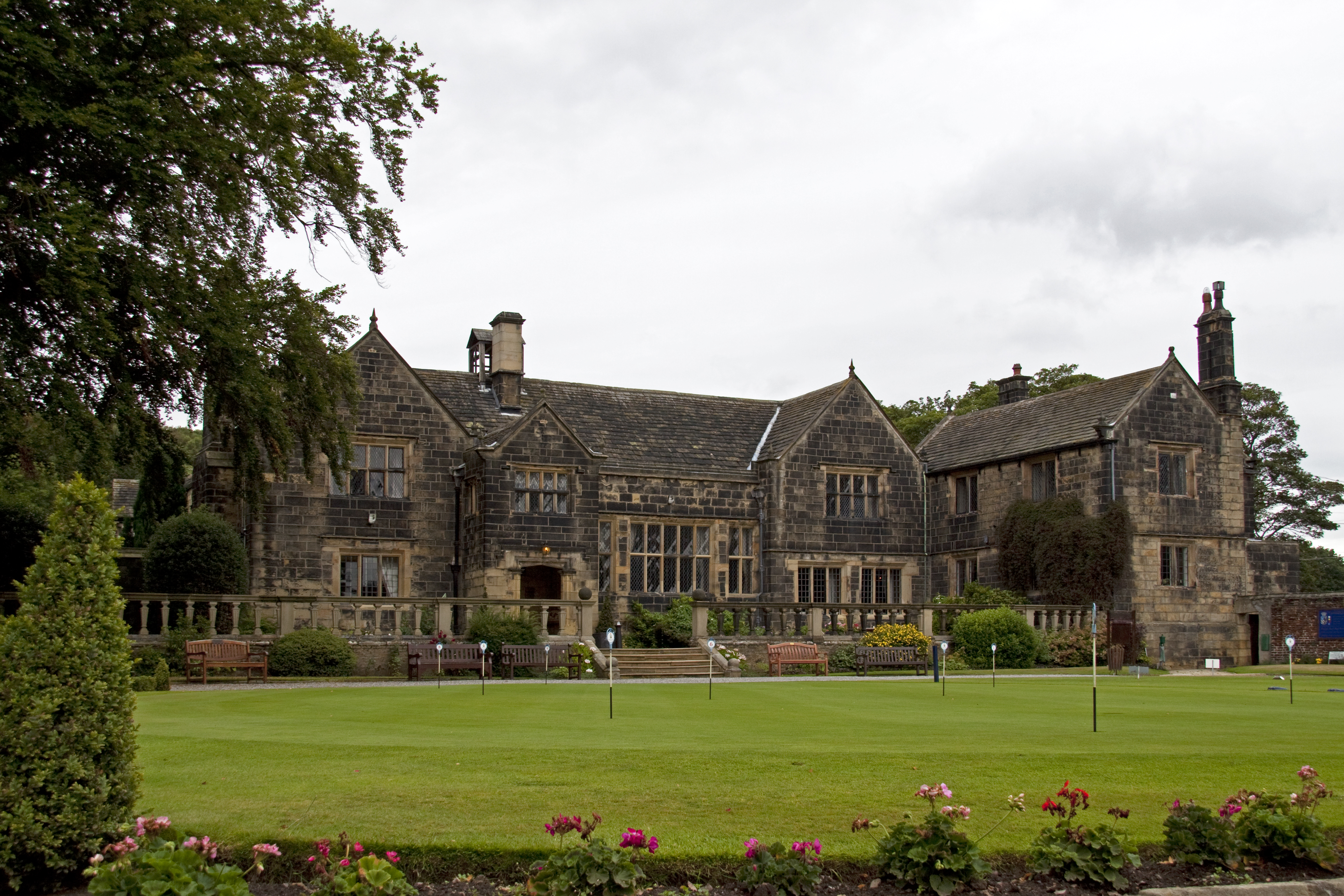
Woodsome Hall
Woodsome Hall is a 16th-century country house in the parish of Almondbury, near Huddersfield, West Yorkshire, England. It is now the clubhouse of Woodsome...
Nearby Amenities
Located within 500m of 53.617181,-1.7372766Have you been to Leigh Fields?
Leave your review of Leigh Fields below (or comments, questions and feedback).