Topping Moor
Downs, Moorland in Yorkshire
England
Topping Moor
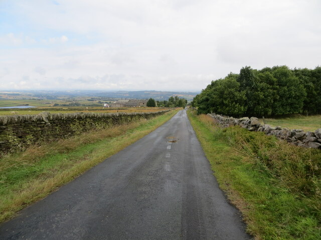
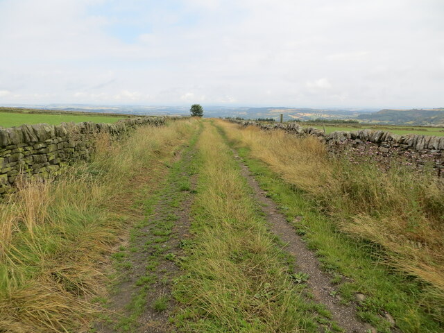
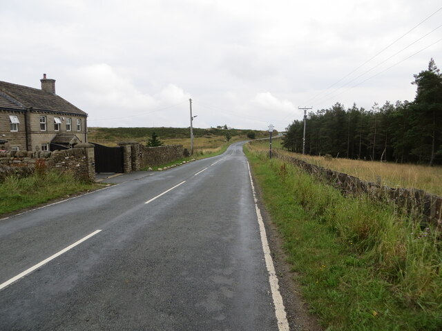
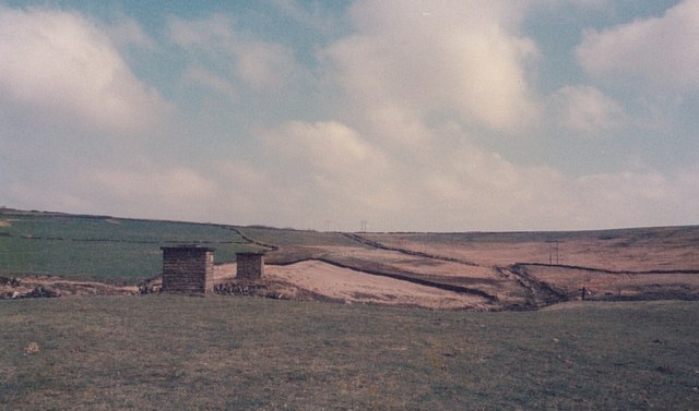
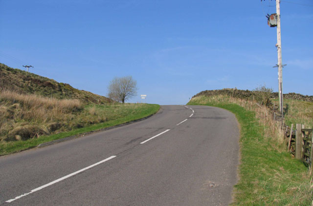
Topping Moor is a vast expanse of moorland located in the county of Yorkshire, England. Situated in the Yorkshire Downs, it covers an extensive area and is renowned for its stunning natural beauty and rugged landscapes. The moorland is characterized by its rolling hills, heather-covered slopes, and vast open spaces, offering breathtaking panoramic views of the surrounding countryside.
The area is rich in biodiversity and is home to a variety of flora and fauna. Topping Moor is particularly known for its heather, which blooms in vibrant shades of purple during the summer months, creating a captivating and picturesque sight. The moorland also supports a range of other plant species, including bilberry, cotton grass, and various species of grasses.
In addition to its natural beauty, Topping Moor holds historical significance. It has been inhabited for centuries and is dotted with ancient remains, such as burial mounds and stone circles, which stand as a testament to its long and storied past. The moorland has also served as a grazing ground for livestock throughout history, with evidence of traditional farming practices still visible today.
Topping Moor offers a wealth of recreational opportunities for visitors. Its vast open spaces provide ample room for activities such as hiking, walking, and birdwatching. The moorland is home to a variety of bird species, including grouse, curlew, and lapwing, making it a haven for bird enthusiasts. The rugged terrain also attracts mountain bikers and off-road enthusiasts looking for an adrenaline-filled adventure.
In conclusion, Topping Moor is a captivating and diverse landscape that showcases the natural beauty and rich history of Yorkshire. Its combination of stunning vistas, unique flora and fauna, and historical significance make it a must-visit destination for nature lovers and history enthusiasts alike.
If you have any feedback on the listing, please let us know in the comments section below.
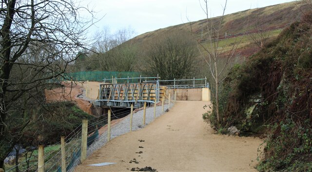
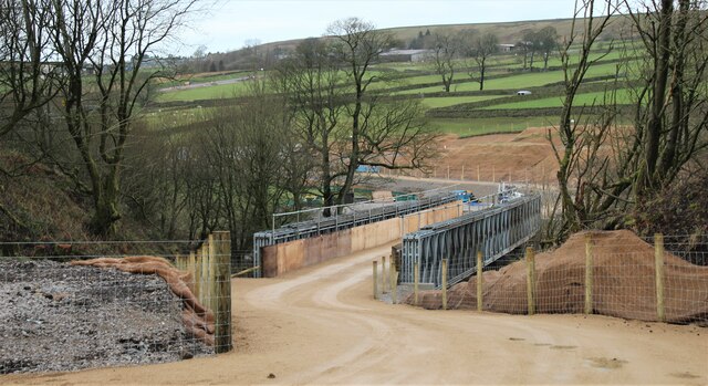
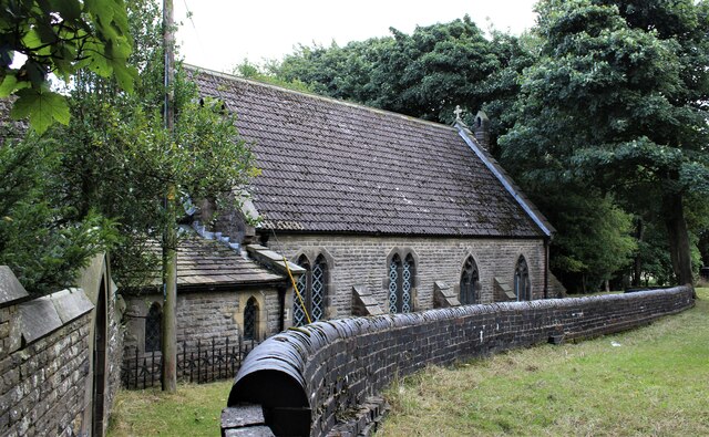
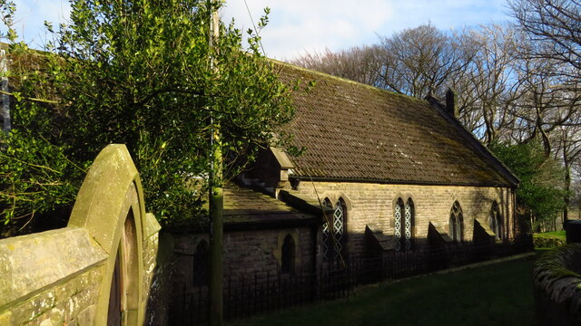
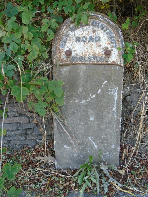
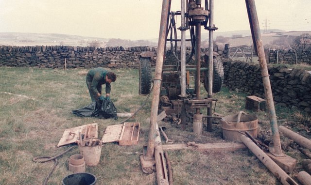
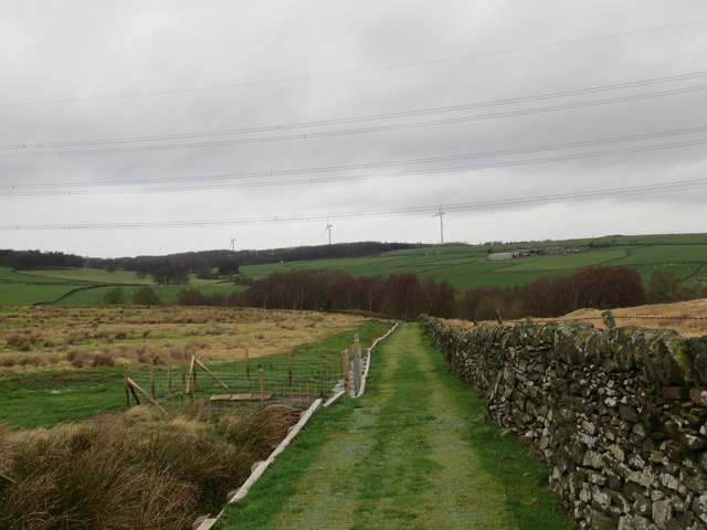
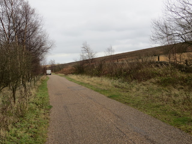
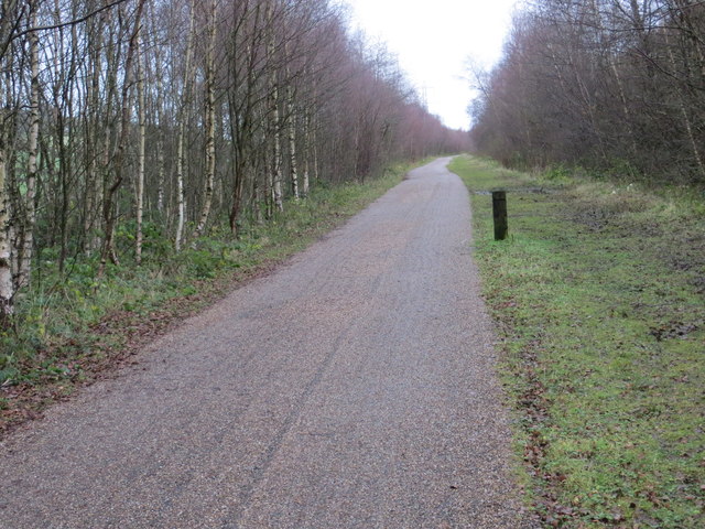
Topping Moor Images
Images are sourced within 2km of 53.529016/-1.7377315 or Grid Reference SE1703. Thanks to Geograph Open Source API. All images are credited.

Topping Moor is located at Grid Ref: SE1703 (Lat: 53.529016, Lng: -1.7377315)
Division: West Riding
Unitary Authority: Barnsley
Police Authority: South Yorkshire
What 3 Words
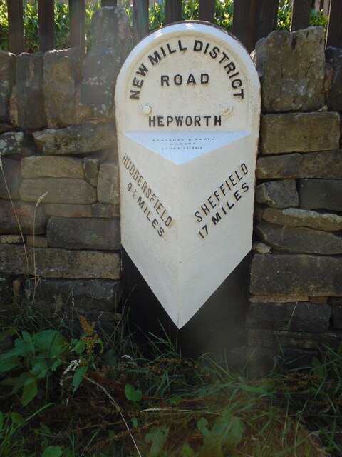
///barrel.detained.toward. Near Holmfirth, West Yorkshire
Nearby Locations
Related Wikis

Carlecotes
Carlecotes is a village in the metropolitan borough of Barnsley in South Yorkshire, England. Carlecotes is within Dunford civil parish. The village is...

Dunford
Dunford is a civil parish in the Metropolitan Borough of Barnsley, 14.5 miles (23.3 km) northwest of Sheffield in South Yorkshire, England. It lies in...

Crow Edge
Crow Edge is a hamlet in Dunford civil parish, situated on the A616, two miles southeast of Hepworth, West Yorkshire in the metropolitan borough of Barnsley...

Dunford Bridge
Dunford Bridge is a remote hamlet in the civil parish of Dunford, lying northwest of Sheffield in South Yorkshire, England, 1.3 miles (2 km) from the...
Nearby Amenities
Located within 500m of 53.529016,-1.7377315Have you been to Topping Moor?
Leave your review of Topping Moor below (or comments, questions and feedback).