Carr Wood
Wood, Forest in Yorkshire
England
Carr Wood

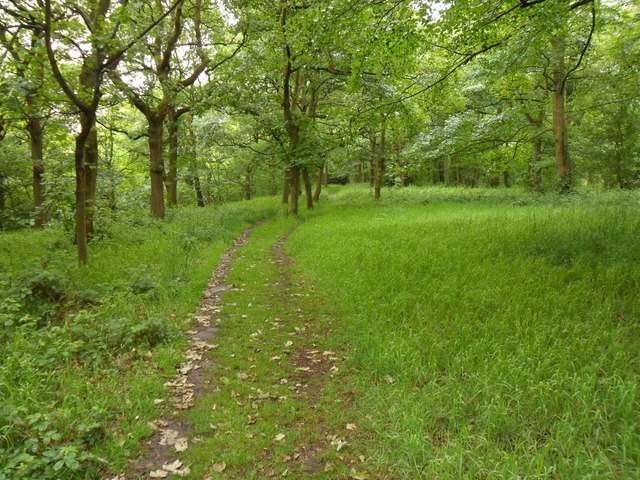
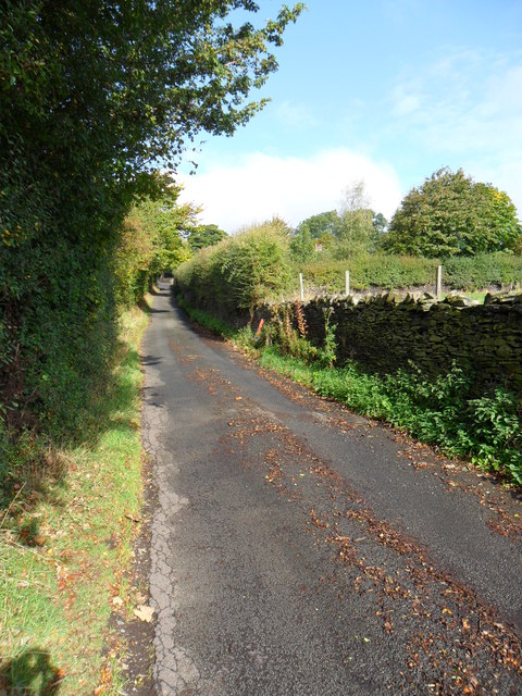
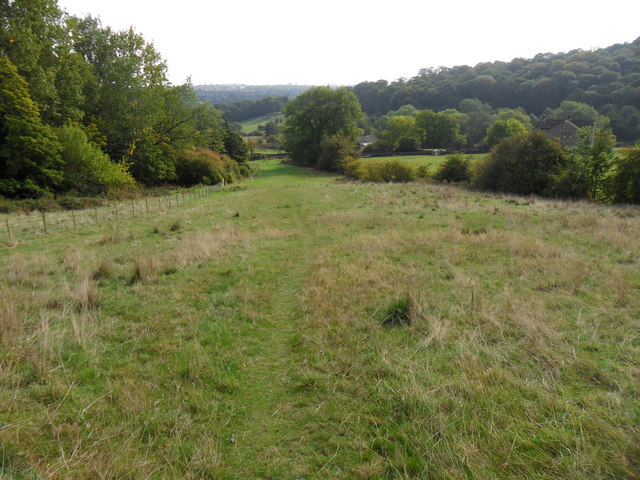
Carr Wood is a picturesque woodland located in the county of Yorkshire, England. Situated near the village of Wood, the forest covers a vast area of approximately 100 hectares. It is known for its diverse range of flora and fauna, making it a popular destination for nature enthusiasts and hikers alike.
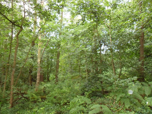
The woodland is dominated by a mixture of deciduous and coniferous trees, including oak, beech, and pine. These trees provide a dense canopy, which allows for the growth of various understory plants such as bluebells, ferns, and wild garlic. The forest floor is also carpeted with a rich layer of moss and fallen leaves, creating a tranquil and serene atmosphere.
Carr Wood is home to a diverse range of wildlife, including several species of birds, mammals, and insects. Birdwatchers can spot species such as woodpeckers, owls, and various songbirds. Mammals that inhabit the woodland include deer, foxes, and squirrels. The forest is also home to a variety of butterflies, bees, and beetles, making it a haven for insect enthusiasts.
The woodland provides an opportunity for various recreational activities such as walking, jogging, and cycling. There are well-maintained trails that meander through the forest, allowing visitors to explore its beauty at their own pace. Picnic areas and benches are scattered throughout the woodland, providing a perfect spot for visitors to relax and enjoy the peaceful surroundings.
Overall, Carr Wood in Yorkshire is a stunning forest that offers a tranquil escape from the hustle and bustle of everyday life. With its diverse flora and fauna, it is a haven for nature lovers and a must-visit destination for anyone seeking to immerse themselves in the beauty of Yorkshire's countryside.
If you have any feedback on the listing, please let us know in the comments section below.
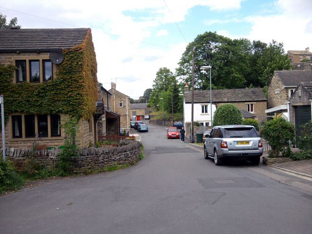
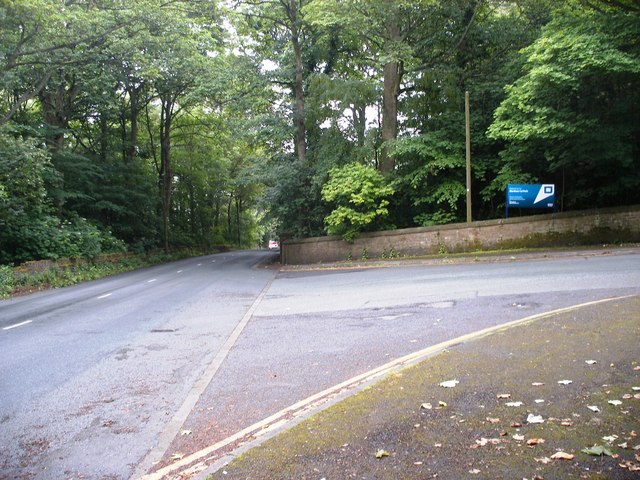
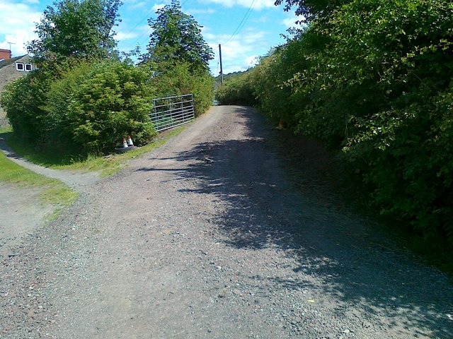
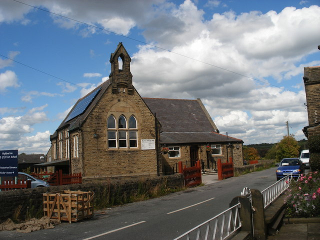
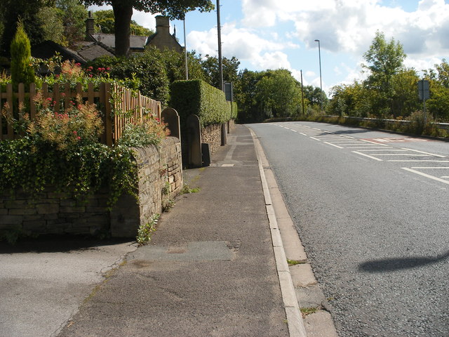
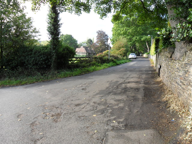
Carr Wood Images
Images are sourced within 2km of 53.615585/-1.7307412 or Grid Reference SE1713. Thanks to Geograph Open Source API. All images are credited.


Carr Wood is located at Grid Ref: SE1713 (Lat: 53.615585, Lng: -1.7307412)
Division: West Riding
Unitary Authority: Kirklees
Police Authority: West Yorkshire
What 3 Words
///replaying.physical.swept. Near Kirkburton, West Yorkshire
Nearby Locations
Related Wikis

Storthes Hall
Storthes Hall is part of the civil parish of Kirkburton in West Yorkshire, England. A heavily wooded area, it comprises a single road, Storthes Hall Lane...
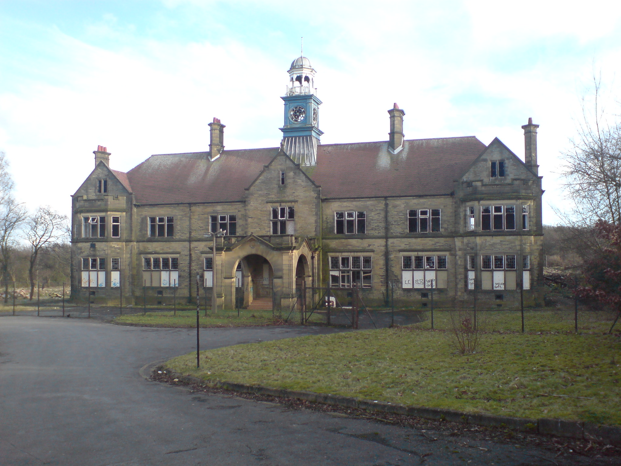
Storthes Hall Hospital
Storthes Hall Hospital was a mental health facility at Storthes Hall, Huddersfield, West Yorkshire, England. Founded in 1904, it expanded to over 3,000...

South Pennines
The South Pennines is a region of moorland and hill country in northern England lying towards the southern end of the Pennines. In the west it includes...

Kirkburton railway station
Kirkburton railway station served the village of Kirkburton, West Yorkshire, England until closure in 1930. == History == The Huddersfield-Kirkburton Branch...
Nearby Amenities
Located within 500m of 53.615585,-1.7307412Have you been to Carr Wood?
Leave your review of Carr Wood below (or comments, questions and feedback).