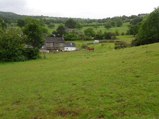
Lower High Fields
Downs, Moorland in Yorkshire
England
Lower High Fields

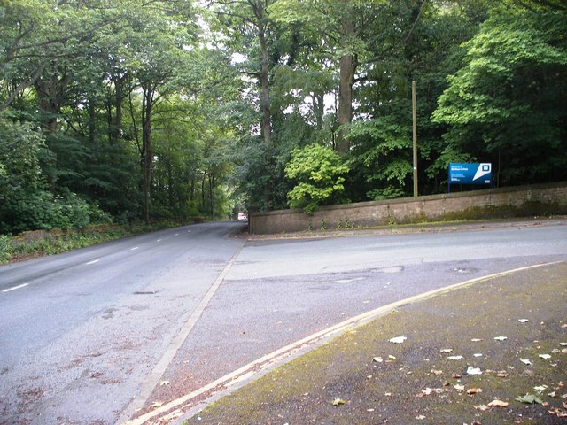
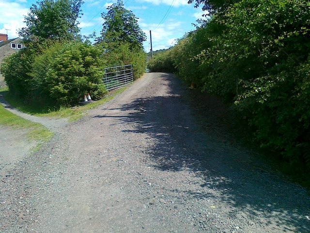
Lower High Fields is a picturesque region located in the county of Yorkshire, known for its stunning Downs and Moorland landscapes. Situated in the northern part of England, this area is renowned for its natural beauty and diverse wildlife.
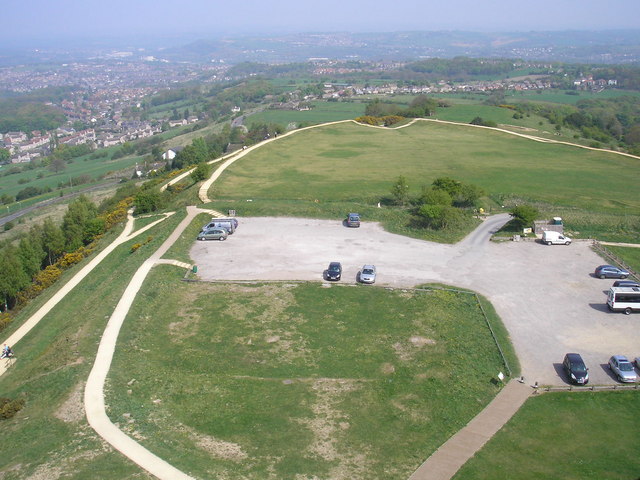
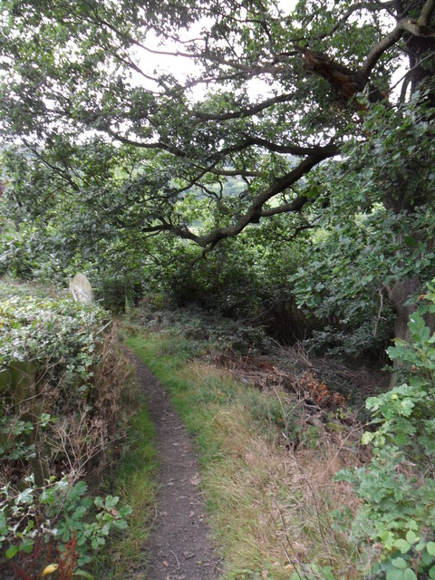
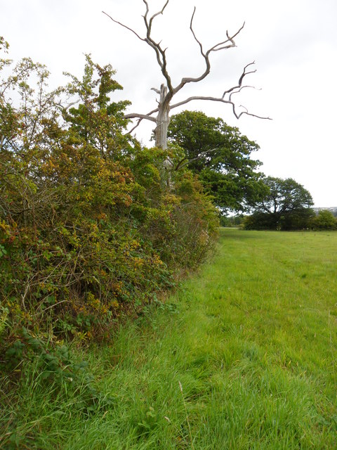
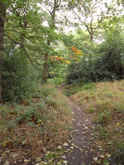
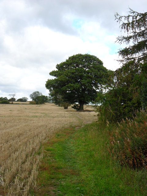
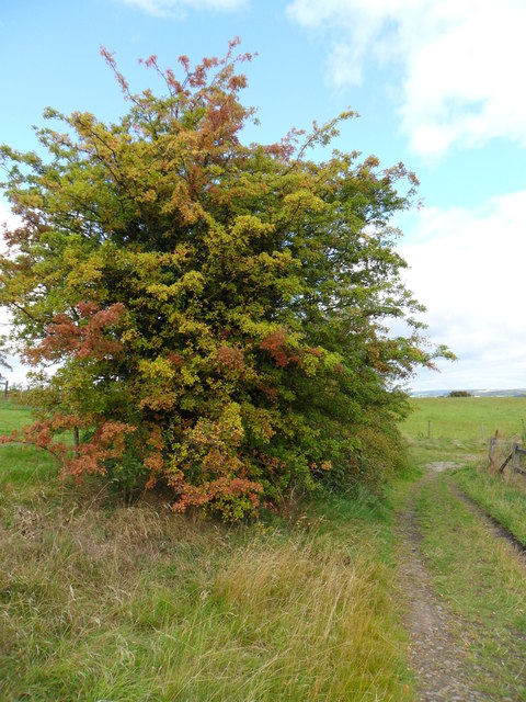
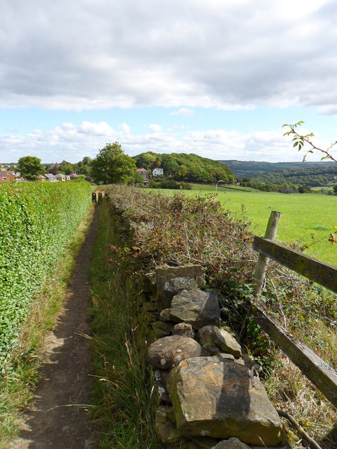
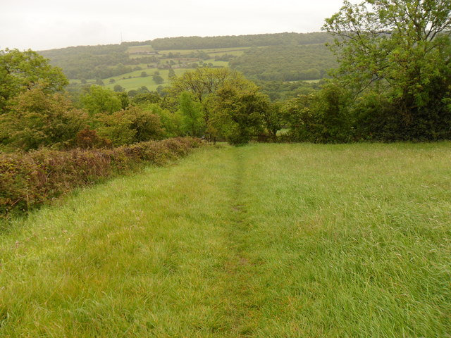
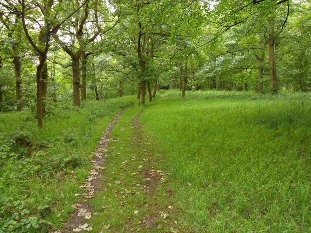
The Downs of Lower High Fields offer breathtaking views of rolling hills and expansive meadows. These grassy uplands are adorned with vibrant wildflowers during the spring and summer months, making it a popular destination for nature enthusiasts and hikers. Visitors can enjoy long walks along the well-maintained trails, taking in the panoramic vistas and observing the abundance of birdlife that calls this area home.
The Moorland in Lower High Fields boasts a unique and rugged beauty. Characterized by vast stretches of open land, heather-covered hills, and scattered boulders, this terrain is a haven for wildlife such as red grouse and various species of birds of prey. The Moorland is also rich in archaeological sites, with traces of ancient settlements and burial mounds dating back thousands of years.
In addition to its natural wonders, Lower High Fields offers a tranquil and serene atmosphere. The region is dotted with charming villages and small towns, where visitors can experience the warmth and hospitality of the local community. Traditional pubs, tea rooms, and farm shops provide opportunities to sample delicious local produce and immerse oneself in the region's cultural heritage.
Overall, Lower High Fields in Yorkshire is a must-visit destination for those seeking a peaceful retreat surrounded by stunning natural landscapes and a touch of rural charm.
If you have any feedback on the listing, please let us know in the comments section below.
Lower High Fields Images
Images are sourced within 2km of 53.618011/-1.7427137 or Grid Reference SE1713. Thanks to Geograph Open Source API. All images are credited.


Lower High Fields is located at Grid Ref: SE1713 (Lat: 53.618011, Lng: -1.7427137)
Division: West Riding
Unitary Authority: Kirklees
Police Authority: West Yorkshire
What 3 Words
///fabric.dumpy.heartburn. Near Kirkburton, West Yorkshire
Nearby Locations
Related Wikis

South Pennines
The South Pennines is a region of moorland and hill country in northern England lying towards the southern end of the Pennines. In the west it includes...

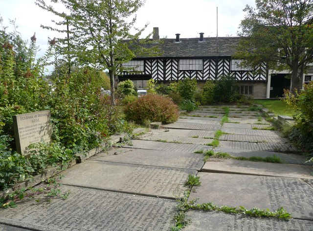
Farnley Tyas
Farnley Tyas is a village in the parish of Kirkburton, in the Kirklees district, in the county of West Yorkshire, England 3 miles (4.8 km) south east of...

Storthes Hall
Storthes Hall is part of the civil parish of Kirkburton in West Yorkshire, England. A heavily wooded area, it comprises a single road, Storthes Hall Lane...
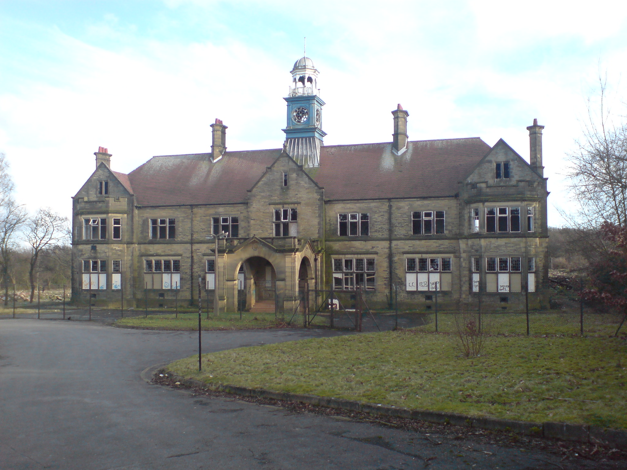
Storthes Hall Hospital
Storthes Hall Hospital was a mental health facility at Storthes Hall, Huddersfield, West Yorkshire, England. Founded in 1904, it expanded to over 3,000...
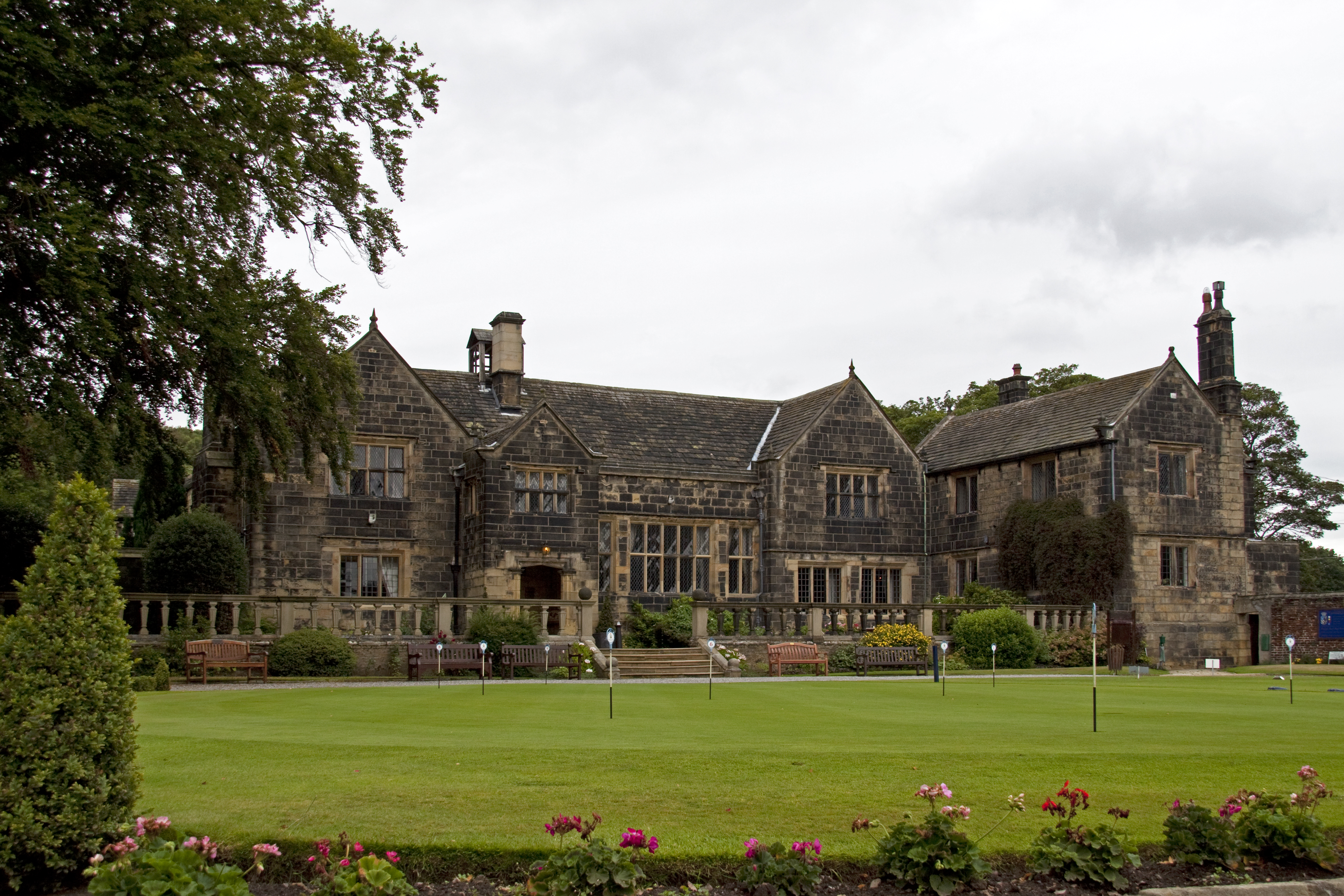
Woodsome Hall
Woodsome Hall is a 16th-century country house in the parish of Almondbury, near Huddersfield, West Yorkshire, England. It is now the clubhouse of Woodsome...

King James's School, Almondbury
King James's School is a coeducational secondary school located in Almondbury in the English county of West Yorkshire. == History == King James's Grammar...
Huddersfield Town F.C. Women
Huddersfield Town Women Football Club is an English women's football club based in Huddersfield, West Yorkshire. The team play their homes matches at the...
Shelley C.F.C.
Shelley Community Football Club is a football club based in Shelley, West Yorkshire, England. They are currently members of the North West Counties League...
Nearby Amenities
Located within 500m of 53.618011,-1.7427137Have you been to Lower High Fields?
Leave your review of Lower High Fields below (or comments, questions and feedback).