Netherton
Settlement in Yorkshire
England
Netherton
Netherton is a small village located in the metropolitan borough of Kirklees, West Yorkshire, England. Situated just a few miles south of Huddersfield, Netherton is surrounded by beautiful countryside and has a population of around 2,000 residents.
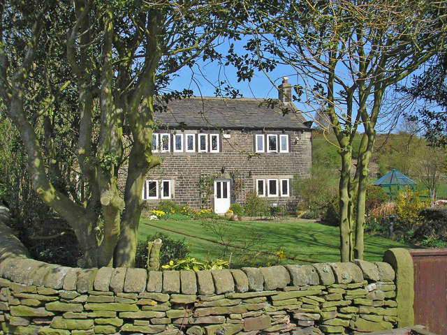
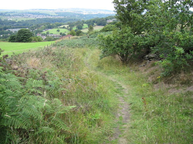
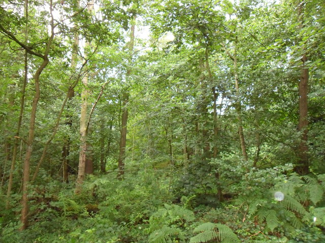
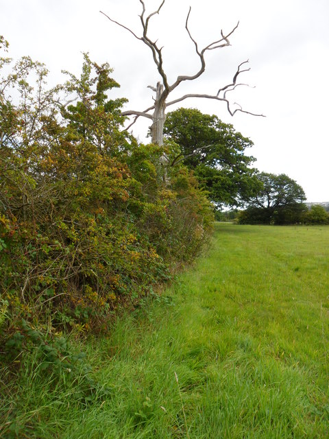
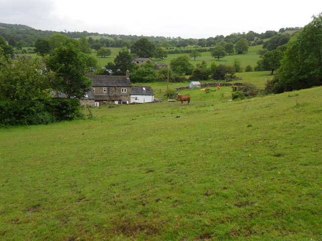
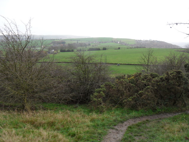
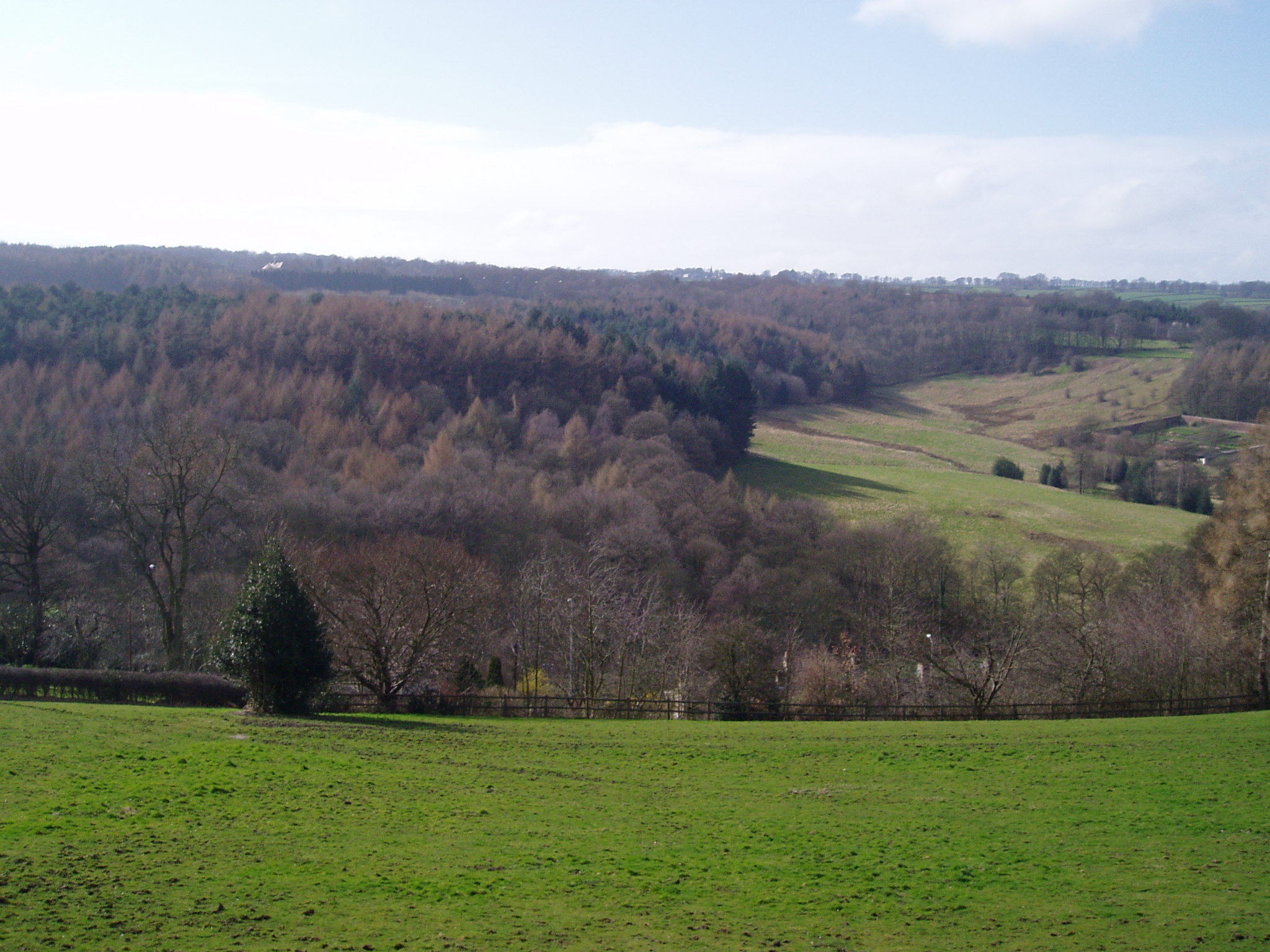
The village is known for its picturesque setting, with rolling hills, green fields, and charming stone cottages dotting the landscape. It has a rich history and was mentioned in the Domesday Book of 1086. The village's name is derived from the Old English words "nether" meaning lower, and "tun" meaning farmstead or village.
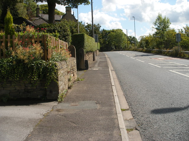
Netherton has a close-knit community and offers a range of amenities for its residents. There is a primary school, a village hall, a post office, and a few local shops catering to everyday needs. The village also boasts several traditional pubs where locals and visitors can enjoy a pint of ale and sample hearty Yorkshire cuisine.
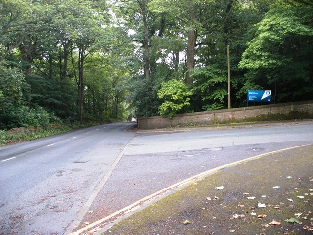
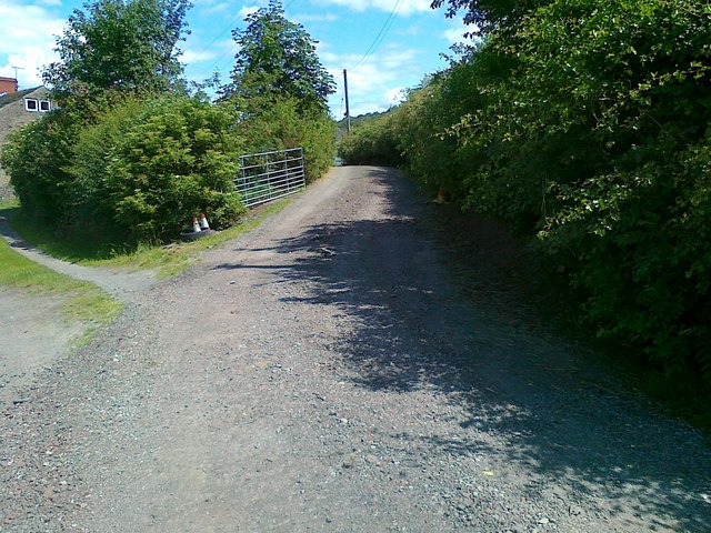
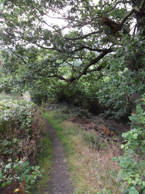
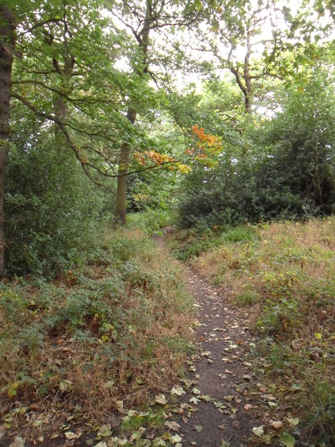
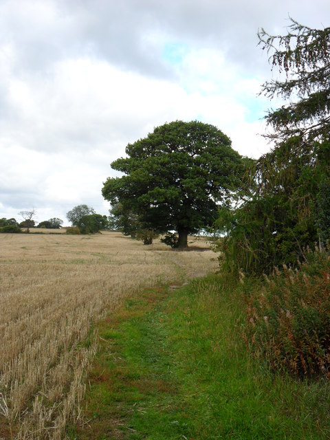
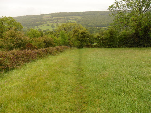
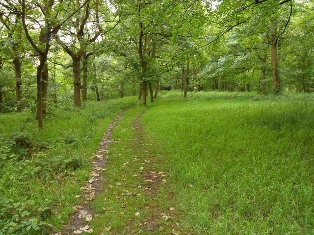
For outdoor enthusiasts, Netherton provides easy access to stunning countryside walks and cycling routes. The nearby National Trust property, Marsden Moor Estate, offers extensive moorland, reservoirs, and wildlife for nature lovers to explore. The village is also well-connected, with regular bus services linking it to Huddersfield and other nearby towns.
Overall, Netherton offers a peaceful and idyllic setting, making it an attractive place to live for those seeking a quieter rural lifestyle while still enjoying the convenience of nearby urban amenities.
If you have any feedback on the listing, please let us know in the comments section below.
Netherton Images
Images are sourced within 2km of 53.611403/-1.7418469 or Grid Reference SE1712. Thanks to Geograph Open Source API. All images are credited.


Netherton is located at Grid Ref: SE1712 (Lat: 53.611403, Lng: -1.7418469)
Division: West Riding
Unitary Authority: Kirklees
Police Authority: West Yorkshire
What 3 Words
///glee.scariest.pinch. Near Kirkburton, West Yorkshire
Related Wikis

Farnley Tyas
Farnley Tyas is a village in the parish of Kirkburton, in the Kirklees district, in the county of West Yorkshire, England 3 miles (4.8 km) south east of...

Storthes Hall
Storthes Hall is part of the civil parish of Kirkburton in West Yorkshire, England. A heavily wooded area, it comprises a single road, Storthes Hall Lane...
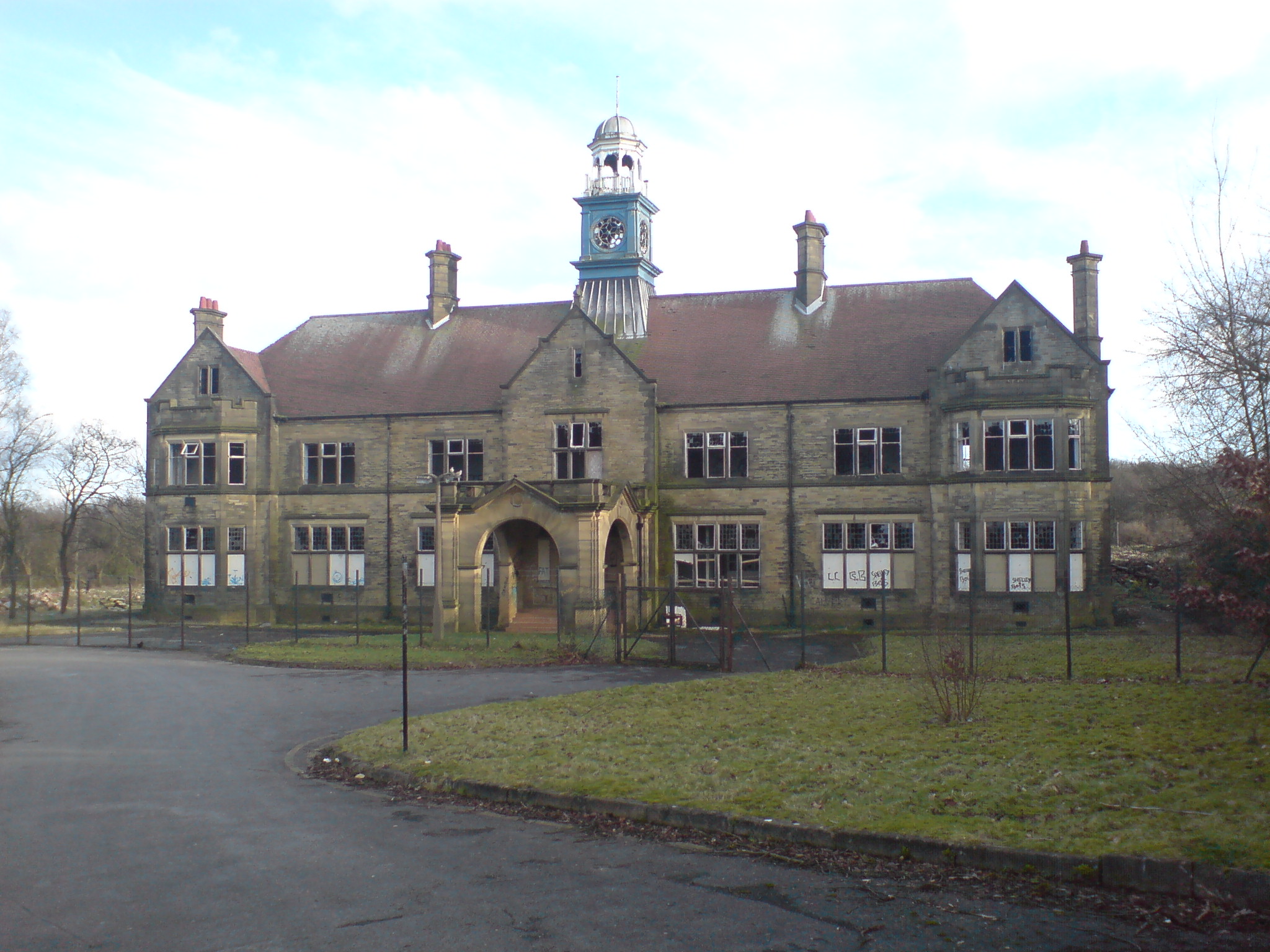
Storthes Hall Hospital
Storthes Hall Hospital was a mental health facility at Storthes Hall, Huddersfield, West Yorkshire, England. Founded in 1904, it expanded to over 3,000...

South Pennines
The South Pennines is a region of moorland and hill country in northern England lying towards the southern end of the Pennines. In the west it includes...

Huddersfield Town F.C. Women
Huddersfield Town Women Football Club is an English women's football club based in Huddersfield, West Yorkshire. The team play their homes matches at the...
Shelley C.F.C.
Shelley Community Football Club is a football club based in Shelley, West Yorkshire, England. They are currently members of the North West Counties League...
Myers Wood
Myers Wood is a wooded area in the village of Kirkburton, West Yorkshire, England. It forms part of a heavily forested area to the west of the village...
Thurstonland and Farnley Tyas Urban District
Thurstonland and Farnley Tyas was an urban district in the West Riding of Yorkshire from 1925 to 1938. It was created in 1925 by the merger of the Thurstonland...
Nearby Amenities
Located within 500m of 53.611403,-1.7418469Have you been to Netherton?
Leave your review of Netherton below (or comments, questions and feedback).