Burnt Hill
Hill, Mountain in Yorkshire
England
Burnt Hill
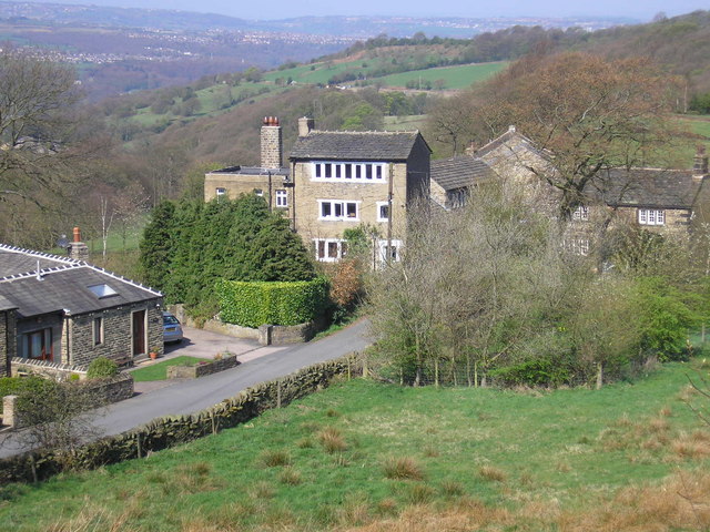
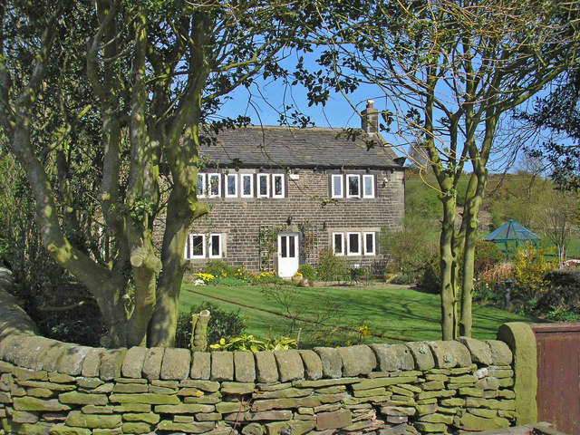
Burnt Hill is a prominent geographical feature located in the picturesque region of Yorkshire, England. Situated in the southern part of the county, this hill stands proudly at an elevation of approximately 350 meters above sea level, making it a notable landmark in the area.
The hill, as its name suggests, is characterized by its distinctive burnt appearance, which is a result of the unique geological composition of its soil. The reddish-brown soil, rich in iron oxide, lends the hill its striking color and adds to its visual appeal.
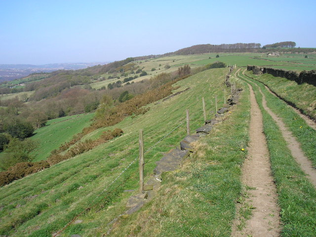
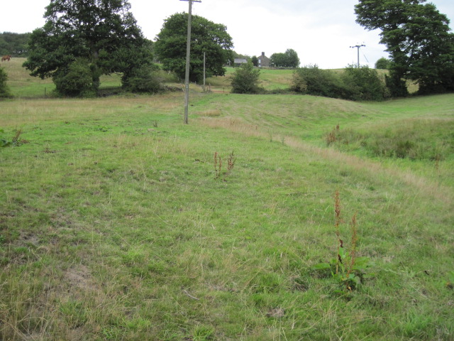
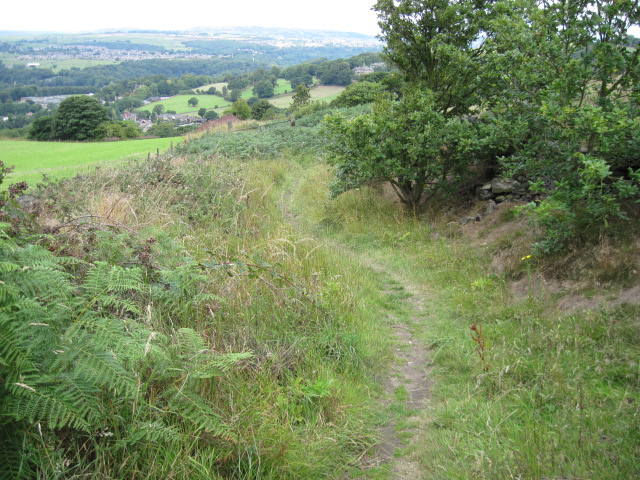
With its commanding height, Burnt Hill offers breathtaking panoramic views of the surrounding countryside. On a clear day, visitors are rewarded with vistas that stretch for miles, showcasing the rolling hills, lush green valleys, and quaint villages that dot the landscape of Yorkshire.
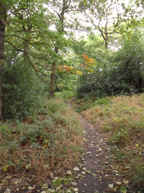
The hill is a haven for nature enthusiasts and hikers, as it boasts a network of well-maintained trails that wind their way through its slopes. These trails cater to both beginners and experienced hikers, ensuring that everyone can enjoy the beauty and tranquility of Burnt Hill.
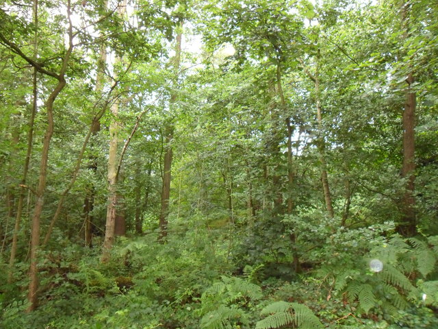
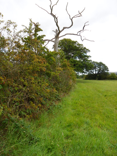
Flora and fauna are abundant on Burnt Hill, with an array of wildflowers, grasses, and shrubs dotting its slopes. The hill is also home to various bird species, including kestrels and skylarks, which add to the charm of the area.
Overall, Burnt Hill is a captivating natural feature in Yorkshire, offering visitors a chance to immerse themselves in the beauty of this picturesque region while enjoying stunning views and exploring its diverse landscape.
If you have any feedback on the listing, please let us know in the comments section below.
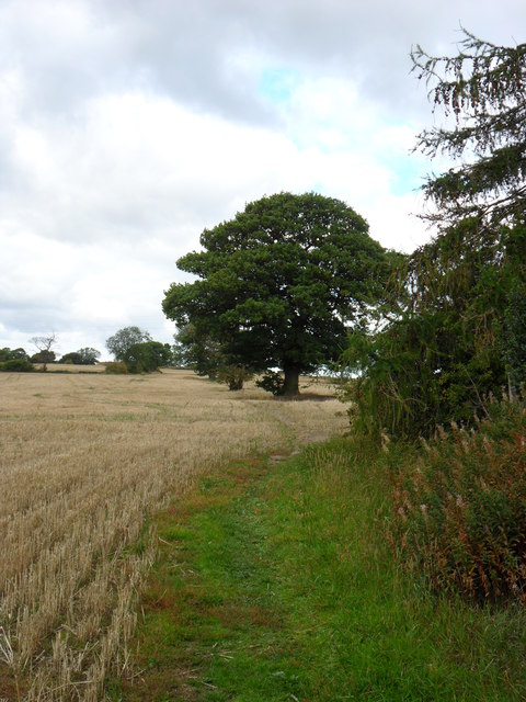
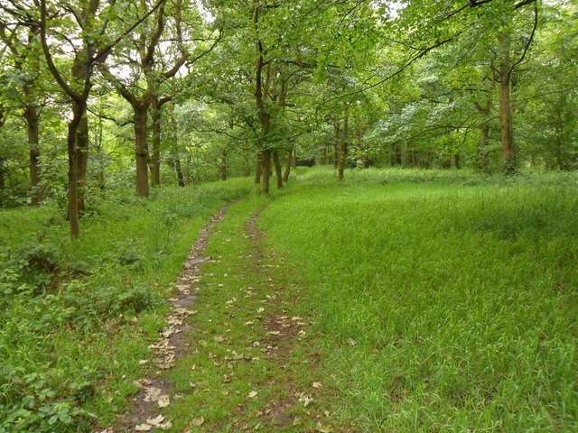
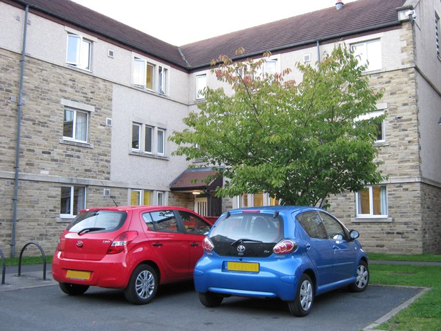
Burnt Hill Images
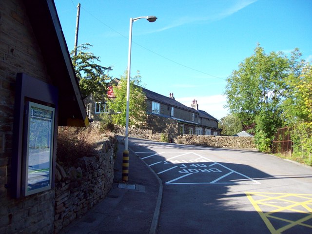
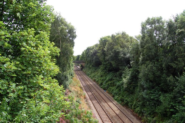
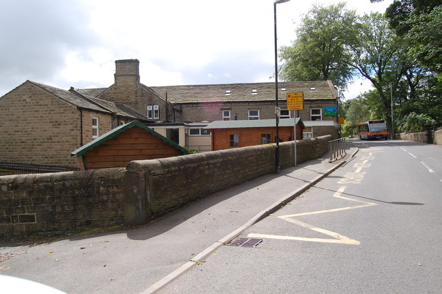
Images are sourced within 2km of 53.606193/-1.7437526 or Grid Reference SE1712. Thanks to Geograph Open Source API. All images are credited.


Burnt Hill is located at Grid Ref: SE1712 (Lat: 53.606193, Lng: -1.7437526)
Division: West Riding
Unitary Authority: Kirklees
Police Authority: West Yorkshire
What 3 Words
///graver.beads.sand. Near Kirkburton, West Yorkshire
Nearby Locations
Related Wikis

Farnley Tyas
Farnley Tyas is a village in the parish of Kirkburton, in the Kirklees district, in the county of West Yorkshire, England 3 miles (4.8 km) south east of...

Thurstonland and Farnley Tyas Urban District
Thurstonland and Farnley Tyas was an urban district in the West Riding of Yorkshire from 1925 to 1938. It was created in 1925 by the merger of the Thurstonland...

Storthes Hall
Storthes Hall is part of the civil parish of Kirkburton in West Yorkshire, England. A heavily wooded area, it comprises a single road, Storthes Hall Lane...
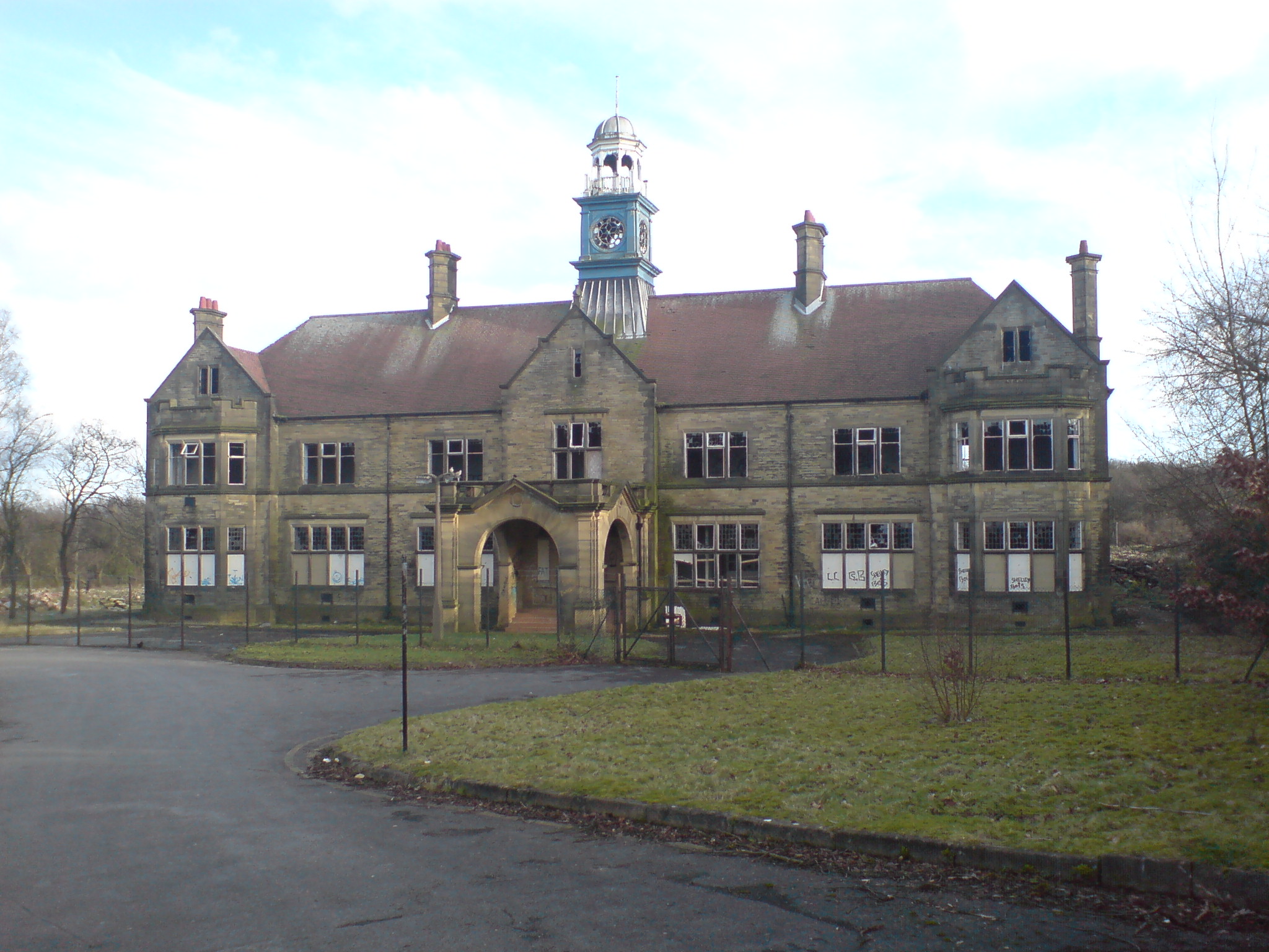
Storthes Hall Hospital
Storthes Hall Hospital was a mental health facility at Storthes Hall, Huddersfield, West Yorkshire, England. Founded in 1904, it expanded to over 3,000...
Huddersfield Town F.C. Women
Huddersfield Town Women Football Club is an English women's football club based in Huddersfield, West Yorkshire. The team play their homes matches at the...
Shelley C.F.C.
Shelley Community Football Club is a football club based in Shelley, West Yorkshire, England. They are currently members of the North West Counties League...

Church of St Thomas, Thurstonland
The Church of St Thomas, Thurstonland, West Yorkshire, England, is an Anglican church. It is an Arts and Crafts building in Gothic Revival style, designed...

South Pennines
The South Pennines is a region of moorland and hill country in northern England lying towards the southern end of the Pennines. In the west it includes...
Nearby Amenities
Located within 500m of 53.606193,-1.7437526Have you been to Burnt Hill?
Leave your review of Burnt Hill below (or comments, questions and feedback).