Black Hill
Hill, Mountain in Durham
England
Black Hill
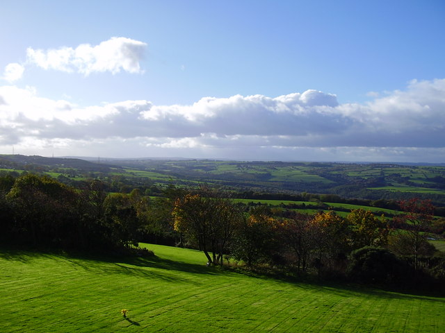
Black Hill is a prominent hill located in the county of Durham, England. Situated in the North Pennines Area of Outstanding Natural Beauty, the hill stands at an elevation of approximately 609 meters (1,998 feet) above sea level. It is one of the highest points in the county and offers breathtaking panoramic views of the surrounding countryside.
The hill is composed primarily of Carboniferous limestone, which gives it a distinctive dark appearance, hence the name Black Hill. It is a popular destination for hikers and nature enthusiasts due to its diverse flora and fauna, including heather moorland, grassland, and scattered trees.
The summit of Black Hill is marked by a trig point, providing a reference point for surveying and navigation. It is often used as a starting point for various walking routes, offering access to other notable landmarks in the area such as High Cup Nick and Cow Green Reservoir.
The hill attracts a wide range of wildlife, including birds such as curlews, lapwings, and skylarks. Rare species like the black grouse and ring ouzel can also be spotted in the vicinity. The surrounding moorland is home to an array of plant species, including bilberry, cotton grass, and heather.
Black Hill is not only a place of natural beauty but also holds historical significance. It is believed to have been a site of human activity since prehistoric times, with evidence of Bronze Age settlements nearby. The hill's strategic location also made it a potential lookout point during times of conflict.
Overall, Black Hill in Durham offers a captivating combination of natural beauty, wildlife, and historical importance, making it a must-visit destination for both locals and tourists alike.
If you have any feedback on the listing, please let us know in the comments section below.
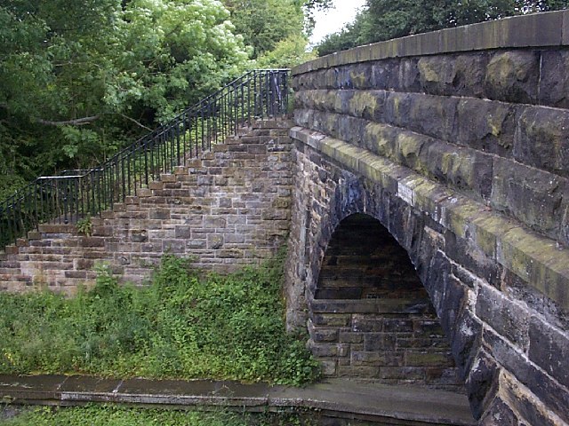
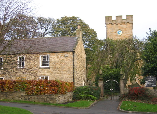
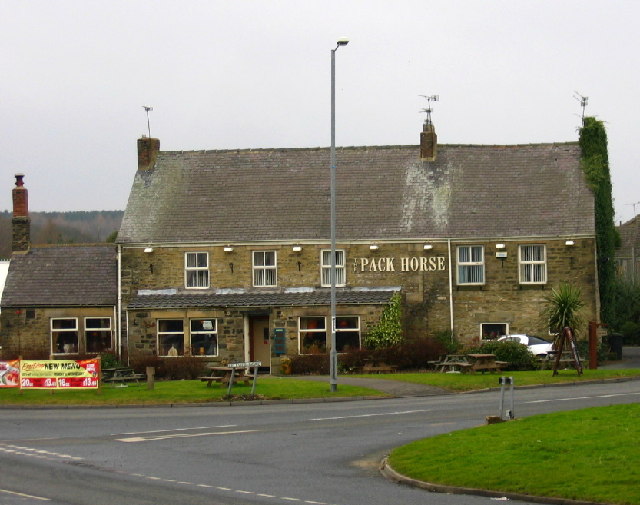
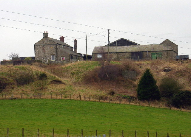
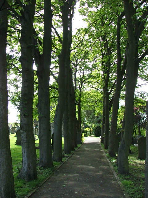
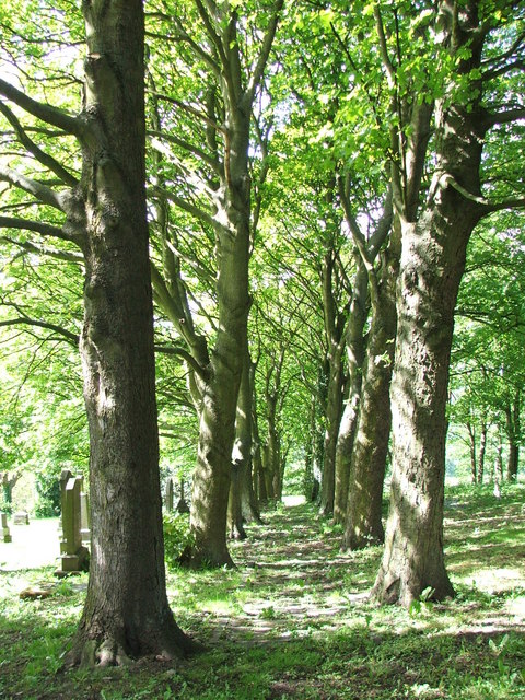
Black Hill Images
Images are sourced within 2km of 54.902756/-1.7356416 or Grid Reference NZ1756. Thanks to Geograph Open Source API. All images are credited.


Black Hill is located at Grid Ref: NZ1756 (Lat: 54.902756, Lng: -1.7356416)
Unitary Authority: County Durham
Police Authority: Durham
What 3 Words
///bead.circulate.marginal. Near Burnopfield, Co. Durham
Nearby Locations
Related Wikis

Burnopfield
Burnopfield is a village in County Durham, in England. It is situated north of Stanley and Annfield Plain, close to the River Derwent and is 564 feet above...
High Friarside
High Friarside is a village in County Durham, England. It is situated a short distance to the west of Burnopfield. == References ==
Pickering Nook
Pickering Nook is a small village in County Durham, in England. It is situated a few miles north of Annfield Plain and Stanley, on the A692 between Consett...
Hobson, County Durham
Hobson is a village in County Durham, in England. It is situated to the south of Burnopfield, north of Stanley and Annfield Plain. Hobson was a pit village...
Nearby Amenities
Located within 500m of 54.902756,-1.7356416Have you been to Black Hill?
Leave your review of Black Hill below (or comments, questions and feedback).