Bryan's Leap

Settlement in Durham

England

Bryan's Leap

The ruined Gibside Hall
The ruined Gibside Hall Credit: Clive Nicholson

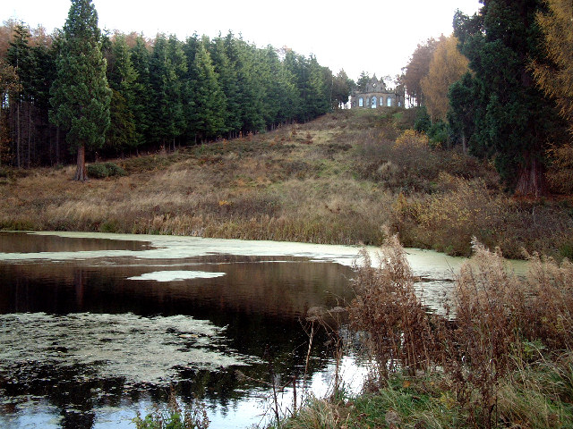
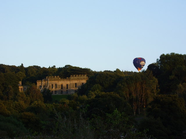
Bryan's Leap is a picturesque location situated in the city of Durham, England. Located on the outskirts of the city, Bryan's Leap offers a tranquil escape from the hustle and bustle of urban life. The site is known for its breathtaking views and natural beauty.

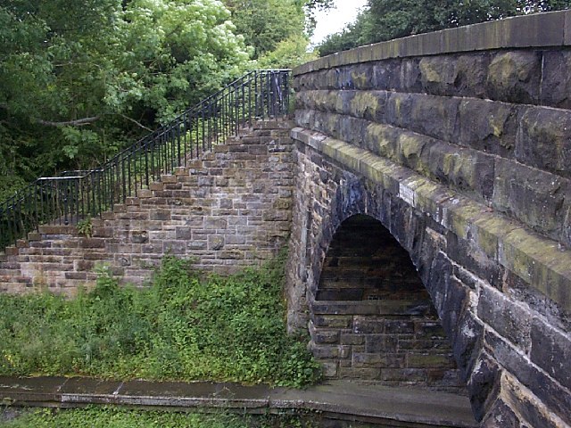
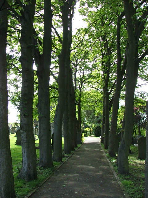
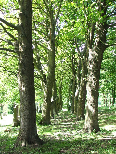
At Bryan's Leap, visitors are treated to stunning vistas of the surrounding countryside, with rolling green hills, meandering rivers, and charming rural landscapes. The area is particularly popular among nature enthusiasts and hikers, as it offers a variety of walking trails that wind through the picturesque scenery.

One of the standout features of Bryan's Leap is the eponymous leap itself – a large rock formation that juts out over the river below. It is said that the leap was named after a local legend involving a daring young man named Bryan, who purportedly made a daring jump from the rock formation into the river below.

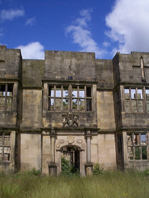
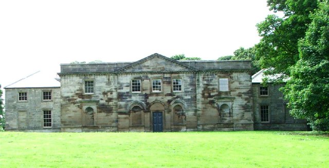
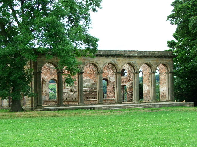
Aside from its natural beauty, Bryan's Leap also boasts a rich history. The area is dotted with remnants of old mills and farmsteads, providing a glimpse into the region's industrial past.

Overall, Bryan's Leap is a hidden gem in Durham, offering visitors a chance to immerse themselves in nature, explore scenic trails, and enjoy a tranquil escape from the city. Whether it is to admire the stunning views, embark on a hike, or simply unwind in the peaceful surroundings, Bryan's Leap is a must-visit destination for nature lovers and history enthusiasts alike.

If you have any feedback on the listing, please let us know in the comments section below.
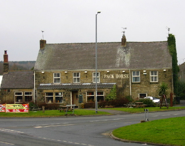
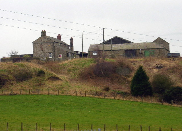
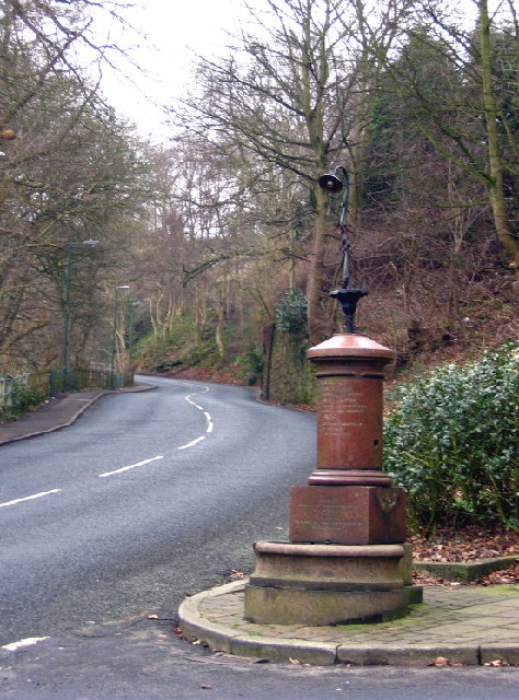
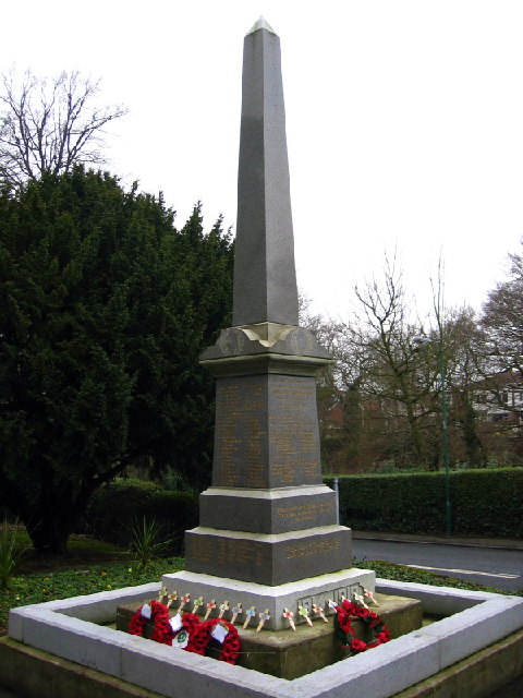
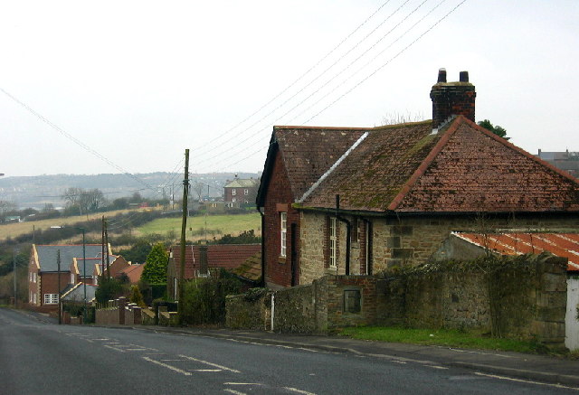
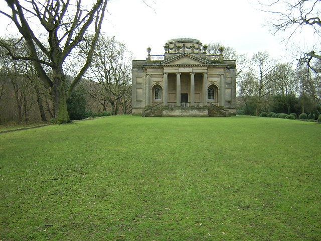
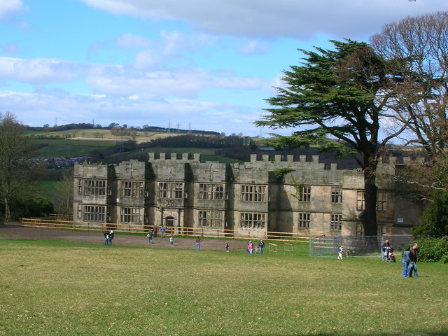
Bryan's Leap Images

Images are sourced within 2km of 54.907146/-1.7338661 or Grid Reference NZ1756. Thanks to Geograph Open Source API. All images are credited.

The ruined Gibside Hall
Old Lintz Green Station Bridge
Gibside Chapel Once owned by the Bowes-Lyon family, related to the late Queen Mother, complete with brass band
Gibside Chapel
Once owned by the Bowes-Lyon family, related to the late Queen Mother, complete with brass band
The Stable Block - Gibside In the process of renovation, soon to hear the clatter of horses hooves again.
The Stable Block - Gibside
In the process of renovation, soon to hear the clatter of horses hooves again.
The Orangery - Gibside In the process of renovation to its former glory
The Orangery - Gibside
In the process of renovation to its former glory
Banqueting House, Gibside In the grounds of Gibside Hall there is a small banqueting house, overlooking a lake. The house is reached by an uphill carriage ride.

Although part of the National Trust estate, the Banqueting House is managed by the Landmark Trust for holiday lets, they having been sold the freehold by the Strathmore Estate in 1981.
Banqueting House, Gibside
In the grounds of Gibside Hall there is a small banqueting house, overlooking a lake. The house is reached by an uphill carriage ride. Although part of the National Trust estate, the Banqueting House is managed by the Landmark Trust for holiday lets, they having been sold the freehold by the Strathmore Estate in 1981.
The Pack Horse, Crookgate Just outside Burnopfield, this pub was destroyed by fire in 2002 but reopened after six months
The Pack Horse, Crookgate
Just outside Burnopfield, this pub was destroyed by fire in 2002 but reopened after six months
Crookbank Farm
Crookbank Farm
Roadside Pant On the B6314 near the end of its climb into Burnopfield, this fountain (with electric light!) was erected in 1905 in memory of a respected local resident, known especially for his "kindness to dumb animals".
Roadside Pant
On the B6314 near the end of its climb into Burnopfield, this fountain (with electric light!) was erected in 1905 in memory of a respected local resident, known especially for his "kindness to dumb animals".
War Memorial, Burnopfield A simple monument in pristine condition; obviously well cared for.
War Memorial, Burnopfield
A simple monument in pristine condition; obviously well cared for.
The Travellers Rest, High Friarside
Toft Gate Farm, near Pickering Nook
Clough Dene, near Tantobie Housing old and new - I know which I prefer!
Clough Dene, near Tantobie
Housing old and new - I know which I prefer!
Gibside Chapel
Gibside Chapel
Gibside Hall
Gibside Hall
Sycamore Lined Walkway that leads you to St James Church Burnopfield
Sycamore Lined Walkway
that leads you to St James Church Burnopfield
Another Sycamore Lined Walkway Path through the churchyard for the Church of St James which is situated on both sides of the B6310.
Another Sycamore Lined Walkway
Path through the churchyard for the Church of St James which is situated on both sides of the B6310.
Hot air balloon by Gibside Hall near Rowlands Gill on a September evening
Hot air balloon by Gibside Hall
near Rowlands Gill on a September evening
Show me another place!

Bryan's Leap is located at Grid Ref: NZ1756 (Lat: 54.907146, Lng: -1.7338661)

Unitary Authority: County Durham

Police Authority: Durham

What 3 Words

///chills.eyeliner.edicts. Near Burnopfield, Co. Durham

Related Wikis

Burnopfield

Burnopfield is a village in County Durham, in England. It is situated north of Stanley and Annfield Plain, close to the River Derwent and is 564 feet above...

High Friarside

High Friarside is a village in County Durham, England. It is situated a short distance to the west of Burnopfield. == References ==

Pickering Nook

Pickering Nook is a small village in County Durham, in England. It is situated a few miles north of Annfield Plain and Stanley, on the A692 between Consett...

Hobson, County Durham

Hobson is a village in County Durham, in England. It is situated to the south of Burnopfield, north of Stanley and Annfield Plain. Hobson was a pit village...

Nearby Amenities

Located within 500m of 54.907146,-1.7338661
Burnopfield
Place: village
Source: NPE
Wikidata: Q5000037
Wikipedia: en:Burnopfield
Lat/Long: 54.9060459/-1.7288018
Bus Stop
Church
Bench: yes
Bin: yes
Bus: yes
Departures Board: timetable
Naptan AtcoCode: 13001533C
Naptan Bearing: E
Naptan CommonName: Church
Naptan Indicator: east bound
Naptan Landmark: Landmark not known
Naptan NaptanCode: duragdpj
Naptan Notes: opp 3- cedar crescent- b6310- burnopfield
Naptan Street: B6310
Naptan Verified: no
Public Transport: platform
Shelter: yes
Source: naptan_import
Lat/Long: 54.9065297/-1.7404439
Bus Stop
Church
Bench: yes
Bin: yes
Bus: yes
Departures Board: timetable
Naptan AtcoCode: 13001533G
Naptan Bearing: W
Naptan CommonName: Church
Naptan Indicator: west bound
Naptan Landmark: Landmark not known
Naptan NaptanCode: duragdpm
Naptan Notes: travellers rest ph- b6310- burnopfield
Naptan Street: B6310
Naptan Verified: no
Public Transport: platform
Shelter: yes
Source: naptan_import
Lat/Long: 54.9064568/-1.7399921
Bus Stop
Schools
Bench: no
Bin: no
Bus: yes
Departures Board: timetable
Naptan AtcoCode: 13001534C
Naptan Bearing: E
Naptan CommonName: Schools
Naptan Indicator: east bound
Naptan Landmark: Outside No 110 Bryans Leap
Naptan NaptanCode: duragdpt
Naptan Street: B6310
Naptan Verified: no
Public Transport: platform
Shelter: yes
Source: naptan_import
Wheelchair: yes
Lat/Long: 54.9070656/-1.7347788
Bus Stop
Schools
Bench: no
Bus: yes
Departures Board: timetable
Naptan AtcoCode: 13001534G
Naptan Bearing: W
Naptan CommonName: Schools
Naptan Indicator: west bound
Naptan Landmark: Outside County Infants School
Naptan NaptanCode: duragdpw
Naptan Street: B6310
Naptan Verified: no
Public Transport: platform
Shelter: yes
Source: naptan_import
Wheelchair: yes
Lat/Long: 54.9069281/-1.735113
Bus Stop
Sun Inn
Bus: yes
Naptan AtcoCode: 13001535C
Naptan Bearing: E
Naptan CommonName: Sun Inn
Naptan Indicator: east bound
Naptan Landmark: opposite No 10A
Naptan NaptanCode: duragdta
Naptan Street: Front Street
Naptan Verified: no
Public Transport: platform
Shelter: yes
Source: naptan_import
Lat/Long: 54.9072076/-1.7298961
Bus Stop
Sun Inn
Bin: yes
Bus: yes
Naptan AtcoCode: 13001535G
Naptan Bearing: W
Naptan CommonName: Sun Inn
Naptan Indicator: west bound
Naptan Landmark: Outside No 13
Naptan NaptanCode: duragdtd
Naptan Street: Front Street
Naptan Verified: no
Public Transport: platform
Shelter: yes
Source: naptan_import
Lat/Long: 54.9071726/-1.7303175
Bus Stop
Fountain
Naptan AtcoCode: 13001599D
Naptan Bearing: SE
Naptan CommonName: Fountain
Naptan Indicator: south east bound
Naptan Landmark: Landmark not known
Naptan NaptanCode: duragpja
Naptan Notes: new rd- fountain- burnopfield
Naptan Street: New Road
Naptan Verified: no
Source: naptan_import
Lat/Long: 54.9075977/-1.7274916
Bus Stop
Fountain
Naptan AtcoCode: 13001599H
Naptan Bearing: NW
Naptan CommonName: Fountain
Naptan Indicator: north west bound
Naptan Landmark: Landmark not known
Naptan NaptanCode: duragpjd
Naptan Notes: new rd- fountain- burnopfield
Naptan Street: New Road
Naptan Verified: no
Source: naptan_import
Lat/Long: 54.9075621/-1.7276634
Bus Stop
Busty Bank Foot
Naptan AtcoCode: 13001600H
Naptan Bearing: NW
Naptan CommonName: Busty Bank Foot
Naptan Indicator: north west bound
Naptan Landmark: Landmark not known
Naptan NaptanCode: duragpjm
Naptan Notes: new rd and busty bank- burnopfield
Naptan Street: B6314 - Busty Bank
Naptan Verified: no
Source: naptan_import
Lat/Long: 54.9110815/-1.7302134
Turning Circle
Source: Bing
Lat/Long: 54.9060354/-1.7322124
Noexit: yes
Lat/Long: 54.9077978/-1.7331224
Noexit: yes
Lat/Long: 54.9082635/-1.73157
Noexit: yes
Lat/Long: 54.9055687/-1.7271616
Noexit: yes
Lat/Long: 54.907289/-1.7409129
Noexit: yes
Lat/Long: 54.9075665/-1.7350891
Noexit: yes
Lat/Long: 54.9070792/-1.7311863
Noexit: yes
Lat/Long: 54.9061987/-1.7340885
Noexit: yes
Lat/Long: 54.9078656/-1.7388118
Noexit: yes
Lat/Long: 54.9057476/-1.7270114
Noexit: yes
Lat/Long: 54.9083992/-1.7308404
Noexit: yes
Lat/Long: 54.9079919/-1.7378356
Turning Circle
Lat/Long: 54.9040804/-1.7379131
Give Way
Direction: backward
Lat/Long: 54.9073953/-1.7309927
Beeches Hairdressing
Addr City: Burnopfield
Addr Street: Front Street
Phone: +44 1207 270 657
Shop: hairdresser
Lat/Long: 54.9074581/-1.7311868
Community Centre
Church Hall
Addr City: Newcastle Upon Tyne
Addr Postcode: NE16 6HR
Addr Street: The Leazes
Addr Village: Burnopfield
Fhrs Id: 708190
Source Addr: FHRS Open Data
Lat/Long: 54.9064791/-1.7388797
Atm
Lat/Long: 54.9064931/-1.7394143
Doctors
Cedars Medical Practice
Addr City: Burnopfield
Addr Postcode: NE16 6HU
Contact Facebook: cedarsmedicalgroup
Phone: +44 1207 272272
Website: https://www.cedarsmedicalgroup.nhs.uk/
Lat/Long: 54.9051093/-1.7397885
Pharmacy
Lat/Long: 54.9052264/-1.7397466
Noexit: yes
Lat/Long: 54.9050545/-1.7393323
Post Box
Brand: Royal Mail
Brand Wikidata: Q638098
Operator: Royal Mail
Operator Wikidata: Q638098
Post Box Type: wall
Ref: NE16 92
Lat/Long: 54.9071964/-1.7330766
Noexit: yes
Lat/Long: 54.9047159/-1.7300808
Leazes
Place: locality
Lat/Long: 54.9059061/-1.7401957
Noexit: yes
Lat/Long: 54.9075071/-1.7404195
Noexit: yes
Lat/Long: 54.9075335/-1.7398847
Noexit: yes
Lat/Long: 54.9074175/-1.7384779
Drinking Water
Historic: yes
Lat/Long: 54.9074126/-1.7275961
Give Way
Direction: forward
Lat/Long: 54.9074914/-1.7275879
Generator Method: photovoltaic
Generator Output Electricity: yes
Generator Source: solar
Generator Type: solar_photovoltaic_panel
Power: generator
Lat/Long: 54.9062079/-1.7322763
Generator Method: photovoltaic
Generator Output Electricity: yes
Generator Source: solar
Generator Type: solar_photovoltaic_panel
Power: generator
Lat/Long: 54.905146/-1.7350252
Generator Method: photovoltaic
Generator Output Electricity: yes
Generator Source: solar
Generator Type: solar_photovoltaic_panel
Power: generator
Lat/Long: 54.9051331/-1.7365891
Generator Method: photovoltaic
Generator Output Electricity: yes
Generator Source: solar
Generator Type: solar_photovoltaic_panel
Power: generator
Lat/Long: 54.9087252/-1.7312417
Generator Method: photovoltaic
Generator Output Electricity: yes
Generator Source: solar
Generator Type: solar_photovoltaic_panel
Power: generator
Lat/Long: 54.9081391/-1.7376438
Generator Method: photovoltaic
Generator Output Electricity: yes
Generator Source: solar
Generator Type: solar_photovoltaic_panel
Power: generator
Lat/Long: 54.9075308/-1.7406202
Generator Method: photovoltaic
Generator Output Electricity: yes
Generator Source: solar
Generator Type: solar_photovoltaic_panel
Power: generator
Lat/Long: 54.9074261/-1.7404882
Generator Method: photovoltaic
Generator Output Electricity: yes
Generator Source: solar
Generator Type: solar_photovoltaic_panel
Power: generator
Lat/Long: 54.9073604/-1.7403674
Generator Method: photovoltaic
Generator Output Electricity: yes
Generator Source: solar
Generator Type: solar_photovoltaic_panel
Power: generator
Lat/Long: 54.9071891/-1.7406959
Noexit: yes
Lat/Long: 54.9078244/-1.7333019
Noexit: yes
Lat/Long: 54.9072758/-1.7410924
Noexit: yes
Lat/Long: 54.9076906/-1.7391913
Noexit: yes
Lat/Long: 54.9076401/-1.7393924
Noexit: yes
Lat/Long: 54.9077506/-1.7372237
Noexit: yes
Lat/Long: 54.9078208/-1.7321306
The data included in this document is from www.openstreetmap.org. The data is made available under ODbL.

Have you been to Bryan's Leap?

Leave your review of Bryan's Leap below (or comments, questions and feedback).