Brunton
Settlement in Northumberland
England
Brunton
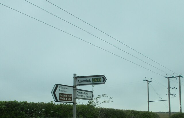
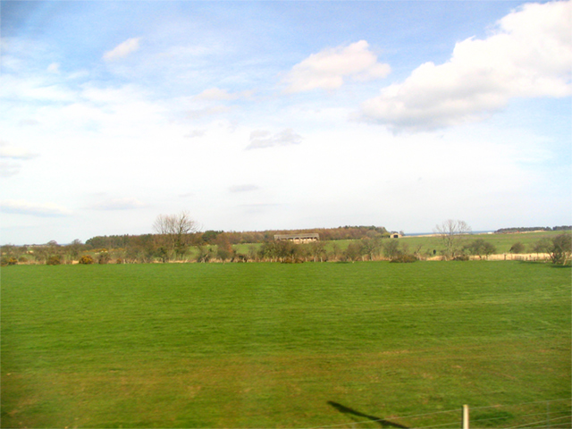
Brunton is a small village located in the county of Northumberland, in the northeast region of England. Situated approximately 10 miles north of the historic market town Alnwick, Brunton is nestled within the picturesque landscape of the Northumberland National Park.
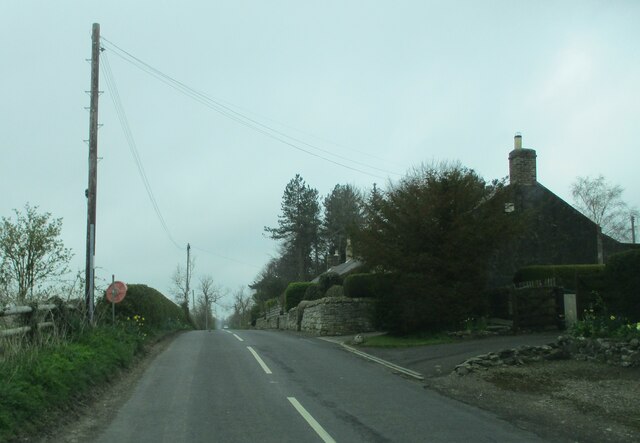
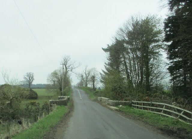
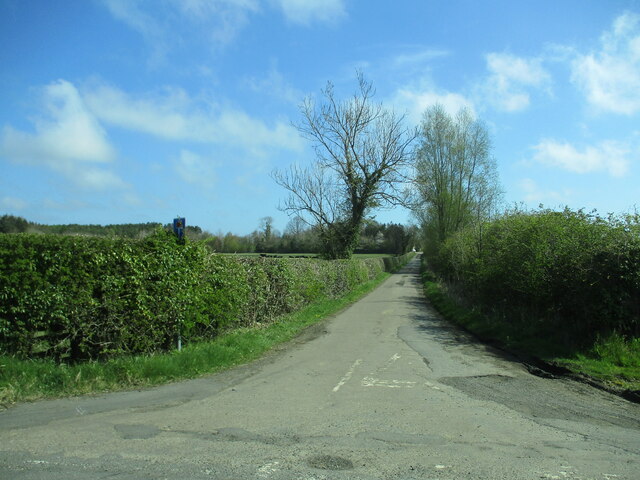
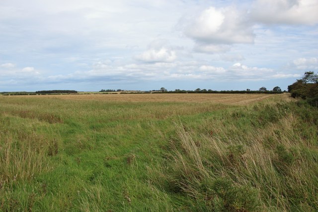
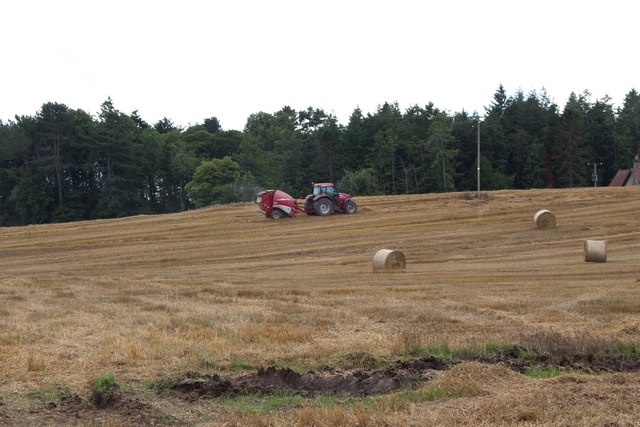
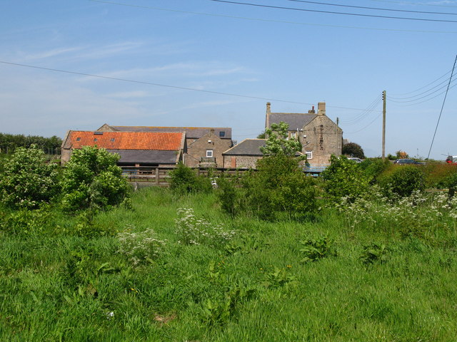
With a population of around 200 residents, Brunton boasts a charming and close-knit community. The village is characterized by its traditional stone-built houses, which add to its rustic and idyllic atmosphere. Surrounded by lush green farmland and rolling hills, Brunton offers breathtaking views of the surrounding countryside.
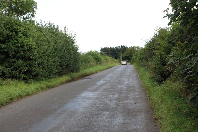
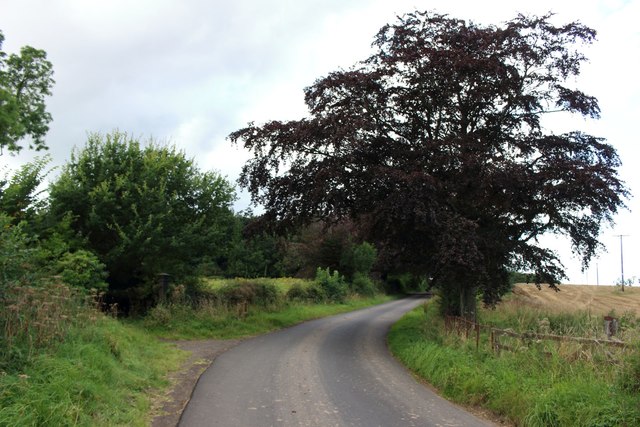
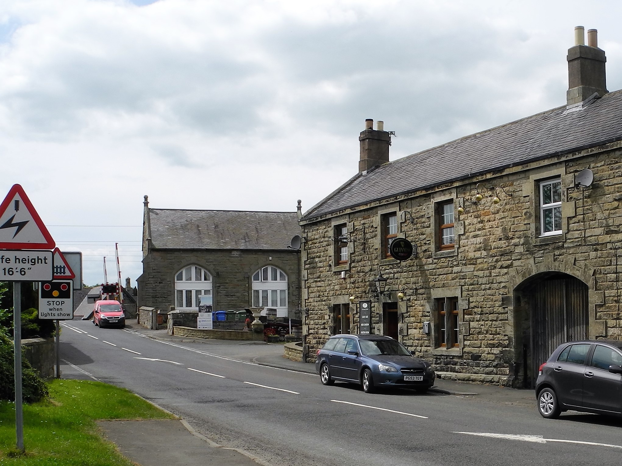
Although small in size, Brunton is well-connected to nearby towns and cities. The A1 road runs to the west of the village, providing easy access to Newcastle upon Tyne, which is approximately 30 miles away. The village is also served by a regular bus service, ensuring convenient transportation options for residents and visitors alike.
In terms of amenities, Brunton has a community hall that hosts various events and gatherings throughout the year, fostering a sense of community spirit. Outdoor enthusiasts will find plenty of opportunities to explore the natural beauty of the area, with numerous walking and cycling trails nearby. The nearby Northumberland National Park offers a range of outdoor activities, including hiking, birdwatching, and wildlife spotting.
Overall, Brunton is a tranquil and scenic village that offers a peaceful retreat from the bustling cities and a chance to immerse oneself in the stunning natural landscapes of Northumberland.
If you have any feedback on the listing, please let us know in the comments section below.
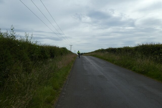
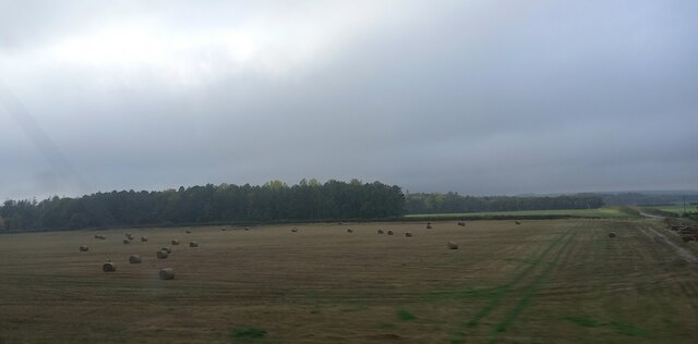
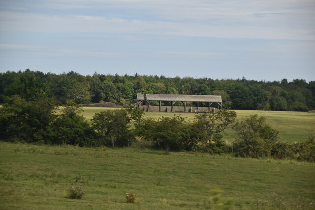
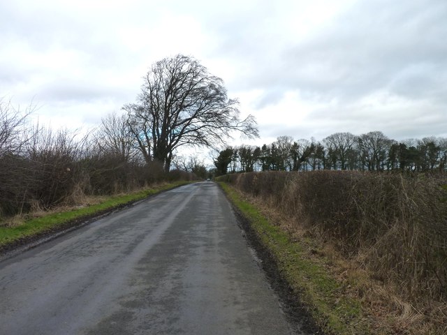
Brunton Images
Images are sourced within 2km of 55.515949/-1.6711518 or Grid Reference NU2024. Thanks to Geograph Open Source API. All images are credited.
Brunton is located at Grid Ref: NU2024 (Lat: 55.515949, Lng: -1.6711518)
Unitary Authority: Northumberland
Police Authority: Northumbria
What 3 Words
///infants.outboard.shams. Near Embleton, Northumberland
Nearby Locations
Related Wikis

Brunton, Northumberland
Brunton is a village and former civil parish, now in the parish of Newton-by-the-Sea, in the county of Northumberland, England. It is about 7 miles (11...

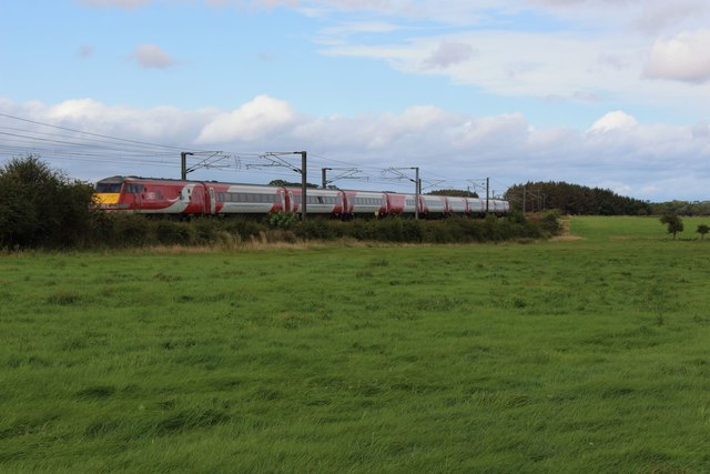
Fallodon railway station
Fallodon railway station was a private railway station built for Sir George Grey at Fallodon Hall, Northumberland, England from 1847 to 1934 on the East...
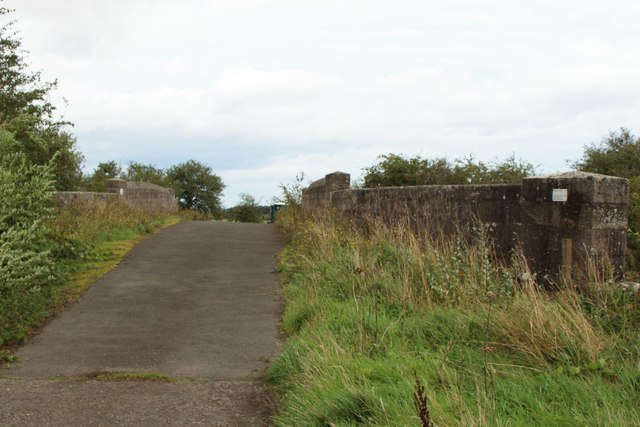
RAF Brunton
Royal Air Force Brunton or more simply RAF Brunton is a former Royal Air Force satellite airfield located in Northumberland, England. The following units...
Fallodon
Fallodon is a hamlet and former civil parish, now in the parish of Newton-by-the-Sea, in the county of Northumberland, England. It is the territorial designation...

Christon Bank railway station
Christon Bank railway station served the village of Christon Bank, Northumberland, England from 1847 to 1965 on the East Coast Main Line. == History... ==
Christon Bank
Christon Bank is a small village in Northumberland, England, 9 miles north of the town of Alnwick. Prior to 1847 it was a small farming hamlet, which was...

Preston Tower, Northumberland
Preston Tower is a fourteenth-century pele tower in Preston, Northumberland, England built in 1392. The tower is now a private museum. == References... ==

Newton-by-the-Sea
Newton-by-the-Sea is a civil parish in the county of Northumberland in Northern England. The parish is about 8 miles northwest of Alnwick, and lies on...
Nearby Amenities
Located within 500m of 55.515949,-1.6711518Have you been to Brunton?
Leave your review of Brunton below (or comments, questions and feedback).