The Range
Wood, Forest in Yorkshire
England
The Range
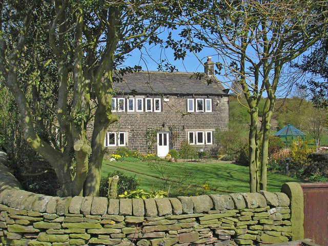
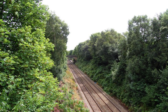
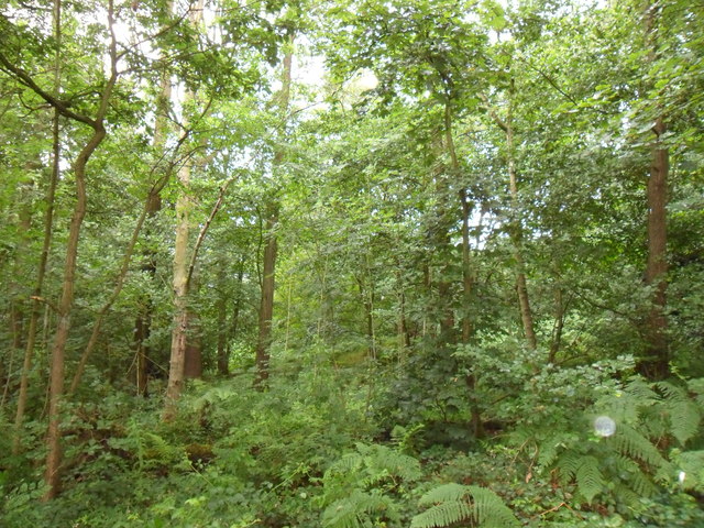
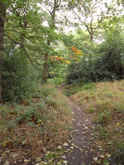
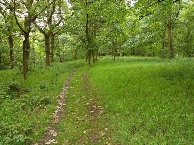
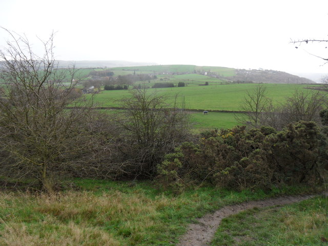
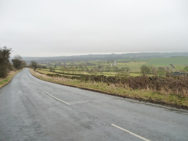
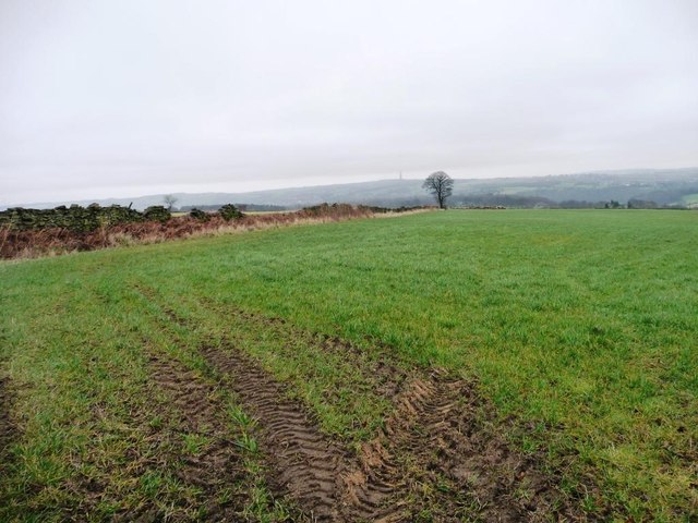
The Range, Yorkshire (Wood, Forest) is a vast and scenic woodland located in the county of Yorkshire, England. Covering an expansive area, this forest boasts an array of natural beauty, making it a popular destination for nature enthusiasts and outdoor adventurers.
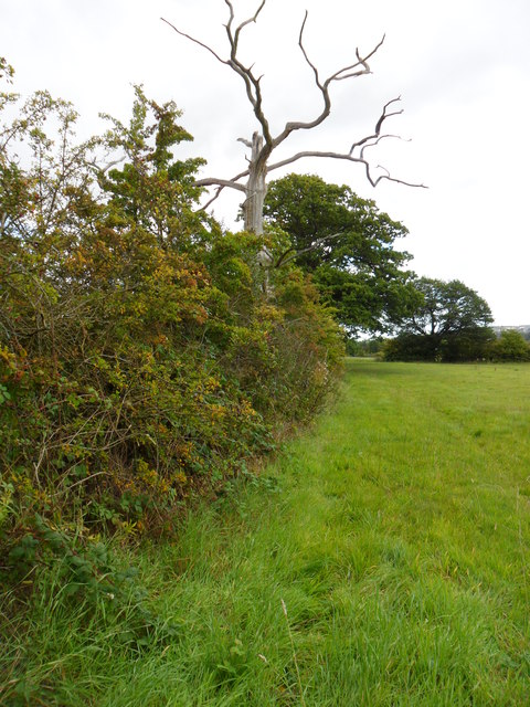
The Range is characterized by its diverse range of flora and fauna, offering a splendid display of colors throughout the year. Ancient oak trees dominate the landscape, their majestic branches stretching towards the sky. Beneath the towering trees, a variety of wildflowers, ferns, and mosses carpet the forest floor, creating a lush and enchanting atmosphere.
The forest is teeming with wildlife, providing a haven for numerous species. Birdwatchers can spot a plethora of avian species, including woodpeckers, owls, and various songbirds, while lucky visitors may even catch a glimpse of elusive creatures such as deer, foxes, and rabbits.
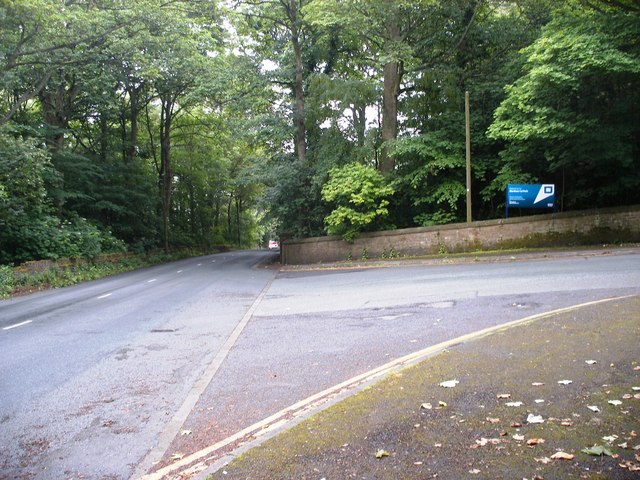
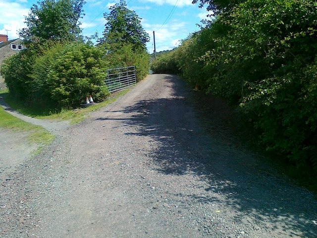
Trails wind their way through the woodland, offering visitors the opportunity to explore the forest's hidden corners and discover its hidden treasures. Hikers and joggers can enjoy the peacefulness of the forest, while families can partake in picnics and leisurely walks.
The Range, Yorkshire (Wood, Forest) is not only a place of natural wonder, but also a vital habitat for many species. Conservation efforts are in place to protect and preserve the forest, ensuring its beauty can be enjoyed for generations to come. Whether seeking solace in nature or embarking on an adventure, The Range promises a truly memorable experience for all who venture within its borders.
If you have any feedback on the listing, please let us know in the comments section below.
The Range Images
Images are sourced within 2km of 53.610036/-1.7377592 or Grid Reference SE1712. Thanks to Geograph Open Source API. All images are credited.


The Range is located at Grid Ref: SE1712 (Lat: 53.610036, Lng: -1.7377592)
Division: West Riding
Unitary Authority: Kirklees
Police Authority: West Yorkshire
What 3 Words
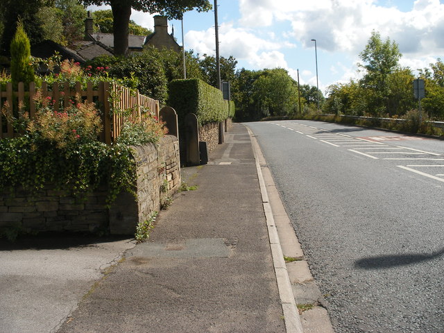
///tummy.vessel.galaxies. Near Kirkburton, West Yorkshire
Related Wikis

Storthes Hall
Storthes Hall is part of the civil parish of Kirkburton in West Yorkshire, England. A heavily wooded area, it comprises a single road, Storthes Hall Lane...
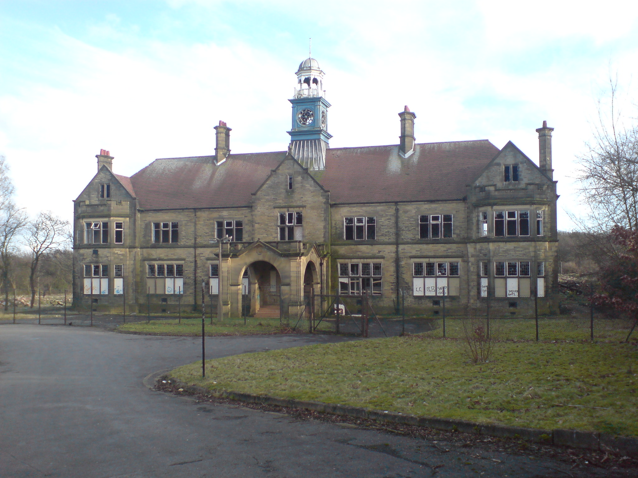
Storthes Hall Hospital
Storthes Hall Hospital was a mental health facility at Storthes Hall, Huddersfield, West Yorkshire, England. Founded in 1904, it expanded to over 3,000...

Farnley Tyas
Farnley Tyas is a village in the parish of Kirkburton, in the Kirklees district, in the county of West Yorkshire, England 3 miles (4.8 km) south east of...

Huddersfield Town F.C. Women
Huddersfield Town Women Football Club is an English women's football club based in Huddersfield, West Yorkshire. The team play their homes matches at the...
Nearby Amenities
Located within 500m of 53.610036,-1.7377592Have you been to The Range?
Leave your review of The Range below (or comments, questions and feedback).