Top Plantation
Wood, Forest in Staffordshire East Staffordshire
England
Top Plantation

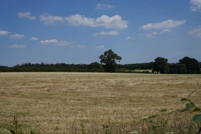
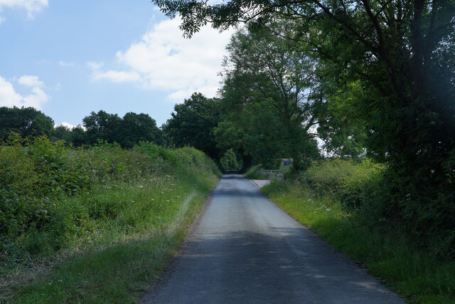
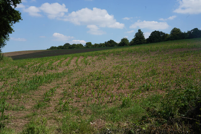
Top Plantation is a woodland area located in Staffordshire, England. It is situated in the heart of the county, near the town of Wood, and covers a vast area of lush greenery, making it a popular destination for nature enthusiasts and hikers.
The plantation is primarily composed of an assortment of trees, including oak, beech, and birch, which create a diverse and picturesque landscape. The dense forestation provides a haven for various wildlife, such as deer, foxes, and a wide array of bird species, making it an ideal spot for birdwatching and wildlife observation.
The woodland is crisscrossed with numerous walking trails, allowing visitors to explore the area at their own pace. These trails range in difficulty, catering to both casual strollers and more experienced hikers. Along the paths, visitors can discover hidden streams, small waterfalls, and picturesque viewpoints that offer breathtaking panoramic views of the surrounding countryside.
For those seeking a more adventurous experience, Top Plantation also offers opportunities for mountain biking and horseback riding. The well-maintained tracks and bridleways provide an exhilarating experience for outdoor enthusiasts.
The plantation is a designated Site of Special Scientific Interest (SSSI), recognizing its ecological importance and unique biodiversity. It is managed by the local authorities, who work tirelessly to preserve the natural habitat and promote conservation efforts.
Top Plantation is a tranquil and serene escape from the hustle and bustle of city life, offering visitors the chance to immerse themselves in the beauty of nature. Whether one seeks a peaceful stroll, an adrenaline-fueled adventure, or a chance to observe wildlife in their natural habitat, Top Plantation has something to offer for everyone.
If you have any feedback on the listing, please let us know in the comments section below.
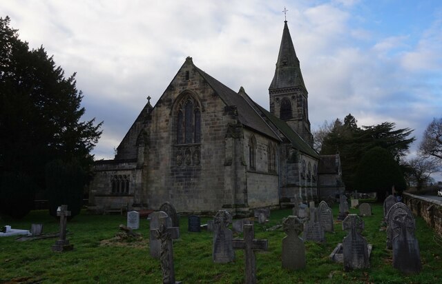
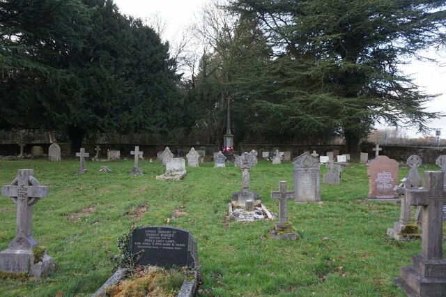
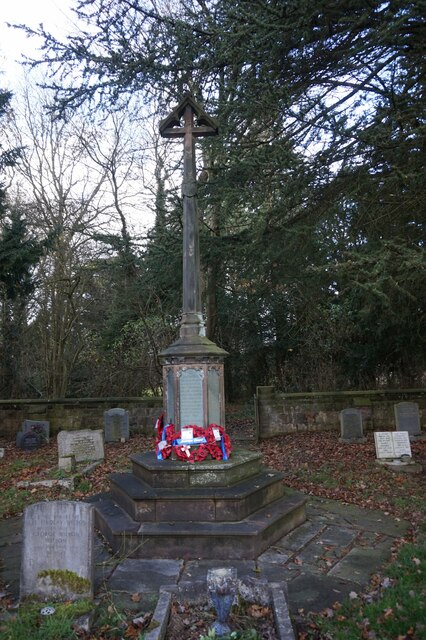
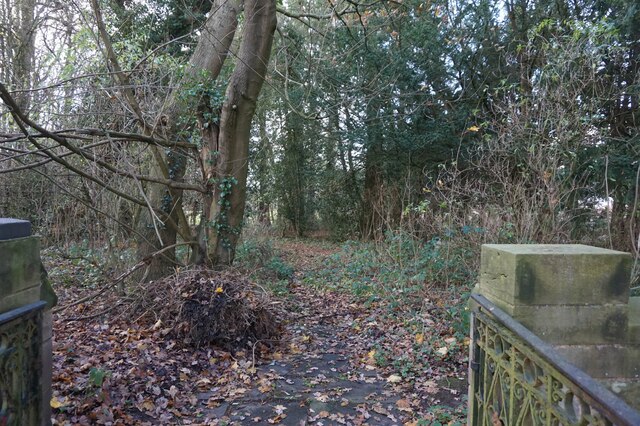
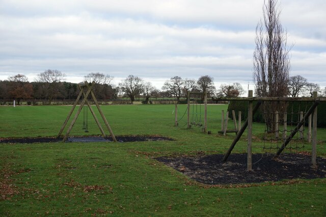
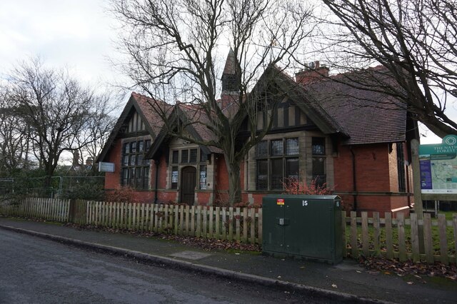
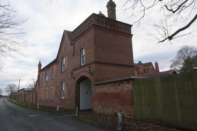
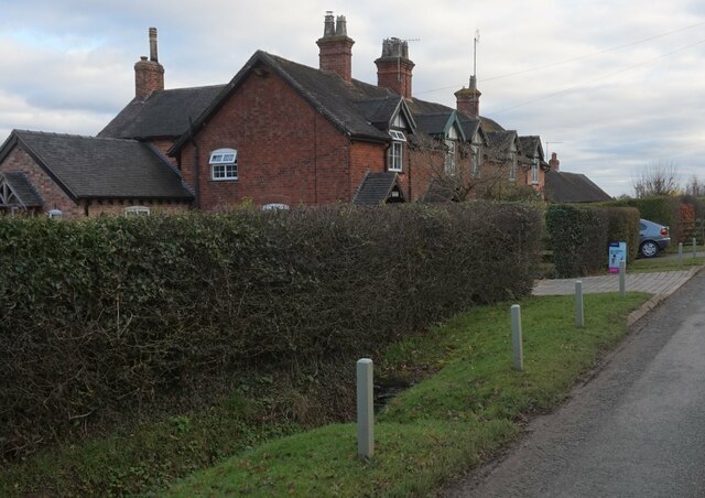
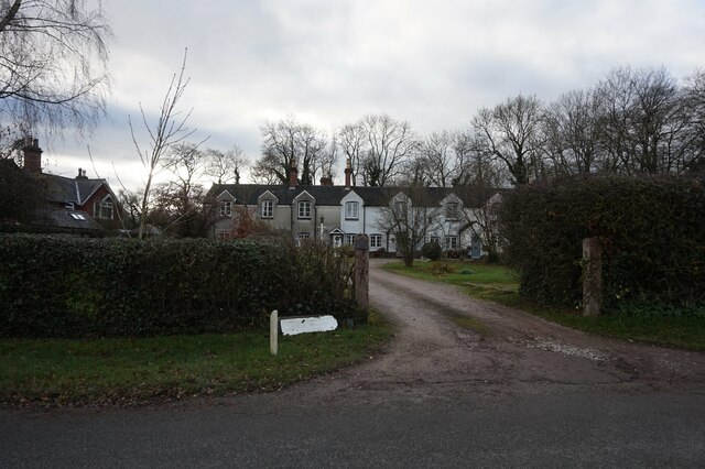
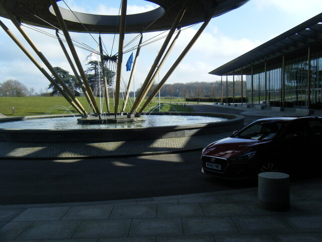
Top Plantation Images
Images are sourced within 2km of 52.803763/-1.7426012 or Grid Reference SK1722. Thanks to Geograph Open Source API. All images are credited.


Top Plantation is located at Grid Ref: SK1722 (Lat: 52.803763, Lng: -1.7426012)
Administrative County: Staffordshire
District: East Staffordshire
Police Authority: Staffordshire
What 3 Words
///shelter.bends.workshop. Near Barton under Needwood, Staffordshire
Nearby Locations
Related Wikis
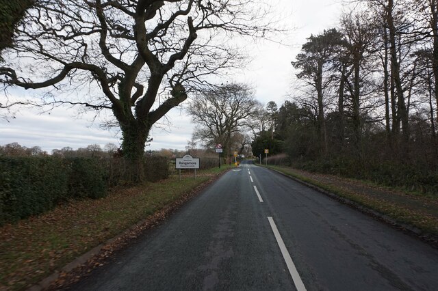
Rangemore
Rangemore is a village in the borough of East Staffordshire, situated approximately 4 miles (6 km) west of the town of Burton upon Trent, on a ridge of...

Byrkley Lodge
Byrkley Lodge was a country house and later racing horse stud farm, located close to Burton on Trent, Staffordshire. Demolished in 1953, its former grounds...
St George's Park National Football Centre
St George's Park (SGP) is the English Football Association's national football centre (NFC) built on a 330-acre (130 ha) site at Burton upon Trent, Staffordshire...

RAF Tatenhill
RAF Tatenhill is a former Royal Air Force satellite airfield in Tatenhill, Staffordshire, England, 4 NM (7.4 km; 4.6 mi) west of Burton on Trent. It was...
Tatenhill Airfield
Tatenhill Airfield (ICAO: EGBM) is a licensed airfield operated by Tatenhill Aviation Ltd. Its CAA Ordinary Licence (Number P813) allows flights for the...
Brankley Pastures
Brankley Pastures is a nature reserve of the Staffordshire Wildlife Trust. It is about 2.5 miles (4.0 km) miles north-west of Barton-under-Needwood, in...
Dunstall
Dunstall is a small village and civil parish in the borough of East Staffordshire, Staffordshire, England. It lies between Burton upon Trent and Barton...
Dunstall Hall
Dunstall Hall is a privately owned 18th century mansion house near Tatenhill, Burton upon Trent, Staffordshire. It is a Grade II* listed building. �...
Nearby Amenities
Located within 500m of 52.803763,-1.7426012Have you been to Top Plantation?
Leave your review of Top Plantation below (or comments, questions and feedback).