The Lawn
Downs, Moorland in Staffordshire East Staffordshire
England
The Lawn

The Lawn in Staffordshire is a picturesque area characterized by its stunning downs and moorland landscapes. Located in the heart of the county, this region offers a diverse range of natural beauty and outdoor activities for visitors to enjoy.
The downs of The Lawn are vast expanses of rolling hills covered in lush green grass. These open spaces provide a tranquil setting for leisurely walks and picnics, offering breathtaking views of the surrounding countryside. The area is home to a variety of wildlife, making it a popular destination for nature enthusiasts and birdwatchers.
In contrast, the moorland of The Lawn features a rugged and wild terrain, characterized by its rocky outcrops and heather-covered hills. This unique landscape provides a habitat for a range of rare plant species and is a haven for mountain bikers and hikers seeking an adrenaline-fueled adventure.
The Lawn also boasts a network of well-maintained footpaths and trails, allowing visitors to explore the area at their own pace. These pathways lead to hidden gems such as ancient stone circles and historic landmarks, providing a glimpse into the rich history of the region.
Furthermore, The Lawn offers a range of amenities for visitors, including cozy cafes and quaint country pubs where one can relax and indulge in traditional English cuisine. The area is also known for its charming villages, each with its own unique character and charm.
Whether you are seeking a peaceful retreat amidst nature or an exciting outdoor adventure, The Lawn in Staffordshire has something to offer for everyone. Its downs and moorland landscapes, combined with its rich history and amenities, make it a must-visit destination in the heart of England.
If you have any feedback on the listing, please let us know in the comments section below.
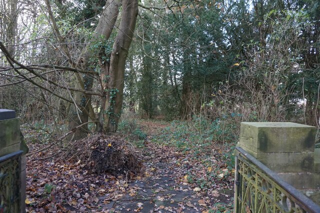
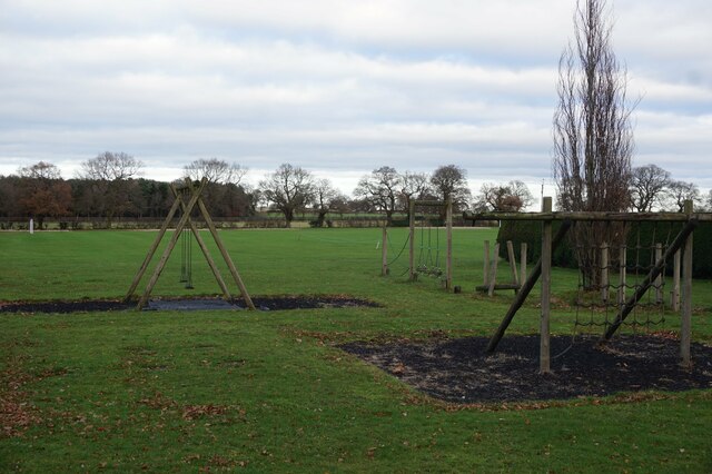
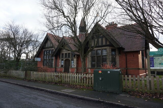
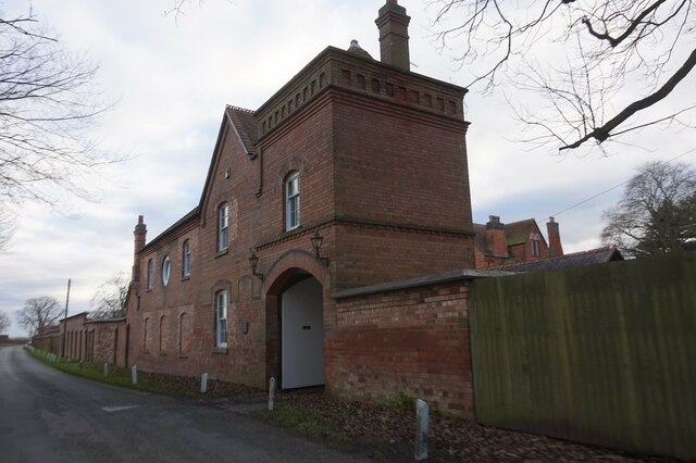
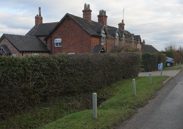
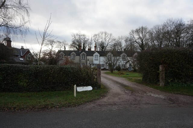
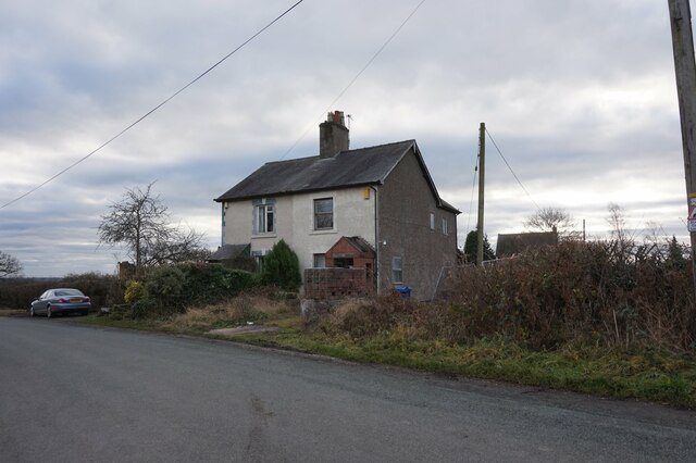
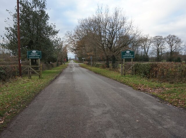
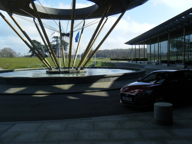
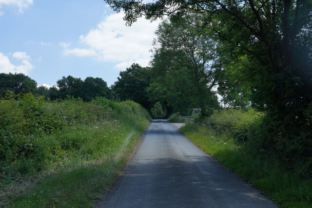
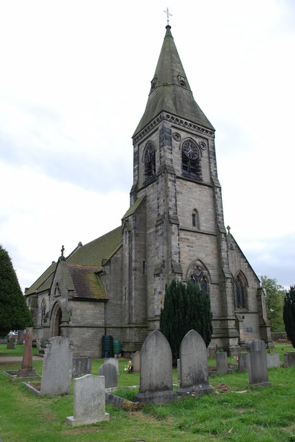
The Lawn Images
Images are sourced within 2km of 52.799173/-1.7360727 or Grid Reference SK1722. Thanks to Geograph Open Source API. All images are credited.


The Lawn is located at Grid Ref: SK1722 (Lat: 52.799173, Lng: -1.7360727)
Administrative County: Staffordshire
District: East Staffordshire
Police Authority: Staffordshire
What 3 Words
///craft.twinkled.plants. Near Barton under Needwood, Staffordshire
Nearby Locations
Related Wikis
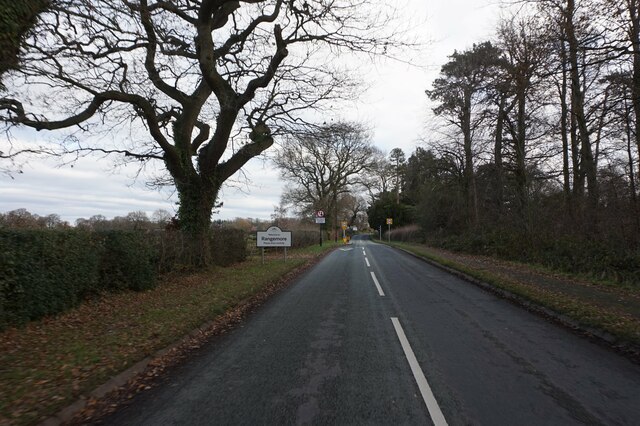
Rangemore
Rangemore is a village in the borough of East Staffordshire, situated approximately 4 miles (6 km) west of the town of Burton upon Trent, on a ridge of...

Byrkley Lodge
Byrkley Lodge was a country house and later racing horse stud farm, located close to Burton on Trent, Staffordshire. Demolished in 1953, its former grounds...
St George's Park National Football Centre
St George's Park (SGP) is the English Football Association's national football centre (NFC) built on a 330-acre (130 ha) site at Burton upon Trent, Staffordshire...

Brankley Pastures
Brankley Pastures is a nature reserve of the Staffordshire Wildlife Trust. It is about 2.5 miles (4.0 km) miles north-west of Barton-under-Needwood, in...
Related Videos

Walking Football - World Nations Cup 2023
Singapore Vs Basque Ctry 2nd Half.

I thought it was a BLAG! 😂
I thought it was a BLAG!

San Diego Soccer Women at the August 2023 UK Walking Football Association Nations Cup
Brandi Mitchell of San Diego Soccer Women interviewed by Mr. Podcast of Walking-Football.com about walking soccer ...

Nearby Amenities
Located within 500m of 52.799173,-1.7360727Have you been to The Lawn?
Leave your review of The Lawn below (or comments, questions and feedback).