Hunton Moor
Downs, Moorland in Yorkshire Richmondshire
England
Hunton Moor
![Catterick Garrison, Vimy Barracks Un-named street [as far as I could see] leading to Queens Avenue.](https://s1.geograph.org.uk/geophotos/02/58/74/2587409_d2c13e24.jpg)
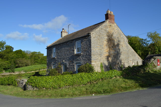
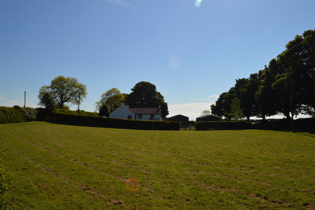
Hunton Moor is a picturesque area located in the county of Yorkshire, England. Situated amidst the rolling hills and vast moorland, it offers visitors a stunning natural landscape that is both serene and captivating.
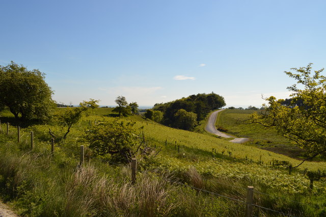
Covering an extensive area, Hunton Moor is renowned for its diverse topography. The undulating Downs present a beautiful contrast to the rugged moorland, creating a unique blend of scenery that appeals to nature enthusiasts and photographers alike. The terrain is characterized by heather-covered slopes, scattered with rocky outcrops and interspersed with patches of lush greenery.
The moorland of Hunton Moor is rich in biodiversity, featuring a variety of plant and animal species. The heather provides a vibrant purple hue during the blooming season, while the meandering streams and small ponds attract a plethora of water-loving creatures. Birdwatchers will find themselves delighted by the presence of rare species such as lapwings and curlews, which nest in the moorland during the summer months.
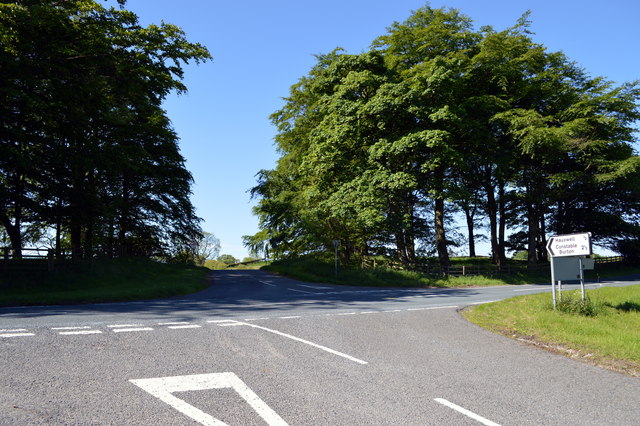
For outdoor enthusiasts, Hunton Moor offers numerous walking trails and paths, allowing visitors to explore the area at their own pace. The vistas from the top of the Downs are breathtaking, providing panoramic views of the surrounding countryside.
Hunton Moor also holds historical significance, with remnants of ancient settlements and burial mounds scattered throughout the area. These archaeological sites provide a glimpse into the lives of past inhabitants and add an extra layer of intrigue to the landscape.
Overall, Hunton Moor is a captivating destination that offers visitors the chance to immerse themselves in the natural beauty of Yorkshire's Downs and moorland. Whether it's a leisurely walk, birdwatching, or simply enjoying the tranquility of the surroundings, Hunton Moor is a place of natural wonder that is not to be missed.
If you have any feedback on the listing, please let us know in the comments section below.
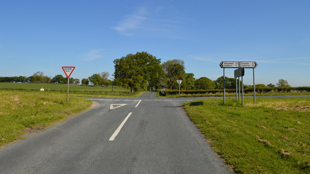
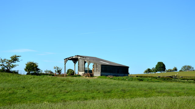
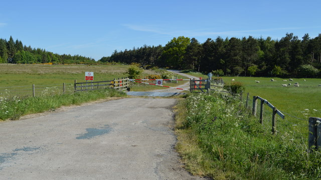
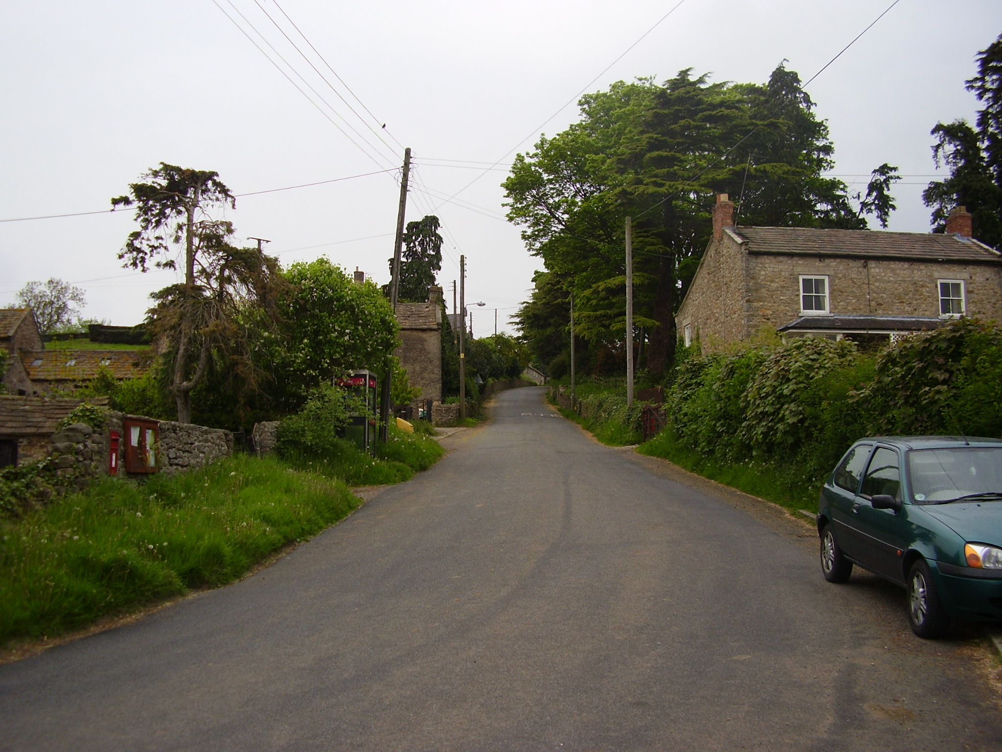
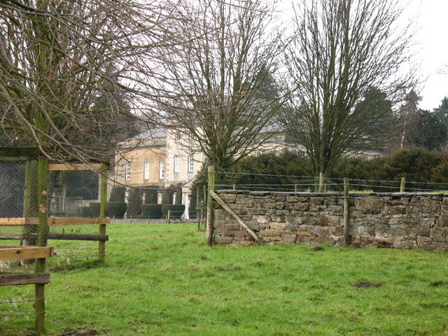
Hunton Moor Images
Images are sourced within 2km of 54.351838/-1.7262475 or Grid Reference SE1795. Thanks to Geograph Open Source API. All images are credited.
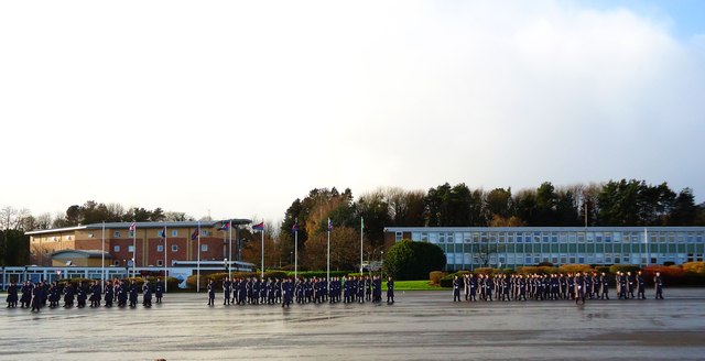
![Catterick Garrison, Vimy Barracks [2] One of the barracks on this very large camp which is part of the Infantry Training Centre. See <span class="nowrap"><a title="http://www.army.mod.uk/training_education/training/18145.aspx" rel="nofollow ugc noopener" href="http://www.army.mod.uk/training_education/training/18145.aspx">Link</a><img style="margin-left:2px;" alt="External link" title="External link - shift click to open in new window" src="https://s1.geograph.org.uk/img/external.png" width="10" height="10"/></span>](https://s2.geograph.org.uk/geophotos/02/58/74/2587418_b65843d3.jpg)
![Catterick Garrison, Vimy Barracks [3] View along Queens Avenue.](https://s3.geograph.org.uk/geophotos/02/58/74/2587423_09ba10bd.jpg)
Hunton Moor is located at Grid Ref: SE1795 (Lat: 54.351838, Lng: -1.7262475)
Division: North Riding
Administrative County: North Yorkshire
District: Richmondshire
Police Authority: North Yorkshire
What 3 Words
///rocket.lads.rural. Near Catterick Garrison, North Yorkshire
Nearby Locations
Related Wikis
Scotton, Richmondshire
Scotton is a village, civil parish and electoral ward in the Richmondshire district of North Yorkshire, England. The civil parish includes the centre and...
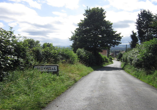
East Hauxwell
East Hauxwell or Hauxwell is a village and civil parish in North Yorkshire, England. It is located south of Catterick Garrison.To the west of the village...

Catterick Camp railway station
Catterick Camp railway station was a railway station in what is now the Richmondshire district of North Yorkshire, England. It was built as the terminus...
Hauxwell Hall
Hauxwell Hall or Hawkswell Hall is a grade II* listed 17th-century country house in West Hauxwell, North Yorkshire, England, some 5 miles (8 km) south...

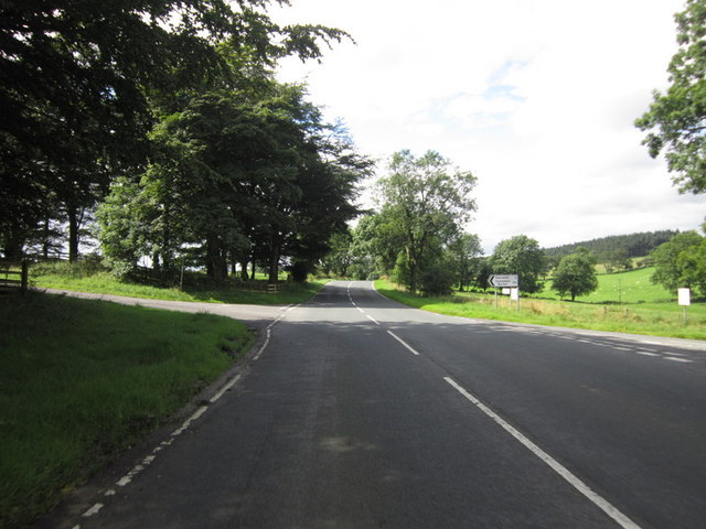
A6136 road
The A6136 is a 4 digit A road in North Yorkshire, England. It runs between the A6108 Queen's Road, in the market town of Richmond, before terminating on...
Duchess of Kent Military Hospital
The Duchess of Kent Military Hospital was an army hospital and nurse training facility in Catterick Garrison, North Yorkshire, England. == History... ==
Army Ground, Catterick
The Army Ground was a cricket ground in Catterick Garrison, North Yorkshire. The Garrison was established in 1914 and construction of a cricket ground...
Garrison FM
Garrison FM was a network of radio stations in the United Kingdom serving British Army bases around the country between 2001 and 2013. The stations broadcast...
Nearby Amenities
Located within 500m of 54.351838,-1.7262475Have you been to Hunton Moor?
Leave your review of Hunton Moor below (or comments, questions and feedback).