Boscombe Down

Downs, Moorland in Wiltshire

England

Boscombe Down

New housing and apartments in Pritchard Way
New housing and apartments in Pritchard Way Credit: David Martin

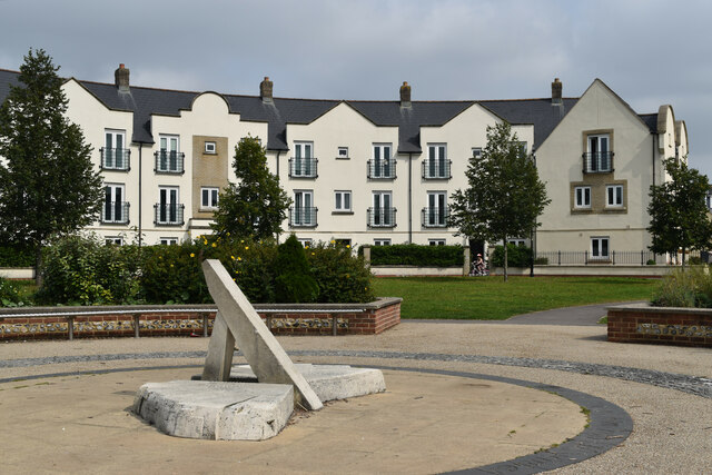
Boscombe Down is a small village located in Wiltshire, England. Situated on the southern edge of Salisbury Plain, it is known for its beautiful downs and moorland landscapes. The village is located about 10 miles northeast of Salisbury and has a population of around 2,000 residents.

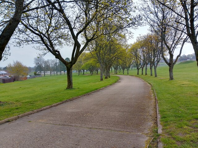
The area surrounding Boscombe Down is characterized by rolling hills, open fields, and expansive grasslands. It offers stunning views of the countryside and is a popular destination for nature lovers and hikers. The downs, with their chalky soil, are home to a diverse range of flora and fauna, including rare species of orchids and butterflies.

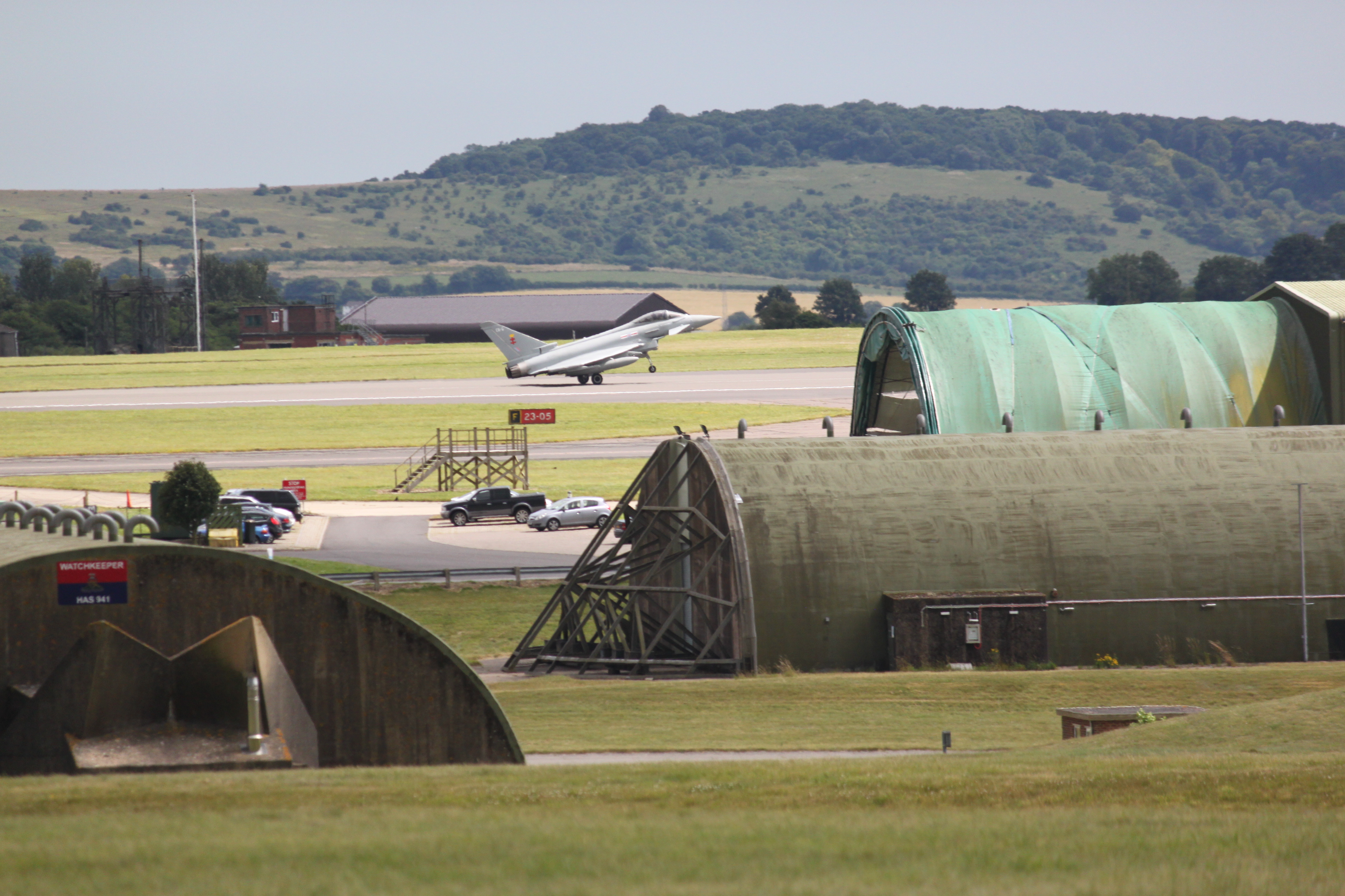
Boscombe Down is also known for its aviation history. The Royal Air Force (RAF) established an airfield in the village during World War I, which has since become a major center for aircraft testing and evaluation. Today, it is home to the Defense Equipment and Support (DE&S) organization, which conducts research, development, and testing of military aircraft and weapons systems.

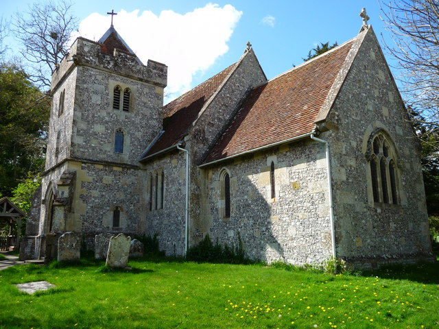
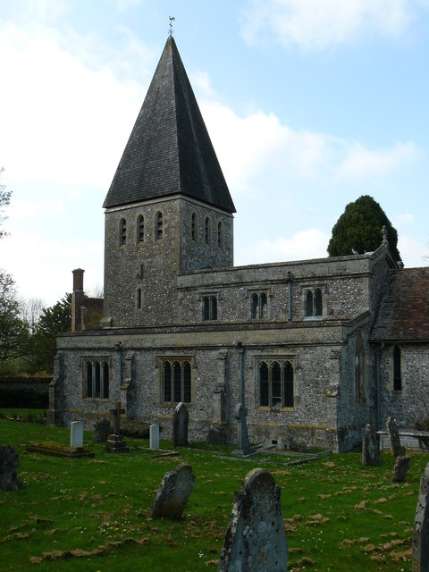
The village itself is relatively small, with a mix of residential and commercial properties. It has a primary school, a church, a pub, and a few shops and services to cater to the local community. Despite its rural location, Boscombe Down benefits from good transport links, with nearby access to major roads and rail connections.

In conclusion, Boscombe Down is a picturesque village nestled in the Wiltshire countryside, offering stunning natural landscapes and a rich aviation heritage. It provides a peaceful and scenic setting for residents and visitors alike.

If you have any feedback on the listing, please let us know in the comments section below.

Boscombe Down Images

Images are sourced within 2km of 51.152655/-1.7459075 or Grid Reference SU1739. Thanks to Geograph Open Source API. All images are credited.

New housing and apartments in Pritchard Way
Modern housing at Amesbury
Earls Close, Amesbury A rather redundant little cul-de-sac with a roundabout at the end near to Boscombe Down in Amesbury, lined with trees on both sides. I'm sure it had a purpose at some point.
Earls Close, Amesbury
A rather redundant little cul-de-sac with a roundabout at the end near to Boscombe Down in Amesbury, lined with trees on both sides. I'm sure it had a purpose at some point.
Earls Close junction to Main Road, Amesbury The junction of Earls Close to Main Road in Amesbury, near Boscombe Down.
Earls Close junction to Main Road, Amesbury
The junction of Earls Close to Main Road in Amesbury, near Boscombe Down.
Amesbury Road byway The byway beside Boscombe Down in Amesbury, known as Amesbury Road.
Amesbury Road byway
The byway beside Boscombe Down in Amesbury, known as Amesbury Road.
Amesbury Road byway The byway beside Boscombe Down in Amesbury, known as Amesbury Road.
Amesbury Road byway
The byway beside Boscombe Down in Amesbury, known as Amesbury Road.
Amesbury Road byway The byway beside Boscombe Down in Amesbury, known as Amesbury Road. Ahead the byway takes a bridge with a 7.5 ton weight limit.
Amesbury Road byway
The byway beside Boscombe Down in Amesbury, known as Amesbury Road. Ahead the byway takes a bridge with a 7.5 ton weight limit.
Boscombe Down footpath A footpath to the north of Boscombe Down, between the byway known as Amesbury Road and Allington Track.
Boscombe Down footpath
A footpath to the north of Boscombe Down, between the byway known as Amesbury Road and Allington Track.
Bricked up archway at Boscombe Down A bricked up archway to the north of Boscombe Down, viewed from the public footpath.
Bricked up archway at Boscombe Down
A bricked up archway to the north of Boscombe Down, viewed from the public footpath.
Boscombe Down footpath A footpath to the north of Boscombe Down, between the byway known as Amesbury Road and Allington Track.
Boscombe Down footpath
A footpath to the north of Boscombe Down, between the byway known as Amesbury Road and Allington Track.
Footpath sign north of Boscombe Down A sign showing the route of the footpath to the north of Boscombe Down.
Footpath sign north of Boscombe Down
A sign showing the route of the footpath to the north of Boscombe Down.
Cadnam Crescent over Milton Road, Amesbury Looking from the byway known as Amesbury Road at Cadnam Crescent, over Milton Road. To the left (off camera) is Boscombe Down.
Cadnam Crescent over Milton Road, Amesbury
Looking from the byway known as Amesbury Road at Cadnam Crescent, over Milton Road. To the left (off camera) is Boscombe Down.
Runway approach lights for Boscombe Airfield Runway approach lights across a byway and Allington Track for aircraft landing at Boscombe Airfield.
Runway approach lights for Boscombe Airfield
Runway approach lights across a byway and Allington Track for aircraft landing at Boscombe Airfield.
Boscombe Down bridleway A bridleway to the north of Boscombe Down. It runs through an area designated as a nature reserve.
Boscombe Down bridleway
A bridleway to the north of Boscombe Down. It runs through an area designated as a nature reserve.
Signs on bridleway Signs beside a bridleway to the north of Boscombe Down. The top sign reads "PLEASE KEEP DOGS ON LEADS TO PROTECT GROUND NESTING BIRDS R.S.P.B." The bottom sign reads "NO UNAUTHORISED VEHICLES BEYOND THIS POINT BRIDLEWAY ONLY".
Signs on bridleway
Signs beside a bridleway to the north of Boscombe Down. The top sign reads "PLEASE KEEP DOGS ON LEADS TO PROTECT GROUND NESTING BIRDS R.S.P.B." The bottom sign reads "NO UNAUTHORISED VEHICLES BEYOND THIS POINT BRIDLEWAY ONLY".
Boscombe Down bridleway A bridleway to the north of Boscombe Down. It runs through an area designated as a nature reserve. The pillbox isn't listed.
Boscombe Down bridleway
A bridleway to the north of Boscombe Down. It runs through an area designated as a nature reserve. The pillbox isn't listed.
Boscombe Down bridleway A bridleway to the north of Boscombe Down. It runs through an area designated as a nature reserve.
Boscombe Down bridleway
A bridleway to the north of Boscombe Down. It runs through an area designated as a nature reserve.
Boscombe Down pillbox A pillbox at the north of Boscombe Down. It isn't listed.
Boscombe Down pillbox
A pillbox at the north of Boscombe Down. It isn't listed.
Show me another place!

Boscombe Down is located at Grid Ref: SU1739 (Lat: 51.152655, Lng: -1.7459075)

Unitary Authority: Wiltshire

Police Authority: Wiltshire

What 3 Words

///tuned.lifestyle.coasted. Near Allington, Wiltshire

Nearby Locations

Boscombe Down

Related Wikis

Have you been to Boscombe Down?

Leave your review of Boscombe Down below (or comments, questions and feedback).