Scotton Moor
Downs, Moorland in Yorkshire Richmondshire
England
Scotton Moor
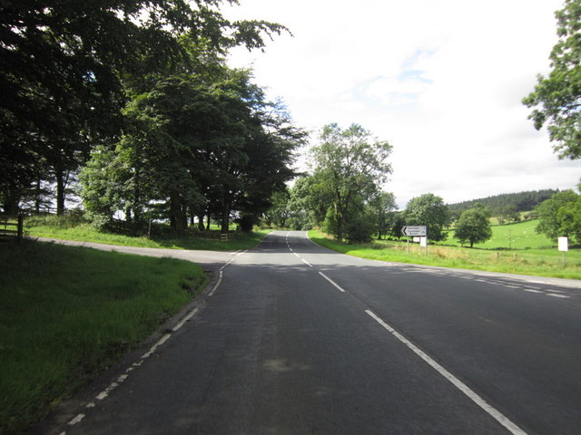
![Catterick Garrison, Vimy Barracks Un-named street [as far as I could see] leading to Queens Avenue.](https://s1.geograph.org.uk/geophotos/02/58/74/2587409_d2c13e24.jpg)
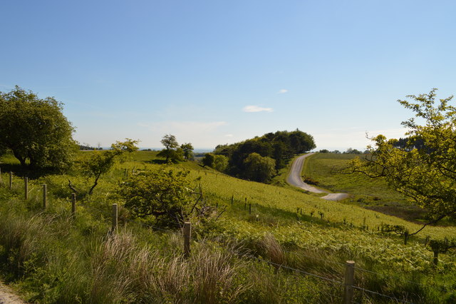
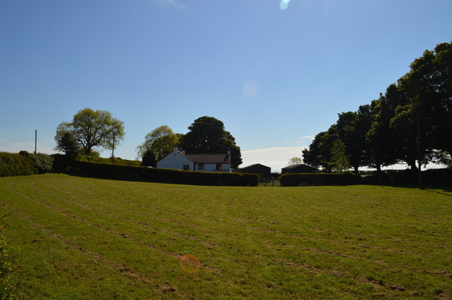
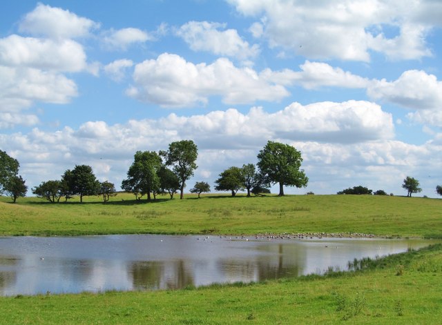
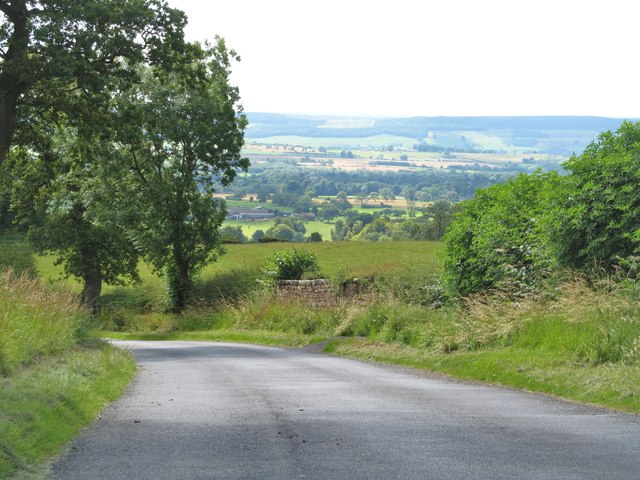
Scotton Moor is a picturesque area located in the county of Yorkshire, England. Situated amidst the beautiful landscape of the Yorkshire Dales, it is known for its stunning downs and moorland. Spanning an area of approximately 5 square miles, Scotton Moor offers a tranquil and idyllic setting for nature lovers and outdoor enthusiasts.
The moorland of Scotton Moor is characterized by its rolling hills, heather-clad landscapes, and expansive open spaces. Visitors can enjoy breathtaking panoramic views of the surrounding countryside, with its patchwork of fields and distant hills. The area is home to a diverse range of flora and fauna, including rare species such as the curlew, lapwing, and red grouse.
The downs of Scotton Moor provide ample opportunities for walking, hiking, and birdwatching. There are numerous footpaths and trails that crisscross the area, allowing visitors to explore its natural beauty at their own pace. The moorland is also a popular spot for picnics and family outings, with many designated areas offering scenic spots to relax and enjoy the surroundings.
In addition to its natural attractions, Scotton Moor has a rich history and cultural heritage. The area is dotted with ancient stone circles, burial mounds, and other archaeological sites, providing a glimpse into its past. Visitors can also find charming villages nearby, offering traditional pubs, local shops, and a warm welcome.
Overall, Scotton Moor is a hidden gem in Yorkshire, offering a blend of natural beauty, outdoor activities, and historical significance. Whether you are seeking solitude in nature or an adventure among the moorland, this area is sure to captivate and inspire.
If you have any feedback on the listing, please let us know in the comments section below.
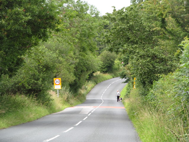
Scotton Moor Images
Images are sourced within 2km of 54.358427/-1.734867 or Grid Reference SE1795. Thanks to Geograph Open Source API. All images are credited.
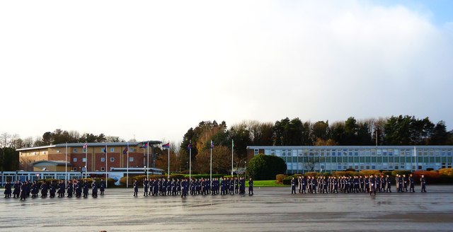
![Catterick Garrison, Vimy Barracks [2] One of the barracks on this very large camp which is part of the Infantry Training Centre. See <span class="nowrap"><a title="http://www.army.mod.uk/training_education/training/18145.aspx" rel="nofollow ugc noopener" href="http://www.army.mod.uk/training_education/training/18145.aspx">Link</a><img style="margin-left:2px;" alt="External link" title="External link - shift click to open in new window" src="https://s1.geograph.org.uk/img/external.png" width="10" height="10"/></span>](https://s2.geograph.org.uk/geophotos/02/58/74/2587418_b65843d3.jpg)
![Catterick Garrison, Vimy Barracks [3] View along Queens Avenue.](https://s3.geograph.org.uk/geophotos/02/58/74/2587423_09ba10bd.jpg)
Scotton Moor is located at Grid Ref: SE1795 (Lat: 54.358427, Lng: -1.734867)
Division: North Riding
Administrative County: North Yorkshire
District: Richmondshire
Police Authority: North Yorkshire
What 3 Words
///bronze.snug.bothered. Near Catterick Garrison, North Yorkshire
Nearby Locations
Related Wikis
Scotton, Richmondshire
Scotton is a village, civil parish and electoral ward in the Richmondshire district of North Yorkshire, England. The civil parish includes the centre and...

Catterick Camp railway station
Catterick Camp railway station was a railway station in what is now the Richmondshire district of North Yorkshire, England. It was built as the terminus...

A6136 road
The A6136 is a 4 digit A road in North Yorkshire, England. It runs between the A6108 Queen's Road, in the market town of Richmond, before terminating on...
Army Ground, Catterick
The Army Ground was a cricket ground in Catterick Garrison, North Yorkshire. The Garrison was established in 1914 and construction of a cricket ground...
Nearby Amenities
Located within 500m of 54.358427,-1.734867Have you been to Scotton Moor?
Leave your review of Scotton Moor below (or comments, questions and feedback).