Moor Side
Settlement in Yorkshire
England
Moor Side
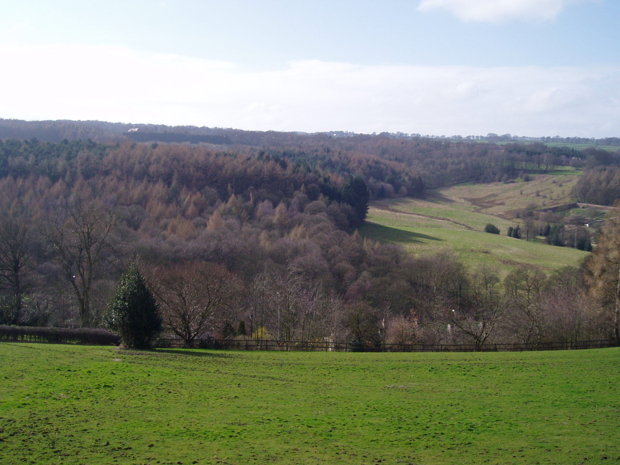
Moor Side is a quaint village located in the picturesque county of Yorkshire, England. Situated amidst rolling hills and verdant landscapes, this idyllic settlement is a haven for nature lovers and those seeking a peaceful retreat from the bustling city life.
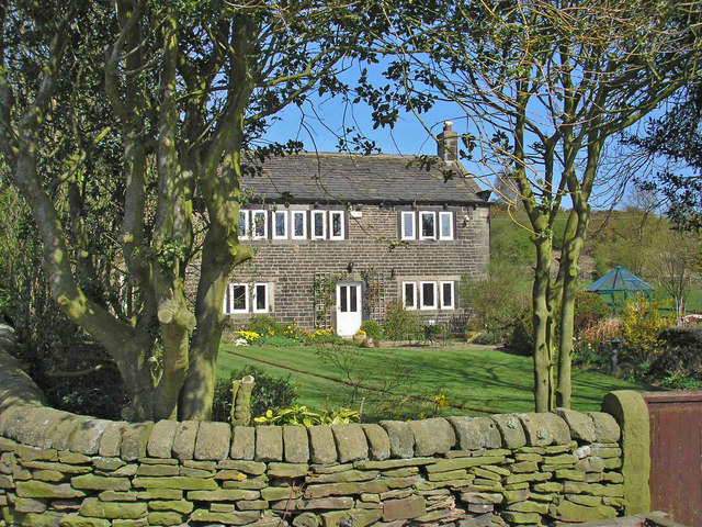
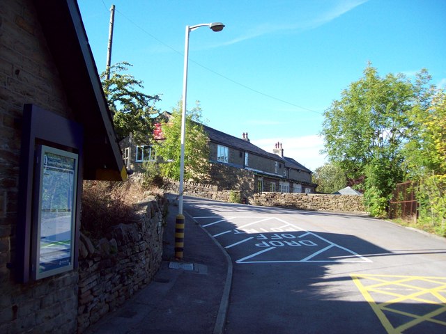
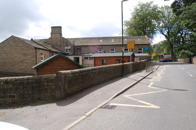
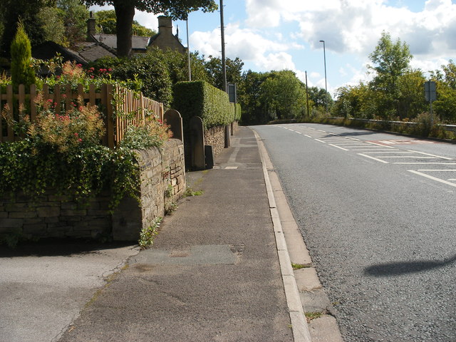
The village is known for its charming stone cottages, which exude a rustic charm that is characteristic of the region. The local architecture is a testament to the area's rich history, with some buildings dating back several centuries. The village church, with its impressive spire, stands as a prominent landmark and a reminder of the village's strong community ties.
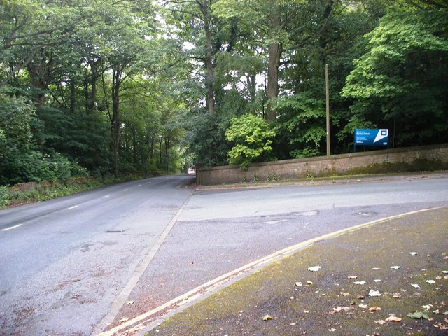
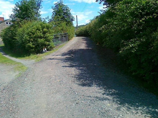
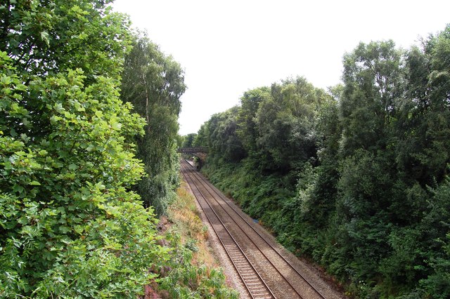
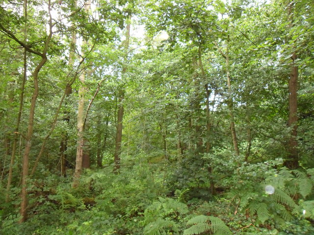
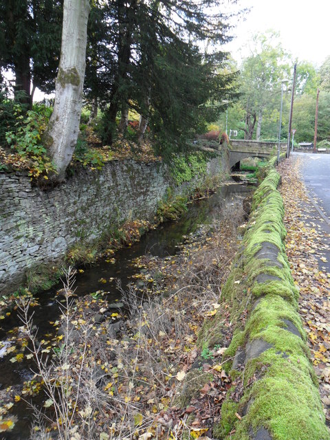
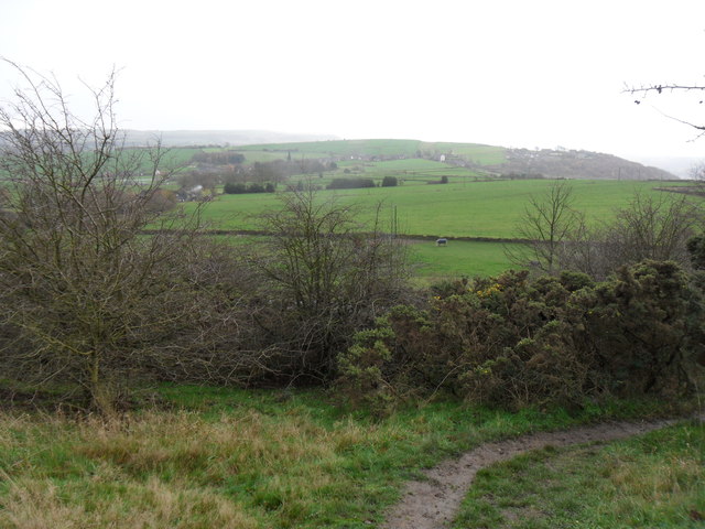
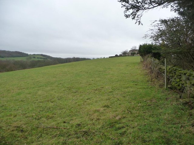
One of the defining features of Moor Side is its proximity to vast moorlands and lush forests, offering residents and visitors alike a plethora of outdoor activities. Hiking enthusiasts can explore the many trails that wind through the surrounding countryside, offering breathtaking views of the rugged landscape. The village also boasts several well-maintained parks, providing ample space for families to enjoy picnics or leisurely strolls.
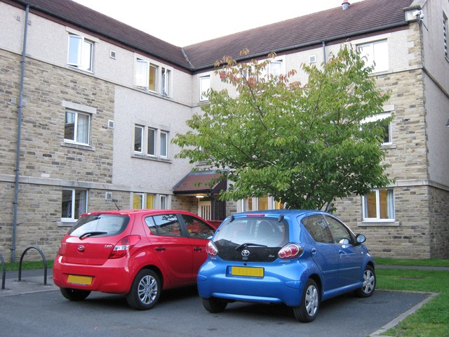
Despite its rural setting, Moor Side is not lacking in amenities. The village has a well-stocked local store, where residents can find all their daily necessities, and a cozy pub that serves as a gathering place for locals and visitors alike. Additionally, nearby towns offer a range of shops, restaurants, and other conveniences.
With its natural beauty, historical charm, and strong sense of community, Moor Side is a haven for those seeking a tranquil and enriching lifestyle in the heart of Yorkshire.
If you have any feedback on the listing, please let us know in the comments section below.
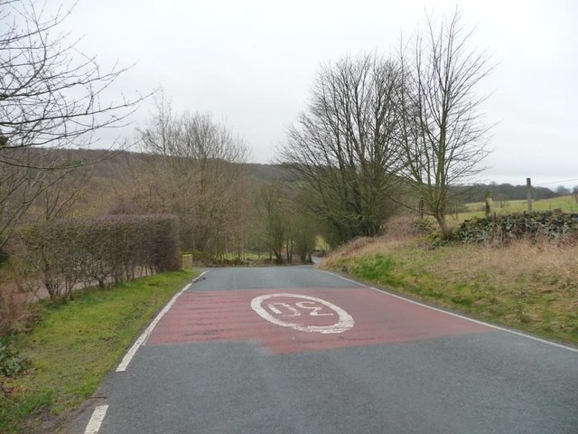
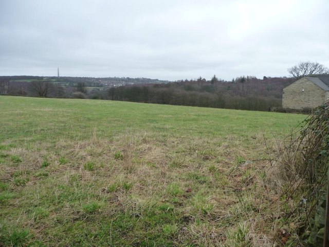
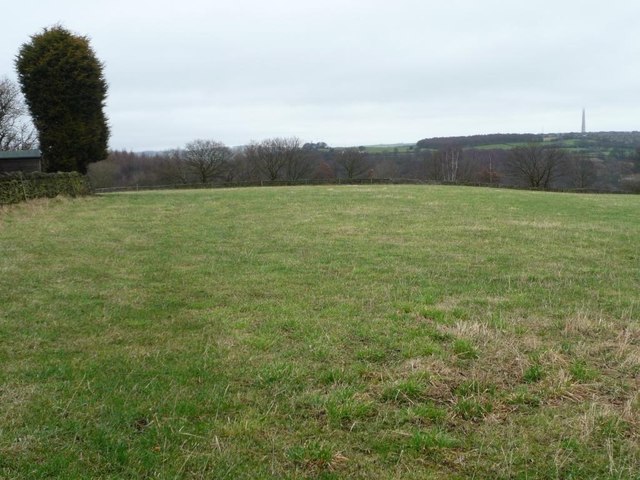
Moor Side Images
Images are sourced within 2km of 53.608564/-1.7345491 or Grid Reference SE1712. Thanks to Geograph Open Source API. All images are credited.


Moor Side is located at Grid Ref: SE1712 (Lat: 53.608564, Lng: -1.7345491)
Division: West Riding
Unitary Authority: Kirklees
Police Authority: West Yorkshire
What 3 Words
///builders.wash.grips. Near Kirkburton, West Yorkshire
Related Wikis

Storthes Hall
Storthes Hall is part of the civil parish of Kirkburton in West Yorkshire, England. A heavily wooded area, it comprises a single road, Storthes Hall Lane...
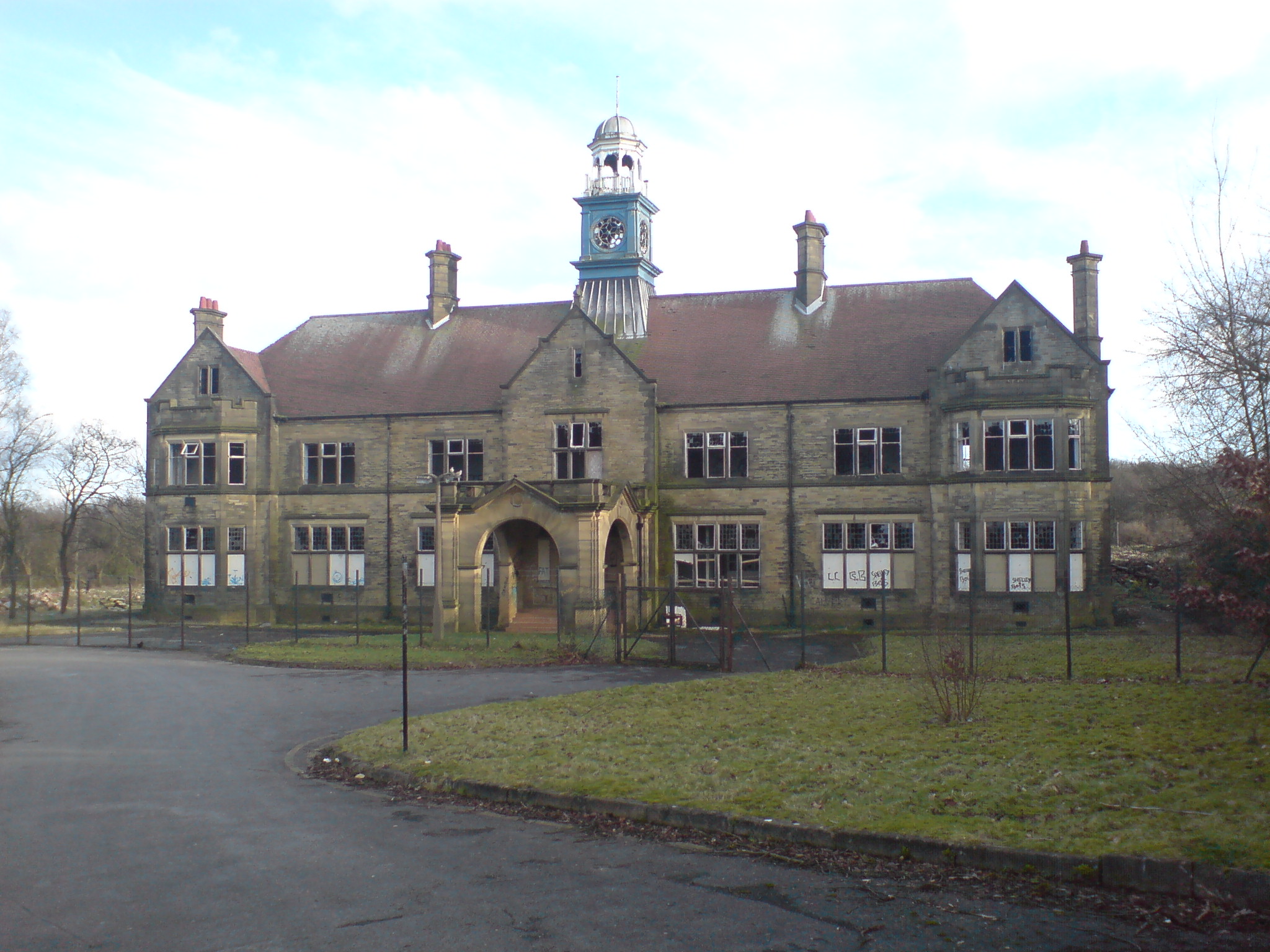
Storthes Hall Hospital
Storthes Hall Hospital was a mental health facility at Storthes Hall, Huddersfield, West Yorkshire, England. Founded in 1904, it expanded to over 3,000...

Huddersfield Town F.C. Women
Huddersfield Town Women Football Club is an English women's football club based in Huddersfield, West Yorkshire. The team play their homes matches at the...
Shelley C.F.C.
Shelley Community Football Club is a football club based in Shelley, West Yorkshire, England. They are currently members of the North West Counties League...

Farnley Tyas
Farnley Tyas is a village in the parish of Kirkburton, in the Kirklees district, in the county of West Yorkshire, England 3 miles (4.8 km) south east of...
Myers Wood
Myers Wood is a wooded area in the village of Kirkburton, West Yorkshire, England. It forms part of a heavily forested area to the west of the village...

South Pennines
The South Pennines is a region of moorland and hill country in northern England lying towards the southern end of the Pennines. In the west it includes...
Kirkburton railway station
Kirkburton railway station served the village of Kirkburton, West Yorkshire, England until closure in 1930. == History == The Huddersfield-Kirkburton Branch...
Nearby Amenities
Located within 500m of 53.608564,-1.7345491Have you been to Moor Side?
Leave your review of Moor Side below (or comments, questions and feedback).