Moor Side

Settlement in Yorkshire

England

Moor Side

Airport Leeds Bradford airport, from Plane Tree Hill
Airport Credit: David Johnston

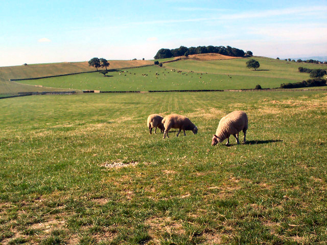
Moor Side is a charming village located in Yorkshire, England. Situated amidst the picturesque landscape of the Yorkshire Dales, it is surrounded by rolling hills, lush meadows, and breathtaking moorland. The village is renowned for its natural beauty and tranquil atmosphere, making it a popular destination for nature enthusiasts and those seeking a peaceful retreat.

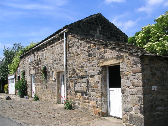
Despite its small size, Moor Side boasts a close-knit community that warmly welcomes visitors. The village is characterized by traditional stone-built houses, giving it a quaint and timeless appeal. The local architecture seamlessly blends with the stunning surroundings, creating a harmonious blend of nature and human habitation.

Moor Side offers various amenities to cater to the needs of its residents and tourists. A cozy village pub provides a friendly gathering place for locals and visitors alike, offering a selection of traditional dishes and locally brewed ales. Additionally, the village has a small convenience store where essentials can be purchased.

Nature lovers will be delighted by the abundance of outdoor activities available in Moor Side. The surrounding moorland and hills offer numerous walking and hiking trails, allowing visitors to explore the breathtaking landscapes and discover hidden gems. The village is also a popular base for birdwatching, with a diverse range of avian species inhabiting the area.

Overall, Moor Side is a hidden gem in the heart of Yorkshire, offering a peaceful and idyllic setting for those seeking respite from the busy city life. With its natural beauty, welcoming community, and array of outdoor activities, this charming village is a must-visit destination for anyone looking to immerse themselves in the tranquility of the Yorkshire countryside.

If you have any feedback on the listing, please let us know in the comments section below.
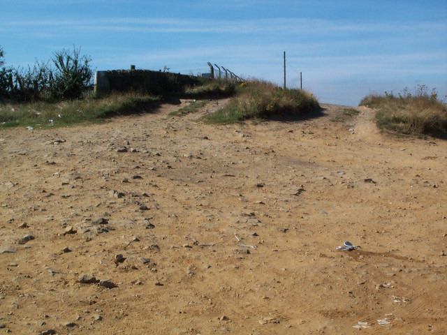
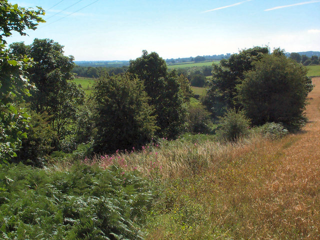
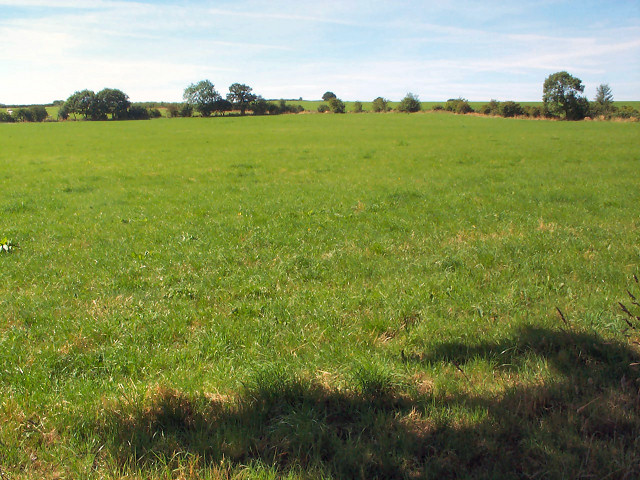
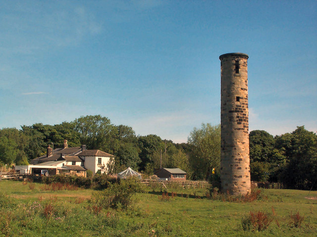
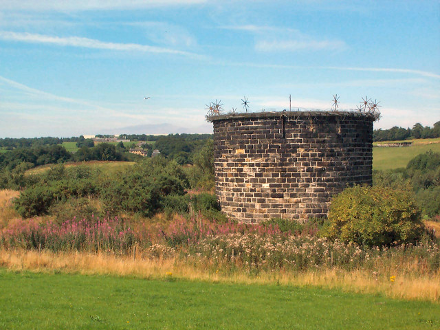
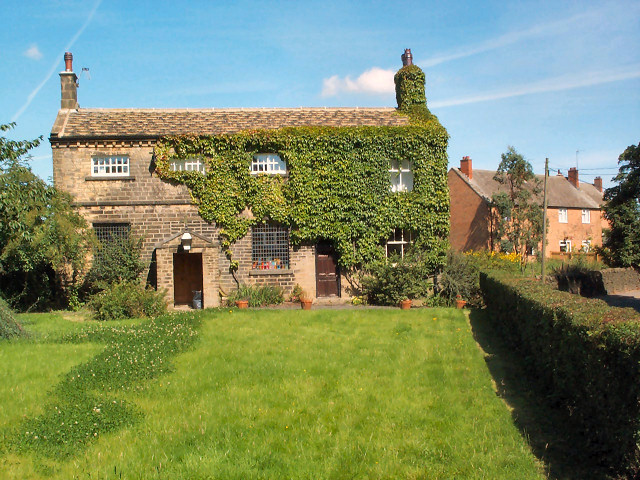
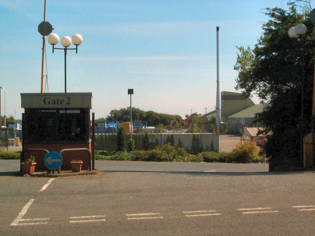
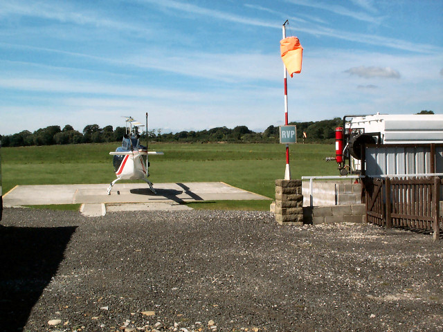
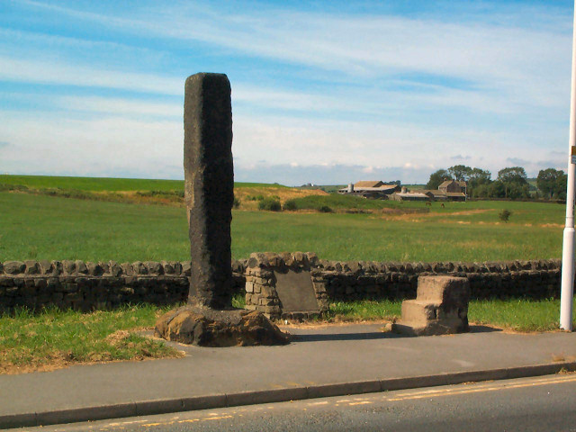
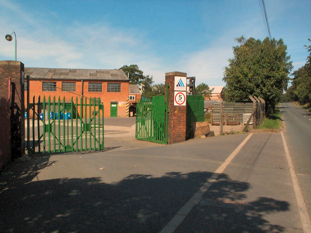
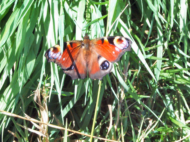
Moor Side Images

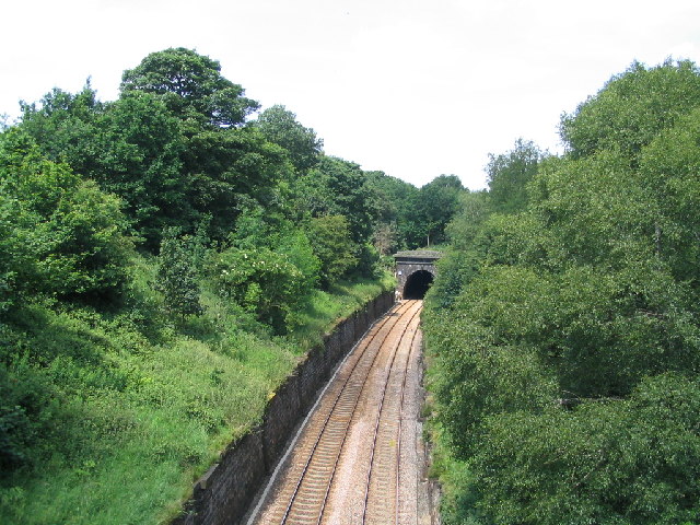
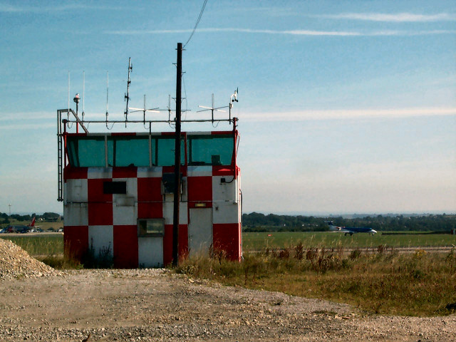
Images are sourced within 2km of 53.870485/-1.6469999 or Grid Reference SE2341. Thanks to Geograph Open Source API. All images are credited.

Airport Leeds Bradford airport, from Plane Tree Hill
Airport
Leeds Bradford airport, from Plane Tree Hill
Takeoff A JET2.COM 737 on takeoff from Leeds Bradford Airport
Seen from Plane Tree Hill.
Takeoff
A JET2.COM 737 on takeoff from Leeds Bradford Airport Seen from Plane Tree Hill.
Moseley Bottom The  entrance to the railway tunnel at Moseley Bottom on the Leeds to Harrogate line
Moseley Bottom
The entrance to the railway tunnel at Moseley Bottom on the Leeds to Harrogate line
Scotland, Yorkshire An old cottage and adjoining stable at the hamlet of Scotland, the hamlet is directly under the flight path from Leeds Bradford Airport.
Scotland, Yorkshire
An old cottage and adjoining stable at the hamlet of Scotland, the hamlet is directly under the flight path from Leeds Bradford Airport.
Sheep pastures behind The Billing The view southwest from Bayton Lane contrasts with the northeast side of the gridsquare (part of Leeds-Bradford Airport).
Sheep pastures behind The Billing
The view southwest from Bayton Lane contrasts with the northeast side of the gridsquare (part of Leeds-Bradford Airport).
Tower at Leeds Bradford Airport Old tower midway along the southwestern periphery of the airport, off Bayton Lane.
Tower at Leeds Bradford Airport
Old tower midway along the southwestern periphery of the airport, off Bayton Lane.
Trig point at Plane Tree Hill The trig point has had a wall built up against it and is visible at the wall's left end. This area behind Leeds Bradford Airport is used for impromptu motorsport (despite police notices). The map calls this Plane Tree Hill; it has plenty of planes, but few trees.
Trig point at Plane Tree Hill
The trig point has had a wall built up against it and is visible at the wall's left end. This area behind Leeds Bradford Airport is used for impromptu motorsport (despite police notices). The map calls this Plane Tree Hill; it has plenty of planes, but few trees.
Valley of Bramhope Beck View southeast towards None-go-bye's Hill.
Valley of Bramhope Beck
View southeast towards None-go-bye's Hill.
Crag Hill, Bramhope Moor Pasture land viewed southwards from Old Road.
Crag Hill, Bramhope Moor
Pasture land viewed southwards from Old Road.
Sighting tower south of Bramhope This is a sighting tower, built so that the engineers could keep a true line during construction of the Bramhope Tunnel on the Leeds to Harrogate railway line, directly underneath this point. This field was also used as a navvie camp during construction.  See <span class="nowrap"><a title="http://www.bramhope.org/brtunnel.htm" rel="nofollow ugc noopener" href="http://www.bramhope.org/brtunnel.htm">Link</a><img style="margin-left:2px;" alt="External link" title="External link - shift click to open in new window" src="https://s1.geograph.org.uk/img/external.png" width="10" height="10"/></span>
Sighting tower south of Bramhope
This is a sighting tower, built so that the engineers could keep a true line during construction of the Bramhope Tunnel on the Leeds to Harrogate railway line, directly underneath this point. This field was also used as a navvie camp during construction. See LinkExternal link
Air shaft, Bramhope Tunnel Bramhope Tunnel is on the Leeds to Harrogate railway line. The tunnel is over two miles long and was constructed from 1845 to 1849 at a cost of 24 lives. There are four of these shafts, and also a sighting tower survives (SE2442).  See the excellent description at <span class="nowrap"><a title="http://www.bramhope.org/brtunnel.htm" rel="nofollow ugc noopener" href="http://www.bramhope.org/brtunnel.htm">Link</a><img style="margin-left:2px;" alt="External link" title="External link - shift click to open in new window" src="https://s1.geograph.org.uk/img/external.png" width="10" height="10"/></span>
Air shaft, Bramhope Tunnel
Bramhope Tunnel is on the Leeds to Harrogate railway line. The tunnel is over two miles long and was constructed from 1845 to 1849 at a cost of 24 lives. There are four of these shafts, and also a sighting tower survives (SE2442). See the excellent description at LinkExternal link
Long stay car park, Leeds Bradford Airport Adjacent to Whitehouse Lane.
Long stay car park, Leeds Bradford Airport
Adjacent to Whitehouse Lane.
Carlton Church In East Carlton village, this unostentatious former church is now a private house.
Carlton Church
In East Carlton village, this unostentatious former church is now a private house.
Leeds Bradford Airport Industrial Estate The biggest thing in the gridsquare is the enormous, but thankfully well-screened, shed known as Leeds Bradford Airport Industrial Estate. This is the northern entrance gate on the A658. A tiny part of the northern end of the shed can be seen to the right.
Leeds Bradford Airport Industrial Estate
The biggest thing in the gridsquare is the enormous, but thankfully well-screened, shed known as Leeds Bradford Airport Industrial Estate. This is the northern entrance gate on the A658. A tiny part of the northern end of the shed can be seen to the right.
Leeds Heliport On the northwestern side of the A658.
Leeds Heliport
On the northwestern side of the A658.
Long Stoop At the western side of the main Airport roundabout of the A658. The accompanying stone inscription reads: 'THIS MARKER STONE (LONG STOOP) ERECTED HUNDREDS OF YEARS AGO TO GUIDE TRAVELLERS TOWARDS AN ANCIENT SETTLEMENT AT DENE HEAD TO THE EAST WAS MOVED FROM ITS EARLIER SITE 186 YARDS TO THE SOUTH WEST IN THE YEAR 1984 FOR RUNWAY EXTENSIONS. AIREBOROUGH CIVIC SOCIETY.'
Long Stoop
At the western side of the main Airport roundabout of the A658. The accompanying stone inscription reads: 'THIS MARKER STONE (LONG STOOP) ERECTED HUNDREDS OF YEARS AGO TO GUIDE TRAVELLERS TOWARDS AN ANCIENT SETTLEMENT AT DENE HEAD TO THE EAST WAS MOVED FROM ITS EARLIER SITE 186 YARDS TO THE SOUTH WEST IN THE YEAR 1984 FOR RUNWAY EXTENSIONS. AIREBOROUGH CIVIC SOCIETY.'
Carlton Industrial Estate South of East Carlton village, this is the Austin Hayes factory. The area is increasingly characterised by industrial units tucked away in the hinterland of Leeds Bradford Airport.
Carlton Industrial Estate
South of East Carlton village, this is the Austin Hayes factory. The area is increasingly characterised by industrial units tucked away in the hinterland of Leeds Bradford Airport.
This is a PEACOCK butterfly :-) It was on the footpath behind Leeds Bradford Airport Industrial Estate. See <a title="https://www.geograph.org.uk/discuss/index.php?&action=vthread&forum=2&topic=603" href="https://www.geograph.org.uk/discuss/index.php?&action=vthread&forum=2&topic=603">Link</a>
This is a PEACOCK butterfly :-)
It was on the footpath behind Leeds Bradford Airport Industrial Estate. See Link
Show me another place!

Moor Side is located at Grid Ref: SE2341 (Lat: 53.870485, Lng: -1.6469999)

Division: West Riding

Unitary Authority: Leeds

Police Authority: West Yorkshire

What 3 Words

///digits.grape.pipes. Near Bramhope, West Yorkshire

Related Wikis

Leeds Bradford Airport

Leeds Bradford Airport (IATA: LBA, ICAO: EGNM) is located in Yeadon, in the City of Leeds Metropolitan District in West Yorkshire, England, about 7 miles...

Leeds Bradford Airport Parkway railway station

Leeds/Bradford Airport Parkway station is a proposed railway station near Horsforth, Leeds, in West Yorkshire. It would have around 300 parking spaces...

Carlton, Wharfedale

Carlton is a civil parish in the City of Leeds in West Yorkshire, England. It consists of the villages of East Carlton and West Carlton, and in 2001 had...

Aireborough

Aireborough was a local government district in the West Riding of Yorkshire, England from 1937 to 1974. It was formed through the abolition of the urban...

Nearby Amenities

Located within 500m of 53.870485,-1.6469999
Moor Side
Place: hamlet
Source: os_25k_firstseries
Lat/Long: 53.8700365/-1.6482367
Aeroway: holding_position
Ref: N4
Source: Bing
Lat/Long: 53.8677856/-1.6521436
Crossing
Crossing: uncontrolled
Crossing Ref: zebra
Source: Bing
Lat/Long: 53.8680561/-1.6492057
Traffic Calming: cushion
Lat/Long: 53.8701904/-1.6505843
Barrier: lift_gate
Bicycle: no
Foot: no
Motorcar: yes
Lat/Long: 53.8683402/-1.6491292
Traffic Calming: cushion
Lat/Long: 53.8700091/-1.6527004
Crossing
Crossing: uncontrolled
Crossing Ref: zebra
Source: Bing
Lat/Long: 53.8682659/-1.6477689
Crossing
Crossing: uncontrolled
Crossing Ref: zebra
Source: Bing
Lat/Long: 53.8683356/-1.6474835
Crossing
Crossing: uncontrolled
Crossing Ref: zebra
Source: Bing
Lat/Long: 53.86839/-1.6472586
Barrier: lift_gate
Motorcar: yes
Motorcycle: yes
Lat/Long: 53.8684733/-1.6478468
Barrier: lift_gate
Motorcar: yes
Motorcycle: yes
Lat/Long: 53.8685277/-1.6477113
Crossing
Crossing: uncontrolled
Crossing Ref: zebra
Source: Bing
Lat/Long: 53.8664206/-1.6497492
Crossing
Crossing: uncontrolled
Crossing Ref: zebra
Source: Bing
Lat/Long: 53.8664247/-1.6500305
Crossing
Crossing: uncontrolled
Crossing Ref: zebra
Source: Bing
Lat/Long: 53.866428/-1.6502578
Crossing
Crossing: uncontrolled
Crossing Ref: zebra
Source: Bing
Lat/Long: 53.8664534/-1.6495678
Crossing
Crossing: uncontrolled
Crossing Ref: zebra
Source: Bing
Lat/Long: 53.8665272/-1.6490574
Crossing
Crossing: uncontrolled
Crossing Ref: zebra
Source: Bing
Lat/Long: 53.866554/-1.6488178
Crossing
Crossing: uncontrolled
Crossing Ref: zebra
Source: Bing
Lat/Long: 53.8665808/-1.6485777
Crossing
Crossing: uncontrolled
Crossing Ref: zebra
Source: Bing
Lat/Long: 53.8666188/-1.6482376
Crossing
Crossing: uncontrolled
Crossing Ref: zebra
Source: Bing
Lat/Long: 53.8666449/-1.6480041
Crossing
Crossing: uncontrolled
Crossing Ref: zebra
Source: Bing
Lat/Long: 53.8671577/-1.6486525
Crossing
Crossing: uncontrolled
Crossing Ref: zebra
Source: Bing
Lat/Long: 53.8696573/-1.6517411
Crossing
Crossing: uncontrolled
Crossing Ref: zebra
Source: Bing
Lat/Long: 53.8696791/-1.6515078
Crossing
Crossing: uncontrolled
Crossing Ref: zebra
Source: Bing
Lat/Long: 53.8697001/-1.6512701
Crossing
Crossing: uncontrolled
Crossing Ref: zebra
Source: Bing
Lat/Long: 53.8697209/-1.6510358
Crossing
Crossing: uncontrolled
Crossing Ref: zebra
Source: Bing
Lat/Long: 53.8697402/-1.6508082
Crossing
Crossing: uncontrolled
Crossing Ref: zebra
Source: Bing
Lat/Long: 53.8697618/-1.650573
Crossing
Crossing: uncontrolled
Crossing Ref: zebra
Source: Bing
Lat/Long: 53.8697959/-1.6502905
Crossing
Crossing: uncontrolled
Crossing Ref: zebra
Lat/Long: 53.8694746/-1.6531555
Crossing
Crossing: uncontrolled
Crossing Ref: zebra
Lat/Long: 53.8696104/-1.6537645
Crossing
Crossing: uncontrolled
Crossing Ref: zebra
Lat/Long: 53.8696166/-1.6540027
Crossing
Crossing: uncontrolled
Crossing Ref: zebra
Lat/Long: 53.8696268/-1.6542502
Barrier: lift_gate
Lat/Long: 53.8696504/-1.6532545
Crossing
Crossing: uncontrolled
Crossing Ref: zebra
Source: Bing
Lat/Long: 53.8672994/-1.6473445
Crossing
Crossing: uncontrolled
Crossing Ref: zebra
Source: Bing
Lat/Long: 53.8673539/-1.647124
Crossing
Crossing: uncontrolled
Crossing Ref: zebra
Source: Bing
Lat/Long: 53.8674265/-1.6468299
Crossing
Crossing: uncontrolled
Crossing Ref: zebra
Source: Bing
Lat/Long: 53.8674812/-1.6466085
Give Way
Lat/Long: 53.8681191/-1.6513725
Crossing
Crossing: marked
Lat/Long: 53.8681374/-1.6482866
Crossing
Crossing: uncontrolled
Crossing Ref: zebra
Source: Bing
Lat/Long: 53.8682104/-1.6479942
Crossing
Crossing: uncontrolled
Crossing Ref: zebra
Source: Bing
Lat/Long: 53.8683361/-1.6477065
Crossing
Crossing: uncontrolled
Crossing Ref: zebra
Source: Bing
Lat/Long: 53.8684862/-1.6482816
Crossing
Crossing: uncontrolled
Crossing Ref: zebra
Source: Bing
Lat/Long: 53.8686101/-1.6486167
Barrier: lift_gate
Lat/Long: 53.8698024/-1.649368
Barrier: lift_gate
Lat/Long: 53.8697716/-1.649362
Give Way
Lat/Long: 53.869777/-1.649307
Give Way
Lat/Long: 53.8698089/-1.6493154
Traffic Calming: cushion
Lat/Long: 53.8701144/-1.6542933
Give Way
Lat/Long: 53.870256/-1.6494634
Give Way
Lat/Long: 53.8705105/-1.6470747
Car Rental
Car Hire agencies
Lat/Long: 53.8698111/-1.649075
Crossing
Crossing: uncontrolled
Crossing Ref: zebra
Lat/Long: 53.8694474/-1.6507461
Crossing
Crossing: uncontrolled
Crossing Ref: zebra
Lat/Long: 53.8667589/-1.6463152
Crossing
Crossing: uncontrolled
Crossing Ref: zebra
Lat/Long: 53.8667314/-1.6465444
Crossing
Crossing: uncontrolled
Crossing Ref: zebra
Lat/Long: 53.8666975/-1.6468269
Crossing
Crossing: uncontrolled
Crossing Ref: zebra
Lat/Long: 53.8666698/-1.6470575
Crossing
Crossing: uncontrolled
Crossing Ref: zebra
Lat/Long: 53.8667875/-1.6460767
Car Rental
Hertz Car Rental
Lat/Long: 53.8701965/-1.6473419
Car Rental
Brand: Europcar
Lat/Long: 53.8699961/-1.648998
Parking
Lat/Long: 53.8693638/-1.6469853
Turning Loop
Lat/Long: 53.8696399/-1.6480234
Parking
Lat/Long: 53.8696014/-1.6475363
Parking
Lat/Long: 53.8693047/-1.6486462
Crossing
Crossing: marked
Lat/Long: 53.8666314/-1.6473872
Access: no
Barrier: stile
Foot: yes
Material: wood
Stile: stepover
Lat/Long: 53.8681991/-1.6423258
Material: wood
Power: pole
Lat/Long: 53.8681142/-1.6424026
Material: wood
Power: pole
Lat/Long: 53.8675173/-1.6414376
Material: wood
Power: pole
Lat/Long: 53.8687402/-1.6434276
Material: wood
Power: pole
Lat/Long: 53.8693419/-1.6444196
Material: wood
Power: pole
Lat/Long: 53.8698836/-1.6452774
Material: wood
Power: pole
Lat/Long: 53.8701425/-1.6456555
Barrier: stile
Material: stone
Step Count: 2
Stile: stepover
Lat/Long: 53.868898/-1.6464155
Turning Loop
Lat/Long: 53.8728298/-1.6483593
Access: no
Barrier: stile
Foot: yes
Material: wood
Stile: stepover
Lat/Long: 53.8687249/-1.6444366
Crossing
Crossing: marked
Lat/Long: 53.867791/-1.6480418
Aeroway: gate
Ref: 19
Source: UK AIP
Lat/Long: 53.8675274/-1.6507387
Aeroway: gate
Ref: 20B
Source: UK AIP
Lat/Long: 53.8670118/-1.651133
Aeroway: gate
Ref: 20A
Source: UK AIP
Lat/Long: 53.867132/-1.6507146
Crossing
Crossing: marked
Lat/Long: 53.8689973/-1.6520141
Crossing
Crossing: marked
Lat/Long: 53.8689997/-1.6521871
Crossing
Crossing: marked
Lat/Long: 53.8690037/-1.6524849
Crossing
Crossing: marked
Lat/Long: 53.8690094/-1.6528859
Crossing
Crossing: marked
Lat/Long: 53.8690213/-1.6536785
Give Way
Lat/Long: 53.8678295/-1.651418
Give Way
Lat/Long: 53.8669106/-1.6512658
Aeroway: gate
Ref: 14A
Lat/Long: 53.868931/-1.6540056
Aeroway: gate
Ref: 14
Source: Bing
Lat/Long: 53.8689041/-1.654125
Aeroway: gate
Ref: 15R
Source: Bing
Lat/Long: 53.868946/-1.6533861
Aeroway: gate
Ref: 15L
Source: Bing
Lat/Long: 53.8688978/-1.6534196
Aeroway: gate
Ref: 16L
Source: Bing
Lat/Long: 53.8688836/-1.6527946
Aeroway: gate
Ref: 16R
Source: Bing
Lat/Long: 53.8689401/-1.6526082
Aeroway: gate
Ref: 17
Source: Bing
Lat/Long: 53.8688788/-1.6521965
Aeroway: gate
Ref: 18L
Source: Bing
Lat/Long: 53.868912/-1.6518203
Aeroway: gate
Ref: 18R
Source: Bing
Lat/Long: 53.8688507/-1.6516192
The data included in this document is from www.openstreetmap.org. The data is made available under ODbL.

Have you been to Moor Side?

Leave your review of Moor Side below (or comments, questions and feedback).