Gravel Hill Copse
Wood, Forest in Hampshire New Forest
England
Gravel Hill Copse
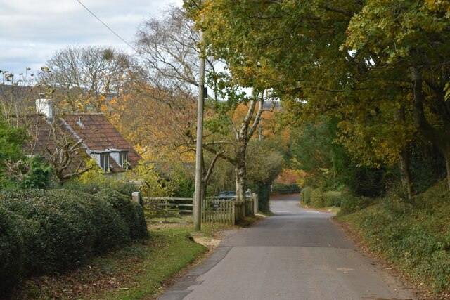
Gravel Hill Copse is a scenic woodland located in the county of Hampshire, England. Covering an area of approximately 100 hectares, it is a beautiful example of a traditional British copse or small woodland. The copse is situated near the village of Four Marks, just south of the town of Alton.
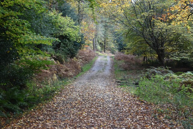
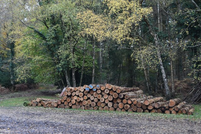
As its name suggests, Gravel Hill Copse is characterized by its hilly terrain, with undulating slopes and gravelly soil. The woodland is predominantly composed of broadleaf trees, including oak, beech, and birch, which create a rich and diverse canopy. The forest floor is adorned with an array of wildflowers, such as bluebells, primroses, and wood anemones, creating a colorful carpet during the spring months.
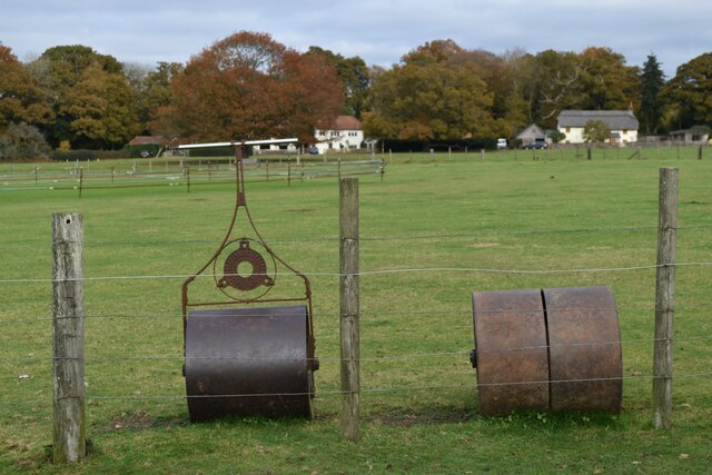
The copse is home to a variety of wildlife, including several species of birds, such as woodpeckers, thrushes, and owls. Mammals such as deer, foxes, and rabbits can also be spotted in the area. The woodland provides an important habitat for these creatures, offering shelter and food sources.
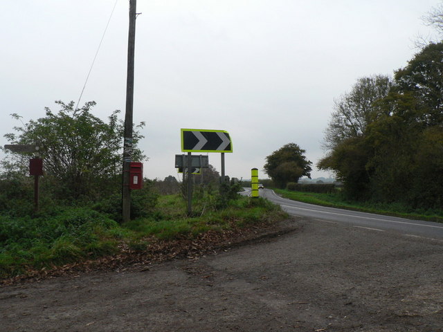
Gravel Hill Copse attracts visitors throughout the year, who come to enjoy its natural beauty and tranquility. There are well-maintained footpaths that wind through the woodland, allowing visitors to explore the copse at their own pace. The copse also offers opportunities for recreational activities, such as picnicking, nature photography, and birdwatching.
Overall, Gravel Hill Copse is a picturesque woodland in Hampshire, offering visitors a chance to escape the bustle of everyday life and immerse themselves in the beauty of nature.
If you have any feedback on the listing, please let us know in the comments section below.
Gravel Hill Copse Images
Images are sourced within 2km of 50.967877/-1.7468873 or Grid Reference SU1718. Thanks to Geograph Open Source API. All images are credited.


Gravel Hill Copse is located at Grid Ref: SU1718 (Lat: 50.967877, Lng: -1.7468873)
Administrative County: Hampshire
District: New Forest
Police Authority: Hampshire
What 3 Words
///homeward.fans.formally. Near Downton, Wiltshire
Nearby Locations
Related Wikis

South Charford
South Charford is a hamlet in the New Forest district, in Hampshire, England. It is in the civil parish of Breamore on the west bank of the River Avon...

Hale, Hampshire
Hale is a small village and civil parish in Hampshire, England. It lies on the border of the New Forest, overlooking the valley of the River Avon. The...

Woodgreen
Woodgreen is a village and civil parish within the New Forest district of Hampshire in England. == Overview == Woodgreen lies between Breamore and Hale...
North Charford
North Charford is a hamlet in the New Forest district, in Hampshire, England, near the Wiltshire border. Historically the name refers to a manor which...
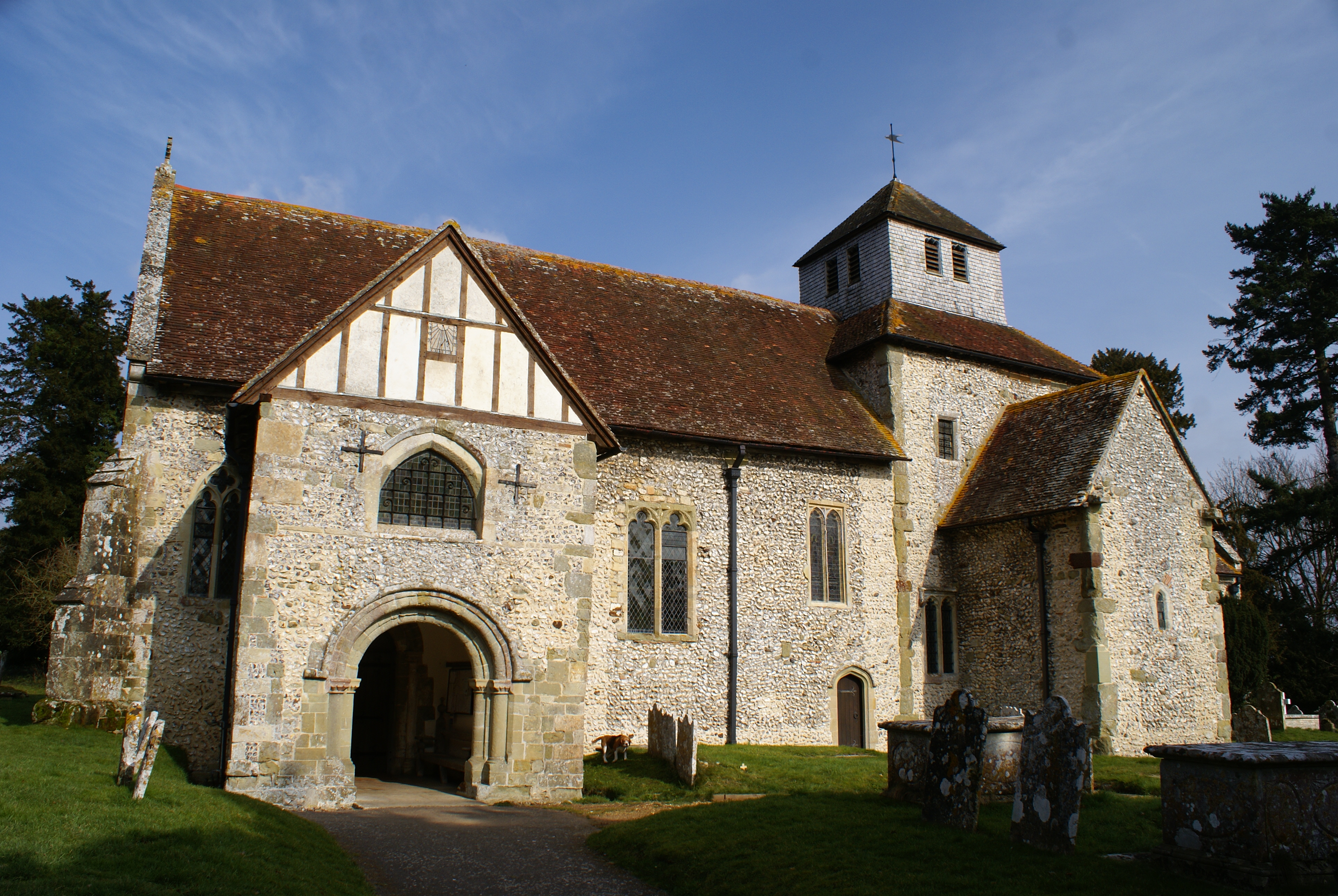
Breamore
Breamore ( BREM-ər) is a village and civil parish near Fordingbridge in Hampshire, England. The parish includes a notable Elizabethan country house, Breamore...
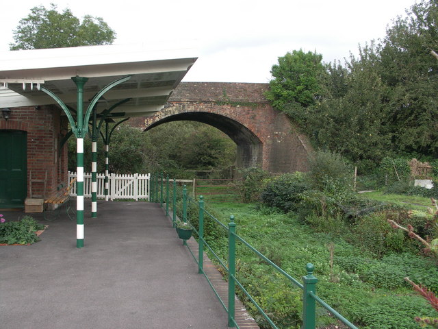
Breamore railway station
Breamore railway station was a railway station in the Avon Valley at the village of Breamore, Hampshire, England. The station was built for the Salisbury...

The Trafalgar School at Downton
The Trafalgar School at Downton is a Coeducational secondary school in Downton in the south of the English county of Wiltshire.The school began as a secondary...
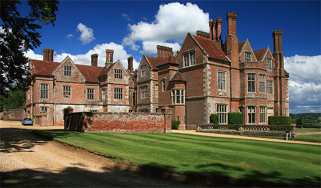
Breamore House
Breamore House is an Elizabethan manor house noted for its fine collection of paintings and furniture and situated NW of Breamore village, north of Fordingbridge...
Nearby Amenities
Located within 500m of 50.967877,-1.7468873Have you been to Gravel Hill Copse?
Leave your review of Gravel Hill Copse below (or comments, questions and feedback).